Lincoln County is a county in the U.S. state of Wyoming. As of the 2020 United States Census, the population was 19,581. Its county seat is Kemmerer. Its western border abuts the eastern borders of the states of Idaho and Utah.
| Name: | Lincoln County |
|---|---|
| FIPS code: | 56-023 |
| State: | Wyoming |
| Founded: | February 21, 1911 (authorized) 1913 (organized) |
| Named for: | Abraham Lincoln |
| Seat: | Kemmerer |
| Largest city: | Kemmerer |
| Total Area: | 4,095 sq mi (10,610 km²) |
| Land Area: | 4,076 sq mi (10,560 km²) |
| Total Population: | 19,581 |
| Population Density: | 4.8/sq mi (1.8/km²) |
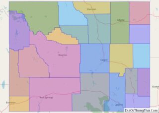
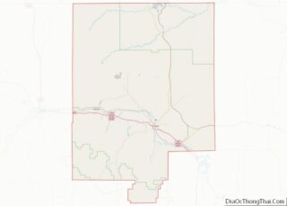
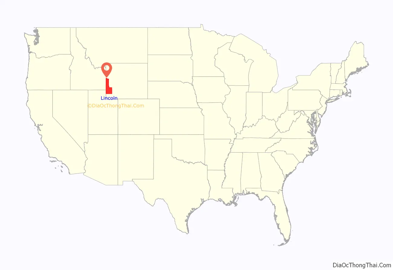
Lincoln County location map. Where is Lincoln County?
History
Lincoln County was created February 21, 1911, with land detached from Uinta County. Its government was organized in 1913.
The county was named for Abraham Lincoln, sixteenth president of the United States.
In 1921, portions of Lincoln County were annexed to create Sublette County and Teton County, leaving Lincoln County with its present borders.
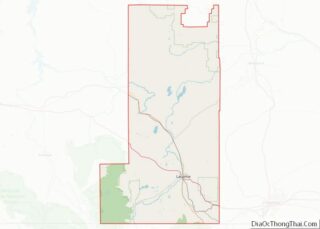
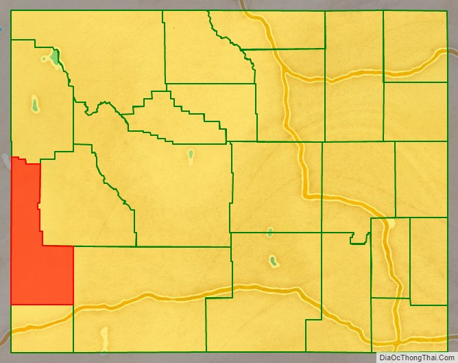
Lincoln County Road Map
Geography
According to the US Census Bureau, the county has a total area of 4,095 square miles (10,610 km), of which 4,076 square miles (10,560 km) is land and 19 square miles (49 km) (0.5%) is water.
Adjacent counties
- Teton County – north
- Sublette County – northeast
- Sweetwater County – east
- Uinta County – south
- Rich County, Utah – southwest
- Bear Lake County, Idaho – west
- Caribou County, Idaho – northwest
- Bonneville County, Idaho – northwest
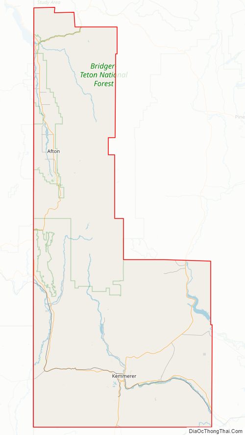
National protected areas
- Bridger-Teton National Forest (part)
- Caribou-Targhee National Forest (part)
- Cokeville Meadows National Wildlife Refuge
- Fossil Butte National Monument
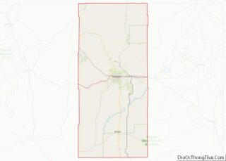
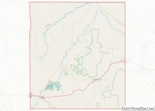
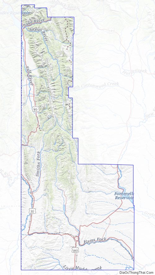
Lincoln County Topographic Map
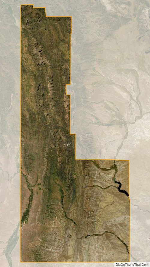
Lincoln County Satellite Map
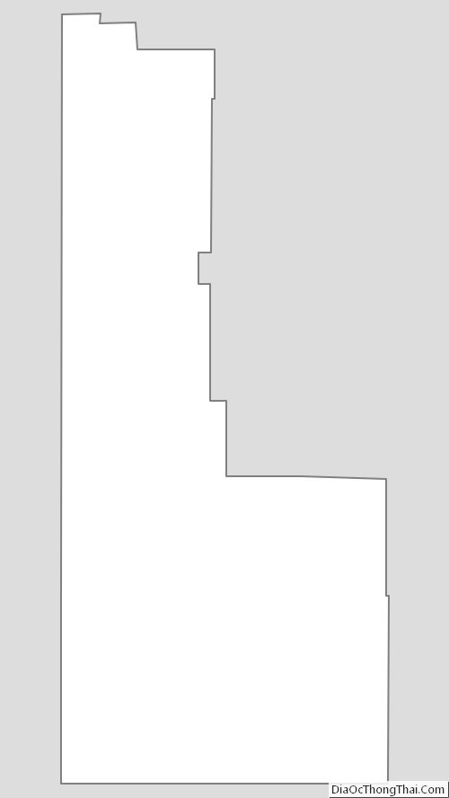
Lincoln County Outline Map