Kemmerer is the largest city in and the county seat of Lincoln County, Wyoming, United States. Its population was 2,415 at the 2020 census.
| Name: | Kemmerer city |
|---|---|
| LSAD Code: | 25 |
| LSAD Description: | city (suffix) |
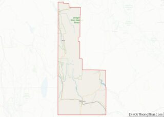
| State: | Wyoming |
| County: | Lincoln County |
| Elevation: | 6,949 ft (2,118 m) |
| Total Area: | 7.81 sq mi (20.22 km²) |
| Land Area: | 7.80 sq mi (20.20 km²) |
| Water Area: | 0.01 sq mi (0.01 km²) |
| Total Population: | 2,656 |
| Population Density: | 352.39/sq mi (136.06/km²) |
| ZIP code: | 83101 |
| Area code: | 307 |
| FIPS code: | 5642005 |
| GNISfeature ID: | 1590317 |
| Website: | kemmerer.org |
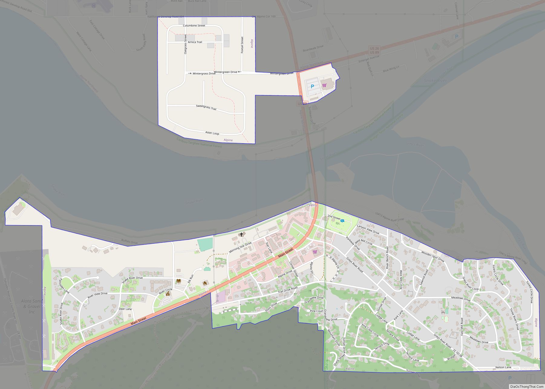
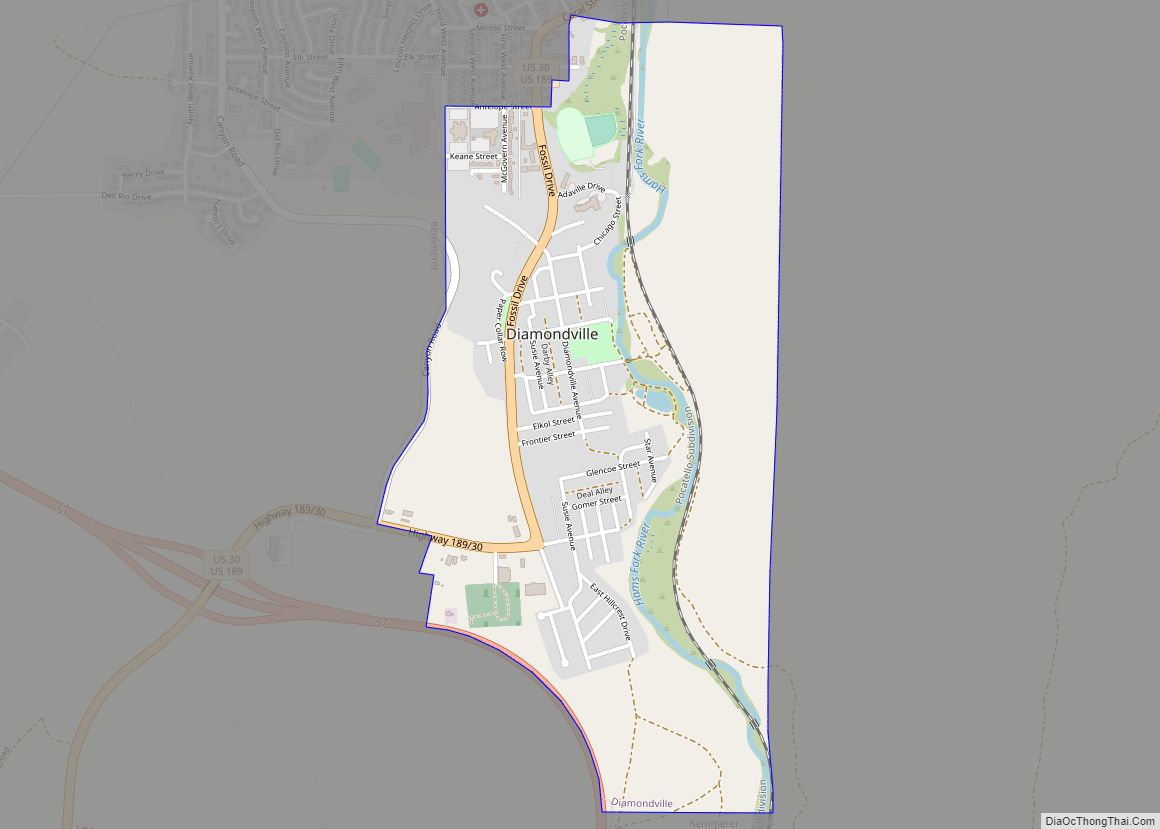
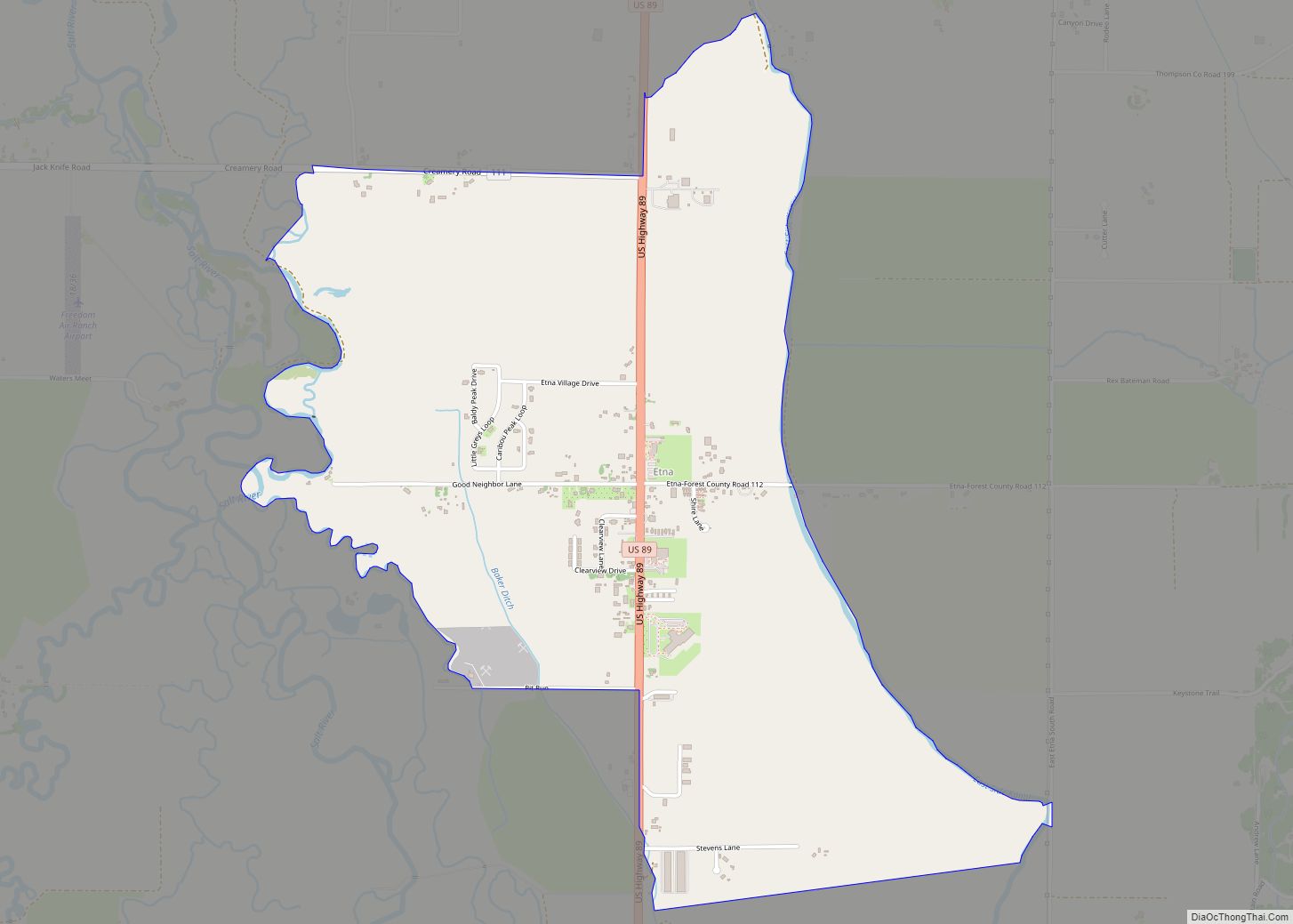
Online Interactive Map
Click on ![]() to view map in "full screen" mode.
to view map in "full screen" mode.
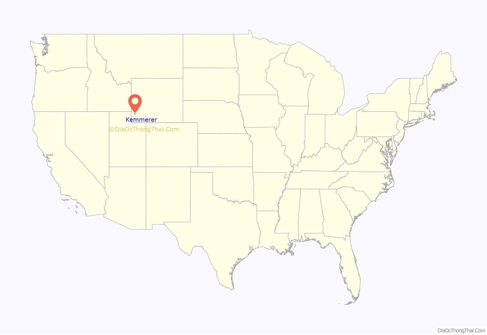
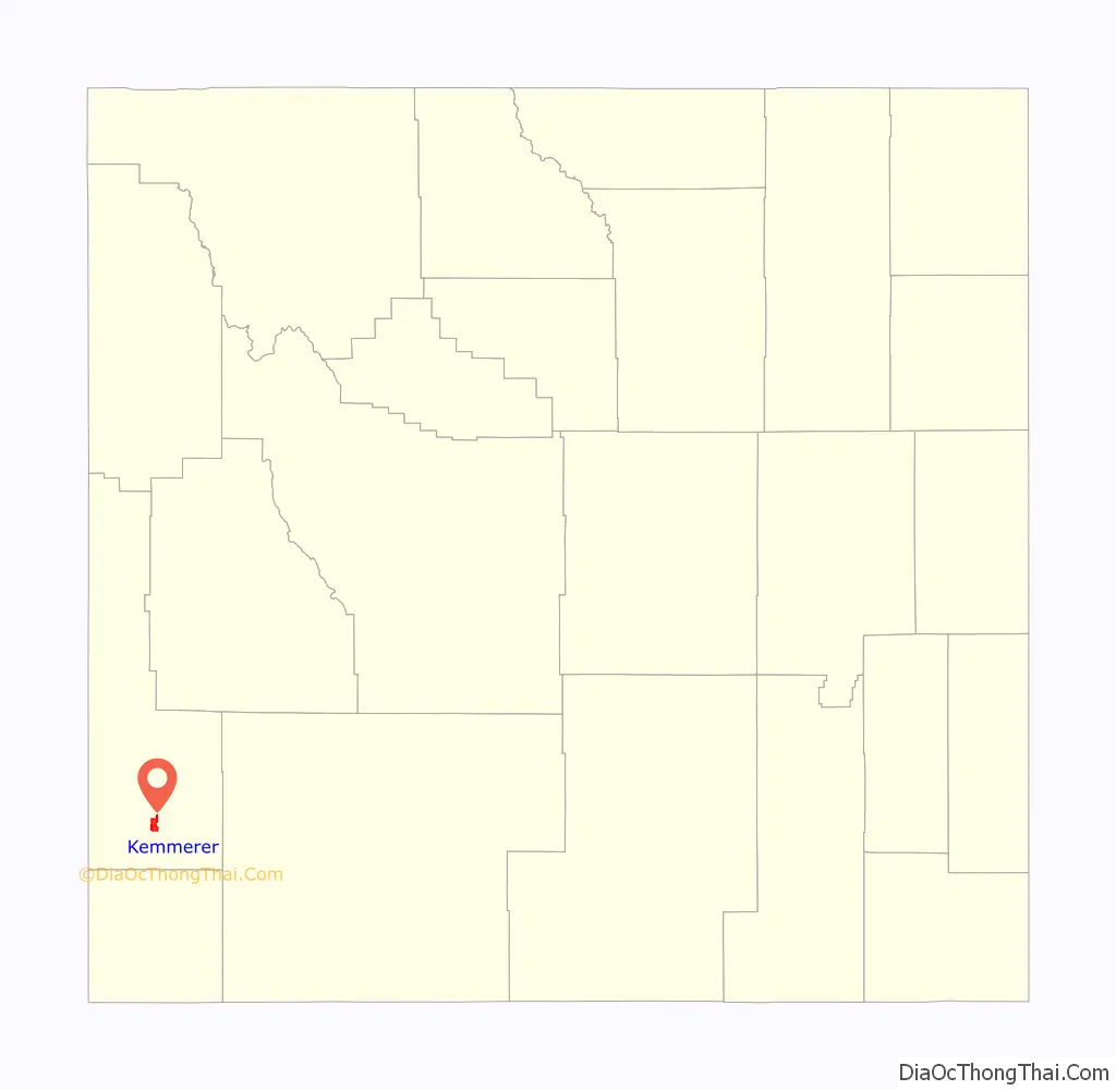
Kemmerer location map. Where is Kemmerer city?
History
Explorer John C. Frémont discovered coal in the area during his second expedition in 1843. The Union Pacific Coal Company opened the first underground mine in 1881 after construction of the Oregon Short Line Railroad from Granger to Oregon.
Patrick J. Quealy (1857–1930) founded Kemmerer as an “independent town” in 1897 when he was vice-president of the Kemmerer Coal Company, located 6 miles (9.7 km) south of the original townsite. He named the company and town after his financial backer, Pennsylvania coal magnate Mahlon S. Kemmerer (1843–1925). In 1950, the operation converted to strip mining and became the world’s largest open pit coal mine. In 1980 the Kemmerer Coal Co. was sold to the Pittsburg & Midway Coal Company, now a subsidiary of the Westmorland Coal Company. The pit remains in operation with an annual output of about 5 million tons.
Quealy sold lots in the townsite rather than lease them, which permitted the establishment of independent businesses. The company’s subsidiary, Frontier Supply Company, provided electricity by utilizing a used $1,150 generator acquired in Utah. Quealy immigrated from Ireland. In Wyoming, he and his wife became active in Democratic Party politics and in St. Patrick’s Church, for which the company donated land.
Quealy was the founding president of the First National Bank, established in 1900. Kemmerer Savings Bank was founded in 1909. Its president Asbury D. Hoskins was manager of the Blyth-Fargo-Hoskins Company, and was elected Wyoming state treasurer in 1919.
The J. C. Penney company store was founded in Kemmerer in 1902.
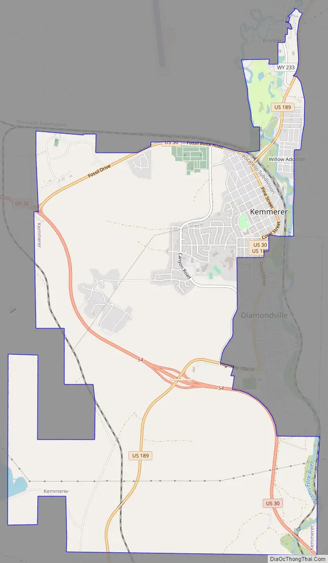
Kemmerer Road Map
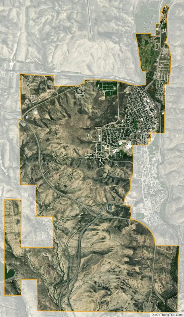
Kemmerer city Satellite Map
Geography
According to the United States Census Bureau, the city has a total area of 7.81 square miles (20.23 km), of which 7.80 square miles (20.20 km) is land and 0.01 square miles (0.03 km) is water.
The Fossil Butte National Monument is located 15 miles west of Kemmerer, on U.S. Highway 30.
Climate
According to the Köppen Climate Classification system, Kemmerer has a warm-summer humid continental climate, abbreviated “Dfb” on climate maps. The hottest temperature recorded in Kemmerer was 99 °F (37 °C) on July 12, 1990, while the coldest temperature recorded was −39 °F (−39 °C) on December 22, 1990.
See also
Map of Wyoming State and its subdivision: Map of other states:- Alabama
- Alaska
- Arizona
- Arkansas
- California
- Colorado
- Connecticut
- Delaware
- District of Columbia
- Florida
- Georgia
- Hawaii
- Idaho
- Illinois
- Indiana
- Iowa
- Kansas
- Kentucky
- Louisiana
- Maine
- Maryland
- Massachusetts
- Michigan
- Minnesota
- Mississippi
- Missouri
- Montana
- Nebraska
- Nevada
- New Hampshire
- New Jersey
- New Mexico
- New York
- North Carolina
- North Dakota
- Ohio
- Oklahoma
- Oregon
- Pennsylvania
- Rhode Island
- South Carolina
- South Dakota
- Tennessee
- Texas
- Utah
- Vermont
- Virginia
- Washington
- West Virginia
- Wisconsin
- Wyoming