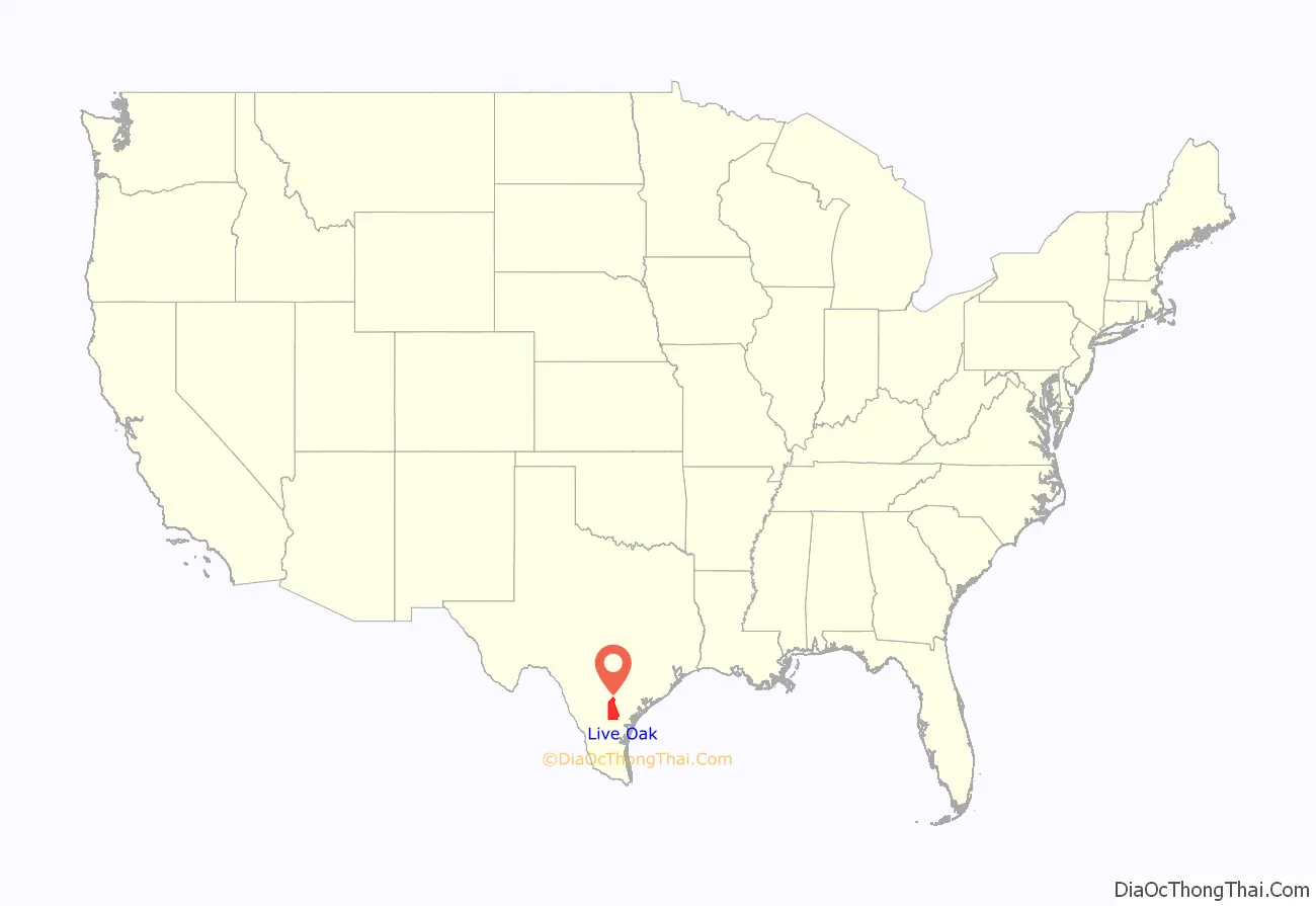
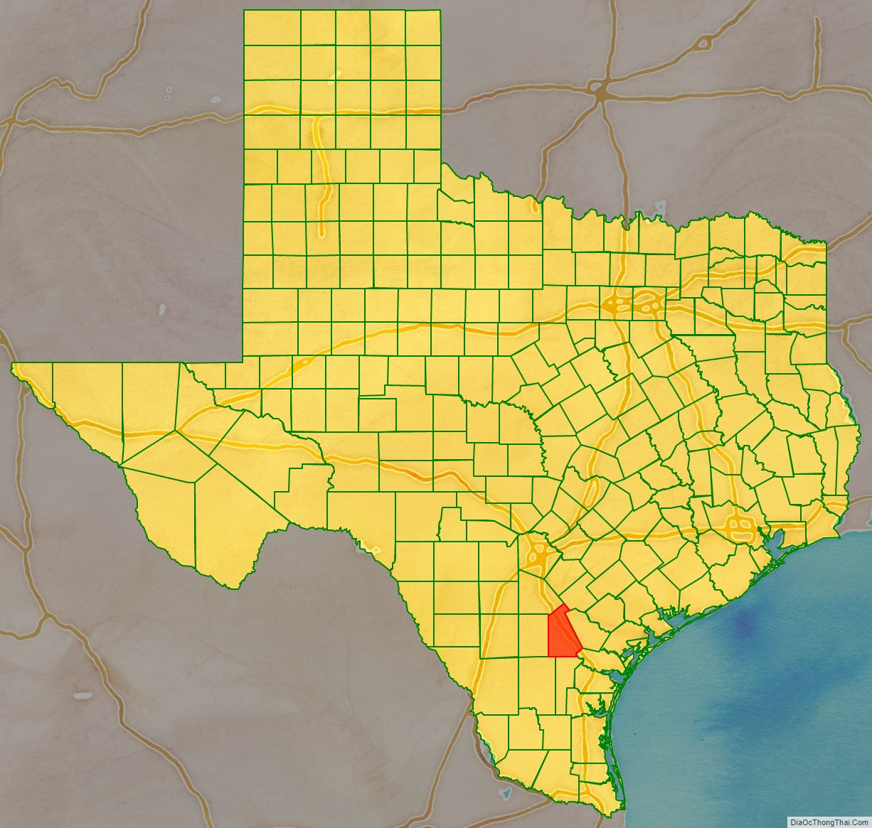
Live Oak County is a county in the U.S. state of Texas. It was named for its native groves of live oak. George West is its county seat. Its population was 11,335 in the 2020 census.
| Name: | Live Oak County |
|---|---|
| FIPS code: | 48-297 |
| State: | Texas |
| Founded: | 1856 |
| Named for: | Groves of live oak |
| Seat: | George West |
| Largest city: | George West |
| Total Area: | 1,079 sq mi (2,790 km²) |
| Land Area: | 1,040 sq mi (2,700 km²) |
| Total Population: | 11,335 |
| Population Density: | 11/sq mi (4/km²) |
| Time zone: | UTC−6 (Central) |
| Summer Time Zone (DST): | UTC−5 (CDT) |
| Website: | www.co.live-oak.tx.us |
Live Oak County location map. Where is Live Oak County?
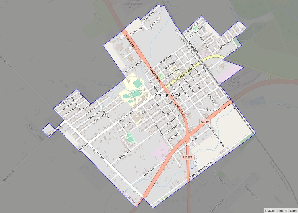
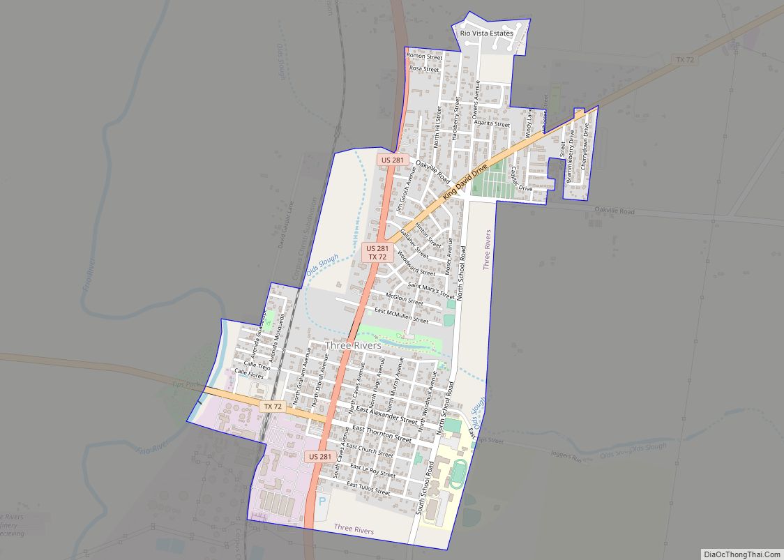
Live Oak County Road Map
Geography
According to the U.S. Census Bureau, the county has a total area of 1,079 square miles (2,790 km), of which 1,040 square miles (2,700 km) is land and 39 square miles (100 km) (3.6%) is water. It is home to the Choke Canyon Reservoir.
Major highways
- Interstate 37
- U.S. Highway 59
- Interstate 69W is currently under construction and will follow the current route of U.S. 59 in most places.
- U.S. Highway 281
- Interstate 69C is currently under construction and will follow the current route of U.S. 281 in most places south of George West.
- SH 72
- FM 99
- FM 624
- FM 799
- FM 833
Adjacent counties
- Karnes County (northeast)
- Bee County (east)
- San Patricio County (southeast)
- Jim Wells County (south)
- Duval County (southwest)
- McMullen County (west)
- Atascosa County (northwest)


