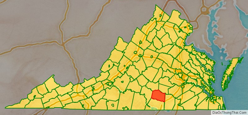
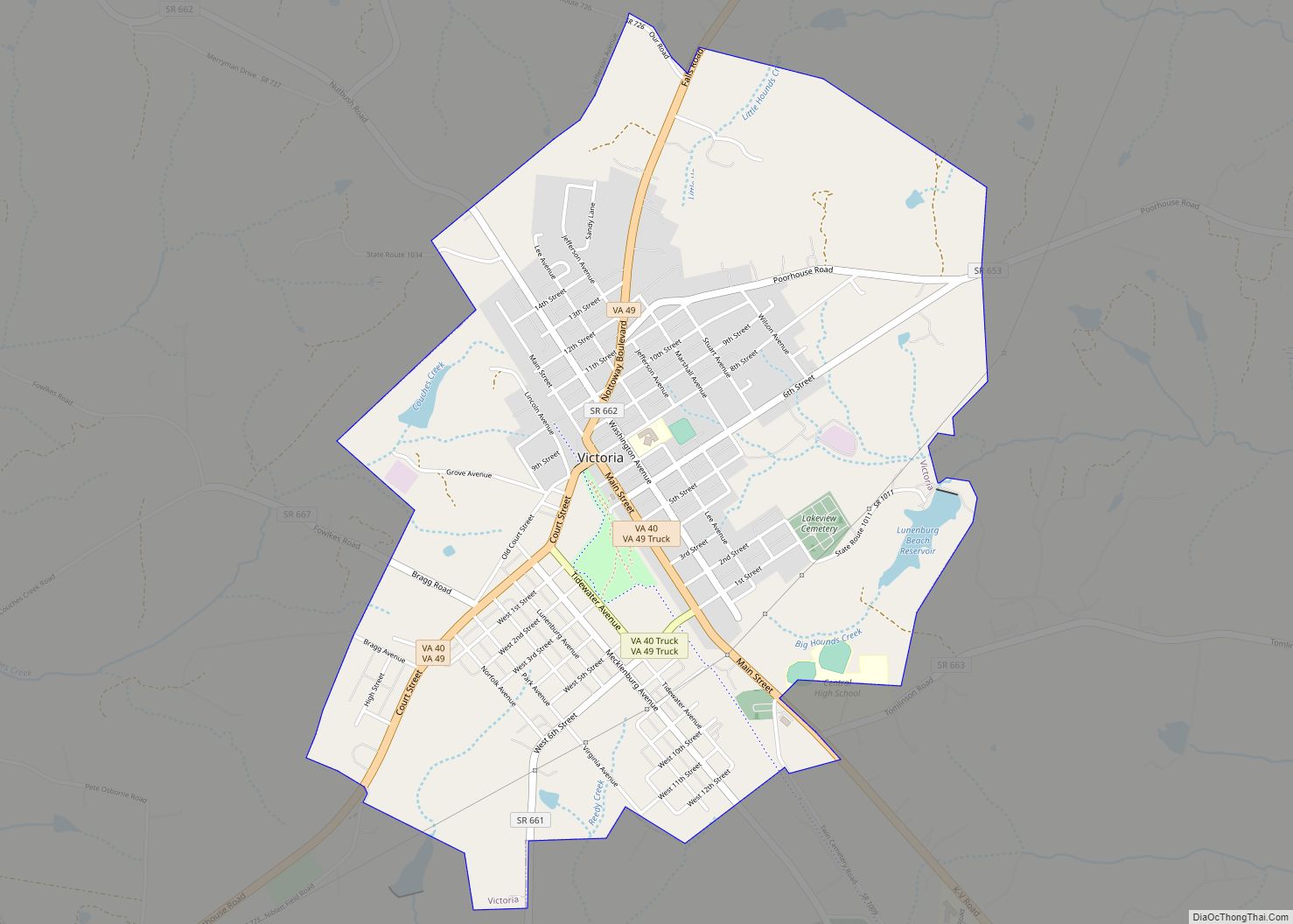
Lunenburg County is a county located in the Commonwealth of Virginia. As of the 2020 census, the population was 11,936. Its county seat is Lunenburg.
| Name: | Lunenburg County |
|---|---|
| FIPS code: | 51-111 |
| State: | Virginia |
| Founded: | 1746 |
| Named for: | Brunswick-Lüneburg |
| Seat: | Lunenburg |
| Largest town: | Victoria |
| Total Area: | 432 sq mi (1,120 km²) |
| Land Area: | 432 sq mi (1,120 km²) |
| Total Population: | 11,936 |
| Population Density: | 28/sq mi (11/km²) |
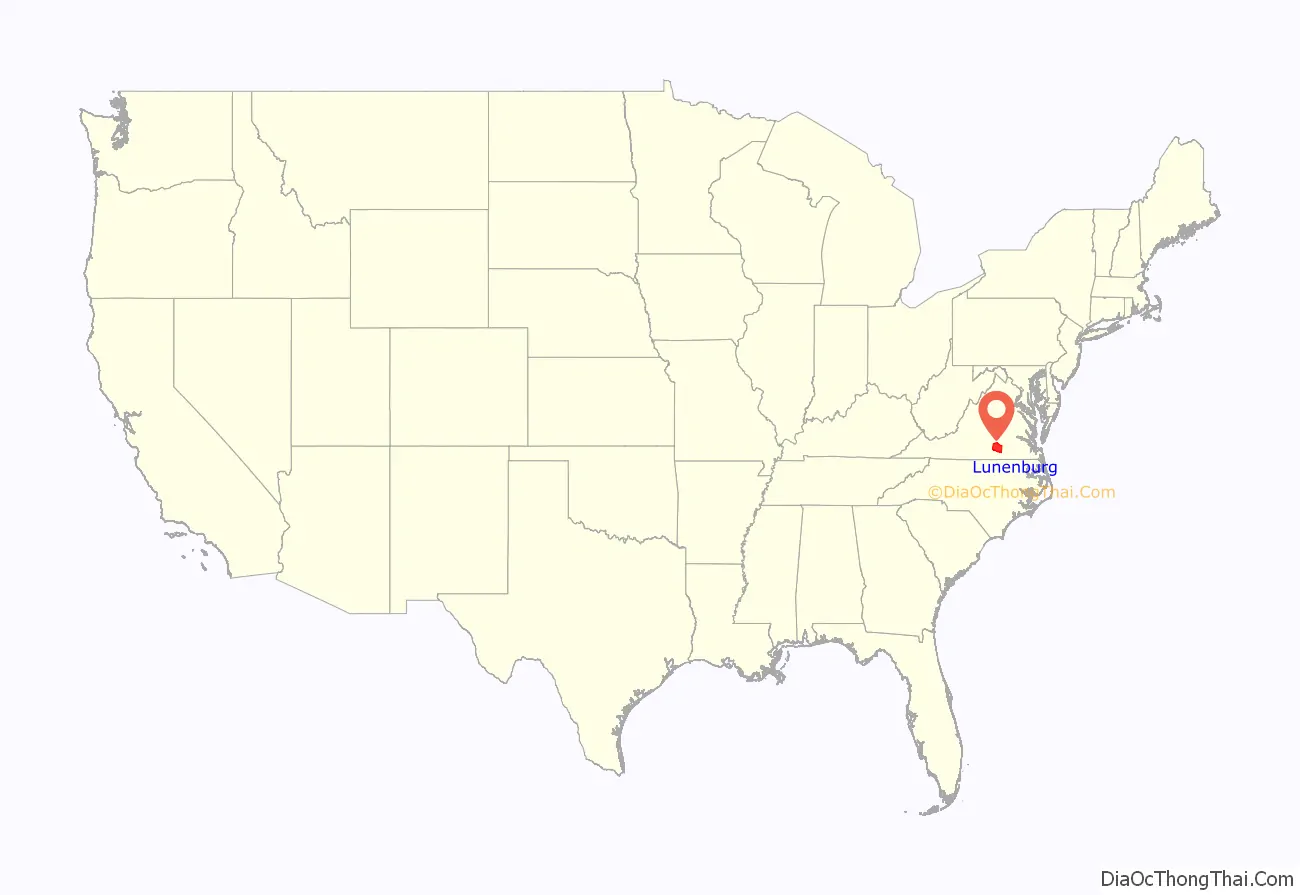
Lunenburg County location map. Where is Lunenburg County?
History
Lunenburg County was established on May 1, 1746, from Brunswick County. The county is named for the former Duchy of Brunswick-Lünenburg in Germany, because one of the titles also carried by Britain’s Hanoverian kings was Duke of Brunswick-Lünenburg. Bedford, Charlotte, Halifax, and Mecklenburg Counties were later formed from Lunenburg County. It is nicknamed “The Old Free State” because during the buildup of the Civil War, it let Virginia know the county would break off if the state did not join The Confederacy.
Among the earliest settlers of the county was William Taylor, born in King William County, Virginia. He was the son of Rev. Daniel Taylor, a Virginia native and Anglican priest educated at Trinity College, Cambridge University in England, and his wife Alice (Littlepage) Taylor. William Taylor married Martha Waller, a daughter of Benjamin Waller of Williamsburg, Virginia.
In 1760 Taylor purchased three adjoining tracts of land in Lunenburg County totaling 827 acres (3.35 km). Taylor soon became one of the county’s leading citizens, representing Lunenburg in the Virginia House of Burgesses from 1765 until 1768. In that capacity, Taylor voted in 1765 to support statesman Patrick Henry’s Virginia Resolves in 1765. Taylor served as County Clerk for 51 years (1763–1814).
Taylor was succeeded as County Clerk by his son William Henry Taylor, who held the office for another 32 years—from 1814 until 1846. Another son, General Waller Taylor, represented Lunenburg in the Virginia legislature, then moved to Vincennes, Indiana. There he became a judge and subsequently Adjutant General of the United States Army under General William Henry Harrison in the War of 1812. General Waller Taylor later served as one of the first United States senators from the newly created state of Indiana from 1816 to 1825. He died on a visit home to see his relatives in Lunenburg County in 1826.
During much of the American Civil War, the family of Missionary Bishop Henry C. Lay lived in Lunenberg County, where Mrs. Lay (the former Eliza Withers Atkinson) grew up. Both of Bishop Lay’s brothers served as Confederate colonels, and Mrs. Lay’s uncle, Thomas Atkinson was bishop of North Carolina.
Cases surrounding an 1895 Lunenburg County murder are the subject of historian Suzanne Lebsock’s book, A Murder in Virginia: Southern Justice on Trial.
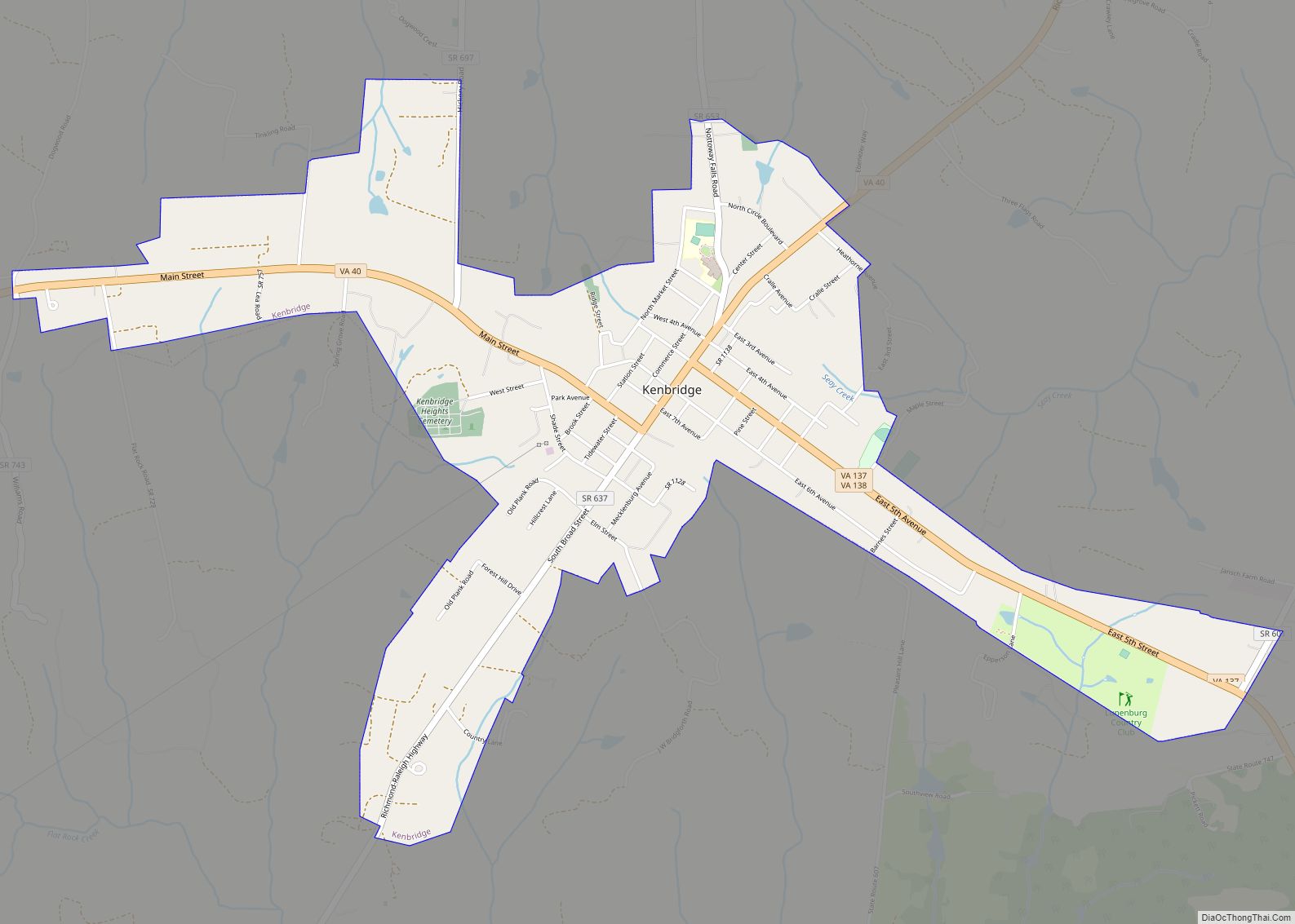
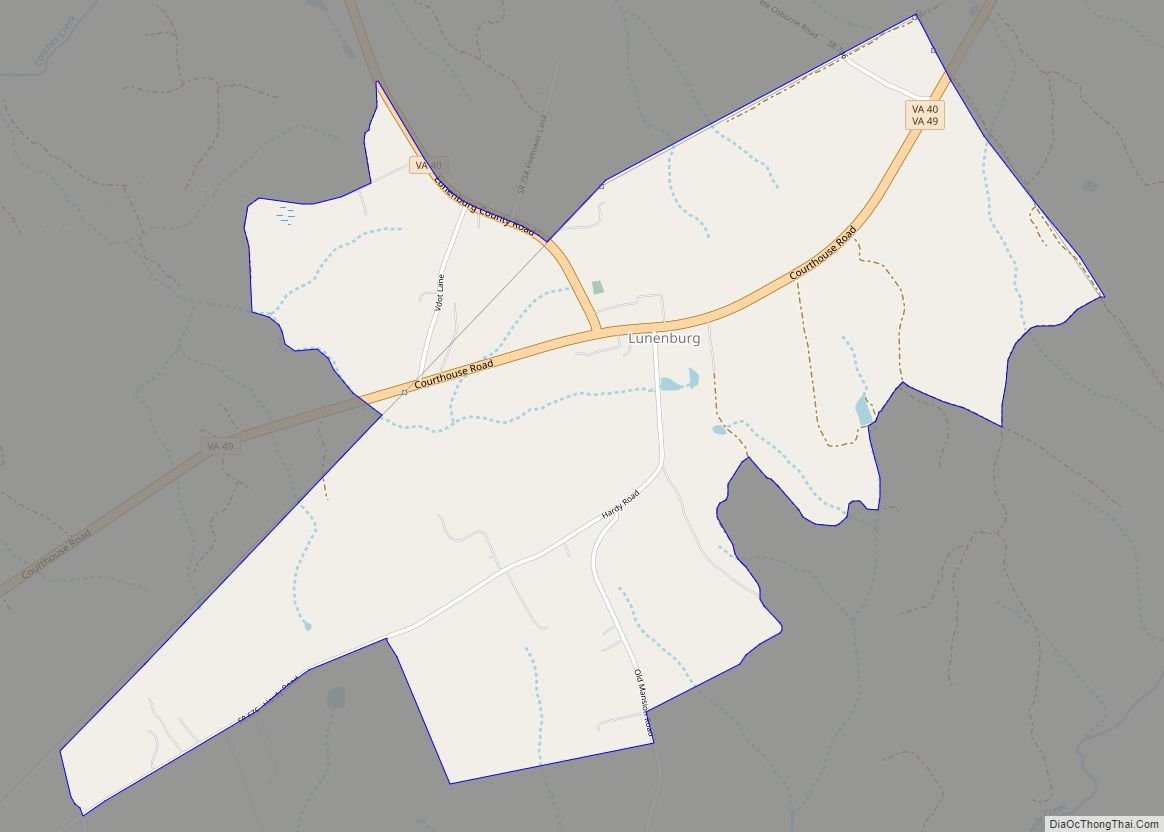
Lunenburg County Road Map
Geography
According to the U.S. Census Bureau, the county has a total area of 432 square miles (1,120 km), of which 432 square miles (1,118 km) is land and 1 square mile (2 km) (0.16%) is water.
Adjacent counties
- Brunswick County (east)
- Charlotte County (west)
- Mecklenburg County (south)
- Nottoway County (northeast)
- Prince Edward County (north)
Major Highways
- US 360 (Eastbound Only – Three-Sixty Hwy)
- SR 40 (Lunenburg County Rd; joins SR 49 and becomes Courthouse Rd; Court St and Main St in Victoria; K-V Rd; Main St and S Broad St in Kenbridge, Blackstone Rd)
- SR 49 (Falls Rd; joins SR 40 in Victoria and becomes Main St; Courthouse Rd
- SR 137 (E 5th Ave; S Hill Rd; Dundas Rd)
- SR 138 (E 5th Ave; S Hill Rd)
