Brunswick County is a United States county located on the southern border of the Commonwealth of Virginia. This rural county is known as one of the claimants to be the namesake of Brunswick stew. Brunswick County was created in 1720 from parts of Prince George, Surry and Isle of Wight counties. The county was named for the former Duchy of Brunswick-Lunenburg, which was a British possession in the 18th century. As of the 2020 census, the county population was 15,849. The Brunswick county seat is Lawrenceville.
| Name: | Brunswick County |
|---|---|
| FIPS code: | 51-025 |
| State: | Virginia |
| Founded: | 1720 |
| Named for: | Duchy of Brunswick-Lunenburg |
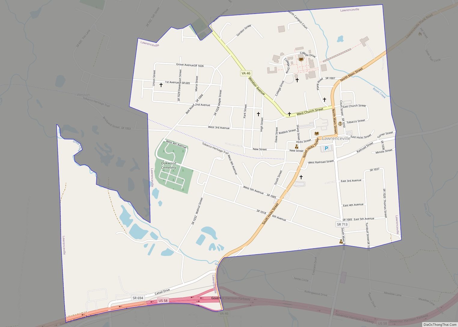
| Seat: | Lawrenceville |
| Largest town: | Lawrenceville |
| Total Area: | 569 sq mi (1,470 km²) |
| Land Area: | 566 sq mi (1,470 km²) |
| Total Population: | 15,849 |
| Population Density: | 28/sq mi (11/km²) |
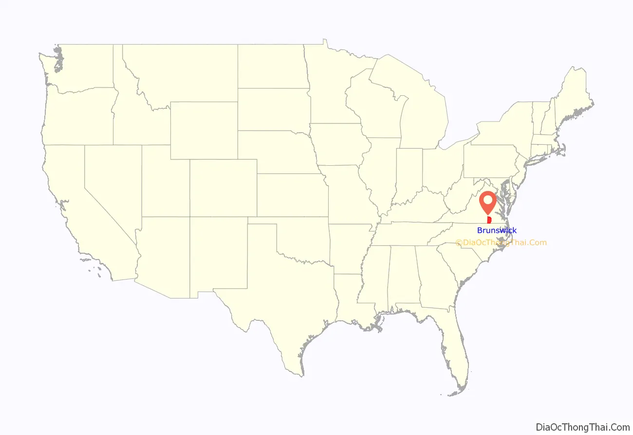
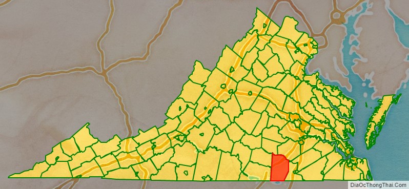
Brunswick County location map. Where is Brunswick County?
History
The first English settlers, in what was to become Brunswick County, swarmed into the relatively protected lands near Fort Christanna during its 4 years of operation (1714–1718). Among them were indentured servants, including men deported from Scotland in 1716 after being convicted by the Crown in the Jacobite rising of 1715. They were required to work under indenture to pay the Crown back for their ship passage. Gradually the colonists pushed many of the Native Americans out of the area.
An example of such a Scots rebel who started in the colony as a convict was James Pittillo. He survived his indenture and in 1726 was granted 242 acres (1.0 km) on Wagua Creek. He gradually became a major landowner in the area. He was appointed as a tobacco inspector in Bristol Parish in 1728 and that year served with William Byrd II on his spring and fall expeditions to survey the border between Virginia and North Carolina. Taking advantage of land grants due to headrights, for people whose passage he paid to the colony, and outright purchases, Pittillo ultimately owned more than 4,000 acres (16 km) in the area of Prince George County, Brunswick, and Dinwiddie counties in Southside Virginia.
Brunswick County was established in 1720 from Prince George County. The county is named for the former Duchy of Brunswick-Lunenburg in Germany. One of the titles carried by Britain’s Hanoverian kings was Duke of Brunswick-Lunenburg. In 1732 the county received more land from parts of Surry and Isle of Wight counties. Brunswick County reached the Blue Ridge Mountains until 1745, when increasing population in the region resulted in the formation of a series of new counties, and Brunswick’s current western border was established.
In 1780, during the American Revolutionary War, Greensville County was formed from part of Brunswick’s eastern side. In 1787 the county’s eastern border was finalized with a minor adjustment.
Today Brunswick County is bisected by Interstate 85, U.S. 1 and U.S. Highway 58. Planters originally cultivated the land for tobacco by slave labor in colonial times. As tobacco exhausted the soil and the markets changed, planters and smaller farmers diversified the mostly rural economy by raising mixed crops and harvesting lumber before the American Civil War. As a result of these changes, slaveholders in the Upper South had surplus slaves; many sold them in the domestic slave trade. It fed the development of cotton plantations in the Deep South. Altogether, more than one million enslaved African Americans were sold South in the antebellum years in this forced migration, which broke up many families.
Saint Paul’s College, Virginia was established in this county in association with the Episcopal Church. In 1914 the school boasted that “The location of the school in the heart of the Black Belt of Virginia, with a Negro population of 100,000 almost at its very doors, is most favorable for the prosecution of uplift work.” St. Paul’s closed its doors in 2013.
In the early 21st century, the county has a campus of Southside Virginia Community College. The Fort Pickett Army National Guard base is partly in the county.
Brunswick County Road Map
Geography
According to the U.S. Census Bureau, the county has a total area of 569 square miles (1,470 km), of which 566 square miles (1,470 km) is land and 3.2 square miles (8.3 km) (0.6%) is water.
Adjacent counties
- Mecklenburg County – west
- Lunenburg County – west
- Nottoway County – northwest
- Dinwiddie County – north
- Greensville County – east
- Northampton County, North Carolina – south
Major highways
- I-85
- US 1
- US 58
- SR 46
- SR 136
- SR 137
- SR 378
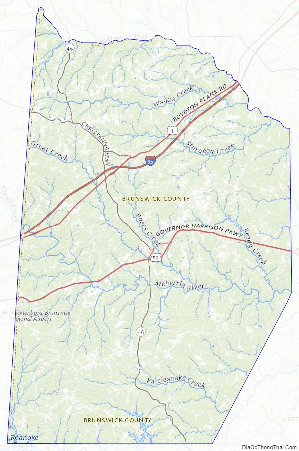
Brunswick County Topographic Map
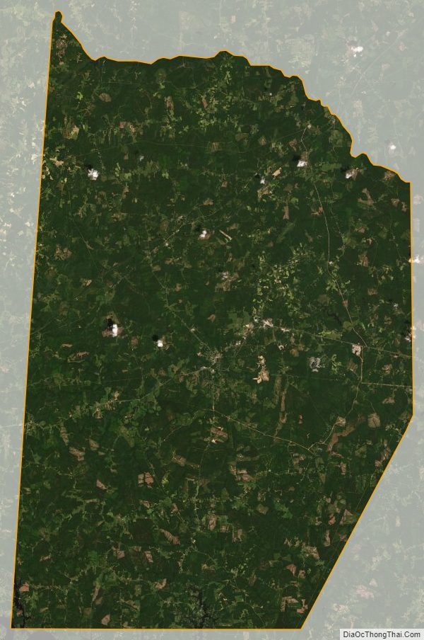
Brunswick County Satellite Map
Brunswick County Outline Map