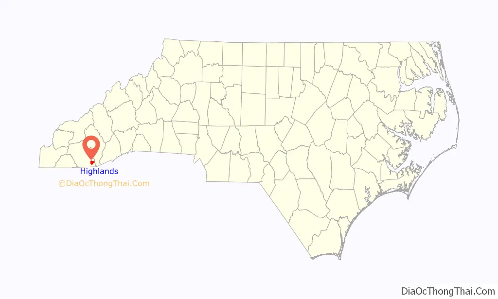
Highlands is an incorporated town in Macon County in the U.S. state of North Carolina. Located on a plateau in the southern Appalachian Mountains, within the Nantahala National Forest, it lies mostly in southeastern Macon County and slightly in southwestern Jackson County, in the Highlands and Cashiers Townships, respectively. The permanent population was 1,014 at the 2020 census.
| Name: | Highlands town |
|---|---|
| LSAD Code: | 43 |
| LSAD Description: | town (suffix) |
| State: | North Carolina |
| County: | Jackson County, Macon County |
| Elevation: | 4,118 ft (1,255 m) |
| Total Area: | 6.39 sq mi (16.55 km²) |
| Land Area: | 6.25 sq mi (16.18 km²) |
| Water Area: | 0.14 sq mi (0.37 km²) |
| Total Population: | 1,072 |
| Population Density: | 171.55/sq mi (66.24/km²) |
| ZIP code: | 28741 |
| Area code: | 828 |
| FIPS code: | 3731360 |
| GNISfeature ID: | 1012061 |
| Website: | https://www.highlandsnc.org/ |
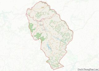
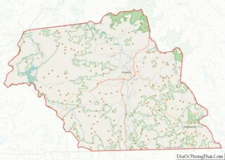
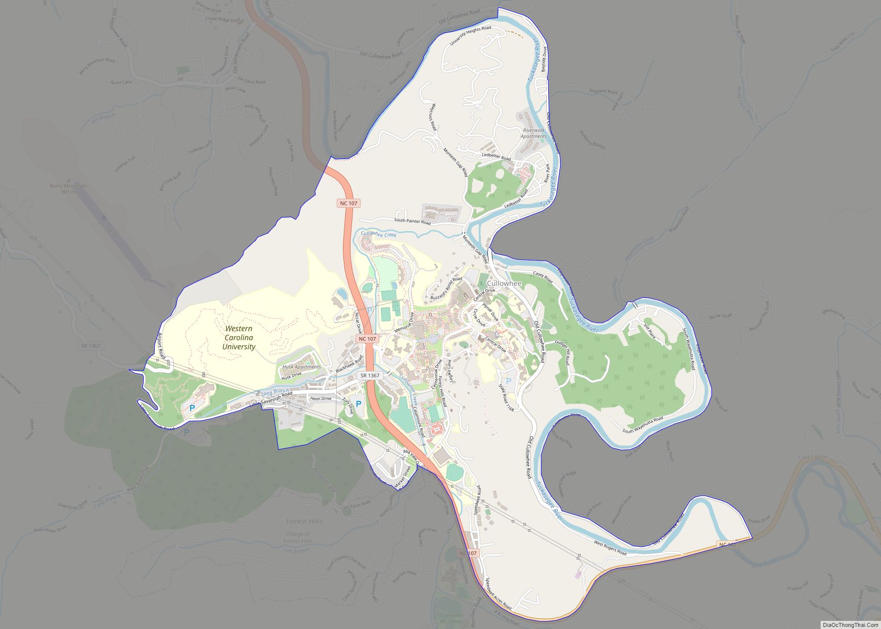
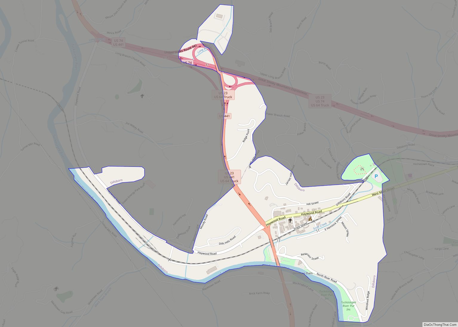
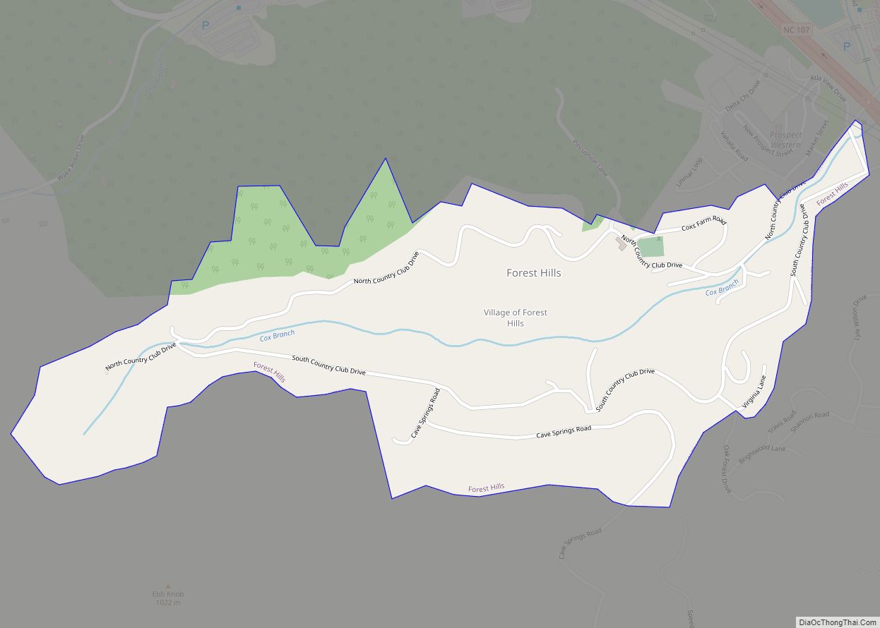
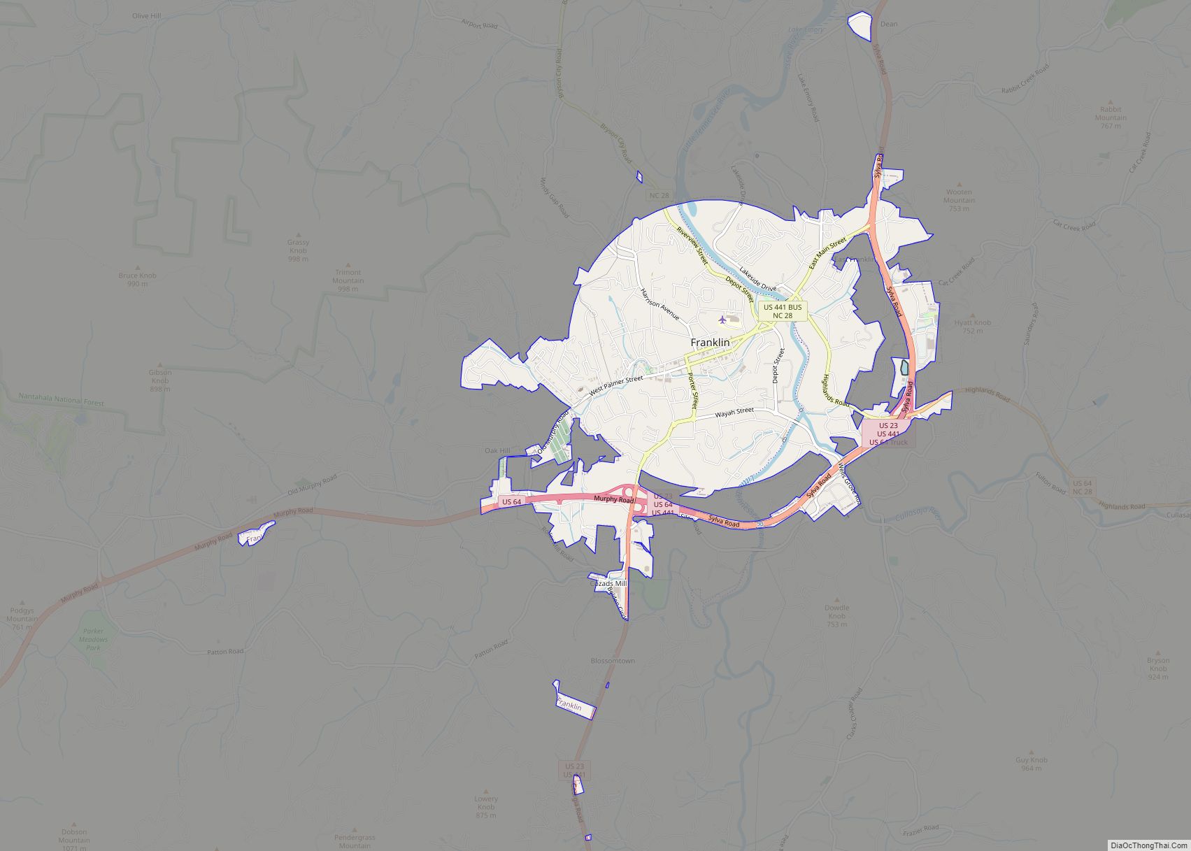
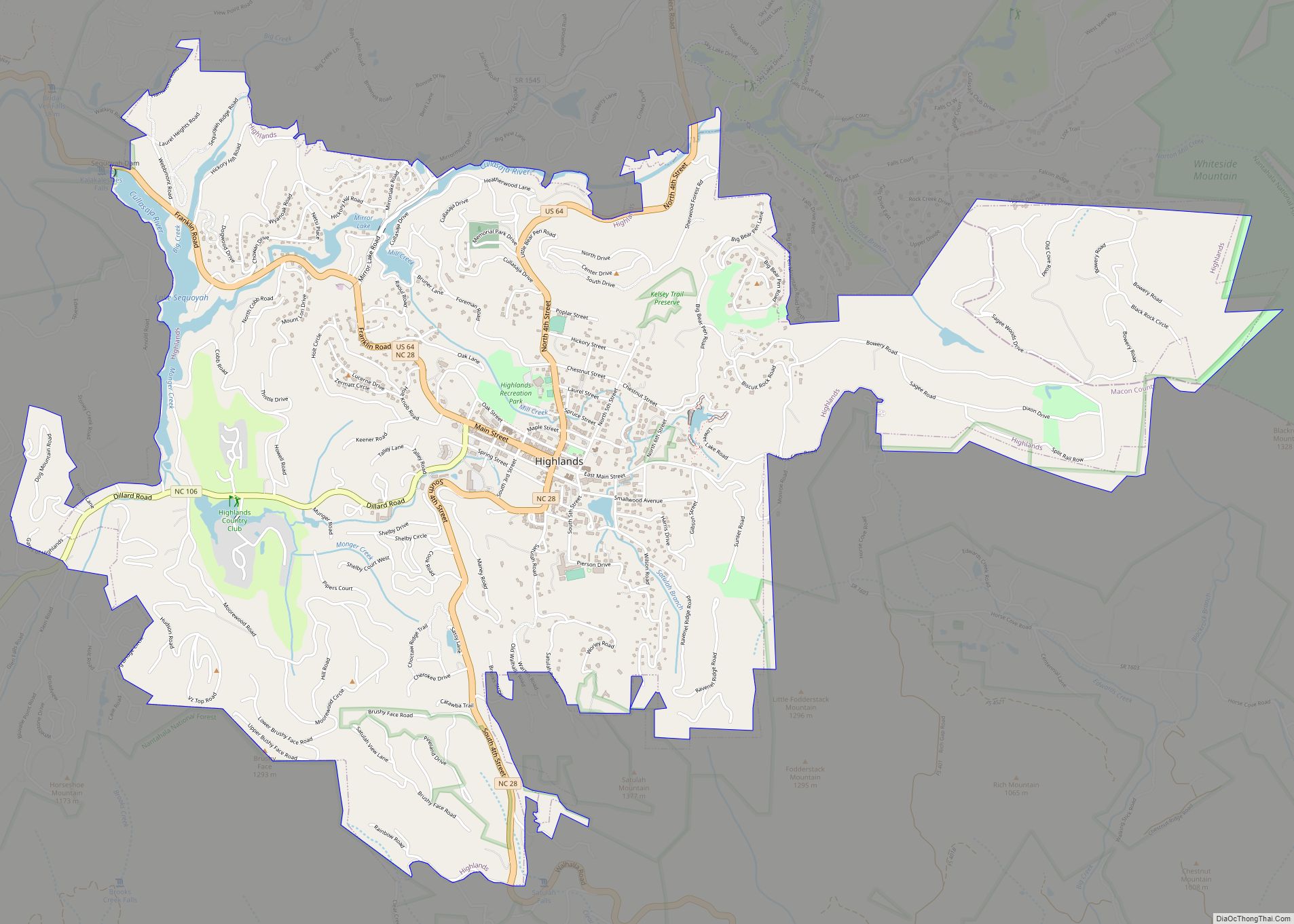
Online Interactive Map
Click on ![]() to view map in "full screen" mode.
to view map in "full screen" mode.
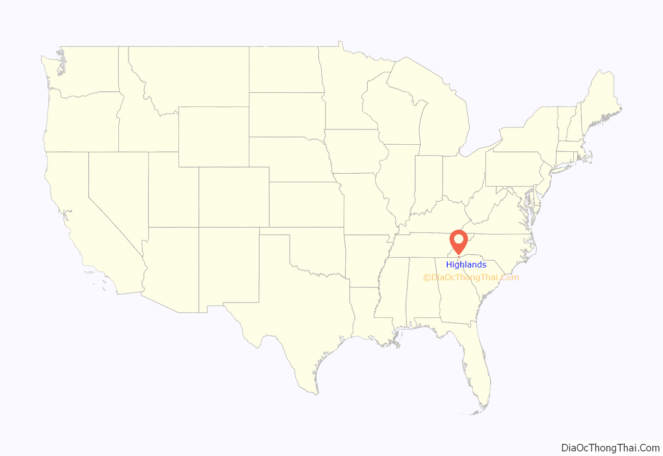
Highlands location map. Where is Highlands town?
History
Highlands was founded in 1875 after its two founders, Samuel Truman Kelsey and Clinton Carter Hutchinson, drew lines from Chicago to Savannah and from New Orleans to New York City. They felt that the place where these lines met would eventually become a great trading center and commercial crossroads. Highlands was named for its lofty elevation.
In the 1930s the town became a golfing mecca when Bobby Jones of Atlanta and some of his well-heeled golfing buddies founded the Highlands Country Club. Today that club is one of seven successful residential country club communities in the area. The Highlands Country Club is south of Highlands on Dillard Road (North Carolina Highway 106).
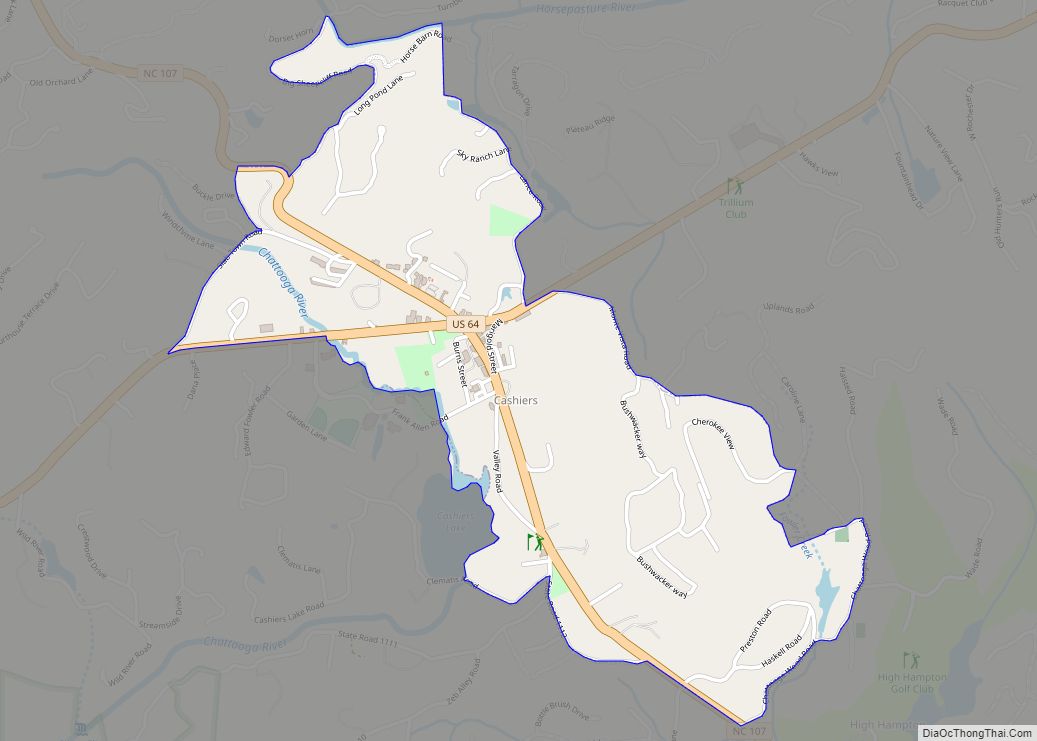
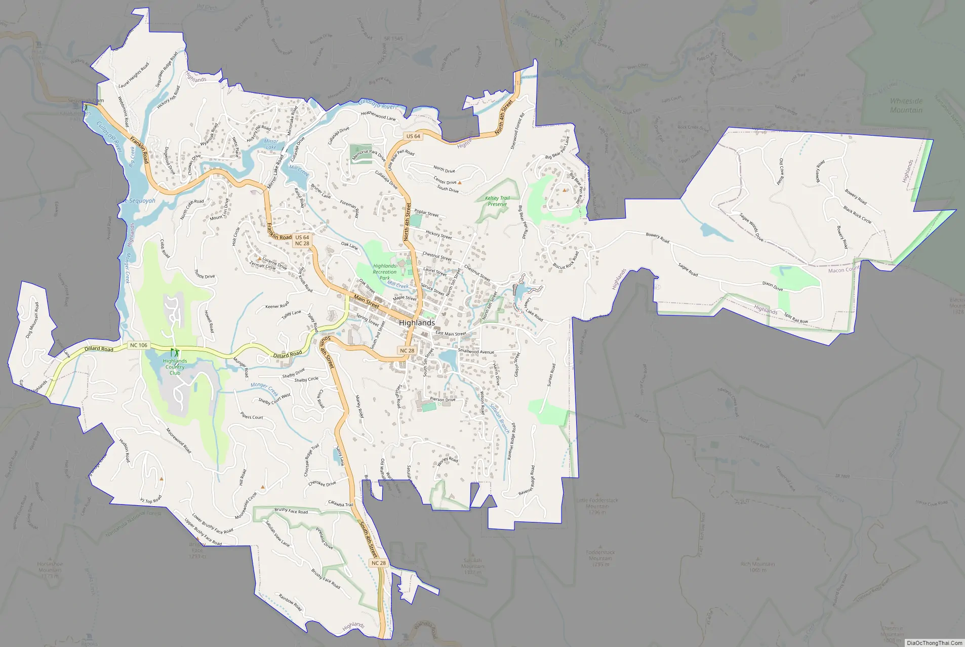
Highlands Road Map
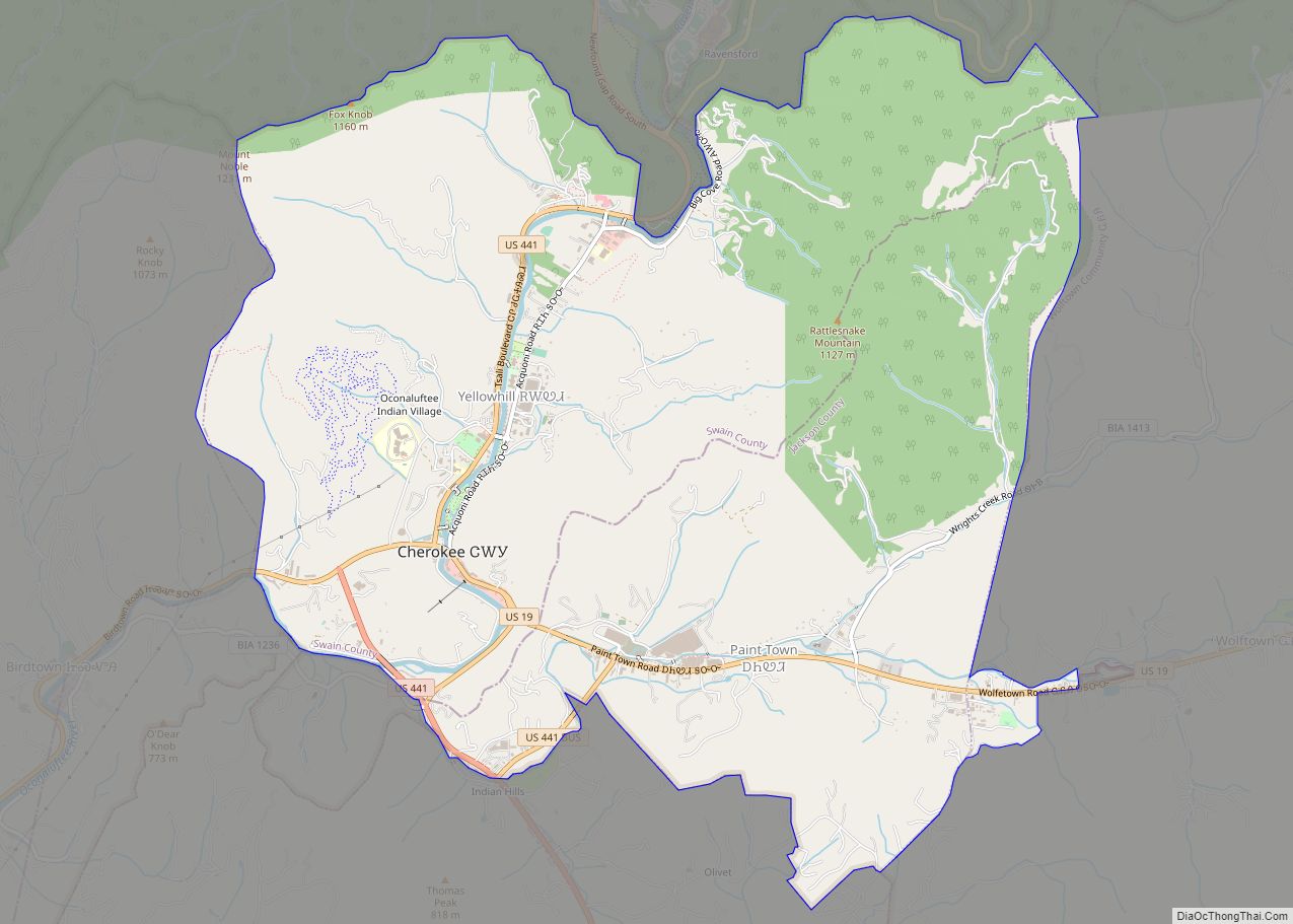
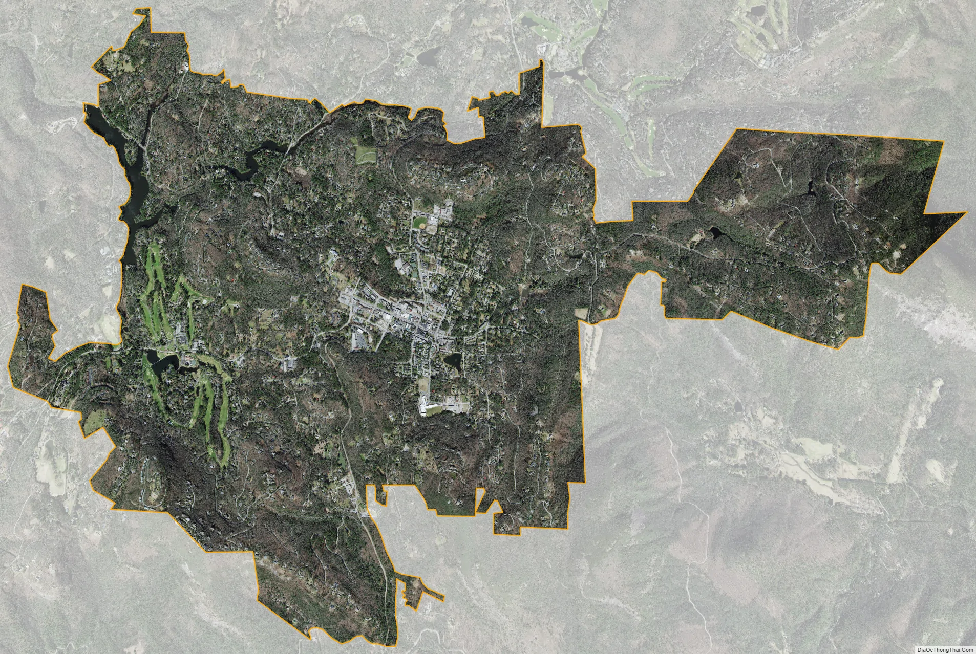
Highlands city Satellite Map
Geography
Highlands is located at 35°3′15″N 83°12′8″W / 35.05417°N 83.20222°W / 35.05417; -83.20222 (35.054129, -83.202351).
According to the United States Census Bureau, the community has a total area of 6.2 square miles (16 km), of which 6.1 square miles (16 km) is land and 0.1 square miles (0.26 km), or 1.94%, is water.
The official average elevation within town limits is 4,118 ft (1,255 m), making it one of the highest incorporated municipalities east of the Mississippi River, and the highest not developed as a resort community – the only other communities laying higher, Sugar Mountain, NC, Wolf Laurel, NC, Snowshoe, WV, and Beech Mountain, NC were all created as resorts. The annual rainfall approaches 100 inches (2,500 mm) due to the orographic lifting effect of storms coming from the lower elevations. This rainfall, coupled with abundant sunshine, creates a lush and verdant microclimate that appeals to botanists.
See also
Map of North Carolina State and its subdivision:- Alamance
- Alexander
- Alleghany
- Anson
- Ashe
- Avery
- Beaufort
- Bertie
- Bladen
- Brunswick
- Buncombe
- Burke
- Cabarrus
- Caldwell
- Camden
- Carteret
- Caswell
- Catawba
- Chatham
- Cherokee
- Chowan
- Clay
- Cleveland
- Columbus
- Craven
- Cumberland
- Currituck
- Dare
- Davidson
- Davie
- Duplin
- Durham
- Edgecombe
- Forsyth
- Franklin
- Gaston
- Gates
- Graham
- Granville
- Greene
- Guilford
- Halifax
- Harnett
- Haywood
- Henderson
- Hertford
- Hoke
- Hyde
- Iredell
- Jackson
- Johnston
- Jones
- Lee
- Lenoir
- Lincoln
- Macon
- Madison
- Martin
- McDowell
- Mecklenburg
- Mitchell
- Montgomery
- Moore
- Nash
- New Hanover
- Northampton
- Onslow
- Orange
- Pamlico
- Pasquotank
- Pender
- Perquimans
- Person
- Pitt
- Polk
- Randolph
- Richmond
- Robeson
- Rockingham
- Rowan
- Rutherford
- Sampson
- Scotland
- Stanly
- Stokes
- Surry
- Swain
- Transylvania
- Tyrrell
- Union
- Vance
- Wake
- Warren
- Washington
- Watauga
- Wayne
- Wilkes
- Wilson
- Yadkin
- Yancey
- Alabama
- Alaska
- Arizona
- Arkansas
- California
- Colorado
- Connecticut
- Delaware
- District of Columbia
- Florida
- Georgia
- Hawaii
- Idaho
- Illinois
- Indiana
- Iowa
- Kansas
- Kentucky
- Louisiana
- Maine
- Maryland
- Massachusetts
- Michigan
- Minnesota
- Mississippi
- Missouri
- Montana
- Nebraska
- Nevada
- New Hampshire
- New Jersey
- New Mexico
- New York
- North Carolina
- North Dakota
- Ohio
- Oklahoma
- Oregon
- Pennsylvania
- Rhode Island
- South Carolina
- South Dakota
- Tennessee
- Texas
- Utah
- Vermont
- Virginia
- Washington
- West Virginia
- Wisconsin
- Wyoming