Franklin is a town in and the county seat of Macon County, North Carolina, United States. It is situated within the Nantahala National Forest. The population was reported to be 4,175 in the 2020 census, an increase from the total of 3,845 tabulated in 2010.
The town developed around a 1,000-year old platform mound, the center of the historic Cherokee town of Nikwasi.
Franklin is a popular destination for hikers and outdoor enthusiasts, specifically in relation to the Nantahala National Forest, the Great Smoky Mountains, and the Appalachian Trail. The town and the surrounding area is rich in gems and minerals, and is known locally as the “Gem Capital of The World.”
| Name: | Franklin town |
|---|---|
| LSAD Code: | 43 |
| LSAD Description: | town (suffix) |
| State: | North Carolina |
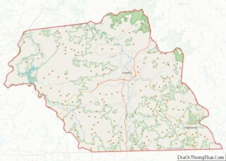
| County: | Macon County |
| Elevation: | 2,119 ft (646 m) |
| Total Area: | 4.99 sq mi (12.92 km²) |
| Land Area: | 4.90 sq mi (12.68 km²) |
| Water Area: | 0.09 sq mi (0.23 km²) |
| Total Population: | 4,175 |
| Population Density: | 852.56/sq mi (329.18/km²) |
| ZIP code: | 28734, 28744 |
| Area code: | 828 |
| FIPS code: | 3724640 |
| GNISfeature ID: | 1011373 |
| Website: | www.franklinnc.com |
Online Interactive Map
Click on ![]() to view map in "full screen" mode.
to view map in "full screen" mode.
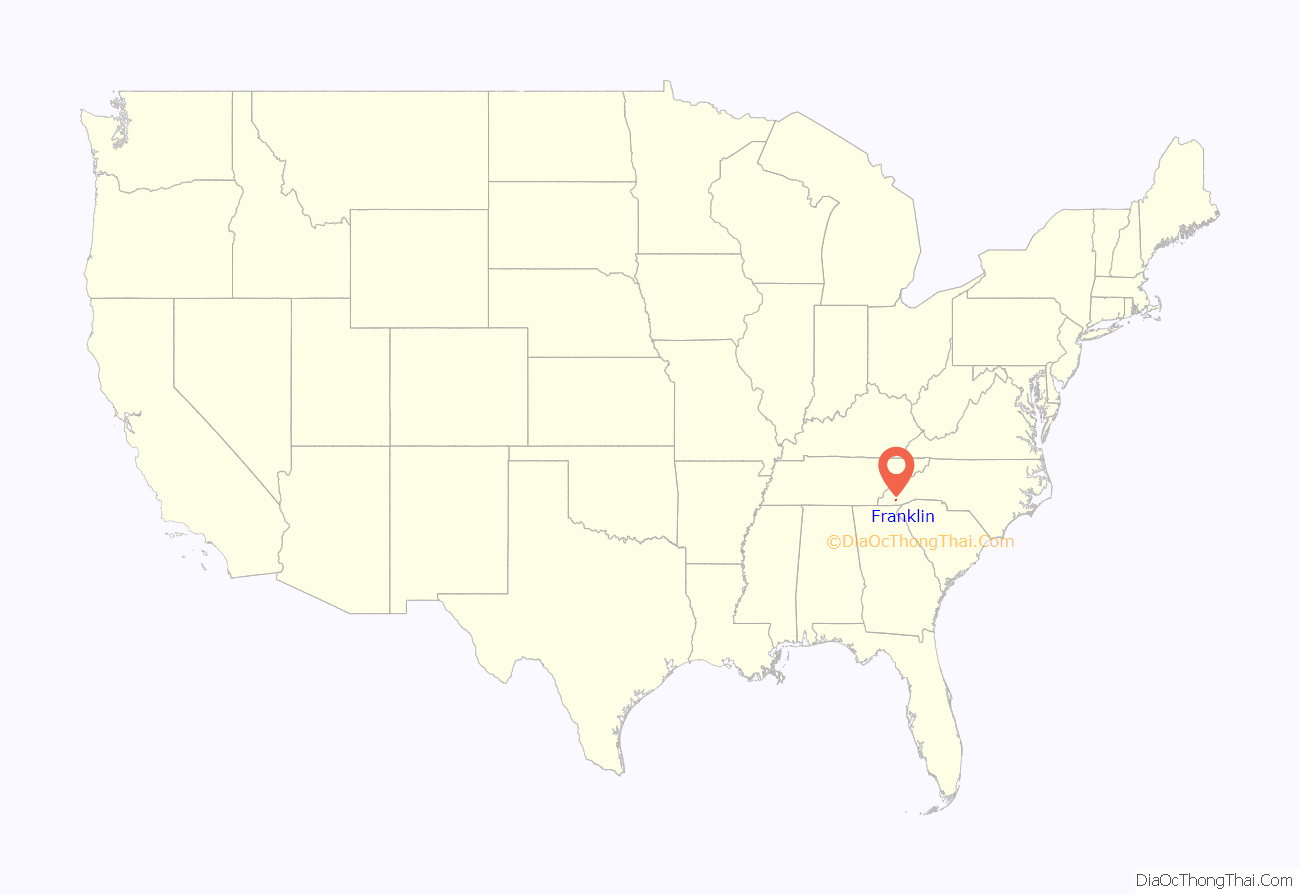
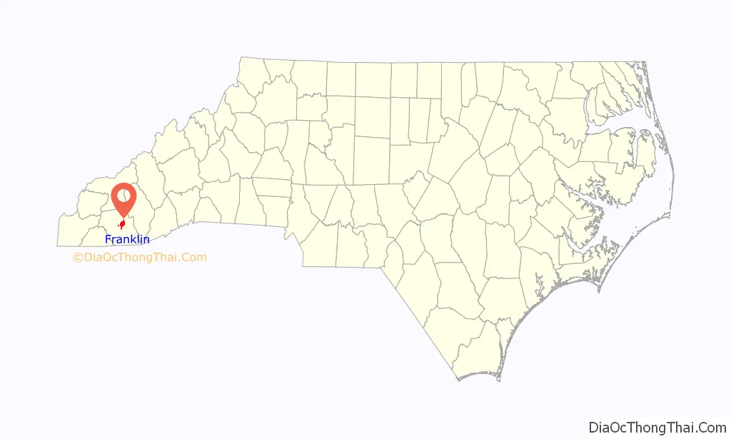
Franklin location map. Where is Franklin town?
History
Cherokee influence
Prior to the arrival of European settlers, the area was home to tribes within the Cherokee Nation. The Cherokee called this area Nikwasi, or “center of activity”. Nikwasi was an ancient and important Cherokee town, centered around an ancient platform mound believed to be at least 1000-years-old. The Cherokee built their Council House on top of the mound. In the 21st century, the remains of Nikwasi Mound are still visible in downtown Franklin. It was privately owned until Franklin purchased the site in 1946 and it was added to the National Register of Historic Places in 1980. In 1819, the Cherokee were forcibly relocated to the Qualla Boundary, which today is the home the federally recognized tribe of the Eastern Band of Cherokee.
European settlement
The city was named by European-American settlers for Jesse Franklin, one of two state commissioners who surveyed and organized the town in 1820 as the county seat, for what would become Macon County in 1828. Jesse Franklin was later elected by the state legislature as the United States Senator from North Carolina (popular election of senators did not become custom until the 20th century). He was later elected and served North Carolina as its 20th governor. The city of Franklin was not formally incorporated until 1855.
In 1946, the people of Franklin raised money to buy the site of Nikwasi Mound and vowed to preserve it. Schoolchildren were among those who donated money to buy it from one of the many private owners who had held it since the Cherokee were forced from their historic town.
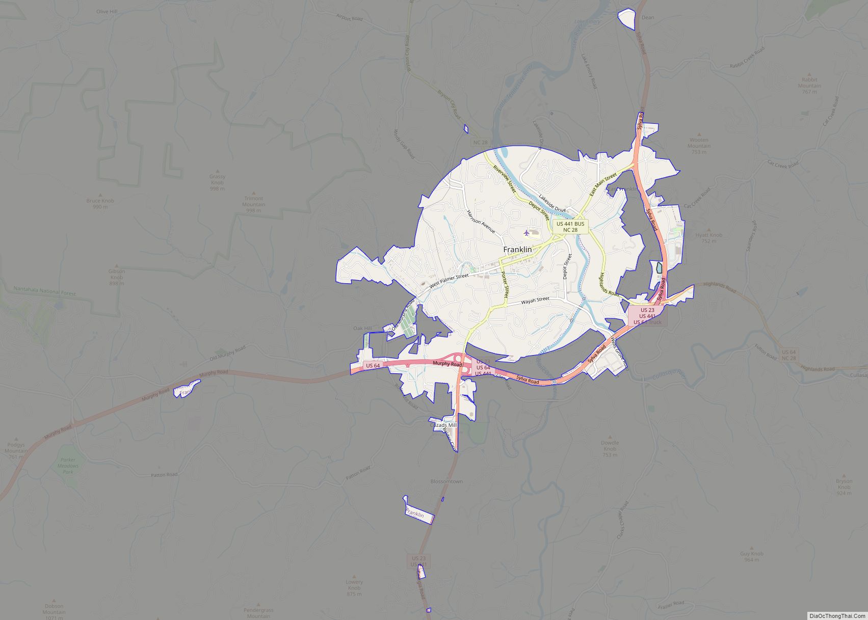
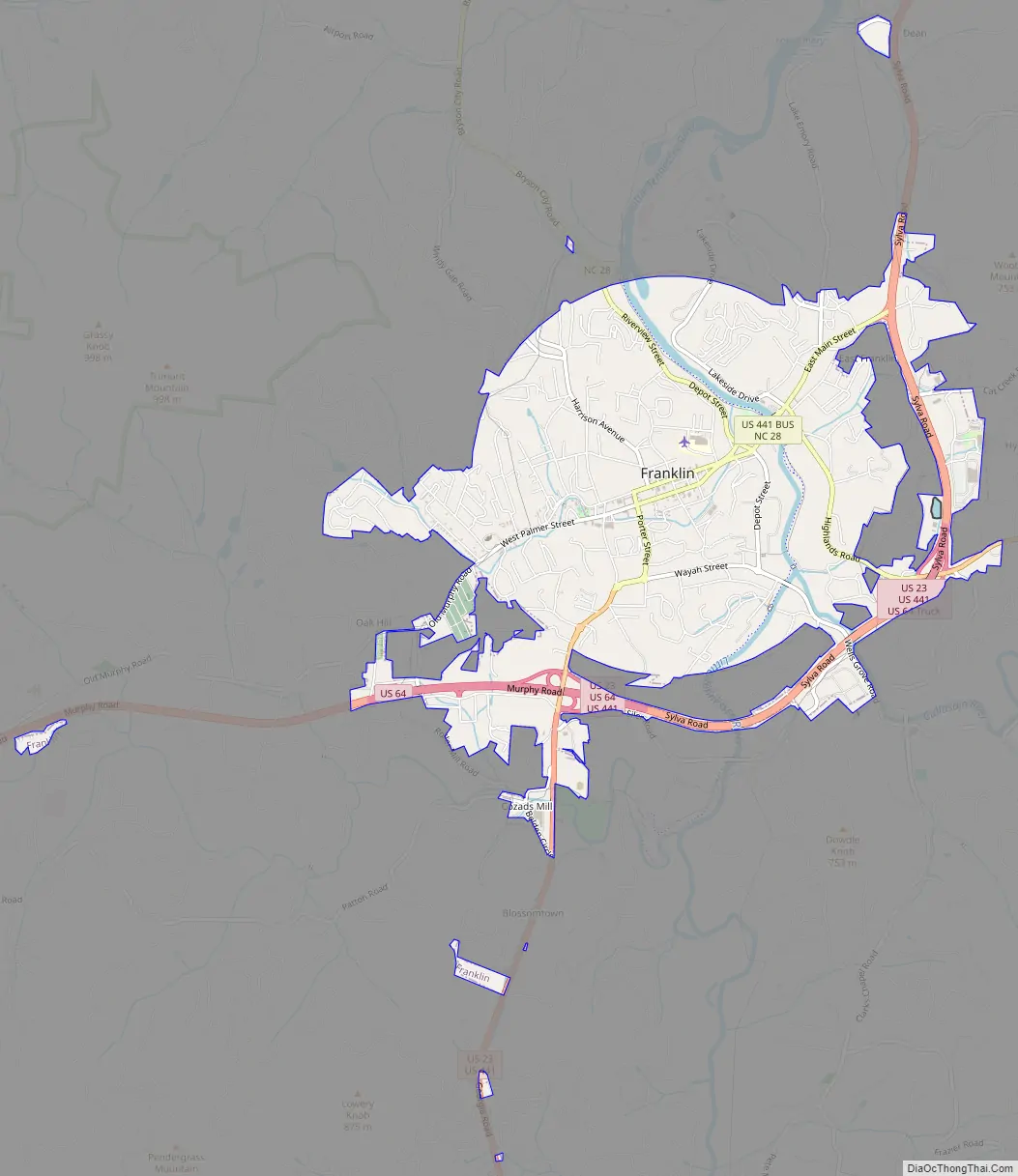
Franklin Road Map
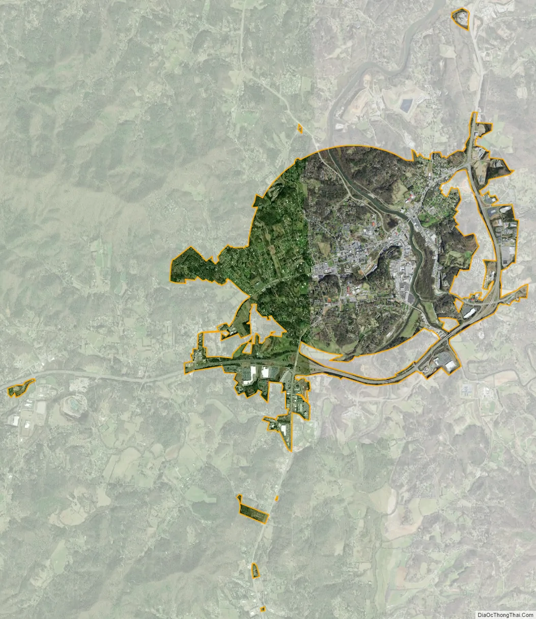
Franklin city Satellite Map
Geography
Franklin is located at 35°10′52″N 83°22′54″W / 35.18111°N 83.38167°W / 35.18111; -83.38167 (35.181144, -83.381685). The elevation of Franklin is 2119 ft.
According to the United States Census Bureau, the town has a total area of 3.9 square miles (10 km), of which 3.8 square miles (9.8 km) is land and 0.04 square miles (0.10 km) (0.78%) is water.
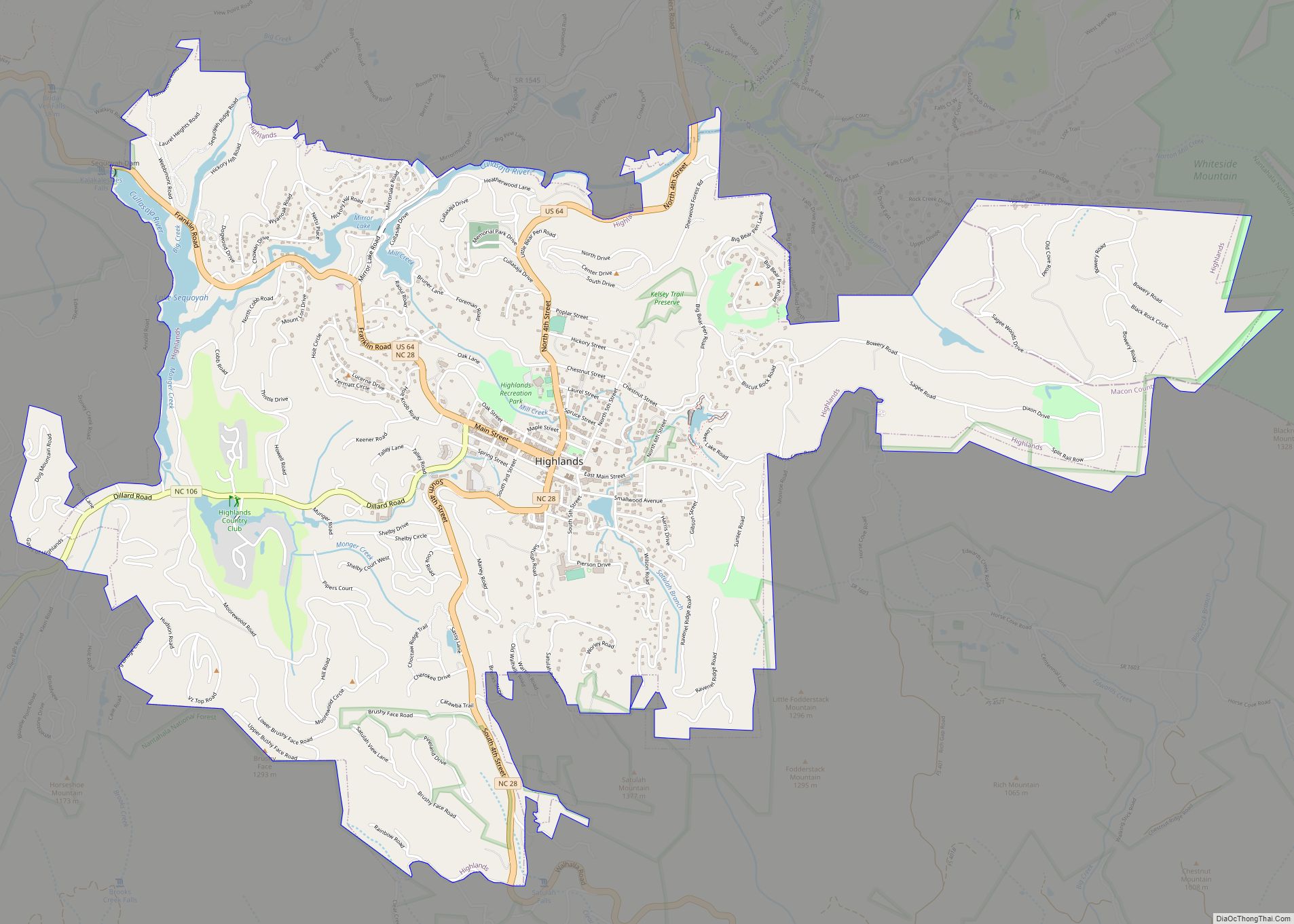
The Cullasaja River from Highlands flows into the Little Tennessee River at Franklin. Franklin and Macon County have numerous waterfalls and hiking trails.
See also
Map of North Carolina State and its subdivision:- Alamance
- Alexander
- Alleghany
- Anson
- Ashe
- Avery
- Beaufort
- Bertie
- Bladen
- Brunswick
- Buncombe
- Burke
- Cabarrus
- Caldwell
- Camden
- Carteret
- Caswell
- Catawba
- Chatham
- Cherokee
- Chowan
- Clay
- Cleveland
- Columbus
- Craven
- Cumberland
- Currituck
- Dare
- Davidson
- Davie
- Duplin
- Durham
- Edgecombe
- Forsyth
- Franklin
- Gaston
- Gates
- Graham
- Granville
- Greene
- Guilford
- Halifax
- Harnett
- Haywood
- Henderson
- Hertford
- Hoke
- Hyde
- Iredell
- Jackson
- Johnston
- Jones
- Lee
- Lenoir
- Lincoln
- Macon
- Madison
- Martin
- McDowell
- Mecklenburg
- Mitchell
- Montgomery
- Moore
- Nash
- New Hanover
- Northampton
- Onslow
- Orange
- Pamlico
- Pasquotank
- Pender
- Perquimans
- Person
- Pitt
- Polk
- Randolph
- Richmond
- Robeson
- Rockingham
- Rowan
- Rutherford
- Sampson
- Scotland
- Stanly
- Stokes
- Surry
- Swain
- Transylvania
- Tyrrell
- Union
- Vance
- Wake
- Warren
- Washington
- Watauga
- Wayne
- Wilkes
- Wilson
- Yadkin
- Yancey
- Alabama
- Alaska
- Arizona
- Arkansas
- California
- Colorado
- Connecticut
- Delaware
- District of Columbia
- Florida
- Georgia
- Hawaii
- Idaho
- Illinois
- Indiana
- Iowa
- Kansas
- Kentucky
- Louisiana
- Maine
- Maryland
- Massachusetts
- Michigan
- Minnesota
- Mississippi
- Missouri
- Montana
- Nebraska
- Nevada
- New Hampshire
- New Jersey
- New Mexico
- New York
- North Carolina
- North Dakota
- Ohio
- Oklahoma
- Oregon
- Pennsylvania
- Rhode Island
- South Carolina
- South Dakota
- Tennessee
- Texas
- Utah
- Vermont
- Virginia
- Washington
- West Virginia
- Wisconsin
- Wyoming