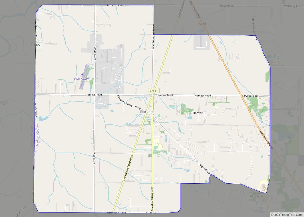
Harvest is an unincorporated community and census-designated place (CDP) in the northwestern part of Madison County, Alabama, United States, and is included in the Huntsville-Decatur Combined Statistical Area. According to the 2020 U.S. Census, the population of the community is 5,893.
| Name: | Harvest CDP |
|---|---|
| LSAD Code: | 57 |
| LSAD Description: | CDP (suffix) |
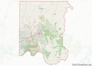
| State: | Alabama |
| County: | Madison County |
| Elevation: | 820 ft (250 m) |
| Total Area: | 12.40 sq mi (32.11 km²) |
| Land Area: | 12.33 sq mi (31.94 km²) |
| Water Area: | 0.06 sq mi (0.16 km²) |
| Total Population: | 5,893 |
| Population Density: | 477.82/sq mi (184.49/km²) |
| ZIP code: | 35749 |
| Area code: | 256 |
| FIPS code: | 0133472 |
| GNISfeature ID: | 2402570 |
Online Interactive Map
Click on ![]() to view map in "full screen" mode.
to view map in "full screen" mode.
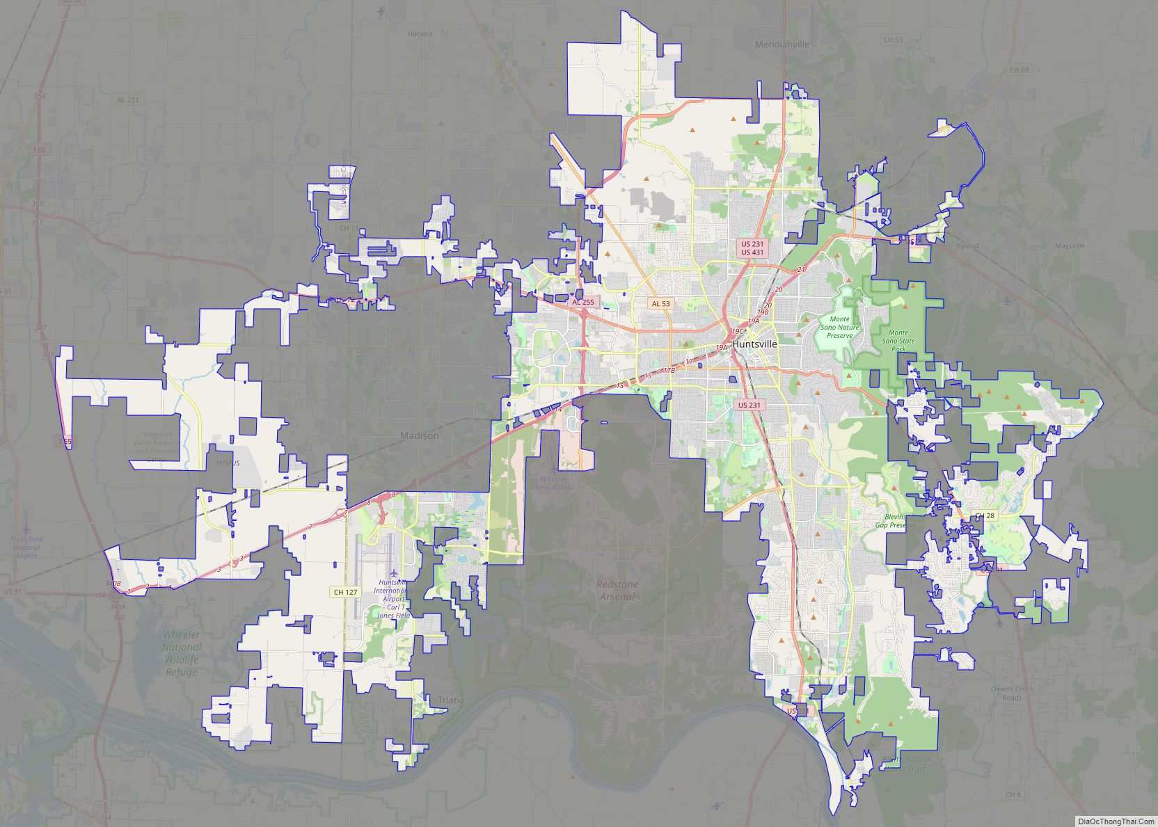
Harvest location map. Where is Harvest CDP?


History
From the late 1800s through the early 1900s, Harvest saw growth and development resulting from the construction and operation of a rail line southward from Fayetteville, Tennessee. The Nashville, Chattanooga & St. Louis (NC&StL) Railway eventually acquired the rail line. In the early-to-mid-1900s, Harvest was centered around the railroad between the communities of Capshaw (the line’s terminus) and Toney. Many early settlers in the Harvest area were from the Fayetteville area. In 1929, the NC&StL abandoned the line, pulled up the rails and transferred the right-of-way to the Madison County Highway Department with a quitclaim deed. Today, that roadbed is a two-lane roadway that continues to serve as a vital link in the modern day-to-day transportation network, and carries the appropriate name, “Old Railroad Bed Road.”
On April 3, 1974, during the 1974 Super Outbreak, two F5 tornadoes struck the community within 30 minutes of each other. Most of Harvest, primarily along the Old Railroad Bed Road area, and other nearby communities, including Tanner, was destroyed. Fifty people were killed by the tornadoes.
Harvest was hit by another violent tornado on May 18, 1995 that devastated the Anderson Hills subdivision. This F4 tornado killed one person.
On April 27, 2011, during the 2011 Super Outbreak, Harvest suffered significant damage from the EF5 tornado that destroyed the towns of Hackleburg and Phil Campbell, primarily north of Nick Davis Road, situated between Old Railroad Bed Road and Wall Triana Highway. The Anderson Hills subdivision was once again devastated, and damage in Harvest was rated EF4. The tornado killed 72 people along its path.
On March 2, 2012, during the tornado outbreak of March 2–3, 2012, Harvest suffered yet another direct hit from a damaging tornado, this one rated EF3. It hit the same area as the April 27, 2011, tornado, though no fatalities occurred this time. Some of the houses being rebuilt from the previous outbreak were destroyed again.
Harvest Road Map
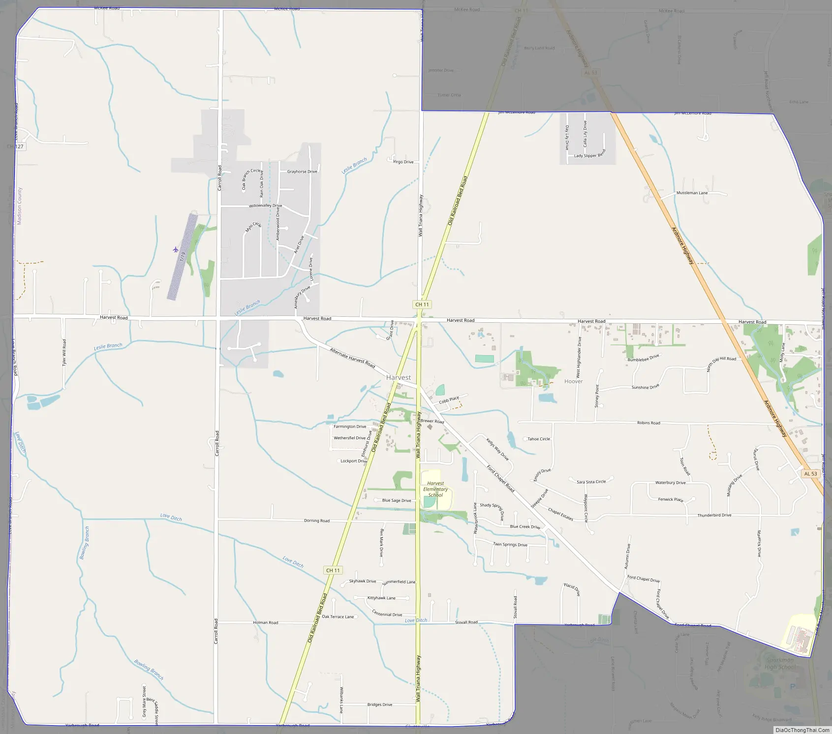
Harvest city Satellite Map

Geography
Harvest is located at 34°51′10″N 86°44′53″W / 34.85278°N 86.74806°W / 34.85278; -86.74806 (34.852827, -86.748047).
According to the U.S. Census Bureau, the community has a total area of 12.4 square miles (32 km), all land.
Capshaw Mountain (1,250 feet above sea level) is the only notable geological feature in the area, which extends about 800 feet above the general elevation in the area. The top of this small mountain is the site of several substantial communications towers used by local radio stations. Capshaw Mountain forms a watershed that provides the water supply for the community.
See also
Map of Alabama State and its subdivision:- Autauga
- Baldwin
- Barbour
- Bibb
- Blount
- Bullock
- Butler
- Calhoun
- Chambers
- Cherokee
- Chilton
- Choctaw
- Clarke
- Clay
- Cleburne
- Coffee
- Colbert
- Conecuh
- Coosa
- Covington
- Crenshaw
- Cullman
- Dale
- Dallas
- De Kalb
- Elmore
- Escambia
- Etowah
- Fayette
- Franklin
- Geneva
- Greene
- Hale
- Henry
- Houston
- Jackson
- Jefferson
- Lamar
- Lauderdale
- Lawrence
- Lee
- Limestone
- Lowndes
- Macon
- Madison
- Marengo
- Marion
- Marshall
- Mobile
- Monroe
- Montgomery
- Morgan
- Perry
- Pickens
- Pike
- Randolph
- Russell
- Saint Clair
- Shelby
- Sumter
- Talladega
- Tallapoosa
- Tuscaloosa
- Walker
- Washington
- Wilcox
- Winston
- Alabama
- Alaska
- Arizona
- Arkansas
- California
- Colorado
- Connecticut
- Delaware
- District of Columbia
- Florida
- Georgia
- Hawaii
- Idaho
- Illinois
- Indiana
- Iowa
- Kansas
- Kentucky
- Louisiana
- Maine
- Maryland
- Massachusetts
- Michigan
- Minnesota
- Mississippi
- Missouri
- Montana
- Nebraska
- Nevada
- New Hampshire
- New Jersey
- New Mexico
- New York
- North Carolina
- North Dakota
- Ohio
- Oklahoma
- Oregon
- Pennsylvania
- Rhode Island
- South Carolina
- South Dakota
- Tennessee
- Texas
- Utah
- Vermont
- Virginia
- Washington
- West Virginia
- Wisconsin
- Wyoming