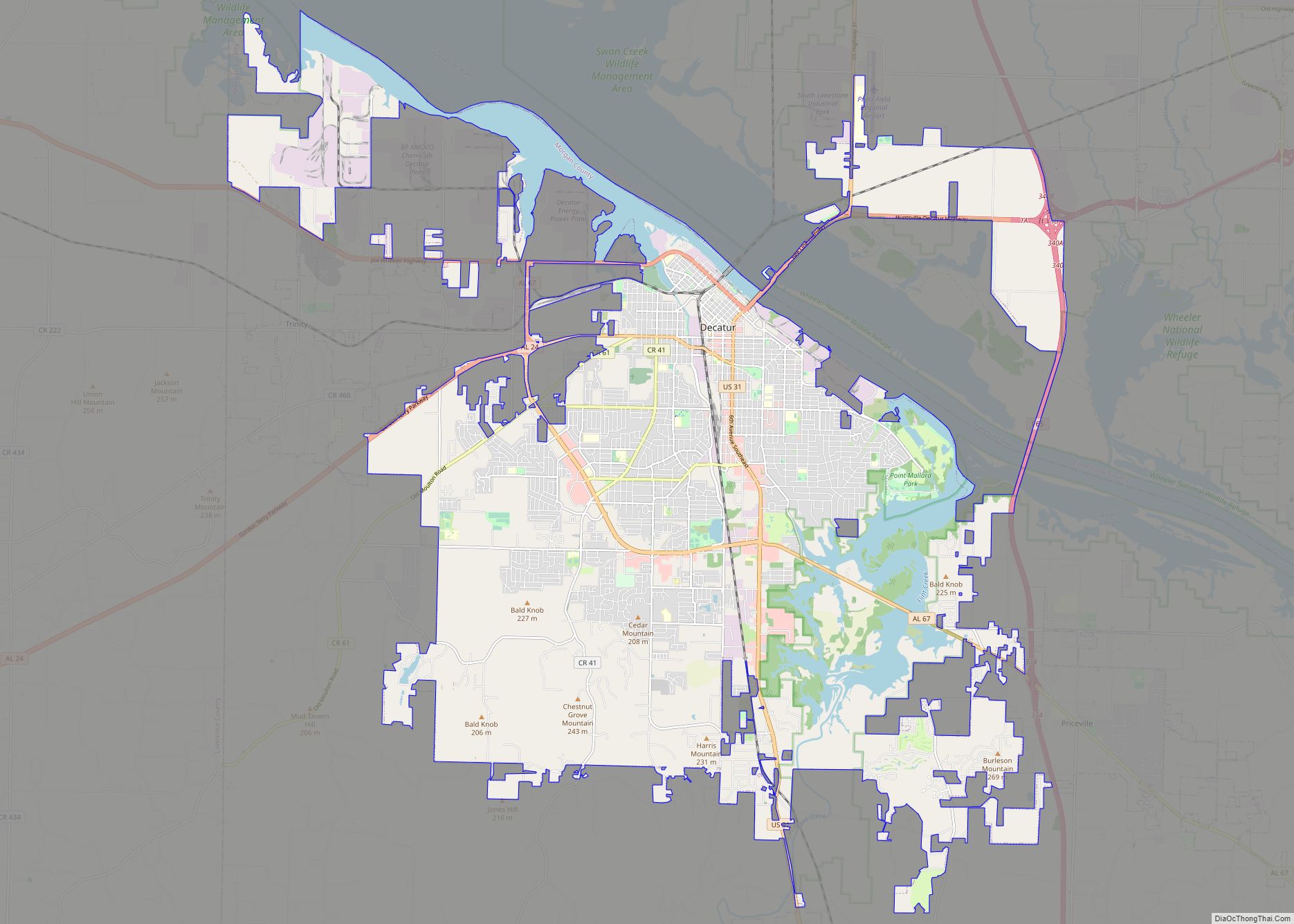
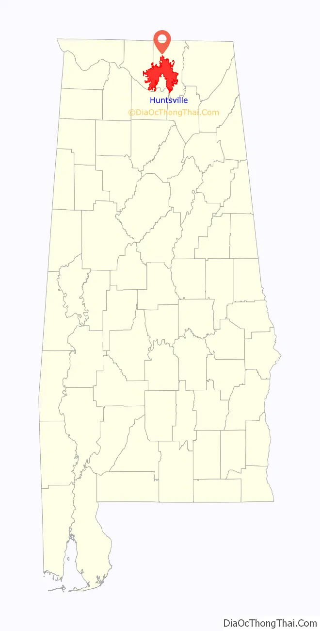
Huntsville is a city in Madison County and Limestone County, Alabama, United States, with a small portion extending into Morgan County. It is the county seat of Madison County. Located in the Appalachian region of northern Alabama, Huntsville is the most populous city in the state.
Huntsville was founded within the Mississippi Territory in 1805 and became an incorporated town in 1811. When Alabama was admitted as a state in 1819, Huntsville was designated for a year as the first capital, before that was moved to more central settlements. The city developed across nearby hills north of the Tennessee River, adding textile mills in the late nineteenth century.
Its major growth has taken place since World War II. During the war, the Army established Redstone Arsenal near here with a chemical weapons plant, and nearby related facilities. After the war, additional research was conducted at Redstone Arsenal on rockets, followed by adaptations for space exploration. NASA’s Marshall Space Flight Center, the United States Army Aviation and Missile Command, and most recently the FBI’s operational support headquarters all came to be located at nearby Redstone Arsenal. The National Trust for Historic Preservation included Huntsville in its “America’s Dozen Distinctive Destinations for 2010” list.
The city’s population was 215,006 at the 2020 census The Huntsville metropolitan area’s population was 491,723 in 2020, making it the second most populous metropolitan area in the state after the Birmingham metropolitan area.
| Name: | Huntsville city |
|---|---|
| LSAD Code: | 25 |
| LSAD Description: | city (suffix) |
| State: | Alabama |
| County: | Limestone County, Madison County |
| Elevation: | 581 ft (177 m) |
| Land Area: | 219.34 sq mi (568.08 km²) |
| Water Area: | 1.49 sq mi (3.87 km²) |
| Population Density: | 980/sq mi (378.5/km²) |
| ZIP code: | 35649, 35749, 35748, 35754, 35756, 35757, 35671, 35741, 35762, 35763, 35773, 35801–35816, 35824, 35893-35899 |
| FIPS code: | 0137000 |
| GNISfeature ID: | 2404746 |
| Website: | huntsvilleal.gov |
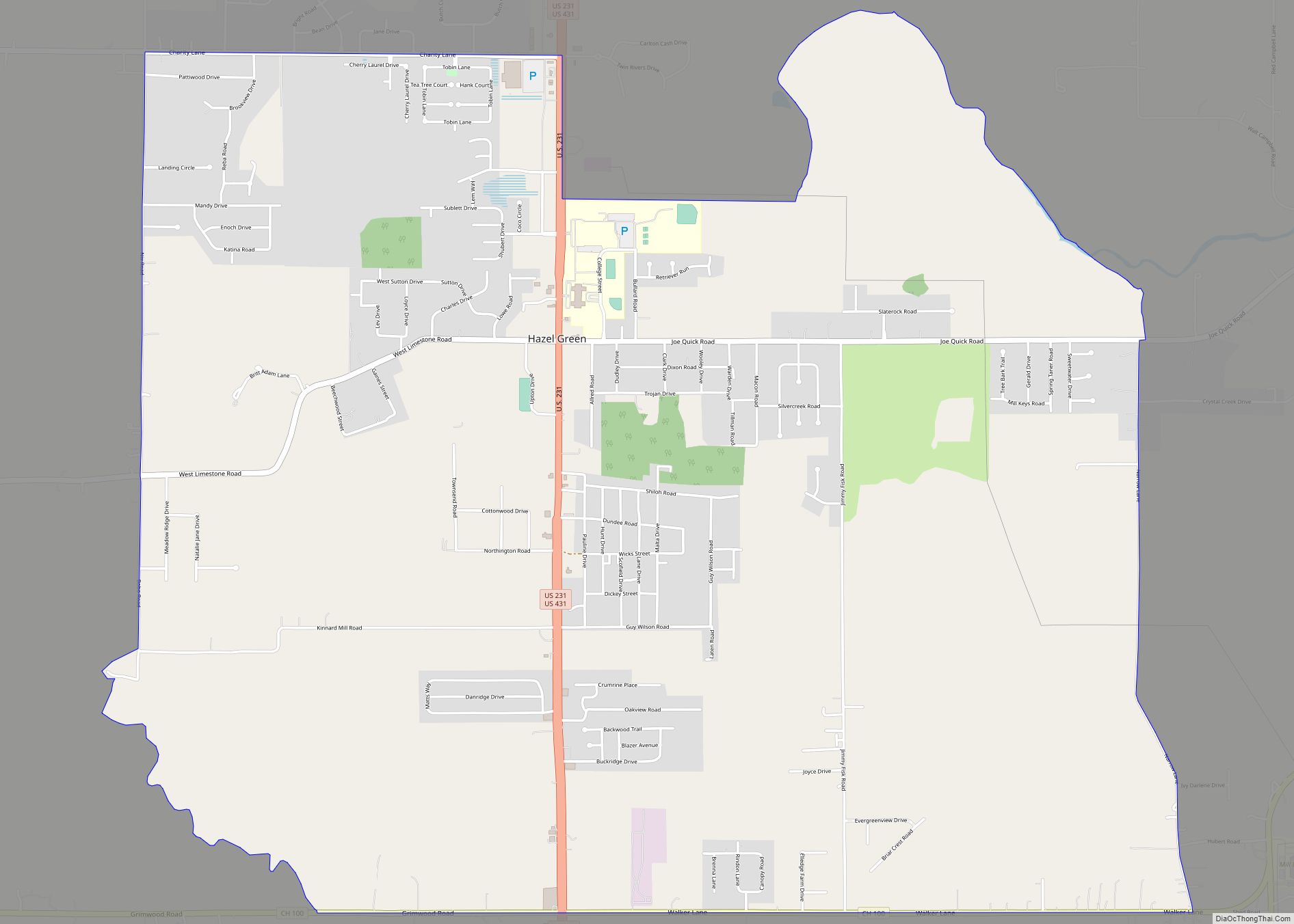
Online Interactive Map
Click on ![]() to view map in "full screen" mode.
to view map in "full screen" mode.
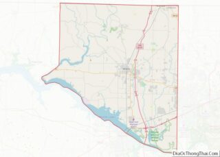
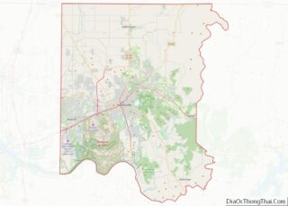
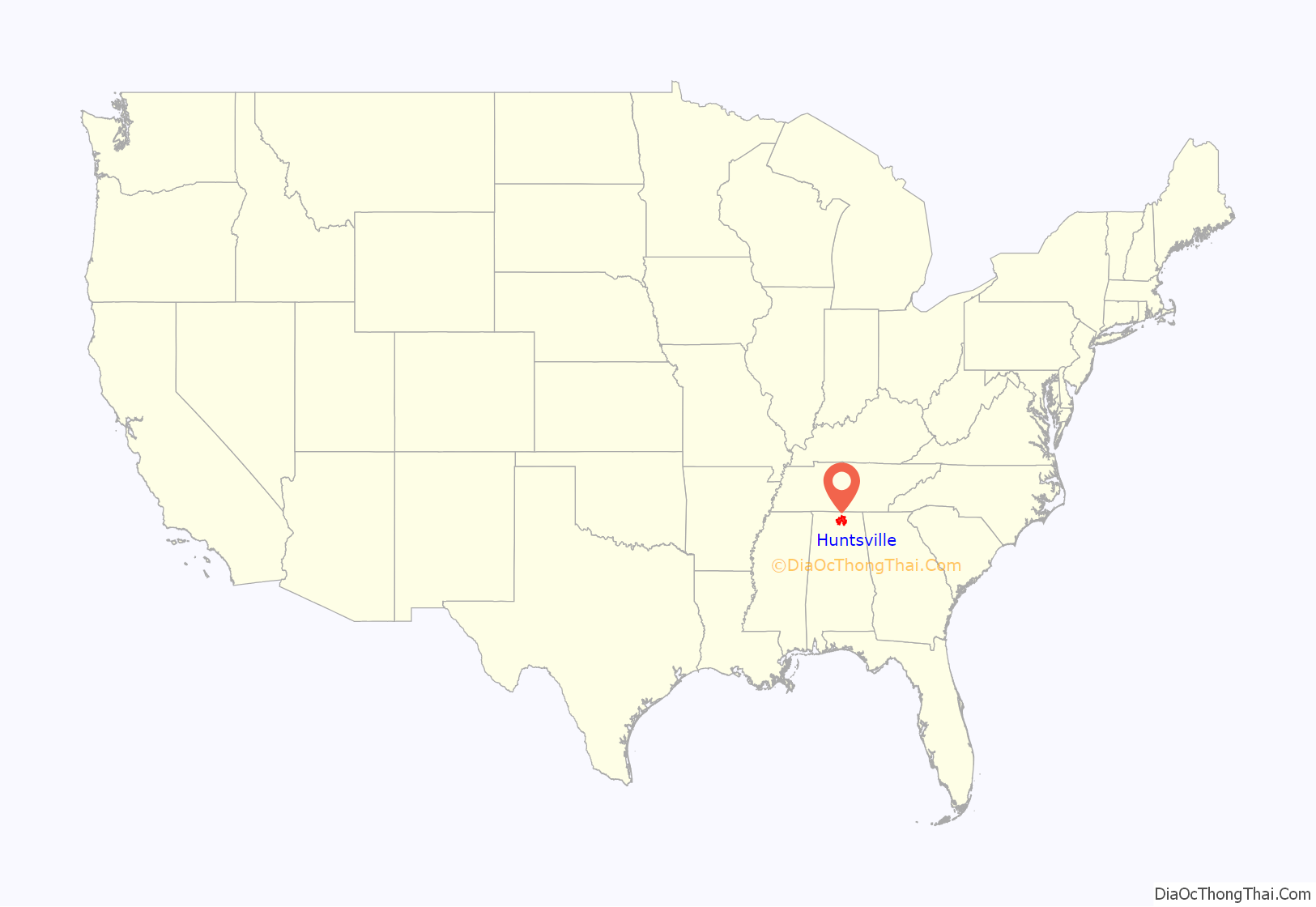
Huntsville location map. Where is Huntsville city?
History
Early history
Together with settlement pressures after the United States gained independence, this area had become largely empty of indigenous peoples by the turn of the 19th century. Revolutionary War veteran John Hunt was a pioneer in 1805 on land around the Big Spring. The US negotiated an 1805 treaty with the Chickasaw and an 1806 treaty with the Cherokee who ceded their claims to land to the federal government.
The area was subsequently purchased by LeRoy Pope, who named it Twickenham after the home village of his distant kinsman Alexander Pope. Twickenham was carefully planned, with streets laid out in a northeast to southwest direction based on the flow of Big Spring. Given anti-British sentiment during this period after the Revolution and with tensions leading to the War of 1812, in 1811 the town name was changed to “Huntsville” to honor pioneer John Hunt.
Both John Hunt and LeRoy Pope were Freemasons and charter members of Helion Lodge #1, the oldest lodge in Alabama.
In 1811, Huntsville became the first incorporated town in what is now Alabama. However, the recognized “founding” year of the city is 1805, the year of John Hunt’s arrival. David Wade settled in Huntsville in 1817. He built the David Wade House on the north side of what is now Bob Wade Lane (Robert B. Wade was David’s grandson), just east of Mt. Lebanon Road.
Emerging industries
Huntsville’s initial growth was based on wealth generated by the sale of cotton from plantations, for which there was international demand, and trade associated with railroad industries. Many wealthy planters moved into the area from Virginia, Georgia, and the Carolinas to develop new cotton plantations. The invention of the cotton gin in the late eighteenth century meant that uplands areas could be profitably cultivated with short-staple cotton, which could be grown in a much larger area than the long-staple cotton of the Sea Islands and Low Country.
In 1819, Huntsville hosted a constitutional convention in Walker Allen’s large cabinet-making shop. The 44 delegates wrote a constitution for the new state of Alabama. In accordance with the new state constitution, Huntsville became Alabama’s first capital when the state was admitted to the Union. This was a temporary designation for one legislative session only. The capital was moved to more central cities in the state; to Cahaba, then to Tuscaloosa, and finally to Montgomery.
In 1855, the Memphis and Charleston Railroad was constructed through Huntsville, becoming the first railway to link the Atlantic seacoast with the lower Mississippi River.
Civil War
Huntsville initially opposed secession from the Union in 1861, but provided many men for the Confederacy’s efforts. The 4th Alabama Infantry Regiment, led by Col. Egbert J. Jones of Huntsville, distinguished itself at the Battle of Manassas/Bull Run, the first major encounter of the American Civil War. The Fourth Alabama Infantry, which contained two Huntsville companies, were the first Alabama troops to fight in the war. They were also present when General Robert E. Lee surrendered to Grant at Appomattox Court House in April 1865. Nine generals of the war were born in or near Huntsville; five fought for the Confederacy and four for the Union. Other Huntsville residents joined the Union Army and helped establish the Union Army’s 1st Alabama Cavalry Regiment.
On the morning of April 11, 1862, Union troops led by General Ormsby M. Mitchel seized Huntsville in order to sever the Confederacy’s rail communications and gain access to the Memphis & Charleston Railroad. Huntsville was the control point for the Western Division of the Memphis & Charleston.
During the first occupation, Union officers took over many of the larger homes in the city while the enlisted soldiers camped in tents mainly on the outskirts. In the initial occupation, the Union troops searched for both Confederate troops hiding in the town and weapons. There was not a lot of resistance and they treated Huntsville residents in a relatively civil manner. However, residents of nearby towns reported harsher treatment. Union troops were forced to retreat a few months later. In the fall of 1863, they returned to Huntsville, using it as a base of operations for the war in the South until the last months of 1864. According to the journal of a nearby resident, Union troops burned many homes and villages in the surrounding countryside in retaliation for the active guerrilla warfare in the area. Many houses and buildings were burned, although most of Huntsville was kept intact as it housed both Union officers and troops.
After the Civil War
During the Reconstruction era, three delegates from Huntsville attended the 1867 Constitutional Convention including Andrew J. Applegate, originally from Ohio, who went on to serve as Alabama’s first Lieutenant Governor. Councill Training School, which eventually became William Hooper Councill High School, was established as the first public school for African American students. It was named for educator and school founder William Hooper Councill.
Huntsville became a center for cotton textile mills, such as Lincoln, Dallas, and Merrimack. Each mill company constructed worker housing outside the city, creating communities that eventually included schools, churches, grocery stores, theaters, and hardware stores, all within walking distance of the mill. In many such company towns, workers were required to buy goods at the company stores, which sometimes overcharged them. The mill owners also established rules for behavior and could throw out workers from housing if they violated these policies. As was common for the time, work was highly segregated with only whites being allowed to work inside the mills and Blacks regulated to working outside as laborers and groundskeepers.
During the 1930s, industry declined in Huntsville due to the Great Depression. Huntsville became known as the Watercress Capital of the World because of its abundant harvest in the area. Madison County led Alabama in cotton production during this time.
Military and NASA involvement
By 1940, Huntsville was still relatively small, with a population of about 13,000 inhabitants. This quickly changed in early 1941 when the U.S. Army selected 35,000 acres (140 km) of land adjoining the southwest area of the city for building three chemical munitions facilities: the Huntsville Arsenal, the Redstone Ordnance Plant (soon redesignated Redstone Arsenal), and the Gulf Chemical Warfare Depot. These operated throughout World War II, with combined personnel approaching 20,000. Resources in the area were strained as new workers flocked to the area, and the construction of housing could not keep up.
At the end of the war in 1945, the munitions facilities were no longer needed. They were combined with the designation Redstone Arsenal (RSA), and a considerable political and business effort was made in attempts to attract new tenants. One significant start involved manufacturing the Keller automobile, but this closed after 18 vehicles were built. With the encouragement of US Senator John Sparkman (D-AL), the U.S. Army Air Force considered this for a major testing facility, but selected another site. Redstone Arsenal was prepared for disposal, but Sparkman used his considerable Southern Democratic influence (the Solid South controlled numerous powerful chairmanships of congressional committees) to persuade the Army to choose it as a site for rocket and missile development.
As the Korean War started, the Ordnance Guided Missile Center (OGMC) was given the mission to develop what eventually became the Redstone Rocket. This rocket set the stage for the United States’ space program, as well as major Army missile programs, to be centered in Huntsville. Brigadier General Holger Toftoy commanded OGMC and the overall Redstone Arsenal. In early 1956, the Army Ballistic Missile Agency (ABMA) under Major General John Medaris was formed.
During Operation Paperclip in 1950, about 1,000 personnel were transferred from Fort Bliss, Texas, to Redstone Arsenal to form the Ordnance Guided Missile Center (OGMC). Central to this was a group of about 200 German scientists and engineers, led by Wernher von Braun; they had been brought from Nazi Germany to the United States by Colonel Holger Toftoy under Operation Paperclip following World War II. Assigned to the center at Huntsville, they settled and raised families.
The city is nicknamed “The Rocket City” for its close association with U.S. space missions. On January 31, 1958, ABMA placed America’s first satellite, Explorer 1, into orbit using a Jupiter-C launch vehicle, a descendant of the Redstone. This brought national attention to Redstone Arsenal and Huntsville, with widespread recognition of this being a major center for high technology.
On July 1, 1960, 4,670 civilian employees, associated buildings and equipment, and 1,840 acres (7.4 km) of land were transferred from ABMA to form NASA’s George C. Marshall Space Flight Center (MSFC). Wernher von Braun was MSFC’s initial director. On September 8, President Dwight D. Eisenhower formally dedicated the MSFC.
During the 1960s, the major mission of MSFC was in developing the Saturn boosters used by NASA in the Apollo Lunar Landing Program. For this, MSFC greatly increased its employees, and many new companies joined the Huntsville industrial community. The Cummings Research Park was developed just north of Redstone Arsenal to partially accommodate this industrial growth, and has now become the second-largest research park of this type in America.
Huntsville was a key location in the Civil Rights Movement. In 1962, students from Alabama A&M University held the city’s first lunch counter sit-in. The Community Service Committee (CSC) was formed shortly afterwards and helped organize sit-ins and protests, becoming “the most significant group leading the civil rights movement in Huntsville”, according to Kelly Hamlin Fisk. In April 1962, eight lunch counters were desegregated due to an effort by the city to “address the concerns of the African American community.” In August 1963, a court ruling determined that Huntsville must desegregate their schools, but the state government attempted to prevent integration. The conflict led to intervention from the Justice Department, and desegregation of schools was finished soon after.
Huntsville’s economy was nearly crippled and growth almost came to a standstill in the 1970s following the closure of the Apollo program. However, the emergence of the Space Shuttle, the International Space Station, and a wide variety of advanced research in space sciences led to a resurgence in NASA-related activities that has continued into the 21st century. In addition, new Army organizations have emerged at Redstone Arsenal, particularly in the ever-expanding field of missile defense.
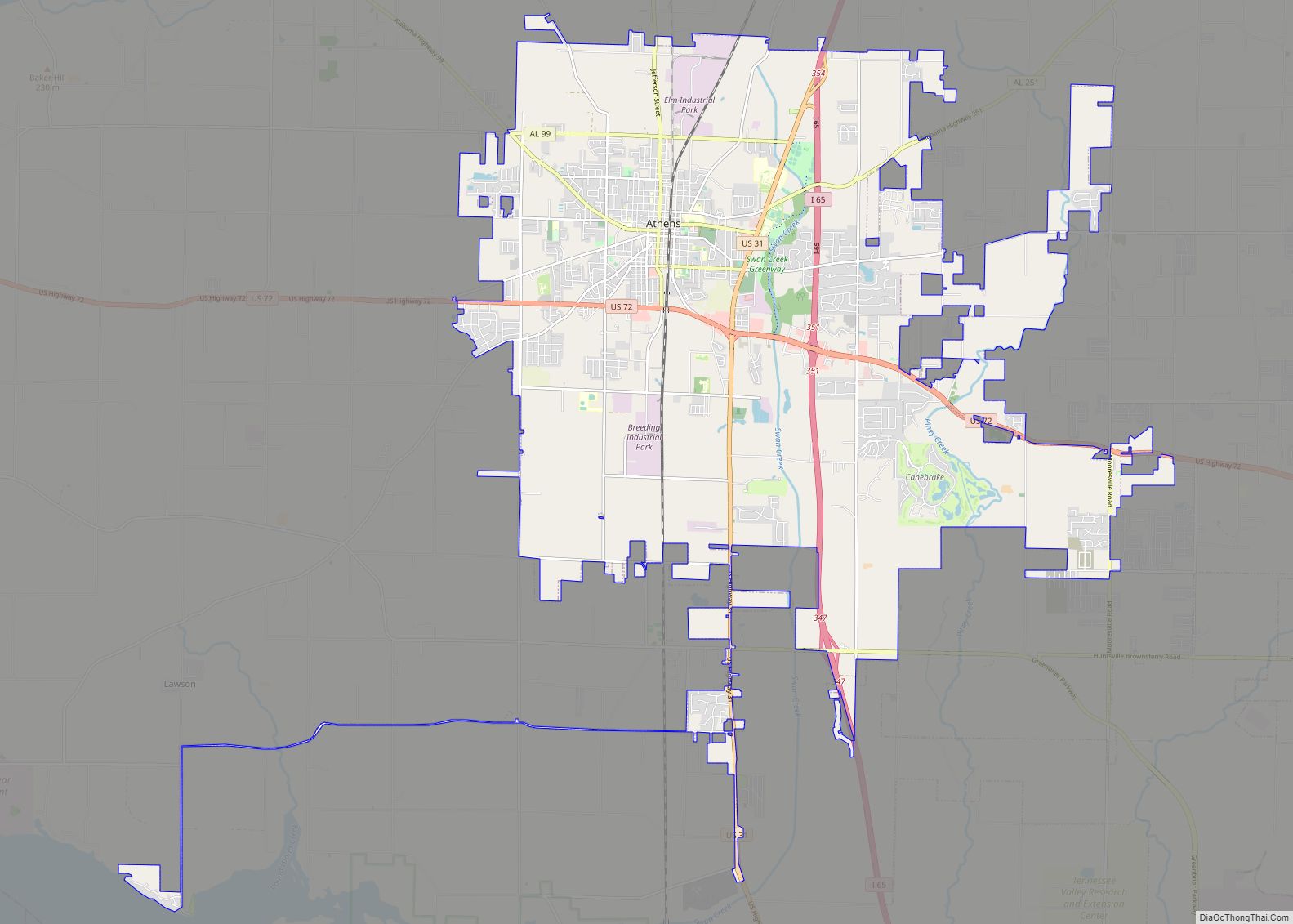
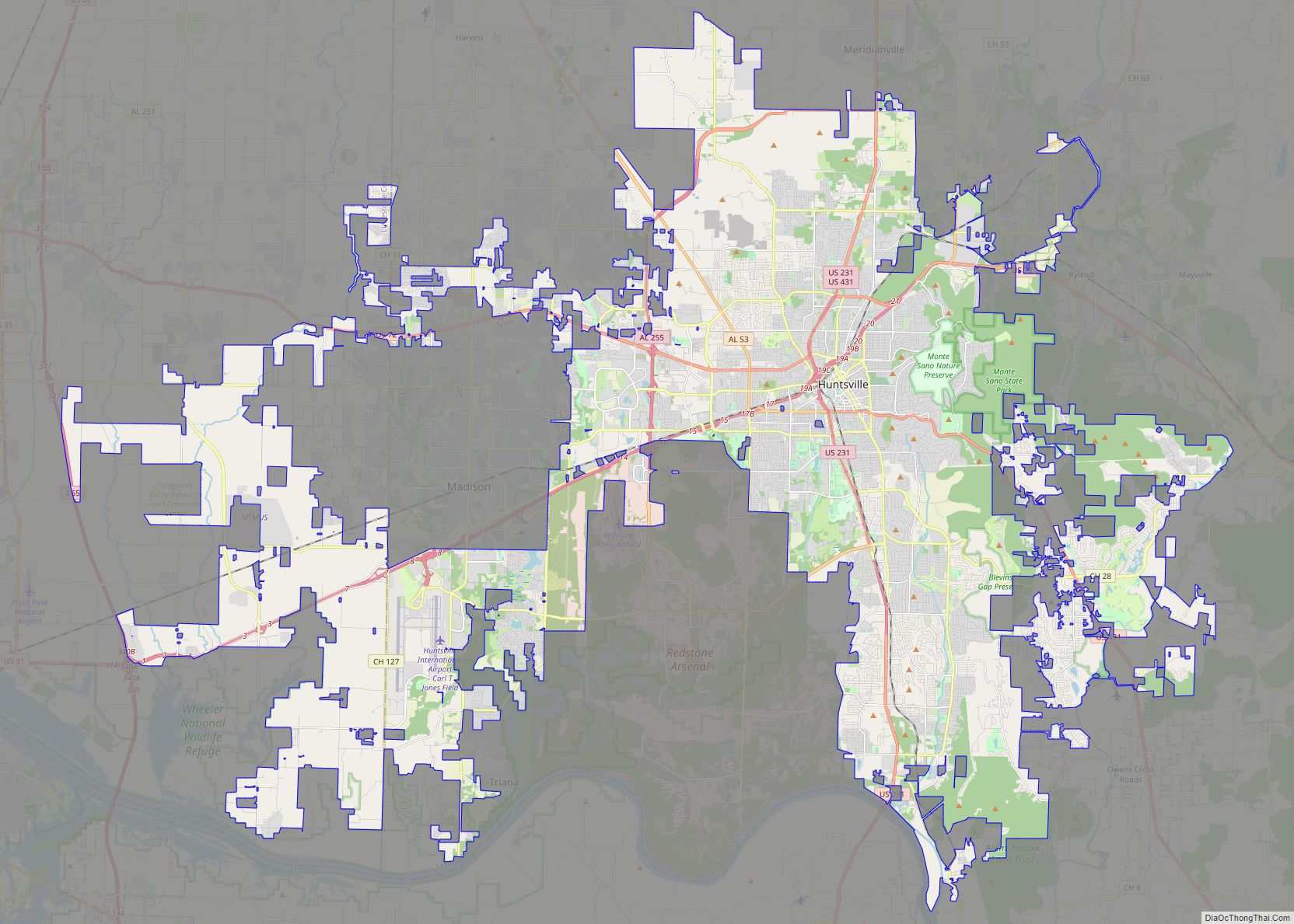
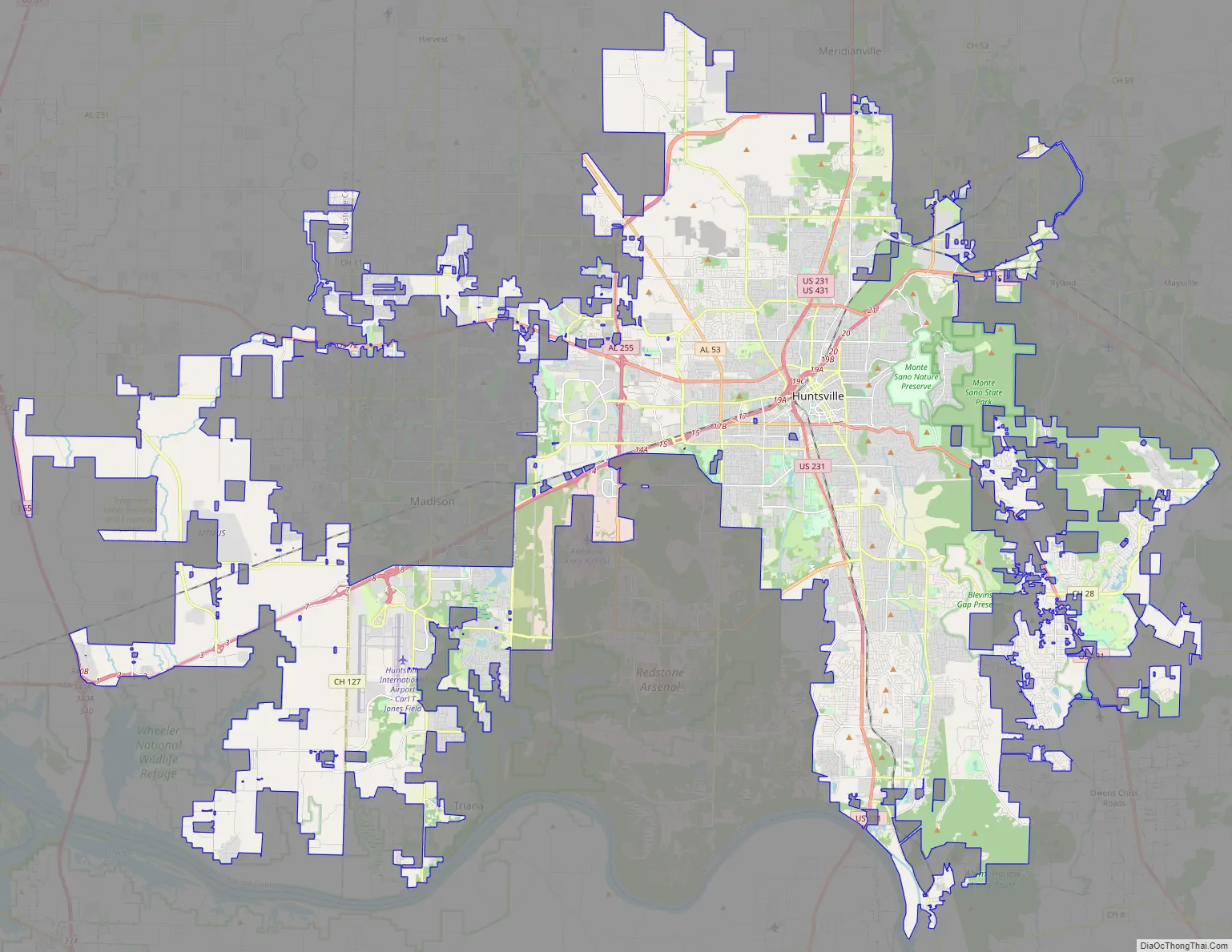
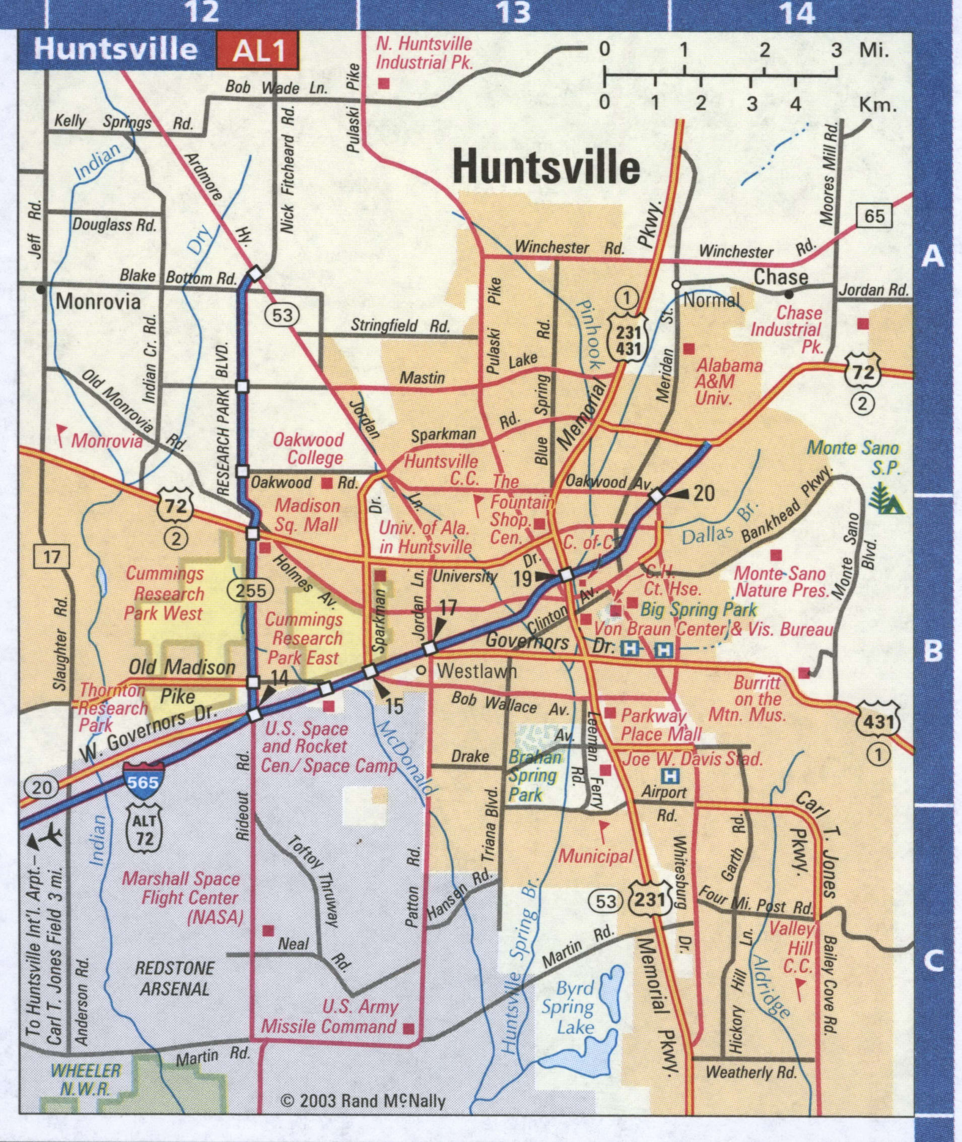
Huntsville Road Map
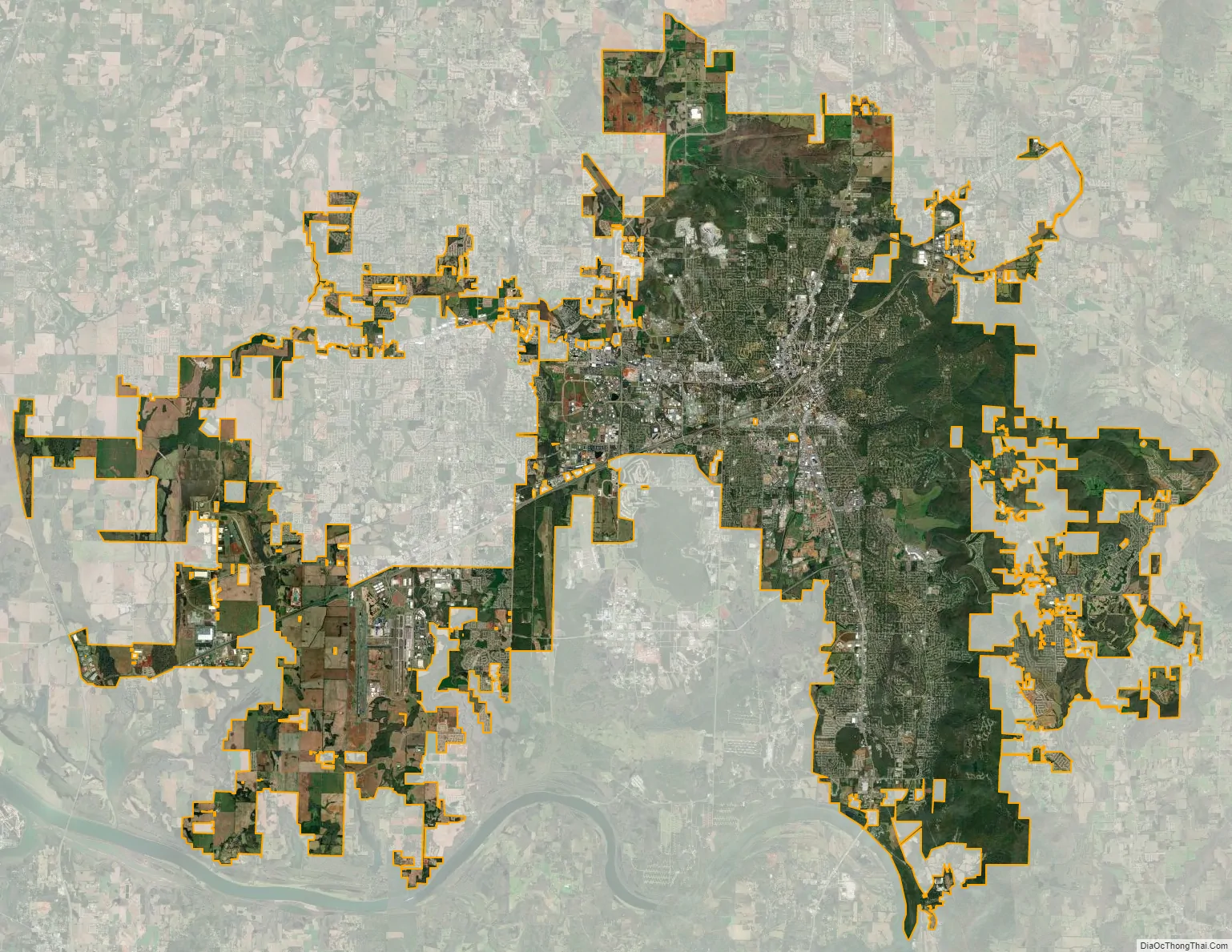
Huntsville city Satellite Map
Geography
The city has a total area of 220.9 square miles (572.0 km), of which 219.3 square miles (568.1 km) are land and 1.5 square miles (3.9 km), or 0.68%, are water. Huntsville has grown through recent annexations west into Limestone County, a total of 21.5 square miles (56 km) (13,885 acres (5,619 ha)) in the early 2000s, and south into Morgan County, a total of 1.03 square miles (2.67 km2) (659.1 acres (266.73 ha)) in 2018.
Situated in the Tennessee River valley, Huntsville is partially surrounded by several plateaus and large hills. These plateaus are associated with the Cumberland Plateau, and are locally called “mountains”. Monte Sano Mountain (Spanish for “Mountain of Health”) is the most notable and is east of the city, along with Round Top (Burritt), Chapman, Huntsville, and Green mountains. Others are Wade Mountain to the north, Rainbow Mountain to the west, and Weeden and Madkin mountains on the Redstone Arsenal property in the south. Brindley Mountain is visible in the south across the Tennessee River.
As with other areas along the Cumberland Plateau, the land around Huntsville is karst in nature. The city was founded around the Big Spring, which is a typical karst spring. Many caves perforate the limestone bedrock underneath the surface, as is common in karst areas. The National Speleological Society is headquartered in Huntsville.
Climate
Huntsville has a humid subtropical climate (Köppen climate classification Cfa). It experiences hot, humid summers and generally mild winters, with average high temperatures ranging from near 90 °F (32.2 °C) in the summer to 49 °F (9.4 °C) during winter.
Huntsville is near the center of a large area of the U.S. mid-South that has maximum precipitation in the winter and spring, not summer. The average yearly precipitation is more than 54 inches. On average, the wettest single month is December, but Huntsville has a prolonged wetter season from November to May, with (on average) nearly or over 5 or more inches of precipitation most of those months. On average, August to October represent slightly drier months (see climate chart, showing less than 3.6 inches of precipitation these months). Droughts can occur, primarily August through October, but usually there is enough rainfall to keep soils moist and vegetation lush. Much of Huntsville’s precipitation is delivered by thunderstorms. Thunderstorms are most frequent during the spring, and the most severe storms occur during the spring and late fall. These storms can deliver large hail, damaging straight-line winds, and tornadoes. Huntsville lies in a region colloquially known as Dixie Alley, an area more prone to violent, long-track tornadoes than most other parts of the US.
On April 27, 2011, the largest tornado outbreak on record, the 2011 Super Outbreak, affected northern Alabama. During this event, an EF5 tornado that tracked near the Browns Ferry Nuclear Power Plant destroyed many transmission towers and caused a multi-day power outage for the majority of North Alabama. That same tornado also resulted in considerable damage to the Anderson Hills subdivision and in Harvest, Alabama. In total, nine people were killed in Madison County, and many others were injured. Other significant tornado events include the Super Outbreak in April 1974, the November 1989 tornado that killed 21 and injured over 460, and the 1995 Anderson Hills tornado that killed one person and caused extensive damage. On January 21, 2010, an EF2 tornado struck Huntsville, resulting in moderate damage. Because it was not rain-wrapped and was easily photographed, it received extensive media coverage.
Since Huntsville is nearly 300 miles (480 km) inland, hurricanes rarely arrive with their full force; however, many weakened tropical storms cross the area after a U.S. Gulf Coast landfall. While most winters have some measurable snow, heavy snow is rare in Huntsville. However, there have been some unusually heavy snowstorms, like the New Year’s Eve 1963 snowstorm, when 17 in (43 cm) fell within 24 hours. Likewise, the Blizzard of 1993 and the Groundhog Day snowstorm in February 1996 were substantial winter events for Huntsville. On Christmas Day 2010, Huntsville recorded over 4 inches (10 cm) of snow, and on January 9–10, 2011 it received 8.9 inches (23 cm) at the airport and up to 10 inches (25 cm) in the suburbs.
See also
Map of Alabama State and its subdivision:- Autauga
- Baldwin
- Barbour
- Bibb
- Blount
- Bullock
- Butler
- Calhoun
- Chambers
- Cherokee
- Chilton
- Choctaw
- Clarke
- Clay
- Cleburne
- Coffee
- Colbert
- Conecuh
- Coosa
- Covington
- Crenshaw
- Cullman
- Dale
- Dallas
- De Kalb
- Elmore
- Escambia
- Etowah
- Fayette
- Franklin
- Geneva
- Greene
- Hale
- Henry
- Houston
- Jackson
- Jefferson
- Lamar
- Lauderdale
- Lawrence
- Lee
- Limestone
- Lowndes
- Macon
- Madison
- Marengo
- Marion
- Marshall
- Mobile
- Monroe
- Montgomery
- Morgan
- Perry
- Pickens
- Pike
- Randolph
- Russell
- Saint Clair
- Shelby
- Sumter
- Talladega
- Tallapoosa
- Tuscaloosa
- Walker
- Washington
- Wilcox
- Winston
- Alabama
- Alaska
- Arizona
- Arkansas
- California
- Colorado
- Connecticut
- Delaware
- District of Columbia
- Florida
- Georgia
- Hawaii
- Idaho
- Illinois
- Indiana
- Iowa
- Kansas
- Kentucky
- Louisiana
- Maine
- Maryland
- Massachusetts
- Michigan
- Minnesota
- Mississippi
- Missouri
- Montana
- Nebraska
- Nevada
- New Hampshire
- New Jersey
- New Mexico
- New York
- North Carolina
- North Dakota
- Ohio
- Oklahoma
- Oregon
- Pennsylvania
- Rhode Island
- South Carolina
- South Dakota
- Tennessee
- Texas
- Utah
- Vermont
- Virginia
- Washington
- West Virginia
- Wisconsin
- Wyoming