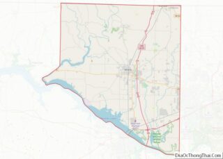
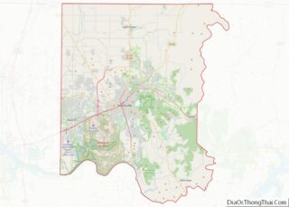
Madison is a city located primarily in Madison County, near the northern border of the U.S. state of Alabama. Madison extends west into neighboring Limestone County. The city is included in the Huntsville Metropolitan Area, the second-largest in the state, and is also included in the merged Huntsville-Decatur Combined Statistical Area. As of the 2020 census, the population of the city was 56,933, an increase over the 42,938 from the 2010 census. Madison is bordered by Huntsville on nearly all sides with some small unincorporated lands within and around Madison in Madison and Limestone counties.
Madison was mostly a small city for many years, until Redstone Arsenal was established nearby, which attracted many people to the area for jobs. This rapidly increased the city’s population and stimulated economic growth. Many of Madison’s residents work in Research Park or the Redstone Arsenal. Madison has been one of the fastest-growing cities in Alabama, as well as one of the wealthiest in the state. In 2021 census estimates, Madison was the 9th largest city in Alabama and the second largest city in North Alabama trailing only nearby Huntsville.
| Name: | Madison city |
|---|---|
| LSAD Code: | 25 |
| LSAD Description: | city (suffix) |
| State: | Alabama |
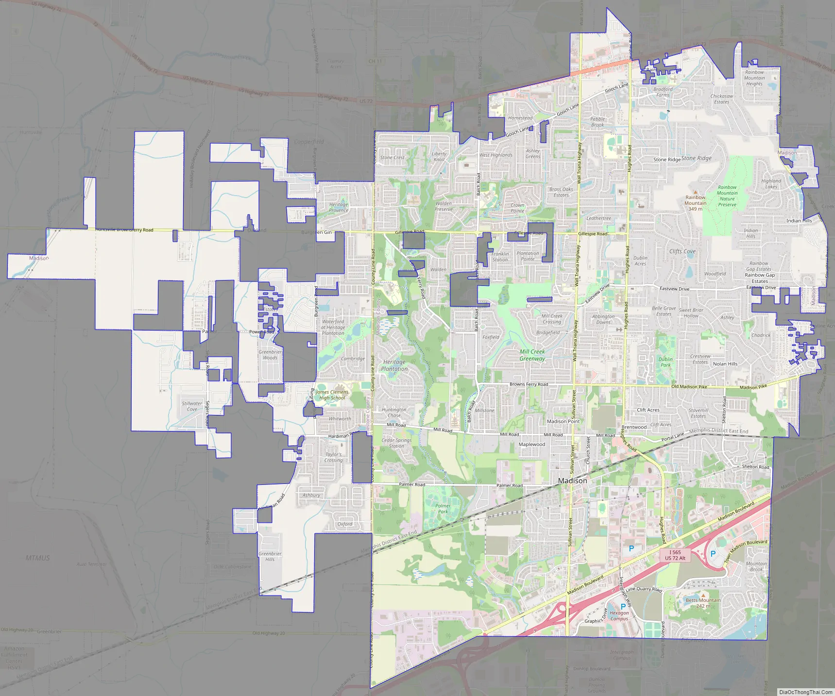
| County: | Limestone County, Madison County |
| Elevation: | 689 ft (210 m) |
| Land Area: | 30.36 sq mi (78.62 km²) |
| Water Area: | 0.13 sq mi (0.34 km²) |
| Population Density: | 1,875.6/sq mi (724.17/km²) |
| ZIP code: | 35756-35758 |
| Area code: | 256 |
| FIPS code: | 0145784 |
| GNISfeature ID: | 2404989 |
| Website: | www.madisonal.gov |
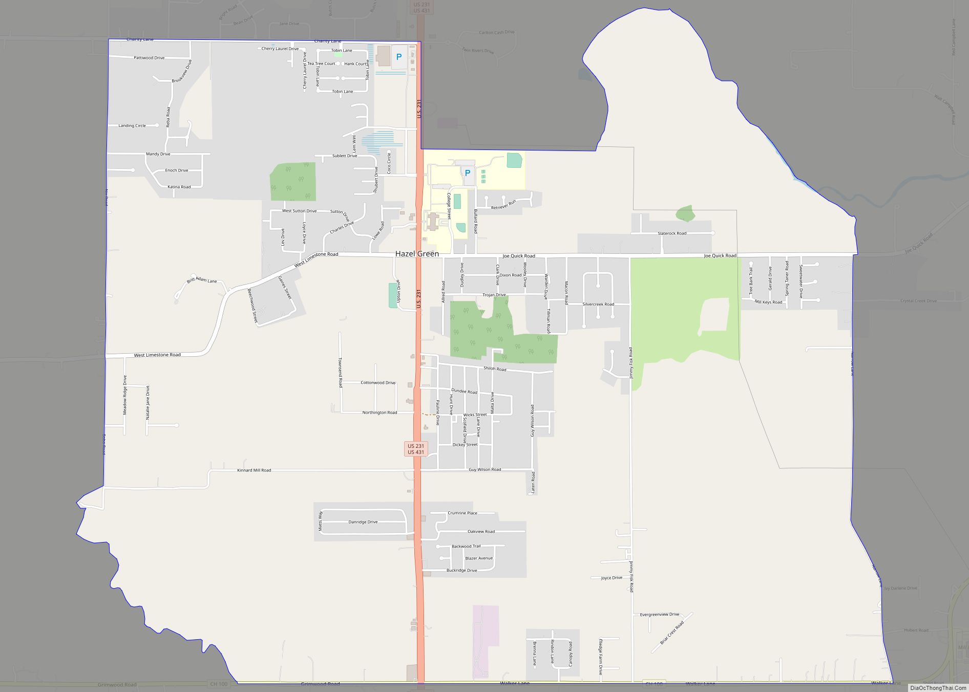
Online Interactive Map
Click on ![]() to view map in "full screen" mode.
to view map in "full screen" mode.
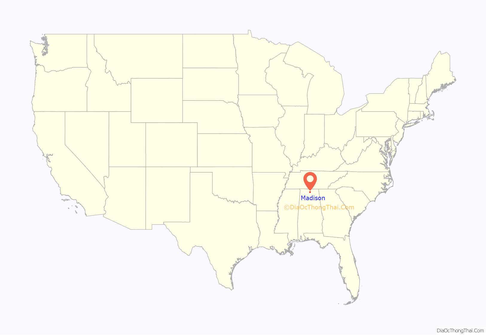
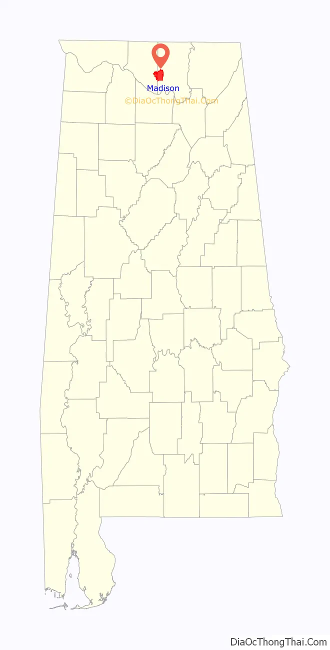
Madison location map. Where is Madison city?
History
The area was occupied historically by the Koasati (also known as Coushatta), a Muskogean-speaking people. Before them were thousands of years of indigenous cultures.
Madison’s first European-American resident was John Cartwright, who settled in the area in 1818. The city was originally known as “Madison Station”, as it developed in the 1850s around a stop of the Memphis & Charleston Railroad. Textile mills were built in the area in the late 19th century for processing and manufacture of cotton products.
Madison was the site of a battle in the American Civil War. On May 17, 1864, Col. Josiah Patterson’s 5th Alabama Cavalry, supported by Col. James H. Stuart’s cavalry battalion and a section of horse artillery, drove Col. Adam G. Gorgas’s 13th Illinois Infantry Regiment from the city. Patterson’s men captured the 13th Illinois Regiment’s wagon train, taking 66 prisoners. They also burned Union supplies and tore up the railroad tracks before retreating. Portions of the 5th Ohio Cavalry, the 59th Indiana Infantry, and the 5th Iowa Infantry were sent in pursuit from Huntsville. They skirmished with Patterson’s rear guard that evening at Fletcher’s Ferry on the Tennessee River south of Madison.
The town was incorporated in 1869. From 1880 to 1950, rural Madison had a population of some 400-500 residents.
In the World War II and postwar period, military and NASA operations were moved to Huntsville, stimulating an increase in population in the region. Subsidized highways stimulated suburbanization, attracting residents to outlying areas where new homes were built. By 1980, Madison’s population was 4,057. In the late 20th century, Madison’s population increased rapidly as it developed as a suburb of Huntsville. In 1986, Madison voters overwhelmingly voted to remain independent by not merging with Huntsville. By 2010 its population had grown to 42,938, and over the following ten years it grew to a population of 56,933.
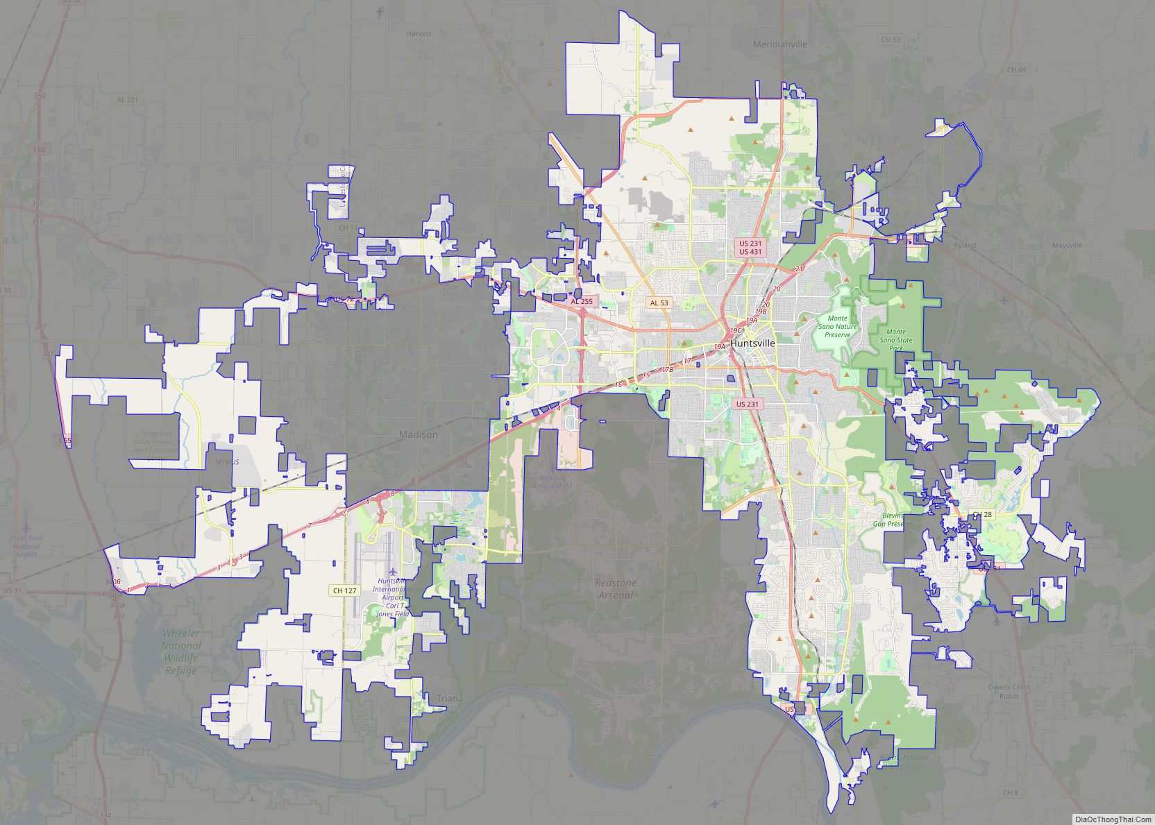
Madison Road Map
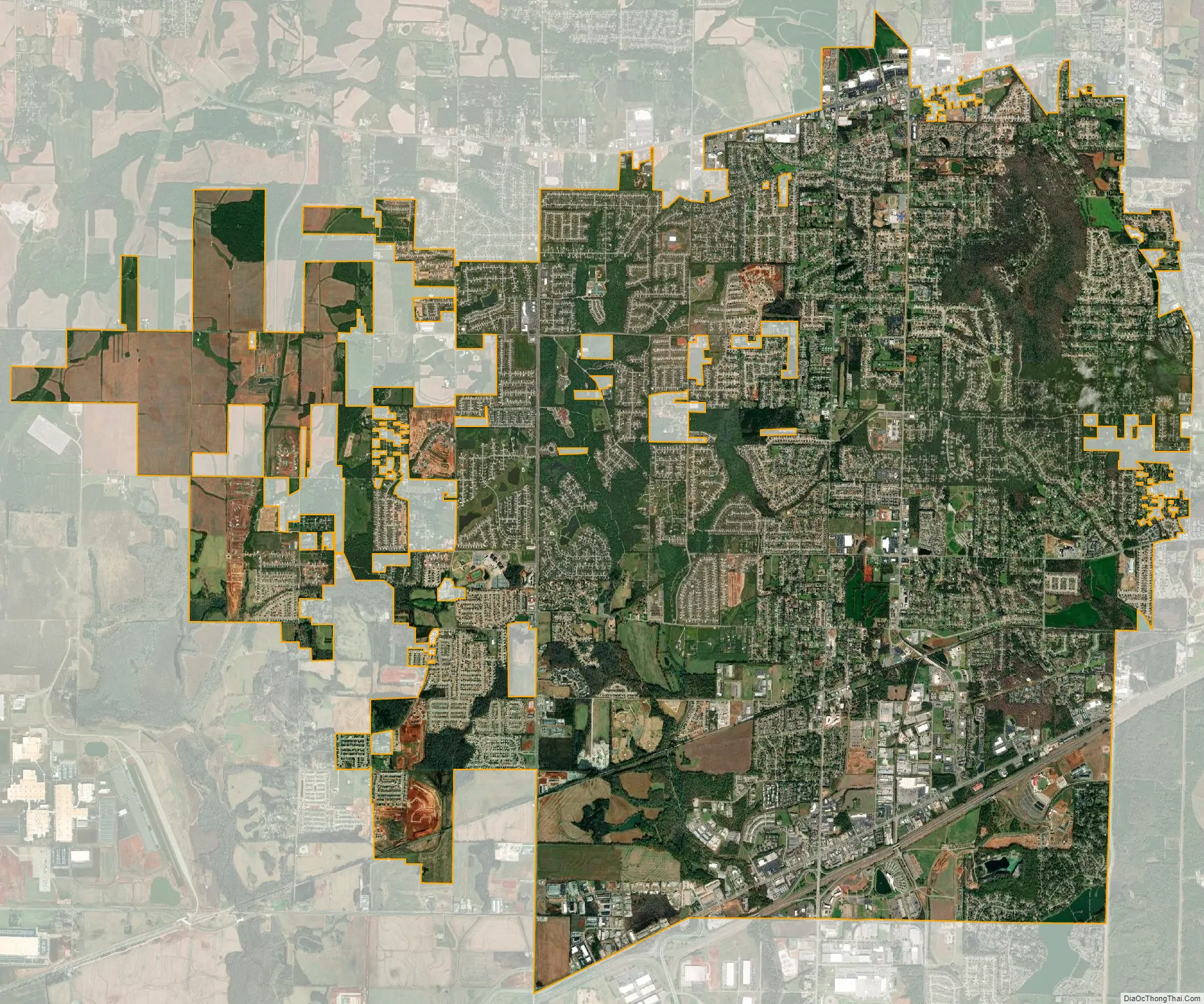
Madison city Satellite Map
Geography
According to the U.S. Census Bureau, the city has a total area of 30.5 square miles (79.0 km), of which 30.3 square miles (78.6 km) are land and 0.1 square miles (0.3 km), or 0.43%, are water.
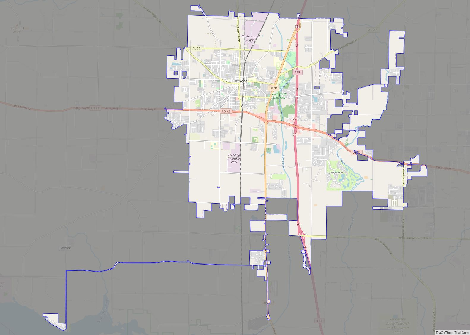
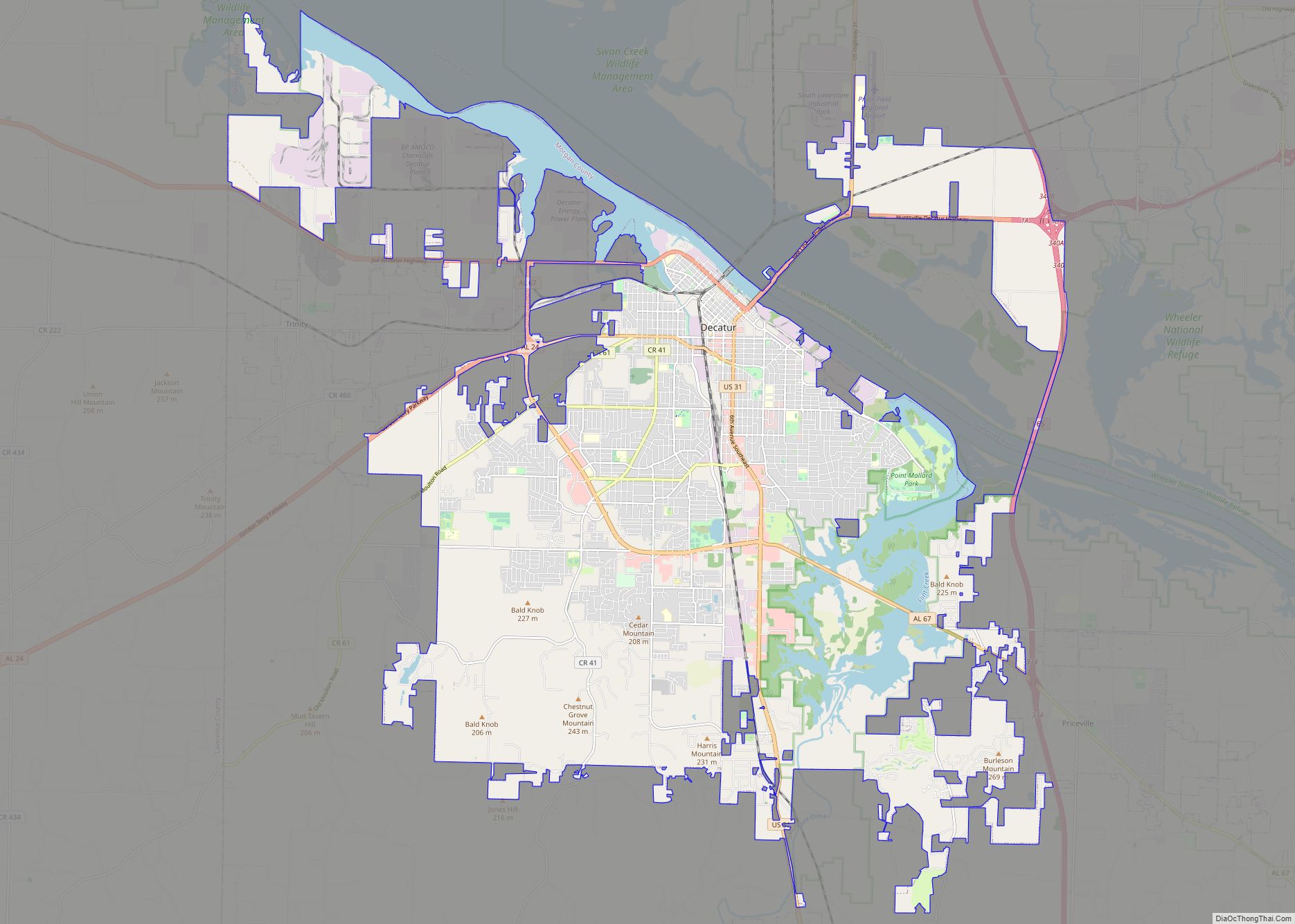
Madison is located at 34°42′54″N 86°44′23″W / 34.71500°N 86.73972°W / 34.71500; -86.73972 (34.715065, -86.739644), primarily within Madison County, while extending west into Limestone County. Downtown Huntsville is 11 miles (18 km) east of the center of Madison, although Huntsville also borders Madison to the south and west. Athens is 17 miles (27 km) to the northwest, and Decatur is 16 miles (26 km) to the southwest, across the Tennessee River.
See also
Map of Alabama State and its subdivision:- Autauga
- Baldwin
- Barbour
- Bibb
- Blount
- Bullock
- Butler
- Calhoun
- Chambers
- Cherokee
- Chilton
- Choctaw
- Clarke
- Clay
- Cleburne
- Coffee
- Colbert
- Conecuh
- Coosa
- Covington
- Crenshaw
- Cullman
- Dale
- Dallas
- De Kalb
- Elmore
- Escambia
- Etowah
- Fayette
- Franklin
- Geneva
- Greene
- Hale
- Henry
- Houston
- Jackson
- Jefferson
- Lamar
- Lauderdale
- Lawrence
- Lee
- Limestone
- Lowndes
- Macon
- Madison
- Marengo
- Marion
- Marshall
- Mobile
- Monroe
- Montgomery
- Morgan
- Perry
- Pickens
- Pike
- Randolph
- Russell
- Saint Clair
- Shelby
- Sumter
- Talladega
- Tallapoosa
- Tuscaloosa
- Walker
- Washington
- Wilcox
- Winston
- Alabama
- Alaska
- Arizona
- Arkansas
- California
- Colorado
- Connecticut
- Delaware
- District of Columbia
- Florida
- Georgia
- Hawaii
- Idaho
- Illinois
- Indiana
- Iowa
- Kansas
- Kentucky
- Louisiana
- Maine
- Maryland
- Massachusetts
- Michigan
- Minnesota
- Mississippi
- Missouri
- Montana
- Nebraska
- Nevada
- New Hampshire
- New Jersey
- New Mexico
- New York
- North Carolina
- North Dakota
- Ohio
- Oklahoma
- Oregon
- Pennsylvania
- Rhode Island
- South Carolina
- South Dakota
- Tennessee
- Texas
- Utah
- Vermont
- Virginia
- Washington
- West Virginia
- Wisconsin
- Wyoming