Marion County is a county in the U.S. state of West Virginia. As of the 2020 census, the population was 56,205. Its county seat is Fairmont. The county was named in honor of General Francis Marion (ca. 1732–1795), known to history as “The Swamp Fox”.
Marion County comprises the Fairmont, WV Micropolitan Statistical Area, which is part of the larger Morgantown–Fairmont, WV Combined Statistical Area.
| Name: | Marion County |
|---|---|
| FIPS code: | 54-049 |
| State: | West Virginia |
| Founded: | January 14, 1842 |
| Named for: | Francis Marion |
| Seat: | Fairmont |
| Largest city: | Fairmont |
| Total Area: | 312 sq mi (810 km²) |
| Land Area: | 309 sq mi (800 km²) |
| Total Population: | 56,205 |
| Population Density: | 180/sq mi (70/km²) |
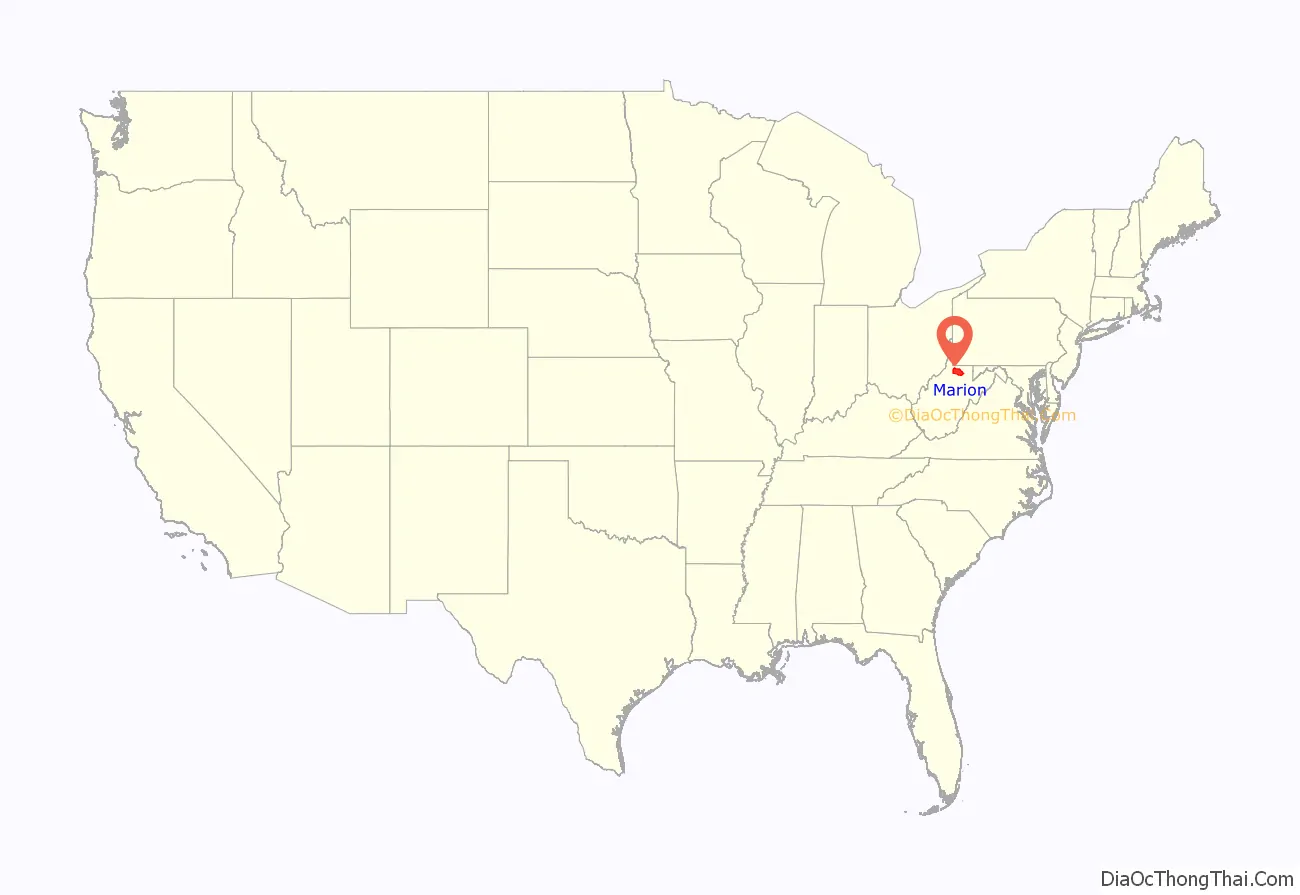
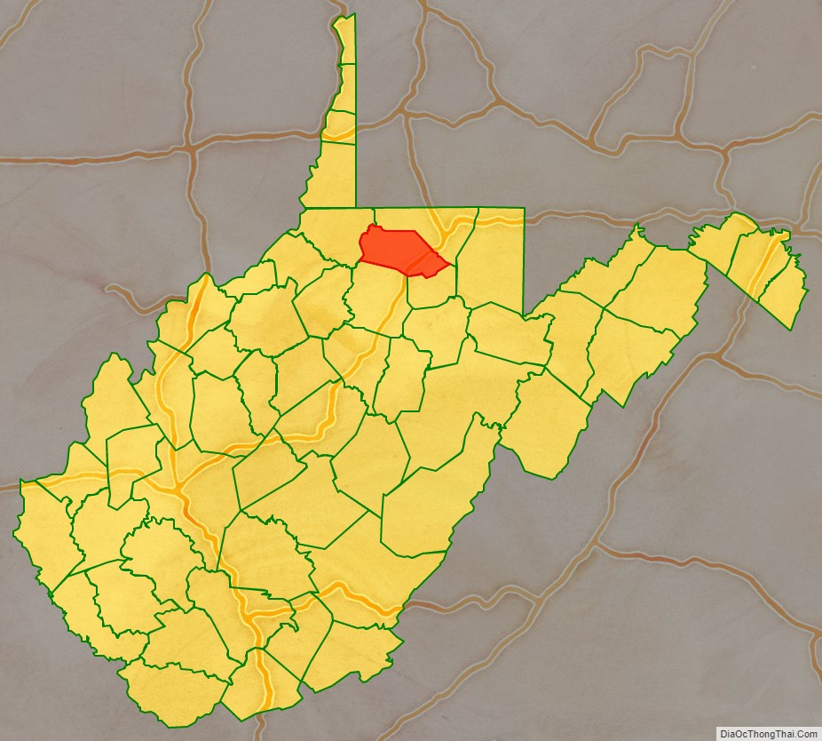
Marion County location map. Where is Marion County?
History
The Adena and successor Hopewell cultures flourished in this area at one time. The region which includes the land now known as Marion County was sparsely occupied by Native Americans, if at all, in the late 18th century. Like much of the Ohio Valley, it had been depopulated by the Iroquois during the later Beaver Wars (1670–1700). Only a few abortive attempts to start European settlements upon the Monongahela River or its branches (such as that which gave its name to Dunkard Creek) are known prior to the French and Indian War. It was not until 1772 that any permanent settlements were made in this region.
Marion County was created by an act of the Virginia Assembly on January 14, 1842, from parts of Monongalia and Harrison Counties. It was named after General Francis Marion, of American Revolutionary War fame, known to history as “The Swamp Fox”.
1852 was an eventful time in Marion County’s history, starting with the great flood on Monday, April 5. Heavy rains the day before caused the Monongahela and West Fork Rivers to rise at rate of 5 feet per hour until Tuesday afternoon, when the water reached 43 feet above its normal level. The greatest damage was sustained on the West Fork, where over 40 houses and buildings were swept away and floated past Fairmont.
The flood damaged the railroad, which was in the final stages of being completed. By June 23 the Baltimore and Ohio Railroad was completed, connecting Fairmont to the west and to large cities in the east like Baltimore. The railroad required the building of a bridge to cross the Monongahela River about 1 mile west of Fairmont. This was achieved by building a massive iron bridge spanning 650 feet and lifted 35 feet above the water.
The third major event of the year 1852 was the completion of the Fairmont and Palatine suspension bridge, connecting Fairmont to what was then the town of Palatine. The bridge was built under the direction of James L. Randolph, assistant engineer of the Baltimore and Ohio Railroad, at a cost of about thirty thousand dollars.
Marion was one of fifty Virginia counties that were admitted to the Union as the state of West Virginia on June 20, 1863, at the height of the Civil War. In the months that followed, West Virginia’s counties were divided into civil townships, with the intention of encouraging local government. This proved impractical in the heavily rural state, and in 1872 the townships were converted into magisterial districts. Marion County was divided into seven districts: Fairmont, Grant, Lincoln, Mannington, Paw Paw, Union, and Winfield. In the 1980s, the historic magisterial districts were consolidated into three new districts: Middletown, Palatine, and West Augusta.
Marion County Road Map
Geography
According to the United States Census Bureau, the county has a total area of 312 square miles (810 km), of which 309 square miles (800 km) is land and 2.8 square miles (7.3 km) (0.9%) is water.
Major highways
- Interstate 79
- U.S. Highway 19
- U.S. Highway 250
- West Virginia Route 218
- West Virginia Route 273
- West Virginia Route 310
Adjacent counties
- Monongalia County (north)
- Taylor County (southeast)
- Harrison County (south)
- Wetzel County (west)
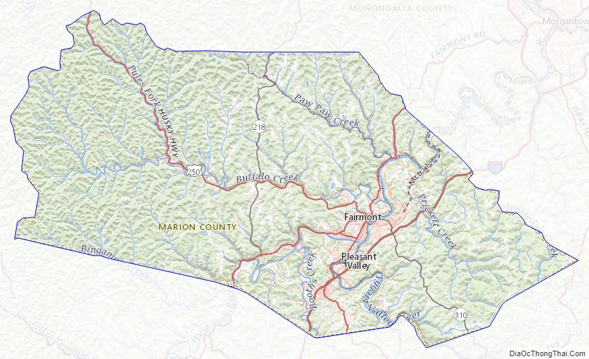
Marion County Topographic Map
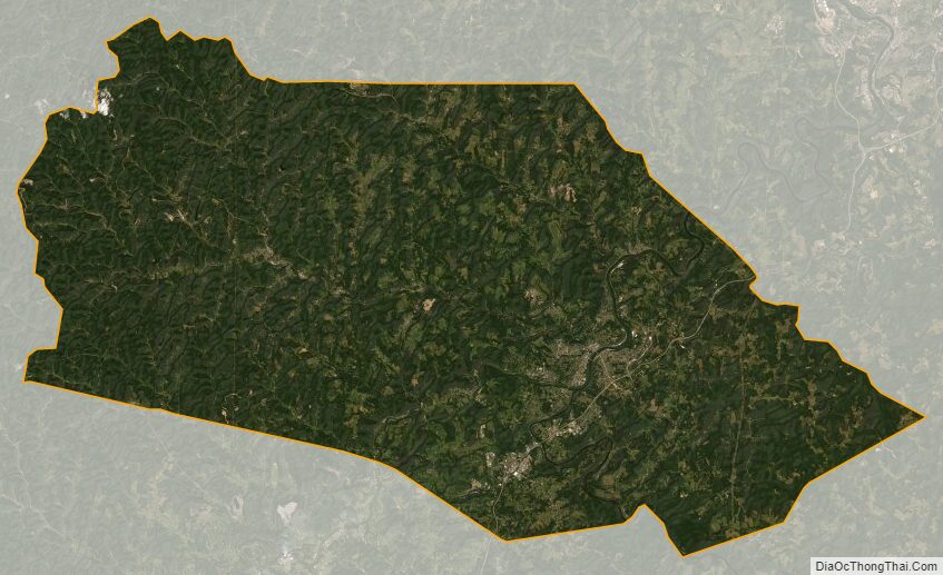
Marion County Satellite Map
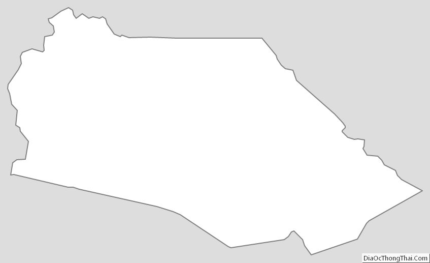
Marion County Outline Map