Taylor County is a county in the U.S. state of West Virginia. As of the 2020 census, the population was 16,705. Its county seat is Grafton. The county was formed in 1844 and named for Senator John Taylor of Caroline.
Taylor County is part of the Clarksburg, WV Micropolitan Statistical Area.
| Name: | Taylor County |
|---|---|
| FIPS code: | 54-091 |
| State: | West Virginia |
| Founded: | January 19, 1844 |
| Named for: | John Taylor of Caroline |
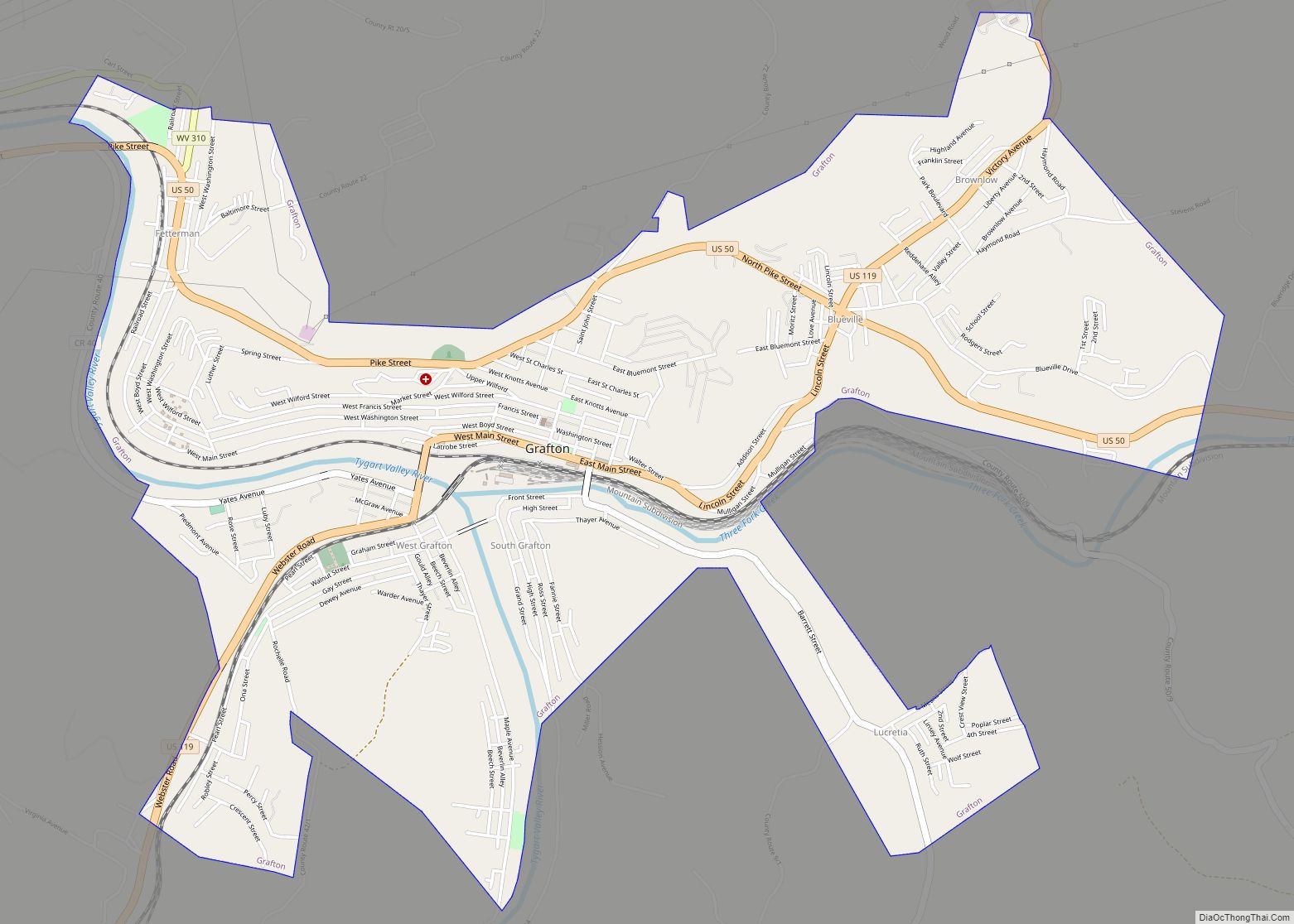
| Seat: | Grafton |
| Largest city: | Grafton |
| Total Area: | 176 sq mi (460 km²) |
| Land Area: | 173 sq mi (450 km²) |
| Total Population: | 16,705 |
| Population Density: | 95/sq mi (37/km²) |
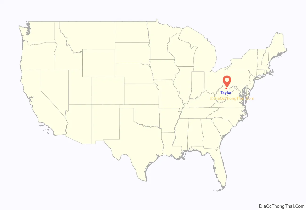
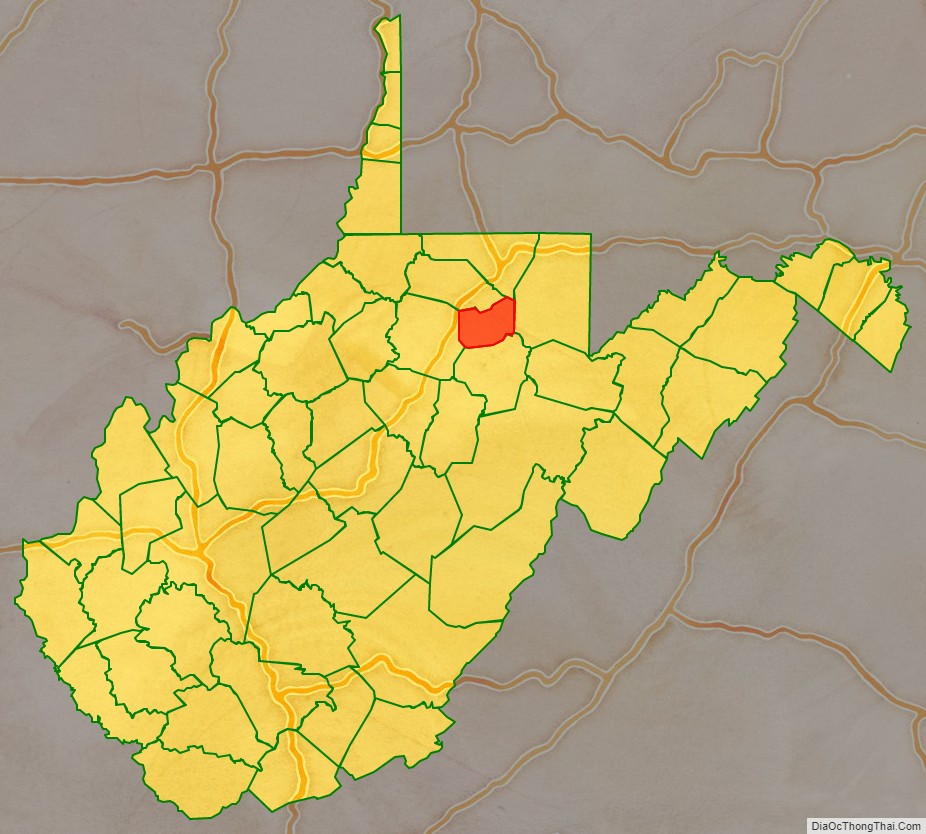
Taylor County location map. Where is Taylor County?
History
This area was populated by the Adena culture in the Pre-Columbian Woodland period of the Native Americans in the United States.
Some of the first Europeans to visit the area are thought to have been British Army deserters from Fort Pitt, who reportedly fled their post in 1761 during the French and Indian War and roamed northwestern Virginia for several years thereafter. A European trader with the Hudson’s Bay Company reportedly set foot in these lands as early as 1764.
Pruntytown is the oldest (ca. 1798) known white settlement in what is now Taylor County. Initially known as Cross Roads, on January 1, 1801, it was renamed Williamsport in honor of Abraham Williams, a longtime resident. The name was changed again on January 23, 1845, to honor pioneer settler John Prunty, Sr (1745-1823) and son David. This town served as the county seat of government from the county’s founding in 1844 until a county election in 1878 moved that honor to Grafton, West Virginia.
The county was established by the Virginia General Assembly on January 19, 1844. It was formed out of parts of Barbour, Harrison, and Marion counties in Virginia. Most historians think the county was named after John Taylor (1753-1824) of Caroline County, Virginia, while a minority believe it was named after Zachary Taylor. Fifteen justices were appointed by Governor James McDowell to organize the newly formed county: John Asbury, Frederick Burdett, Dr. Joseph L. Carr, John Cather, John A. Guseman, Nathan Hall, Calder Haymond, Absalom Knotts, John Leeper, Charles W. Newlon, Jonathan Poe, Robert Reed, Joshua A. Robinson, William A. Rogers, and Benjamin Sinclair.
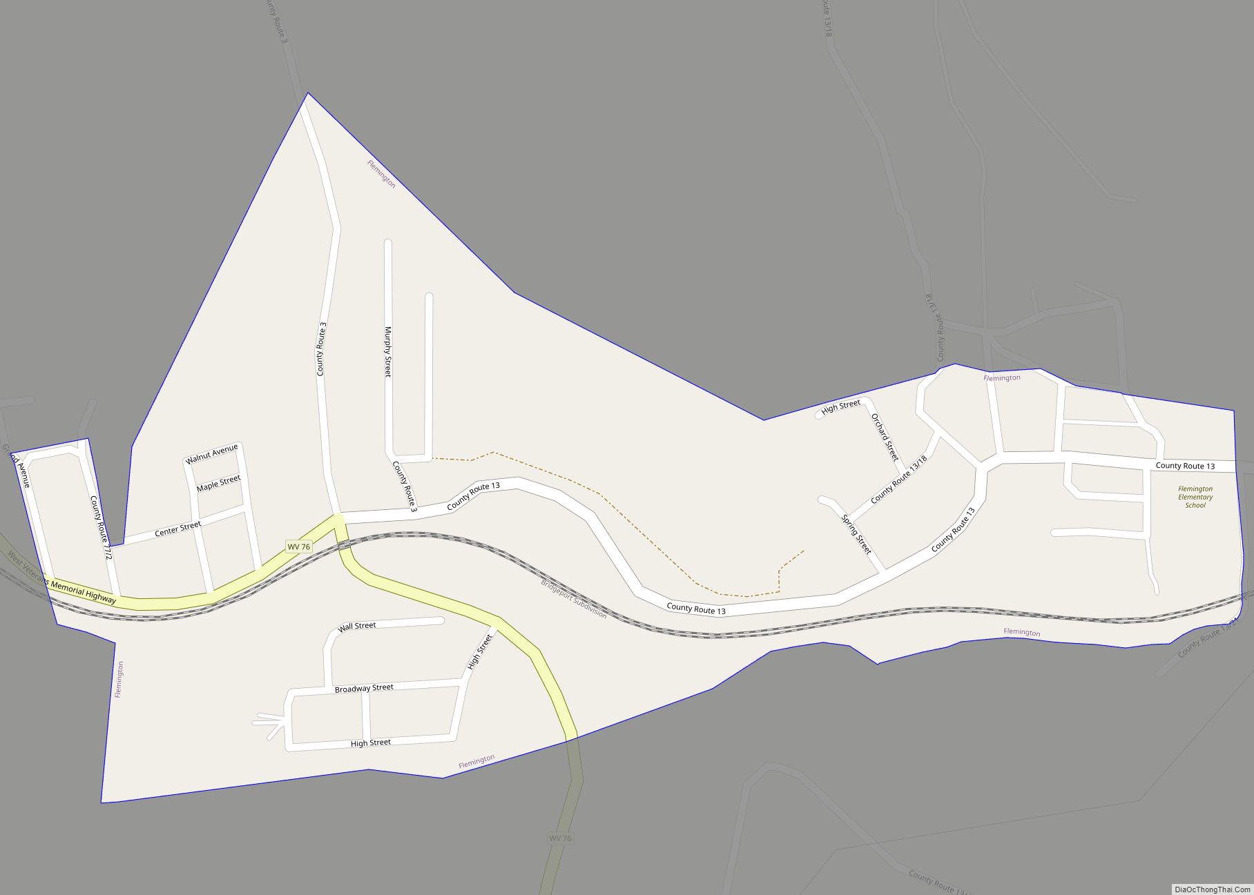
On June 20, 1863, at the height of the Civil War, Taylor was one of fifty Virginia counties that were admitted to the Union as the state of West Virginia. Later that year, the counties were divided into civil townships, with the intention of encouraging local government. This proved impractical in the heavily rural state, and in 1872 the townships were converted into magisterial districts. Taylor County was initially divided into nine townships: Booths Creek, Clay, Court House, Fetterman, Flemington, Grafton, Haymond, Union, and Webster. Grafton Township was co-extensive with the town of Grafton.
In 1871, Union Township was annexed by Grafton Township; the following year, Clay and Webster Townships were annexed by Court House Township, Haymond was annexed by Fetterman, and the five remaining townships were converted to magisterial districts. In the 1880s, Knottsville District was created from the part of Grafton District that lay outside the town of Grafton. Except for minor adjustments, the six historic districts remained largely unchanged for the next ninety years, until in the 1970s they were consolidated into three new magisterial districts: Central, Eastern, and Western. In the 1990s, Central District was renamed, becoming Tygart.
The West Virginia Equal Suffrage Association was founded in November 1895 at the Taylor County Courthouse after a meeting called by leaders of the National American Woman Suffrage Association.
Anna Jarvis, the founder of the Mother’s Day, was a native of Taylor County, which is now home to the International Mother’s Day Shrine.
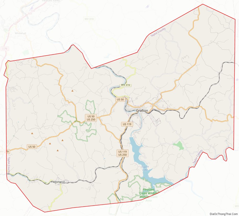
Taylor County Road Map
Geography
According to the United States Census Bureau, the county has a total area of 176 square miles (460 km), of which 173 square miles (450 km) is land and 2.9 square miles (7.5 km) (1.7%) is water. It is the fifth-smallest county in West Virginia by area.
Major highways
- U.S. 50
- U.S. 119
- U.S. 250
- WV 76
- WV 310
Adjacent counties
- Monongalia County (north)
- Preston County (east)
- Barbour County (south)
- Harrison County (west)
- Marion County (northwest)
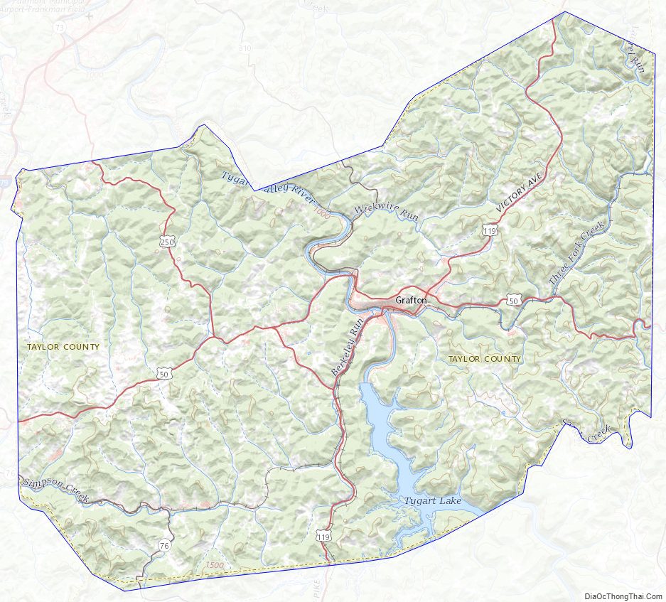
Taylor County Topographic Map
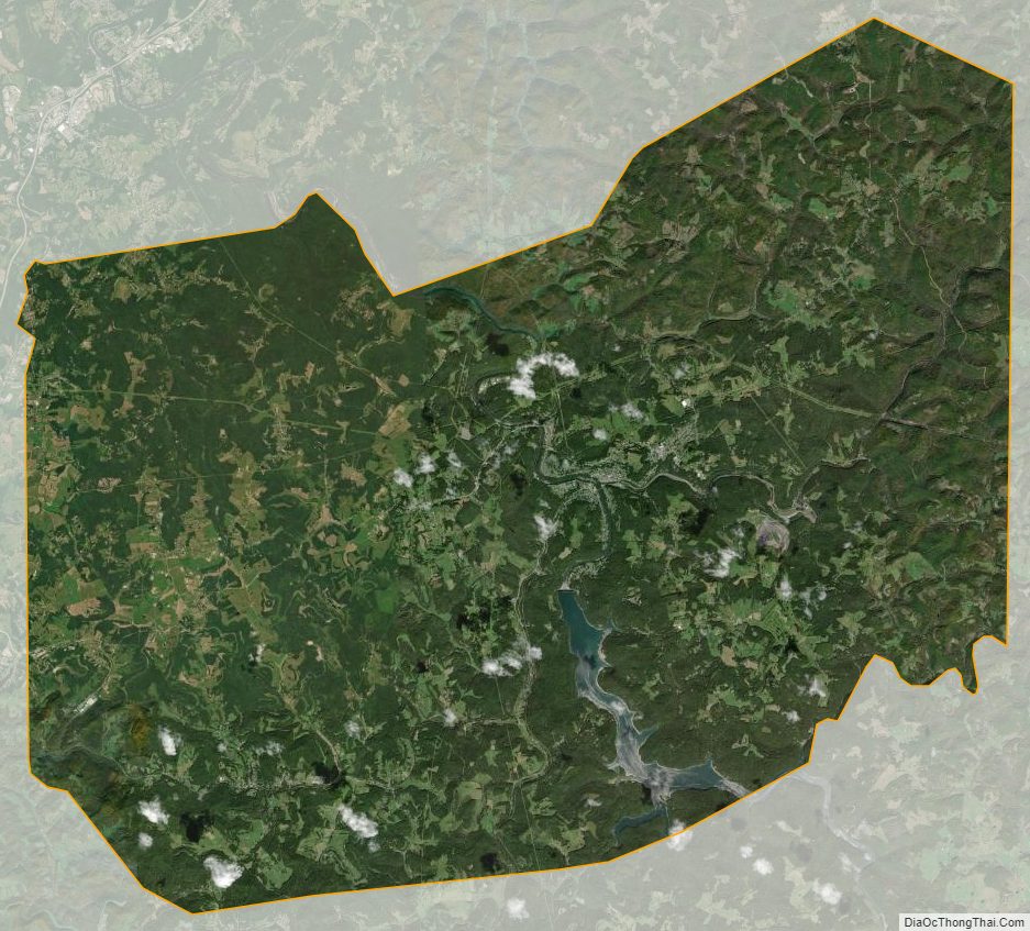
Taylor County Satellite Map
Taylor County Outline Map