| Name: | Monongalia County |
|---|---|
| FIPS code: | 54-061 |
| State: | West Virginia |
| Founded: | October 9, 1776 |
| Seat: | Morgantown |
| Largest city: | Morgantown |
| Total Area: | 366 sq mi (950 km²) |
| Land Area: | 360 sq mi (900 km²) |
| Total Population: | 105,822 |
| Population Density: | 296/sq mi (114/km²) |
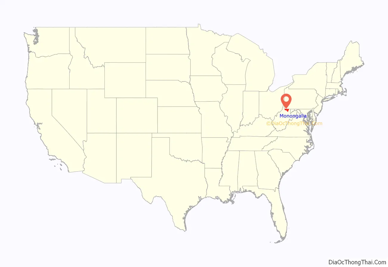
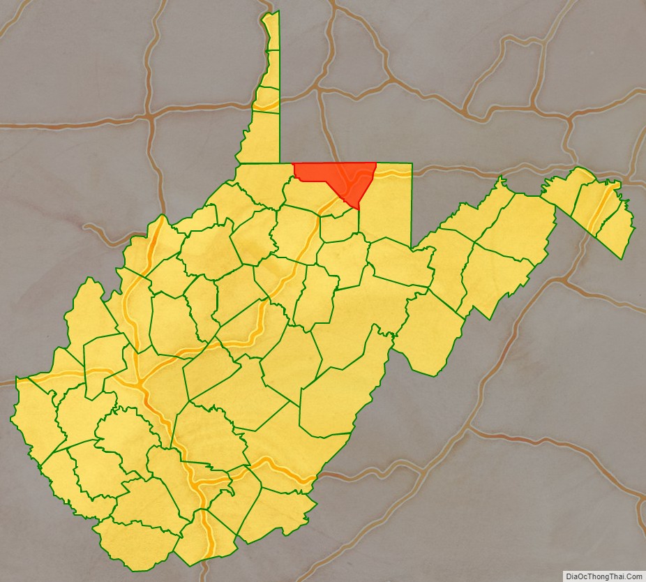
Monongalia County location map. Where is Monongalia County?
History
Monongalia County takes its name from the Monongahela River. The name Monongalia may be a misspelling of Monongahela. Alternatively, the conventional Latinate ending “-ia” (designating “land of…” or “country of…” — as in Arabia, Bolivia or Colombia) may have been added to Monongahela (i.e., “Land of the Monongahela”).
Monongalia County was formed in 1776 when Virginia‘s remote District of West Augusta was divided into three counties: Ohio, Yohogania and Monongalia, all named for their most prominent rivers. Ohio County then encompassed most of the western region of the district bordering the Ohio River, including parts of what is now southwestern Pennsylvania. Yohogania County consisted of much of what is now southwestern Pennsylvania and the present counties of Hancock and the northern part of Brooke in West Virginia. Monongalia County also encompassed what are now the counties of Tucker, Randolph, Harrison and Barbour in north-central West Virginia, as well as parts of what are now Washington, Greene and Fayette Counties in Pennsylvania. In 1780, in his Notes on the State of Virginia, Thomas Jefferson gave the militia enrollment of what was then the vast Monongalia County at 1,000 troops.
In 1863, West Virginia’s counties were divided into civil townships, with the intention of encouraging local government. This proved impractical in the heavily rural state, and in 1872 the townships were converted into magisterial districts. Monongalia County was divided into seven districts: Battelle, Cass, Clay, Clinton, Grant, Morgan, and Union. After a century of relative stability, in the 1970s Monongalia’s seven historic magisterial districts were consolidated into three new Districts: Central, Eastern, and Western.
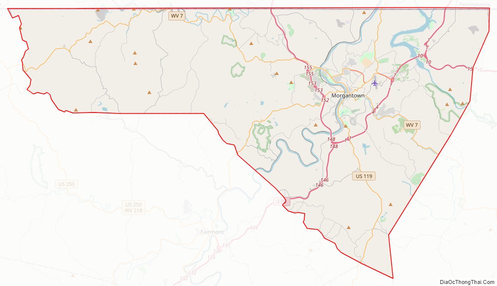
Monongalia County Road Map
Geography
Adjacent counties
- Fayette County, Pennsylvania (northeast)
- Greene County, Pennsylvania (north)
- Marion County (south)
- Preston County (east)
- Taylor County (southeast)
- Wetzel County (west)
Major Highways
- I-68
- I-79
- US 19
- US 119
- WV 7
- WV 43
- WV 100
- WV 218
- WV 705
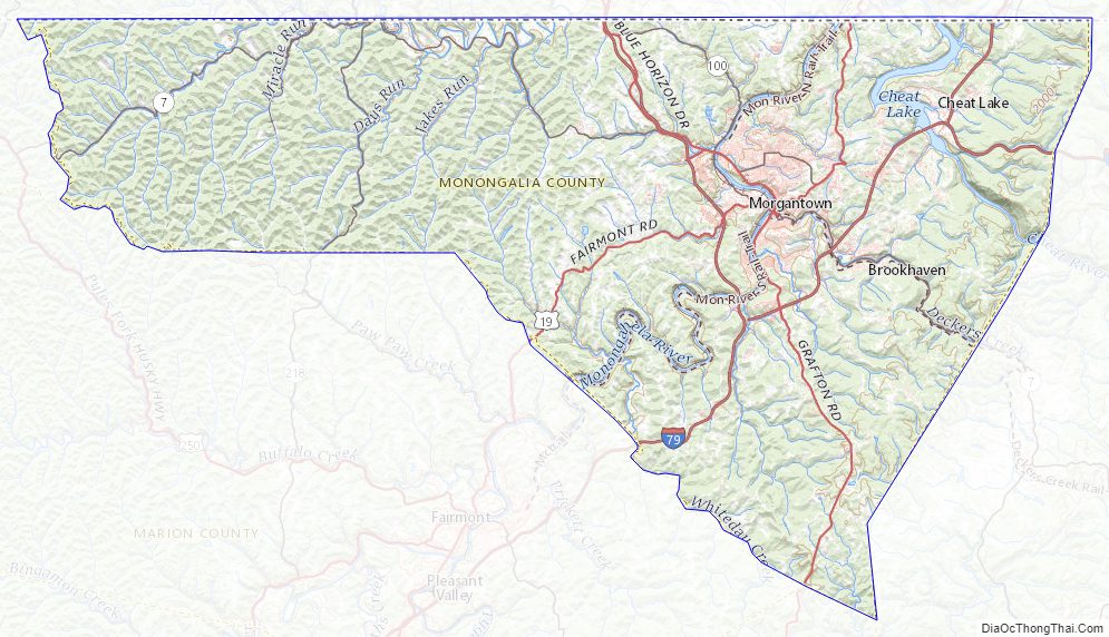
Rivers, streams, and lakes
- Monongahela River
- Cheat River
- Deckers Creek
- Cam Harker Spring
- Cheat Lake
- Dunkard Creek
- Aarons Creek
Monongalia County Topographic Map
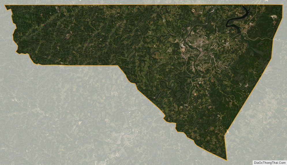
Monongalia County Satellite Map
Monongalia County Outline Map