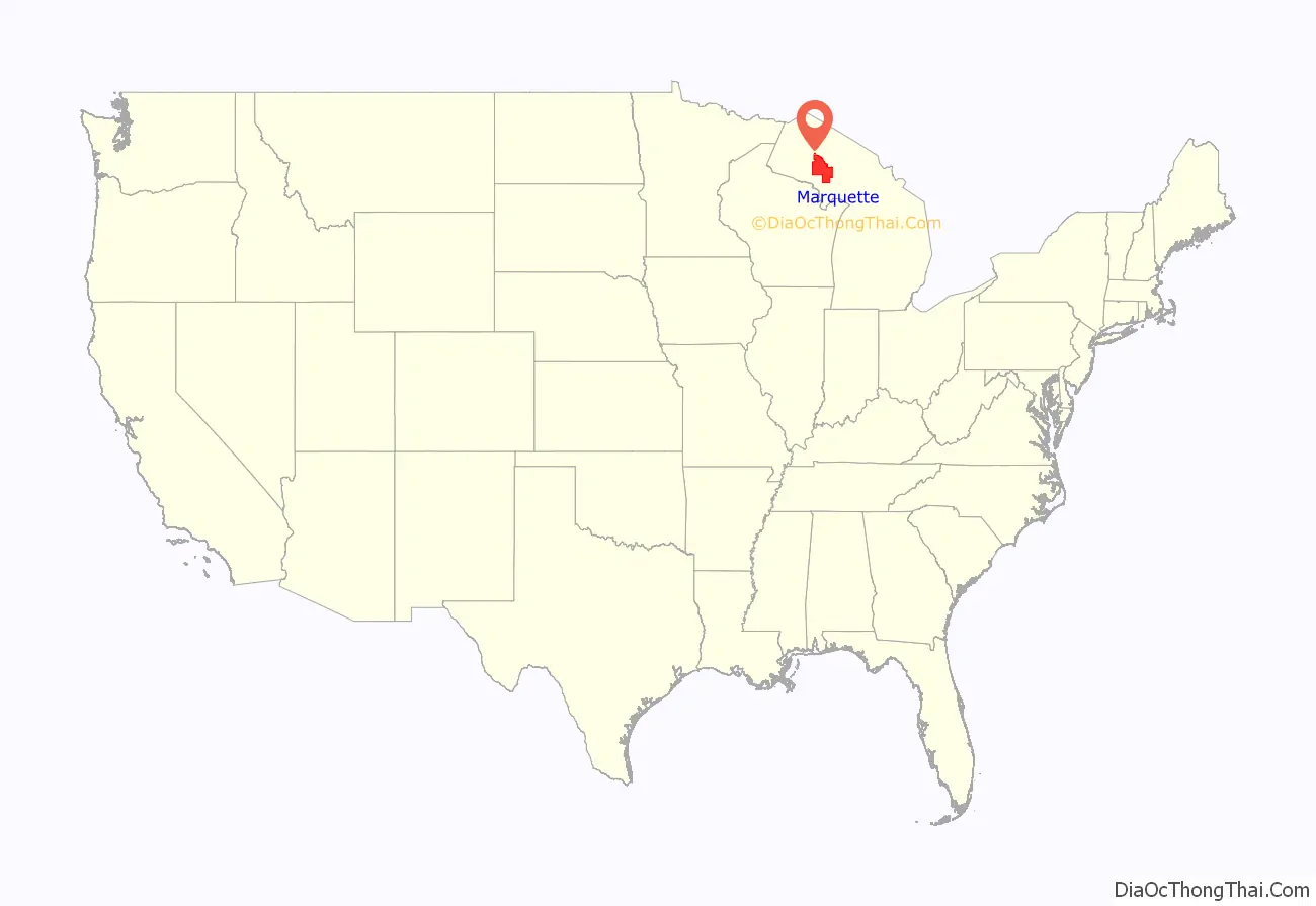
Marquette County (/mɑːrˈkɛt/ mar-KEHT) is a county located in the Upper Peninsula of the U.S. state of Michigan. As of the 2020 Census, the population was 66,017. The county seat is Marquette. The county is named for Father Marquette, a Jesuit missionary. It was set off in 1843 and organized in 1851. Marquette County is the largest county in land area in Michigan, and the most populous county in the Upper Peninsula of Michigan.
Marquette County comprises the Marquette, MI Micropolitan Statistical Area.
| Name: | Marquette County |
|---|---|
| FIPS code: | 26-103 |
| State: | Michigan |
| Founded: | March 9, 1843, organized 1851 |
| Named for: | Jacques Marquette |
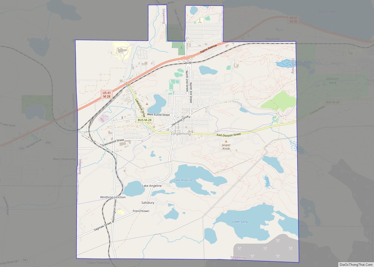
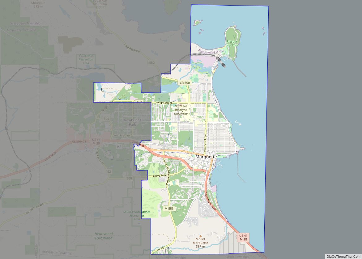
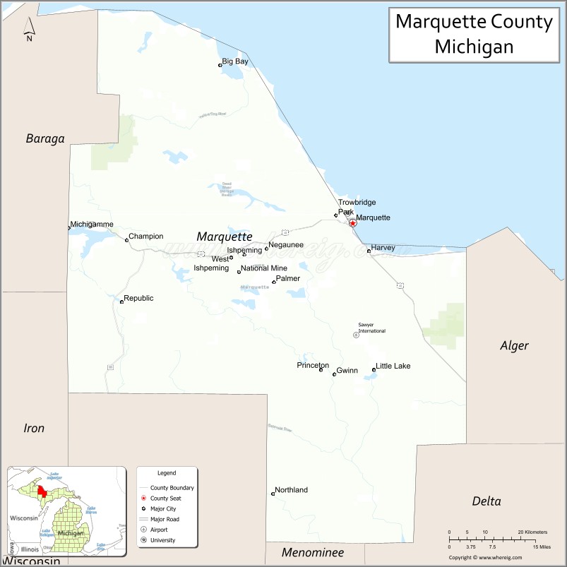
| Seat: | Marquette |
| Largest city: | Marquette |
| Total Area: | 3,425 sq mi (8,870 km²) |
| Land Area: | 1,808 sq mi (4,680 km²) |
| Total Population: | 66,017 |
| Population Density: | 37/sq mi (14/km²) |
| Time zone: | UTC−5 (Eastern) |
| Summer Time Zone (DST): | UTC−4 (EDT) |
| Website: | www.co.marquette.mi.us |
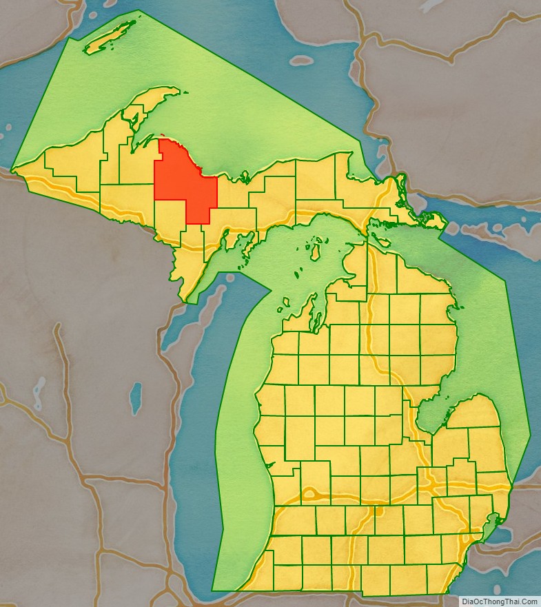
Marquette County location map. Where is Marquette County?
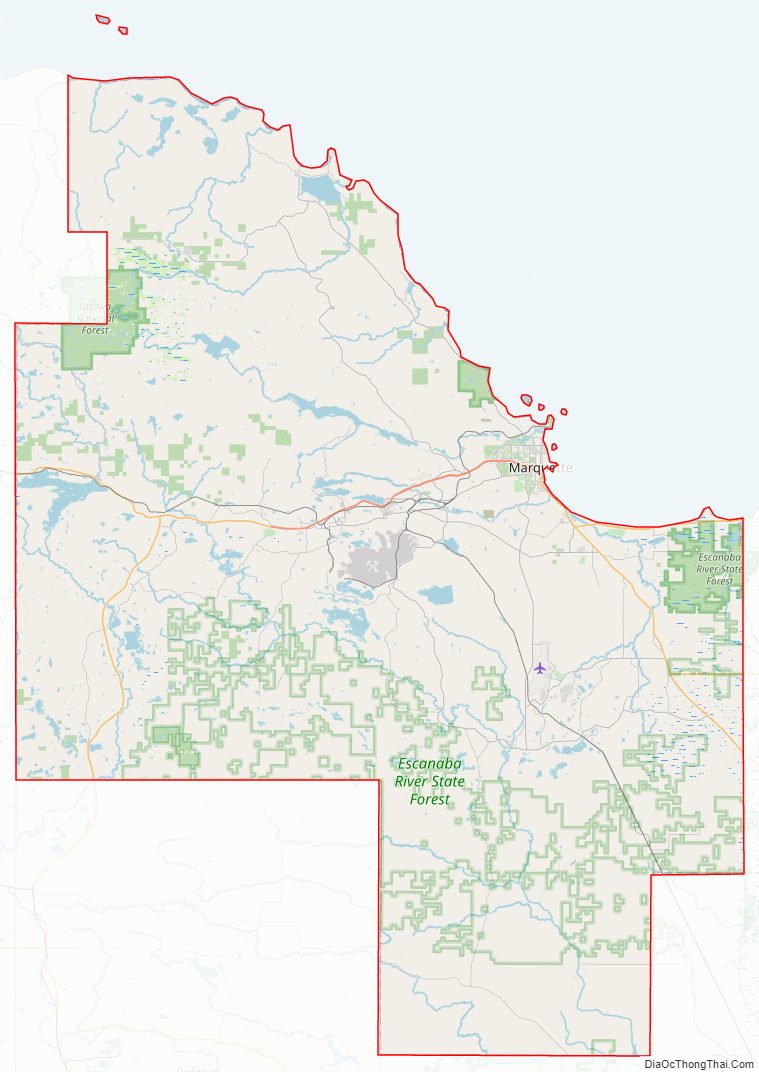
Marquette County Road Map
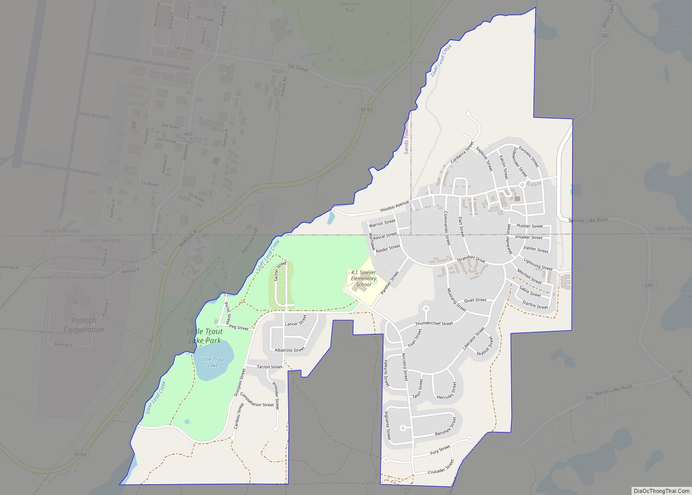
Geography
According to the United States Census Bureau, the county has a total area of 3,425 square miles (8,870 km), of which 1,808 square miles (4,680 km) is land and 1,616 square miles (4,190 km) (47%) is water. It is the largest county in Michigan by land area and fourth-largest by total area.
The Huron Mountains are located in the county. To the north of the county is Lake Superior.
Adjacent counties
- Alger County, east
- Delta County, southeast
- Menominee County, south/CT Border
- Dickinson County, south/CT Border
- Iron County, southwest/CT Border
- Baraga County, west
- Houghton County, northwest
- Keweenaw County, north
National protected areas
- Hiawatha National Forest (part)
- Huron National Wildlife Refuge
- Ottawa National Forest (part)
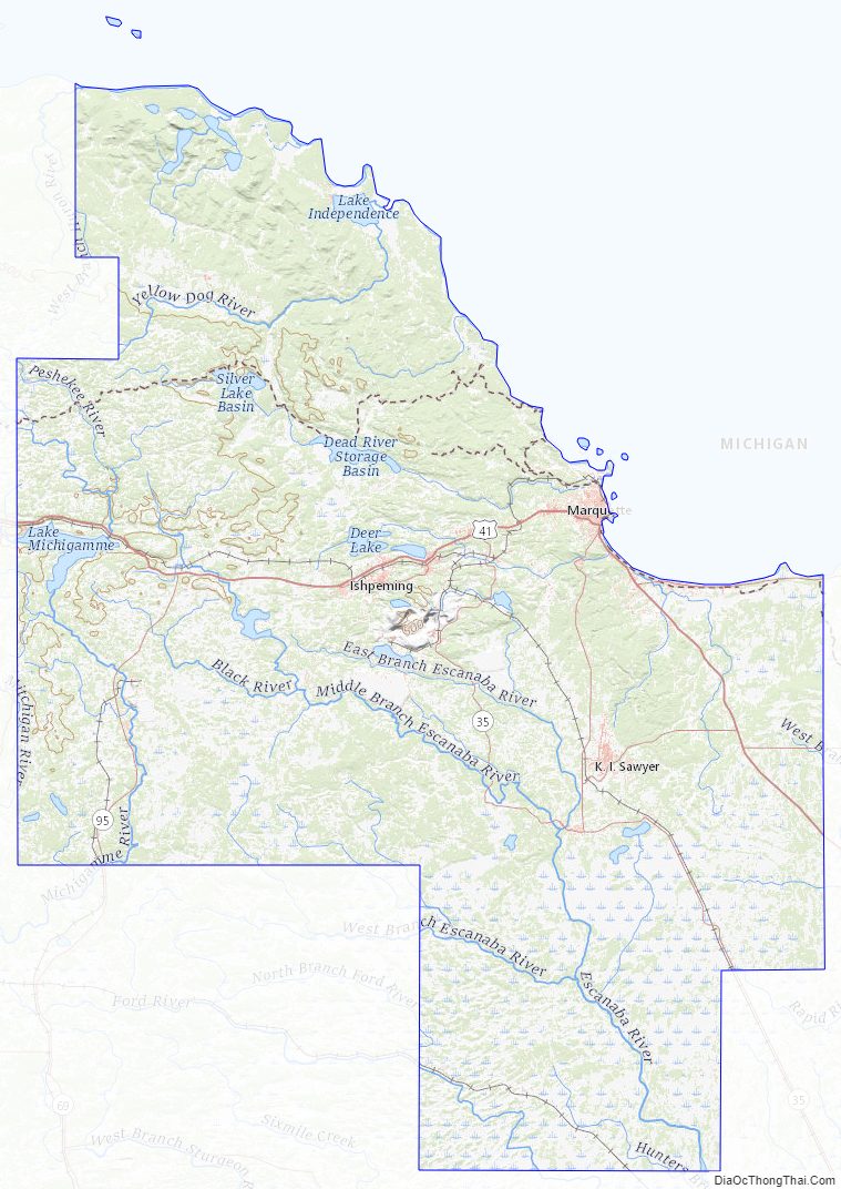
Marquette County Topographic Map
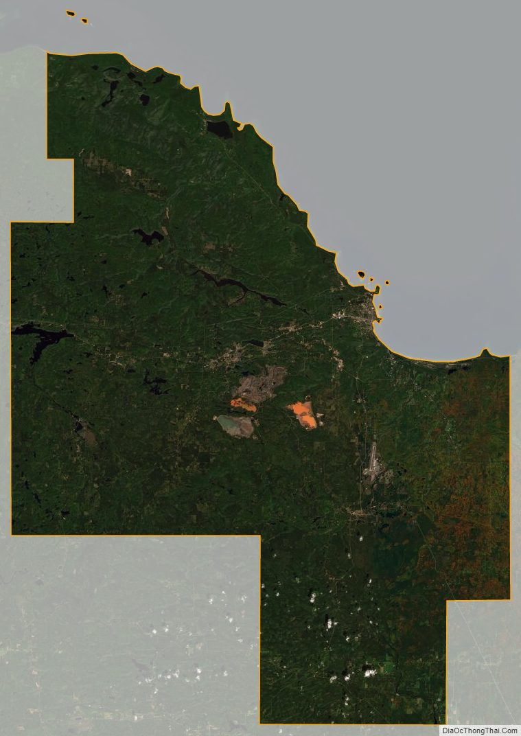
Marquette County Satellite Map
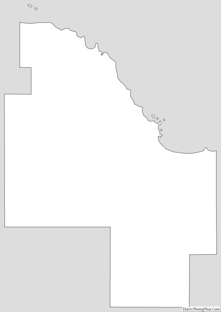
Marquette County Outline Map