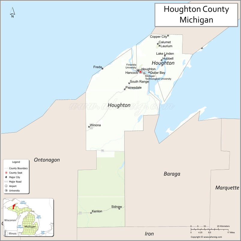
| Name: | Houghton County |
|---|---|
| FIPS code: | 26-061 |
| State: | Michigan |
| Founded: | 1845 |
| Named for: | Douglass Houghton |
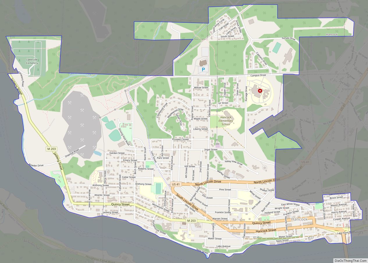
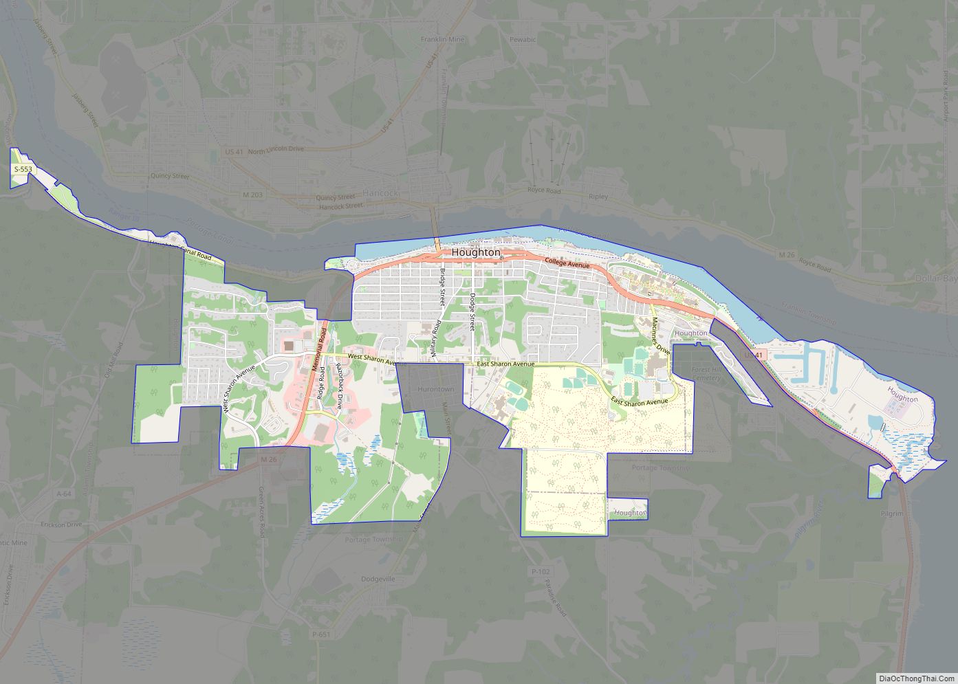
| Seat: | Houghton |
| Largest city: | Houghton |
| Total Area: | 1,502 sq mi (3,890 km²) |
| Land Area: | 1,009 sq mi (2,610 km²) |
| Total Population: | 37,361 |
| Population Density: | 36/sq mi (14/km²) |
| Time zone: | UTC−5 (Eastern) |
| Summer Time Zone (DST): | UTC−4 (EDT) |
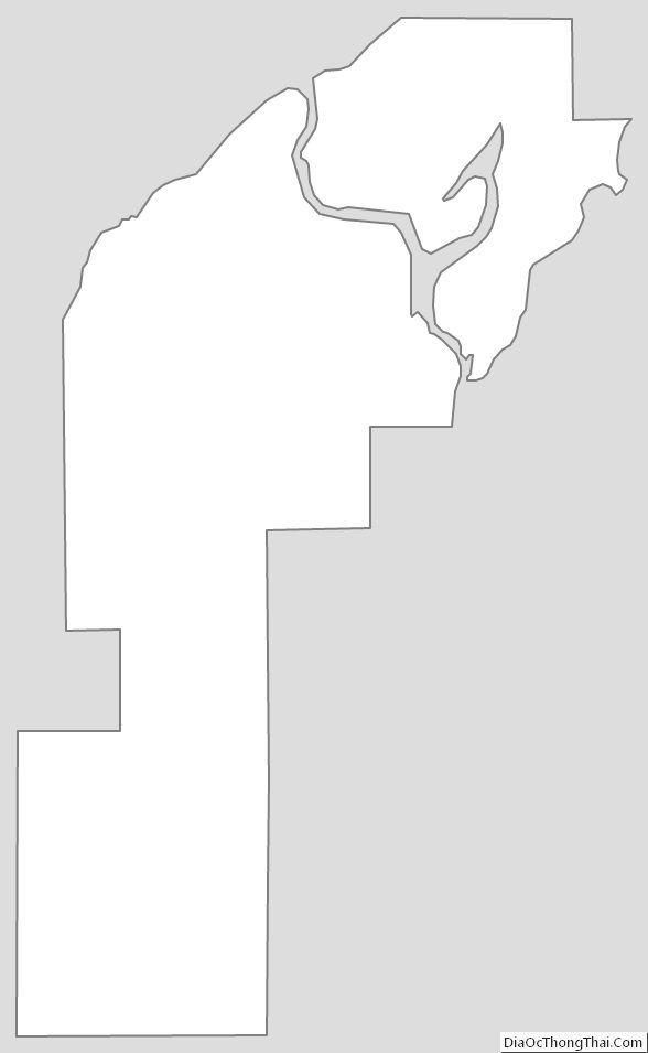
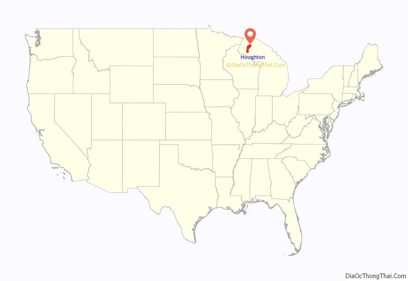
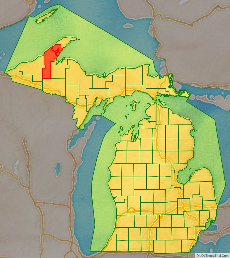
Houghton County location map. Where is Houghton County?
History
In 1843, the Upper Peninsula was divided into Mackinac, Chippewa, Marquette, Schoolcraft, Delta, and Ontonagon Counties. In 1845, Houghton County boundaries were defined, with areas partitioned from Marquette and Ontonagon Counties. The new county was named after Douglass Houghton, the new state’s first State Geologist, who extensively explored the Upper Peninsula’s mineralogy. The original boundaries of Houghton County included the future Keweenaw and Baraga Counties. In 1846, the county was organized into three townships: Eagle Harbor, Houghton, and L’Anse. Keweenaw County was set off from Houghton County in 1861 and Baraga County was set off in 1875.
Houghton County’s history is heavily marked by immigration. At one of the peaks of its population, the 1910 census had 40.6% of its population of 88,098 as foreign-born, with 89.3% of the population being either foreign-born or having at one or both of their parents as foreign-born. 70.6% of all voters were foreign-born, and only 5.1% of voters were native-born with native parents. This amalgam of immigrants from dozens of countries created a unique culture, especially once population growth stopped, and the county shrank in population to its current numbers. Heavily representative among many ethnicities were the Finnish. The 1910 census listed 13.1% of the residents being Finnish-born (out of the 32.3% total of the residents listed as foreign-born). The 2010 census lists almost the same proportion (32.5%) of the population as having Finnish ancestors.
Amid the Great Depression of the 1930s, a sharp increase in unemployment among workers in the mining and timber industries caused a pivot to potato production. For a brief time in the 1930s and 1940s, the region became a major exporter of potatoes within the United States.
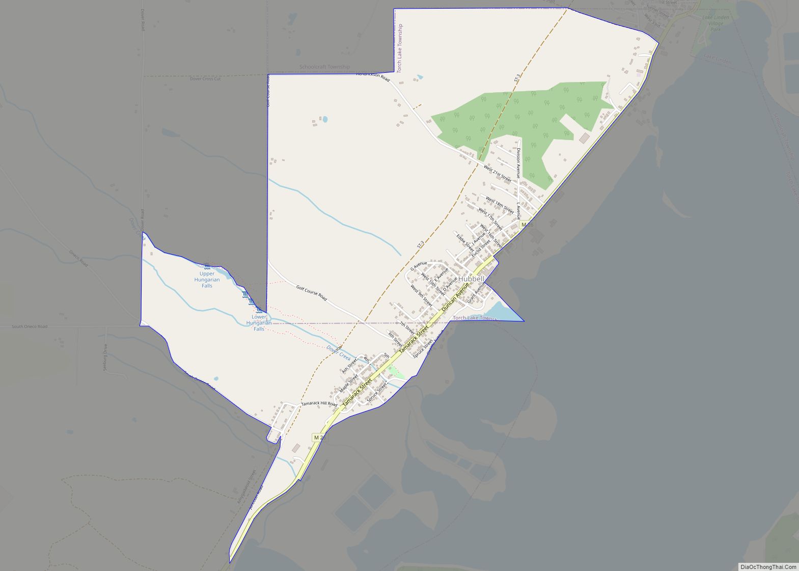
In June 2018, a major flash flood caused sinkholes and washouts in the towns of Chassell, Houghton, Ripley, Lake Linden, and Hubbell.
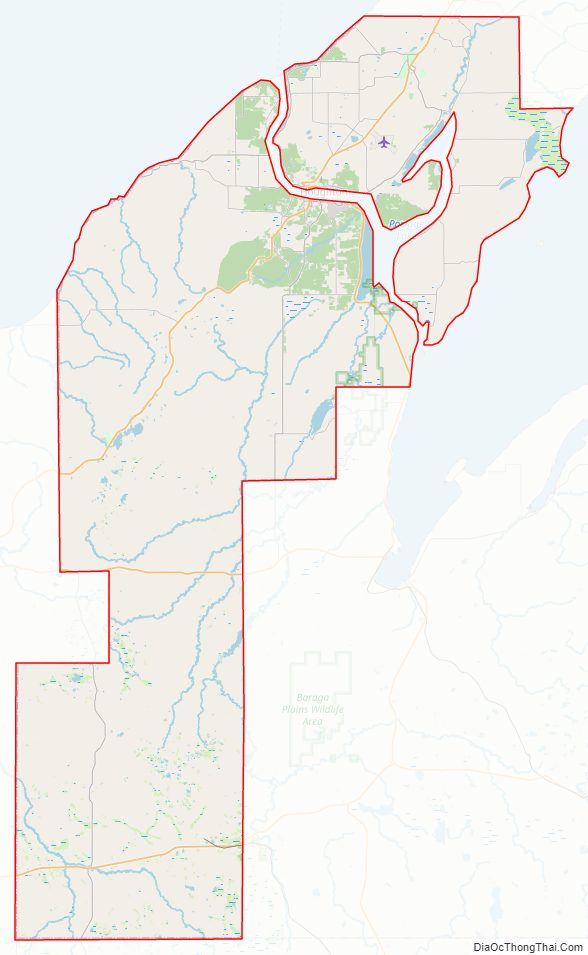
Houghton County Road Map
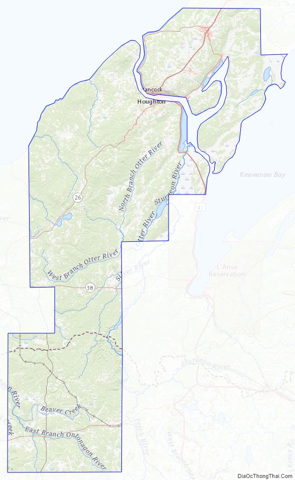
Geography
According to the U.S. Census Bureau, the county has an area of 1,502 square miles (3,890 km), of which 1,009 square miles (2,610 km) is land and 492 square miles (1,270 km) (33%) is water.
The Portage Lift Bridge crosses Portage Lake, connecting Hancock and Houghton, Michigan, by crossing over Portage Lake, which is part of the river and canal system that spans the peninsula. The Portage Lift Bridge is the world’s heaviest and widest double-decked vertical lift bridge. Its center span “lifts” to provide 100 feet (30 m) of clearance for ships. Since rail traffic was discontinued in the Keweenaw, the lower deck accommodates snowmobile traffic in the winter. This is the only land-based link between the Keweenaw Peninsula’s north and south sections, making it crucial to local transportation.
Major highways
- US 41 runs from the southeast corner of the county, north and northwest to Chassell and Houghton, then northeast to Copper Harbor.
- M-26 enters the western portion of county from Mass City and runs northeast through South Range and Houghton to intersect with US 41 at Keweenaw Park.
- M-28 runs east–west across lower portion of county, past Kenton and Sidnaw.
- M-38 runs east–west across center of county, past White, Nisula, and Alston.
- M-203 runs northwest from Houghton, then loops northeast and east to intersect with US 41.
Airport
- Prickett-Grooms Field (FAA LID: 6Y9) privately owned public-use general-aviation daytime-access airport at Sidnaw (since 1940s).
- Houghton County Memorial Airport (KCMX) between Hancock and Calumet (since 1948). General-aviation and limited commercial airline service.
Adjacent counties
- Keweenaw County, north
- Baraga County, east
- Iron County, south border (on Central Time Zone)
- Ontonagon County, west
National protected areas
- Keweenaw National Historical Park (part)
- Ottawa National Forest (part)
Houghton County Topographic Map
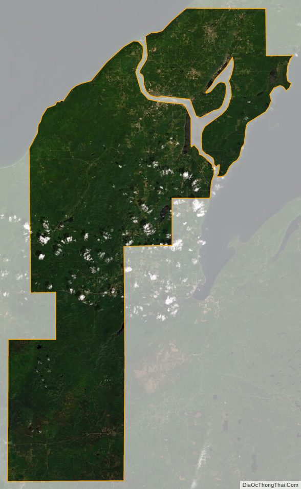
Houghton County Satellite Map
Houghton County Outline Map