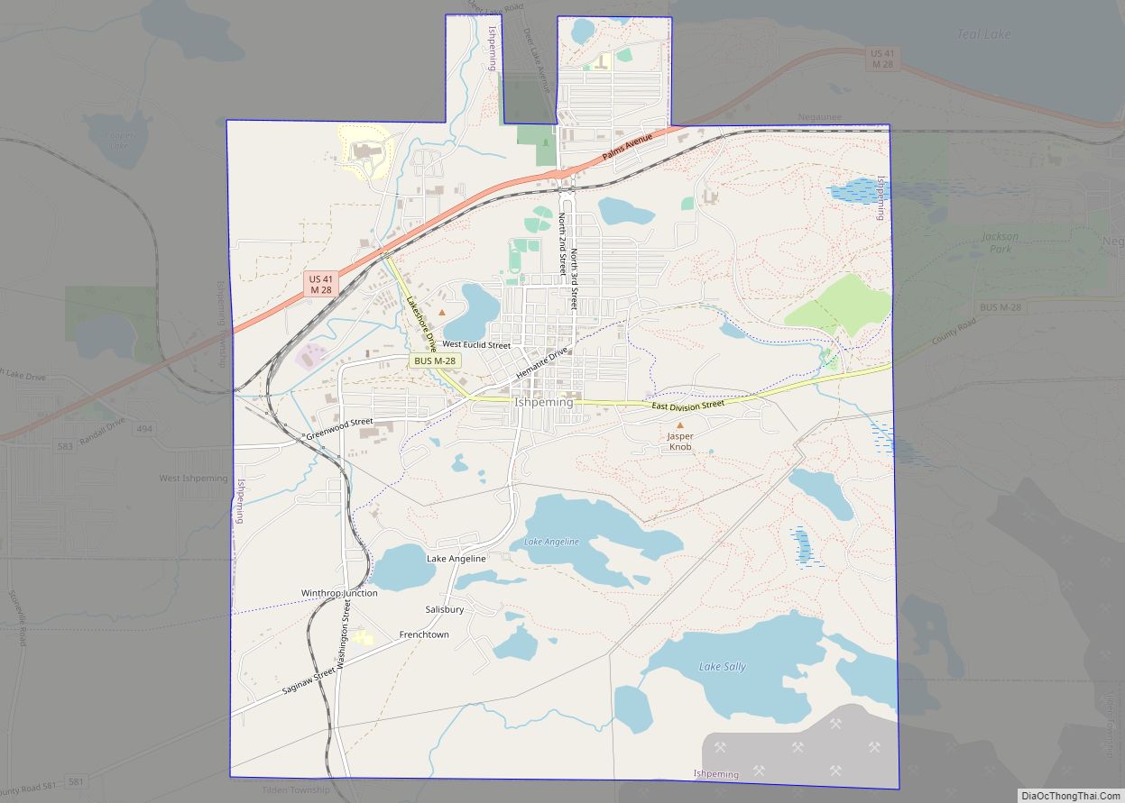
Ishpeming (/ˈɪʃpəmɪŋ/ ISH-pə-ming) is a city in Marquette County in the Upper Peninsula of the U.S. state of Michigan. The population was 6,140 at the 2020 census, less than it was in the 1950s and 1960s when the iron ore mines employed more workers. A statue of a Native American figure, erected in 1884 in the small town square, is referred to as “Old Ish”.
Ishpeming Township is located to the northwest of the city but is administratively autonomous. Ishpeming is considered the birthplace of organized skiing in the United States and is the home to the National Ski Hall of Fame. The city was also prominently featured in the 2010 documentary Catfish.
The name Ishpeming comes from the Ojibwe word ishpiming, meaning “above”, “in the air” or “on high”.
| Name: | Ishpeming city |
|---|---|
| LSAD Code: | 25 |
| LSAD Description: | city (suffix) |
| State: | Michigan |
| County: | Marquette County |
| Founded: | 1873 |
| Elevation: | 1,407 ft (429 m) |
| Total Area: | 9.36 sq mi (24.23 km²) |
| Land Area: | 8.75 sq mi (22.66 km²) |
| Water Area: | 0.61 sq mi (1.58 km²) |
| Total Population: | 6,140 |
| Population Density: | 701.87/sq mi (270.99/km²) |
| Area code: | 906 |
| FIPS code: | 2641220 |
| GNISfeature ID: | 0629103 |
Online Interactive Map
Click on ![]() to view map in "full screen" mode.
to view map in "full screen" mode.
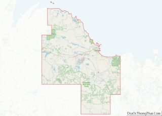
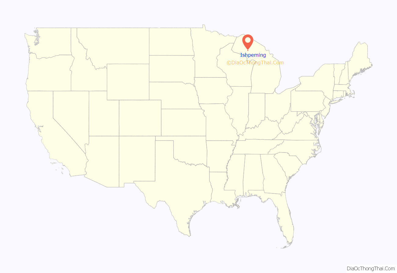
Ishpeming location map. Where is Ishpeming city?

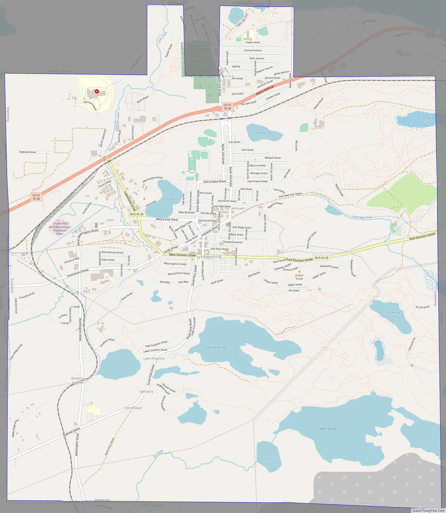
Ishpeming Road Map
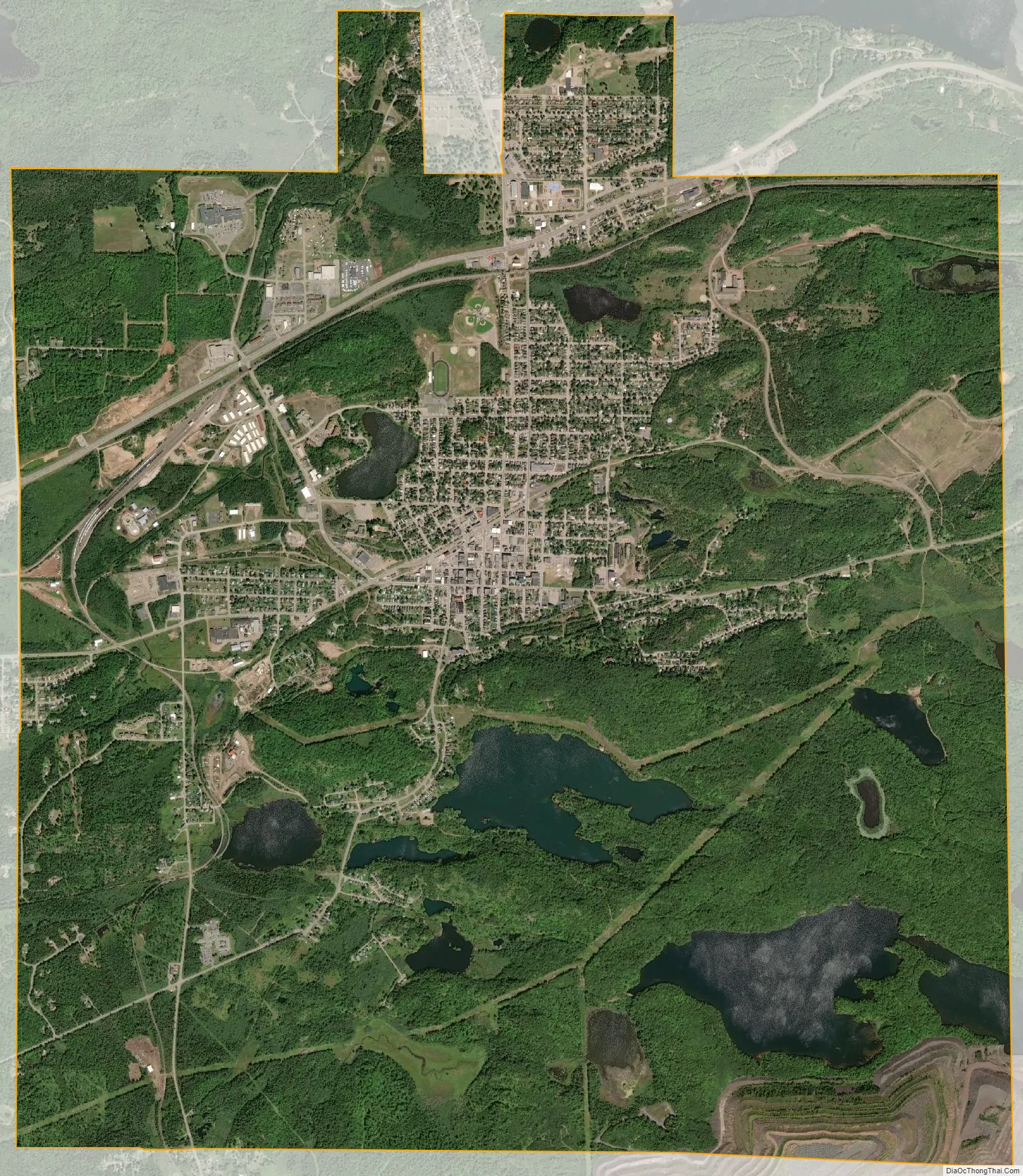
Ishpeming city Satellite Map
Geography
According to the United States Census Bureau, the city has a total area of 9.35 square miles (24.22 km), of which 8.74 square miles (22.64 km) is land and 0.61 square miles (1.58 km) is water. Ishpeming’s elevation is 1,436 feet (438 m) above mean sea level, which is over 800 feet (240 m) higher than that of nearby Lake Superior. The highlands of Ishpeming and the surrounding area, including the city of Negaunee to its east, receive an unusually high yearly average of lake effect snow.
See also
Map of Michigan State and its subdivision:- Alcona
- Alger
- Allegan
- Alpena
- Antrim
- Arenac
- Baraga
- Barry
- Bay
- Benzie
- Berrien
- Branch
- Calhoun
- Cass
- Charlevoix
- Cheboygan
- Chippewa
- Clare
- Clinton
- Crawford
- Delta
- Dickinson
- Eaton
- Emmet
- Genesee
- Gladwin
- Gogebic
- Grand Traverse
- Gratiot
- Hillsdale
- Houghton
- Huron
- Ingham
- Ionia
- Iosco
- Iron
- Isabella
- Jackson
- Kalamazoo
- Kalkaska
- Kent
- Keweenaw
- Lake
- Lake Hurron
- Lake Michigan
- Lake St. Clair
- Lake Superior
- Lapeer
- Leelanau
- Lenawee
- Livingston
- Luce
- Mackinac
- Macomb
- Manistee
- Marquette
- Mason
- Mecosta
- Menominee
- Midland
- Missaukee
- Monroe
- Montcalm
- Montmorency
- Muskegon
- Newaygo
- Oakland
- Oceana
- Ogemaw
- Ontonagon
- Osceola
- Oscoda
- Otsego
- Ottawa
- Presque Isle
- Roscommon
- Saginaw
- Saint Clair
- Saint Joseph
- Sanilac
- Schoolcraft
- Shiawassee
- Tuscola
- Van Buren
- Washtenaw
- Wayne
- Wexford
- Alabama
- Alaska
- Arizona
- Arkansas
- California
- Colorado
- Connecticut
- Delaware
- District of Columbia
- Florida
- Georgia
- Hawaii
- Idaho
- Illinois
- Indiana
- Iowa
- Kansas
- Kentucky
- Louisiana
- Maine
- Maryland
- Massachusetts
- Michigan
- Minnesota
- Mississippi
- Missouri
- Montana
- Nebraska
- Nevada
- New Hampshire
- New Jersey
- New Mexico
- New York
- North Carolina
- North Dakota
- Ohio
- Oklahoma
- Oregon
- Pennsylvania
- Rhode Island
- South Carolina
- South Dakota
- Tennessee
- Texas
- Utah
- Vermont
- Virginia
- Washington
- West Virginia
- Wisconsin
- Wyoming