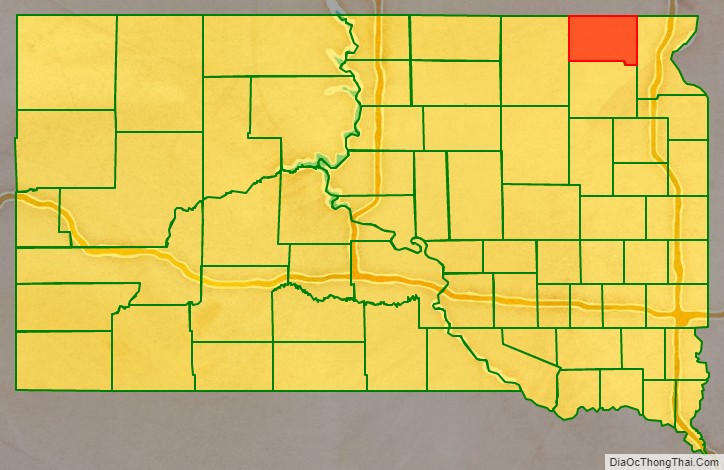
Marshall County is a county in the U.S. state of South Dakota. As of the 2020 census, the population was 4,306. Its county seat is Britton. The county was created on May 2, 1885, and was named for Marshall Vincent, who homesteaded near Andover, South Dakota.
| Name: | Marshall County |
|---|---|
| FIPS code: | 46-091 |
| State: | South Dakota |
| Founded: | 1885 |
| Named for: | Marshall Vincent |
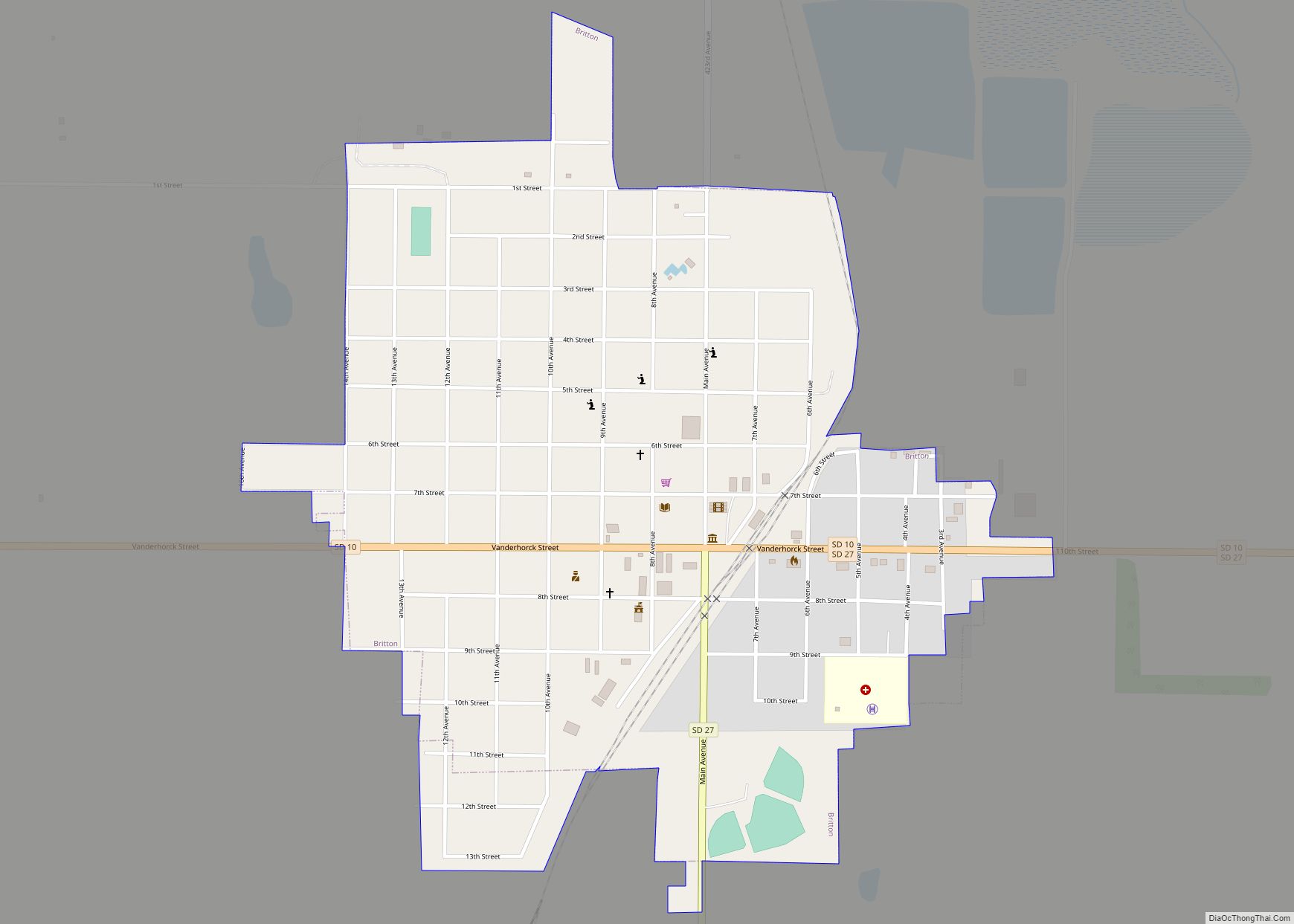
| Seat: | Britton |
| Largest city: | Britton |
| Total Area: | 886 sq mi (2,290 km²) |
| Land Area: | 838 sq mi (2,170 km²) |
| Total Population: | 4,306 |
| Population Density: | 4.9/sq mi (1.9/km²) |
| Time zone: | UTC−6 (Central) |
| Summer Time Zone (DST): | UTC−5 (CDT) |
| Website: | marshall.sdcounties.org |
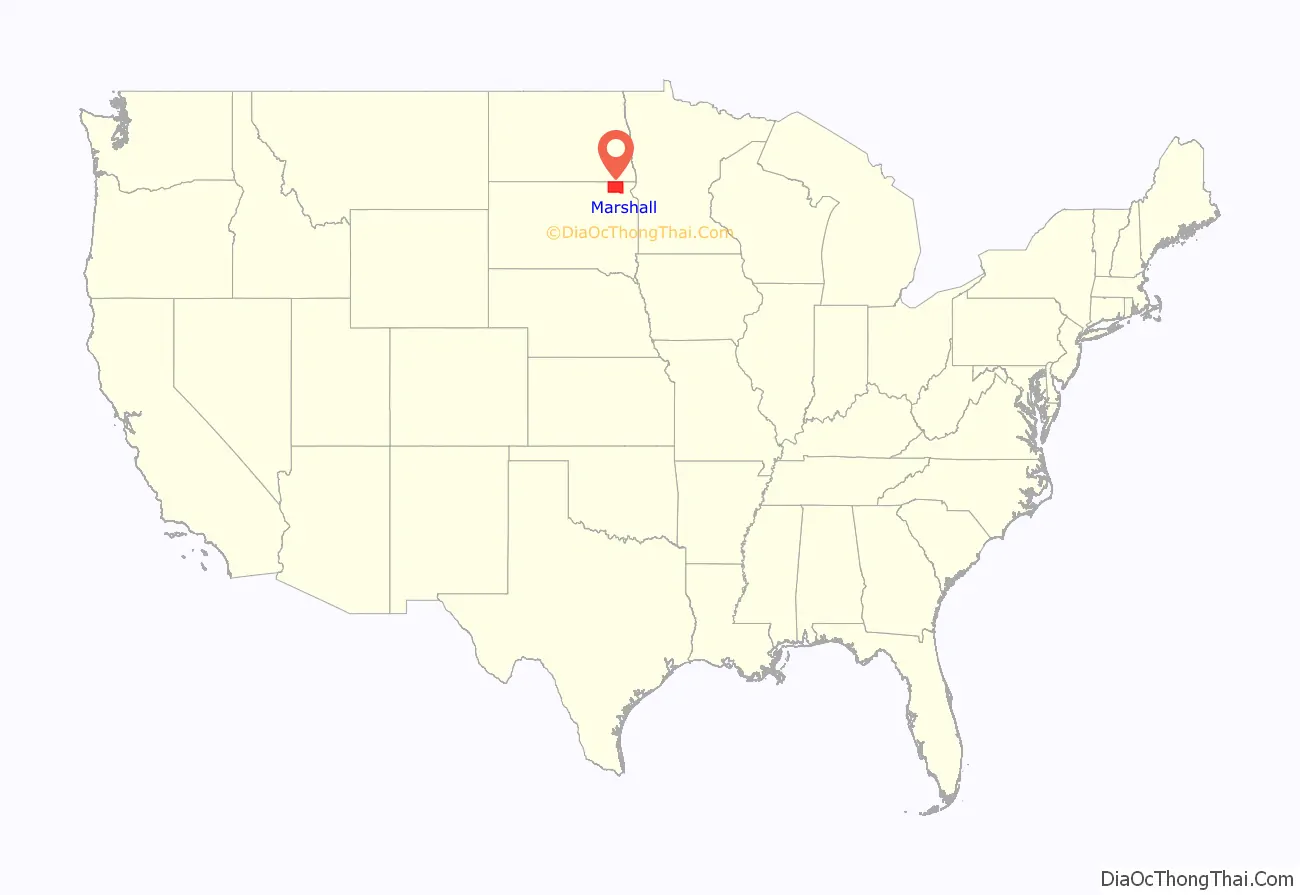
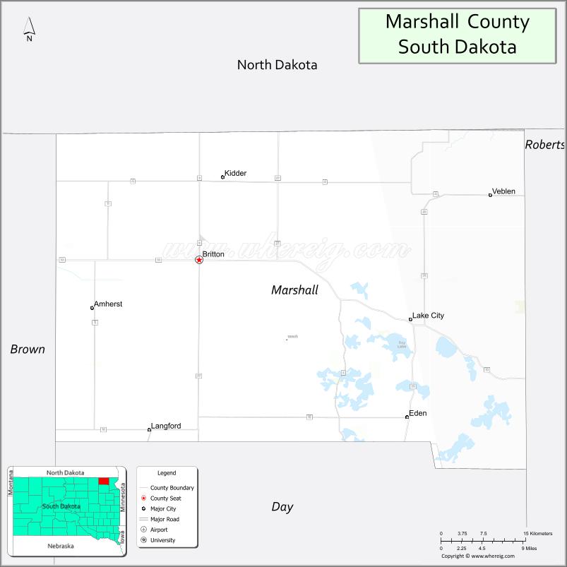
Marshall County location map. Where is Marshall County?
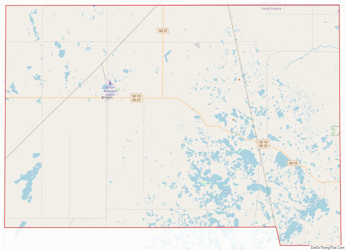
Marshall County Road Map
Geography
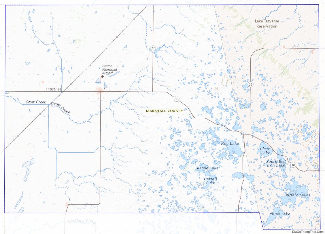
Marshall County lies on the north side of South Dakota. Its north boundary line abuts the south boundary line of the state of North Dakota. Its terrain consists of rolling hills, with numerous lakes and ponds in the SE portion. Its terrain slopes to the northeast, and its highest point is near its SE corner, at 2,034′ (620m) ASL.
Marshall County has a total area of 886 square miles (2,290 km), of which 838 square miles (2,170 km) is land and 48 square miles (120 km) (5.4%) is water. The county is drained by the Crow Creek, a tributary of the James River, and the Wild Rice River, a tributary of the Red River of the North. A portion of the Lake Traverse Indian Reservation is located in the eastern part of the county.
Major Highways
- South Dakota Highway 10
- South Dakota Highway 25
- South Dakota Highway 27
Protected areas
- Abraham State Game Production Area
- Aspen Slough State Game Production Area
- Black Slough State Game Production Area
- Bonham State Game Production Area
- Buffalo Lakes State Game Production Area
- Bullhead State Lakeside Use Area
- Cattail State Game Production Area
- Church State Game Production Area
- Clear Lake State Game Production Area
- Clear Lake State Lakeside Use Area
- Douglas State Game Production Area
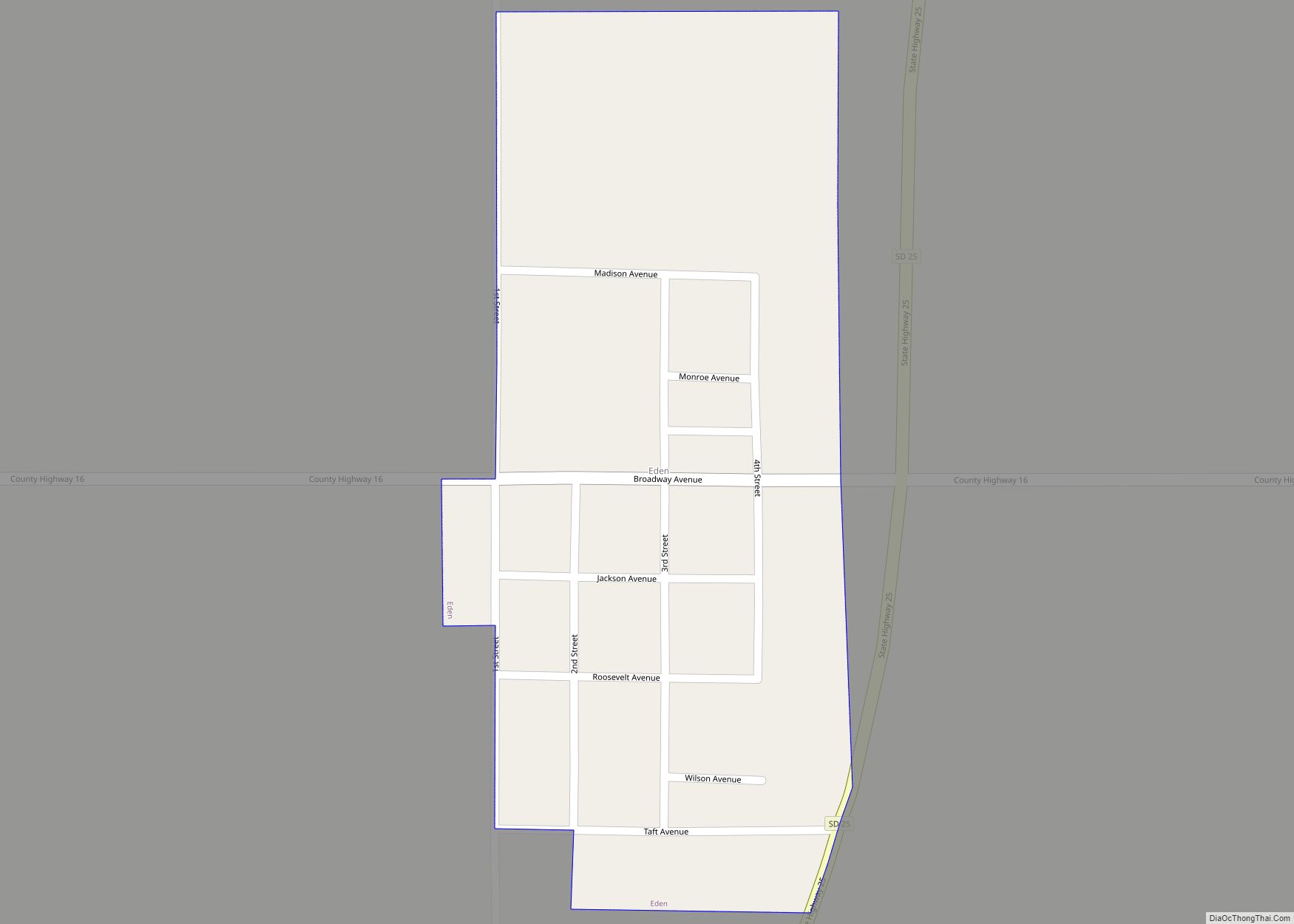
- Eden State Game Production Area
- Flat Creek State Game Production Area
- Fort Sisseton Historic State Park
- Fort Sisseton State Game Production Area
- Four Mile-Clubhouse-Barretts State Game Production Area
- Four Mile State Lakeside Use Area
- Hamilton Township State Game Production Area
- Hickman Dam State Game Production Area
- Horeshoe State Game Production Area
- Ivory Tower State Game Production Area
- Knebel State Game Production Area (part)
- Little Cottonwood State Game Production Area
- Lost Lake State Game Production Area
- Nine Mile State Game Production Area
- North Church State Game Production Area
- North Ottertail State Game Production Area
- North Red Iron State Game Production Area
- Renziehausen State Game Production Area (part)
- Rock Crandall State Game Production Area
- Roy Lake State Game Production Area
- Roy Lake State Park
- Schlosser Memorial State Game Production Area
- Sica Hollow State Park (part)
- Sorbell State Game Production Area
- South Red Iron State Game Production Area
- Turtlefoot State Game Production Area
- White Lake State Game Production Area
Adjacent counties
- Sargent County, North Dakota – north
- Richland County, North Dakota – northeast
- Roberts County – east
- Day County – south
- Brown County – west
Marshall County Topographic Map
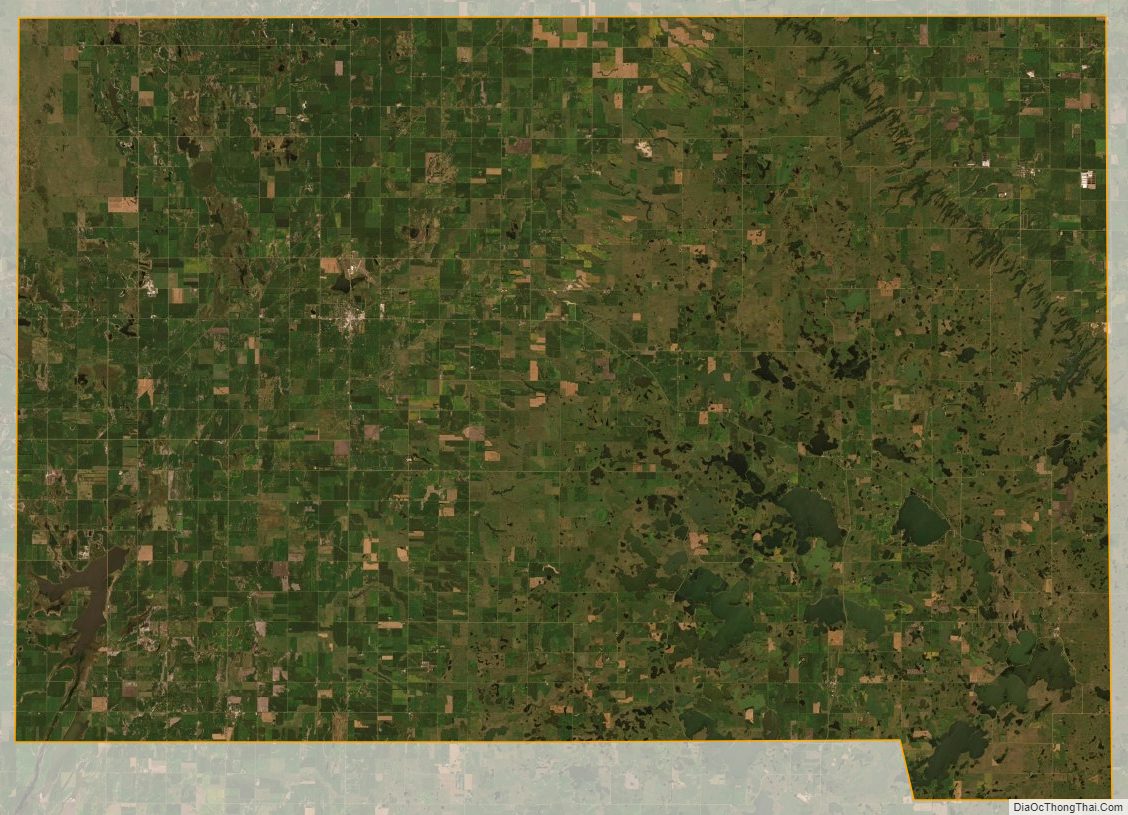
Marshall County Satellite Map
Marshall County Outline Map