Richland County is a county in the U.S. state of North Dakota. As of the 2020 census, the population was 16,529. Its county seat is Wahpeton.
Richland County is part of the Wahpeton, ND–MN Micropolitan Statistical Area, which is also included in the Fargo-Wahpeton, ND-MN Combined Statistical Area.
| Name: | Richland County |
|---|---|
| FIPS code: | 38-077 |
| State: | North Dakota |
| Founded: | 1873 |
| Named for: | Morgan T. Rich |
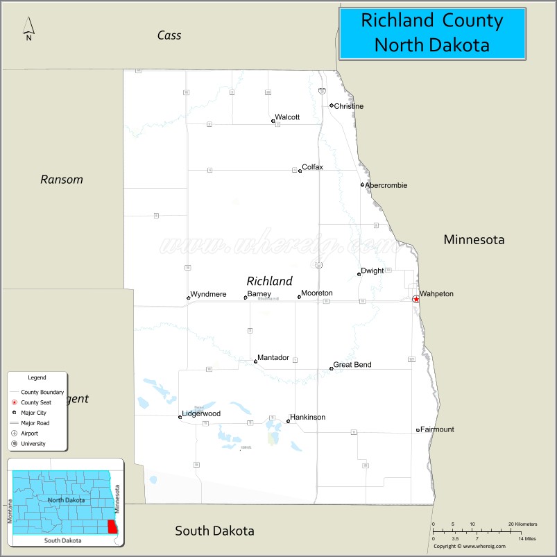
| Seat: | Wahpeton |
| Largest city: | Wahpeton |
| Total Area: | 1,445 sq mi (3,740 km²) |
| Land Area: | 1,436 sq mi (3,720 km²) |
| Total Population: | 16,529 |
| Population Density: | 11/sq mi (4.4/km²) |
| Time zone: | UTC−6 (Central) |
| Summer Time Zone (DST): | UTC−5 (CDT) |
| Website: | www.co.richland.nd.us |
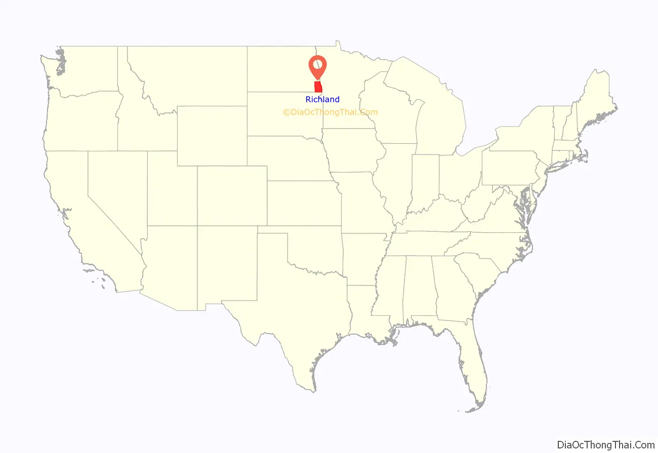
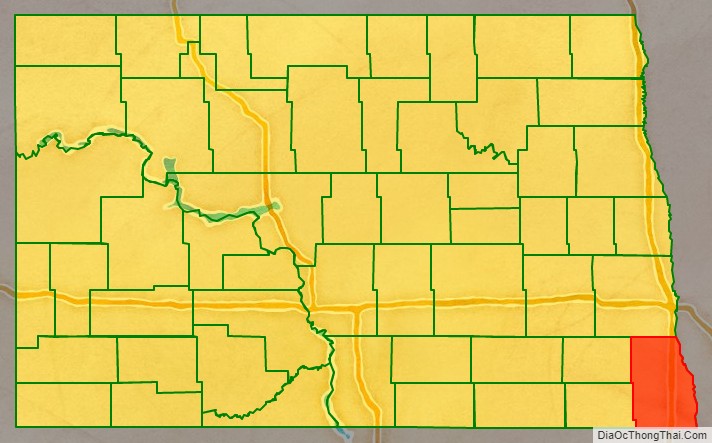
Richland County location map. Where is Richland County?
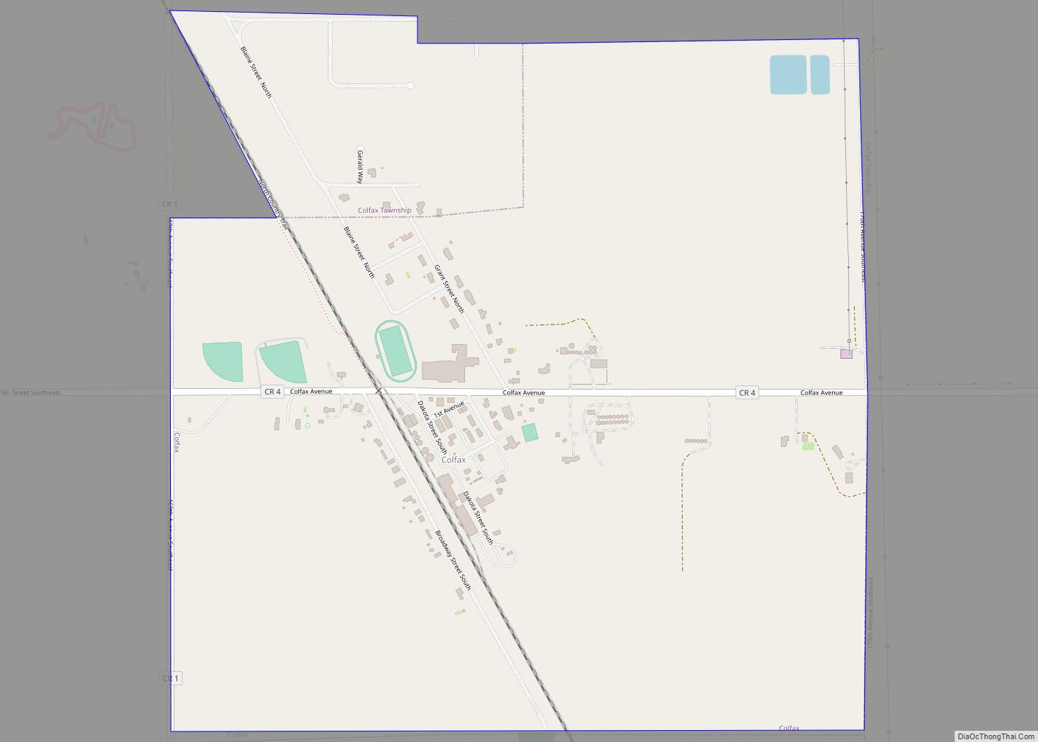
History
The Dakota Territory legislature created the county on January 4, 1873, with area partitioned from Pembina County. It was named for Morgan T. Rich, who settled on the site of the future Wahpeton in 1869. The county organization was completed on November 25 of that same year. Its boundaries were altered in 1883 and 1885. It has maintained its present configuration since 1885.
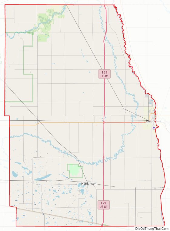
Richland County Road Map
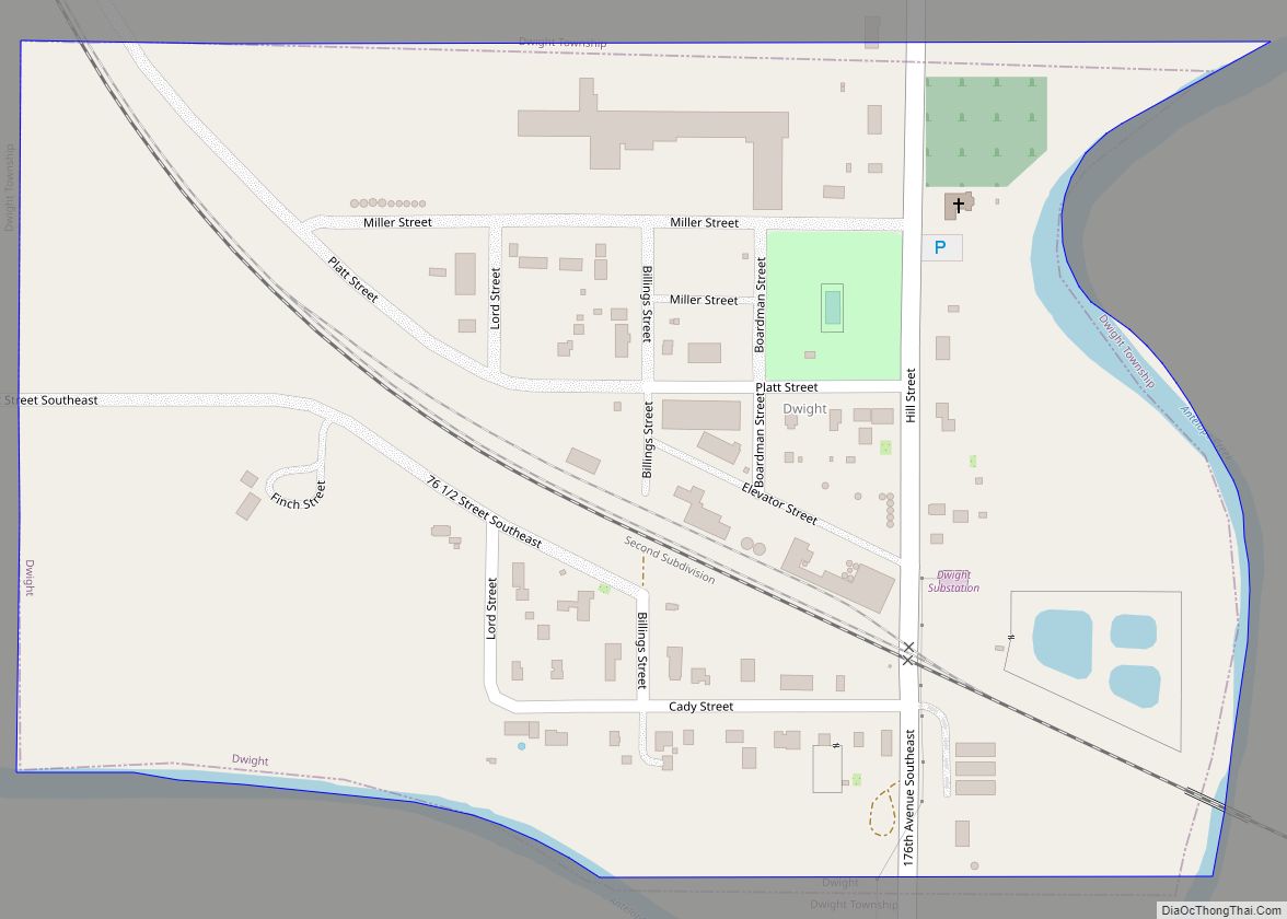
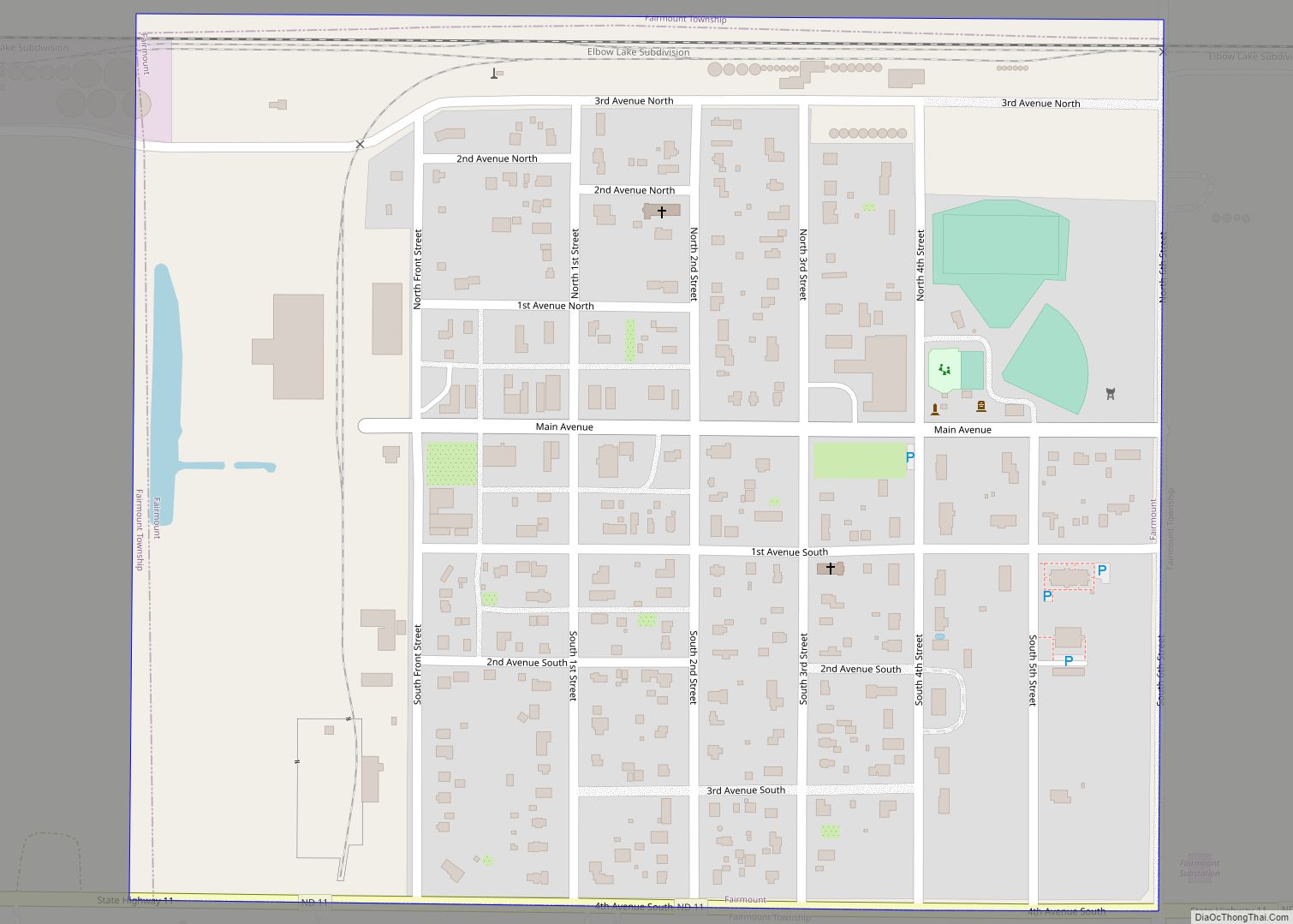
Geography
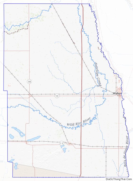
Richland County lies at the southeastern corner of North Dakota. Its eastern boundary line abuts the western boundary line of the state of Minnesota (across the Red River), and its southern boundary line abuts the northern boundary line of the state of South Dakota. The Red River flows northerly along its eastern boundary line on its way to the Hudson Bay. The Wild Rice River flows easterly and then northerly through the county, discharging into the Red River north of Richland County, in Cass County. The Sheyenne River flows northeasterly through the NW corner of the county, also discharging into the Red in Cass County.
The Richland County terrain is primarily flat, with rolling hills in the southwest and northwest. It is largely devoted to agriculture. The terrain slopes to the north and east, with its highest point near its SW corner, at 1,220′ (372m) ASL. The county has a total area of 1,445 square miles (3,740 km), of which 1,436 square miles (3,720 km) is land and 9.7 square miles (25 km) (0.7%) is water.
Major highways
- Interstate 29
- North Dakota Highway 11
- North Dakota Highway 13
- North Dakota Highway 18
- North Dakota Highway 27
- North Dakota Highway 46
- North Dakota Highway 127
Adjacent counties
- Cass County – north
- Clay County, Minnesota – northeast
- Wilkin County, Minnesota – east
- Traverse County, Minnesota – southeast
- Roberts County, South Dakota – south
- Marshall County, South Dakota – southwest
- Sargent County – west
- Ransom County – northwest
National protected area
- Sheyenne National Grassland (part)
Lakes
- Bisek Lake
- Grass Lake
- Gullys Slough
- Kreiser Lake
- Lueck Lake
- Moran Lake
- Park Lake
- Silver Lake
- Stacks Slough
- Swan Lake
- Willows Pond
Richland County Topographic Map
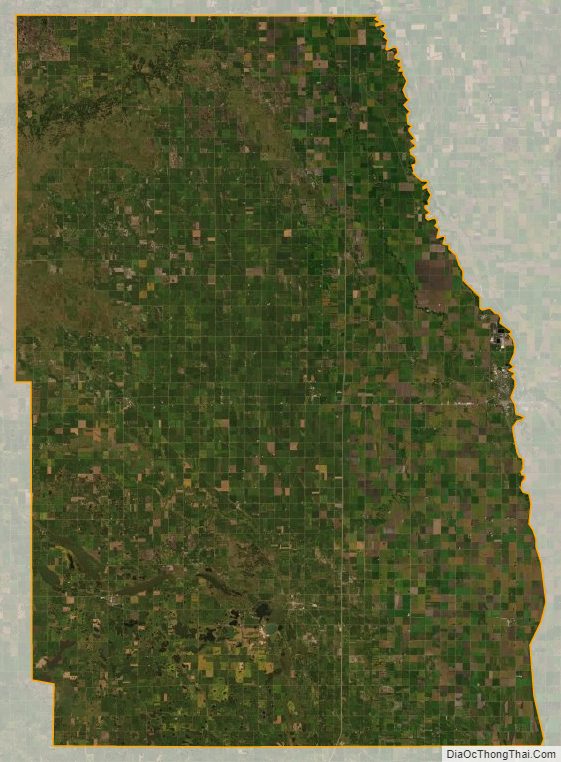
Richland County Satellite Map
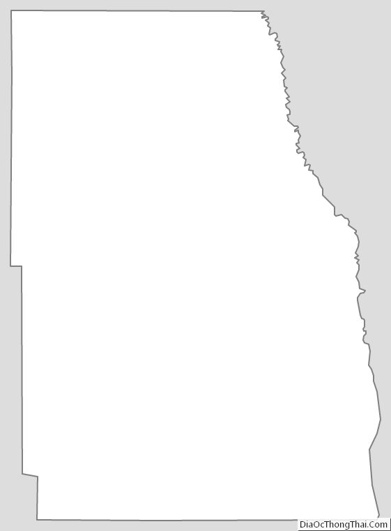
Richland County Outline Map