Britton is a city in and the county seat of Marshall County, South Dakota, United States. The population was 1,215 at the 2020 census.
A weekly newspaper, the Britton Journal, is published in Britton.
| Name: | Britton city |
|---|---|
| LSAD Code: | 25 |
| LSAD Description: | city (suffix) |
| State: | South Dakota |
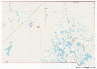
| County: | Marshall County |
| Incorporated: | 1883 |
| Elevation: | 1,358 ft (414 m) |
| Total Area: | 0.73 sq mi (1.89 km²) |
| Land Area: | 0.73 sq mi (1.89 km²) |
| Water Area: | 0.00 sq mi (0.00 km²) |
| Total Population: | 1,215 |
| Population Density: | 1,668.96/sq mi (644.35/km²) |
| ZIP code: | 57430 |
| Area code: | 605 |
| FIPS code: | 4607380 |
| GNISfeature ID: | 1254066 |
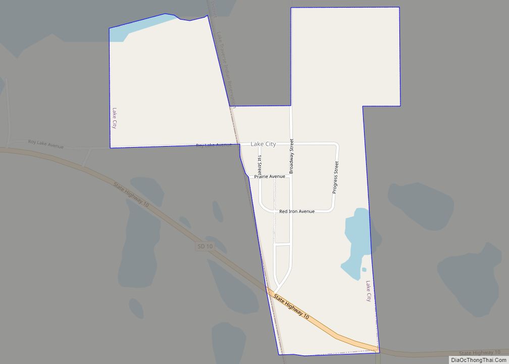
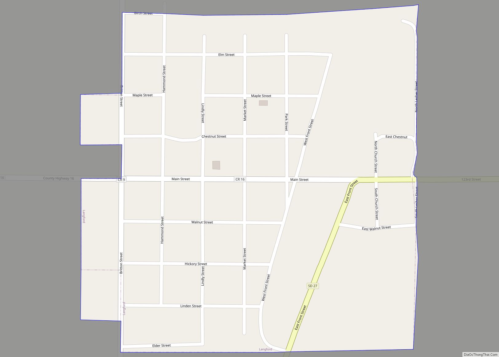
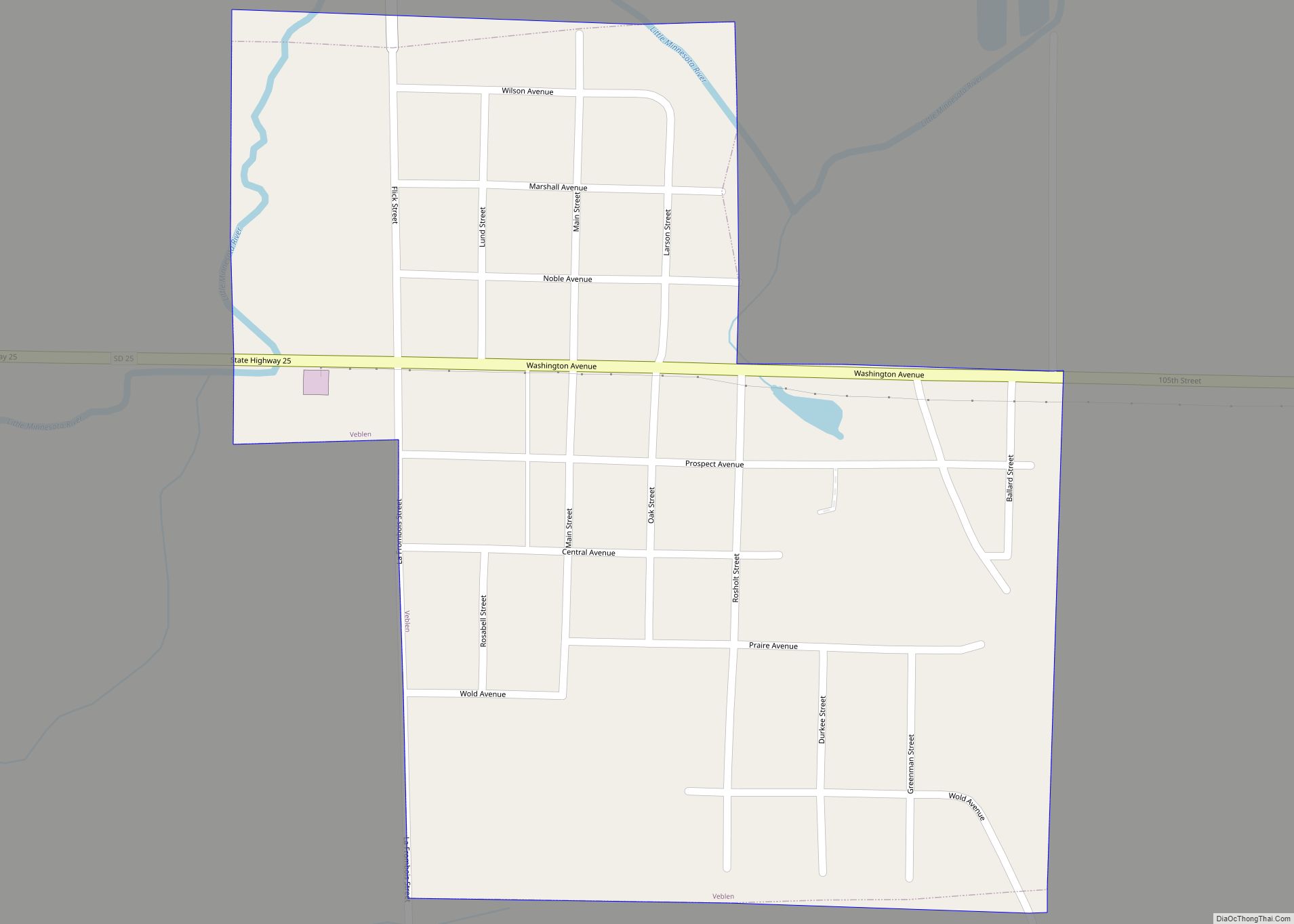
Online Interactive Map
Click on ![]() to view map in "full screen" mode.
to view map in "full screen" mode.
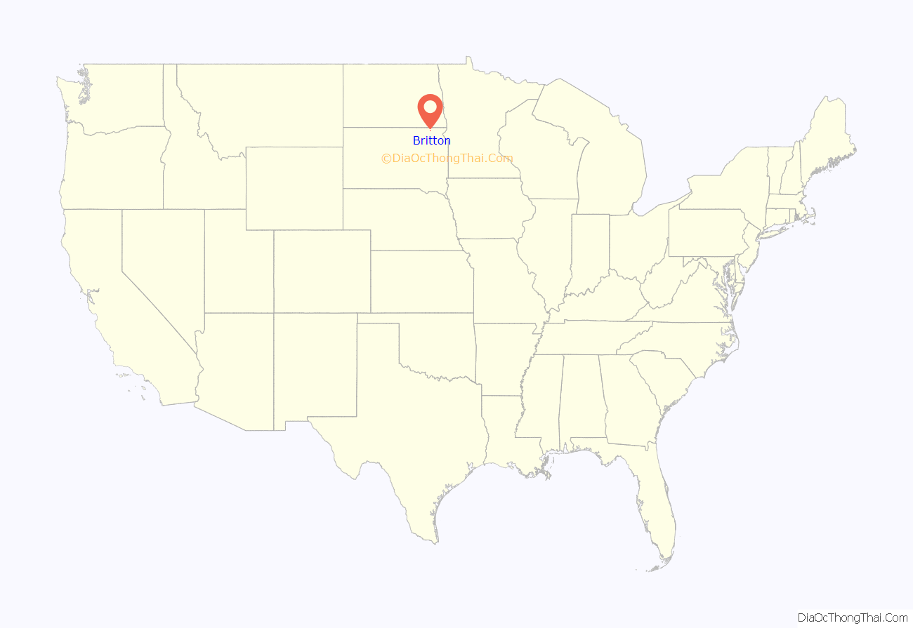
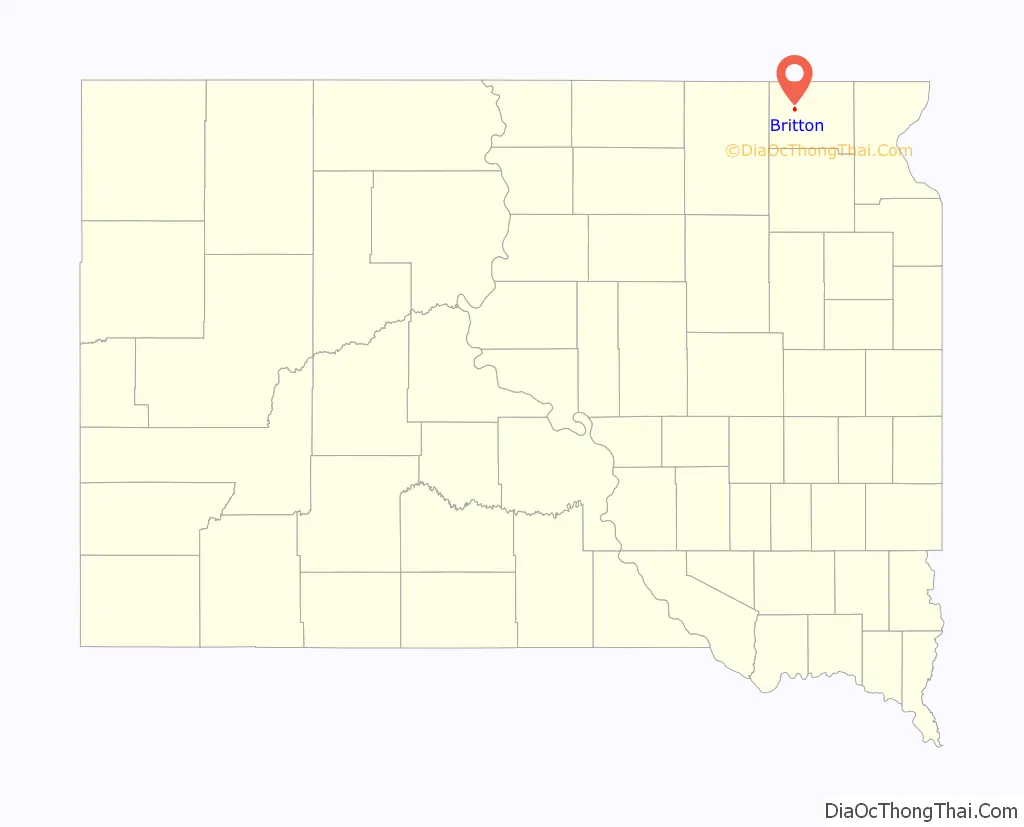
Britton location map. Where is Britton city?
History
Britton was founded in 1884 as a stop on the Chicago, Milwaukee, St. Paul and Pacific Railroad. In 1885, the town was designated county seat of the newly formed Marshall County. It received its city rights in 1906. The city is named after Isaac Britton, a railroad official.
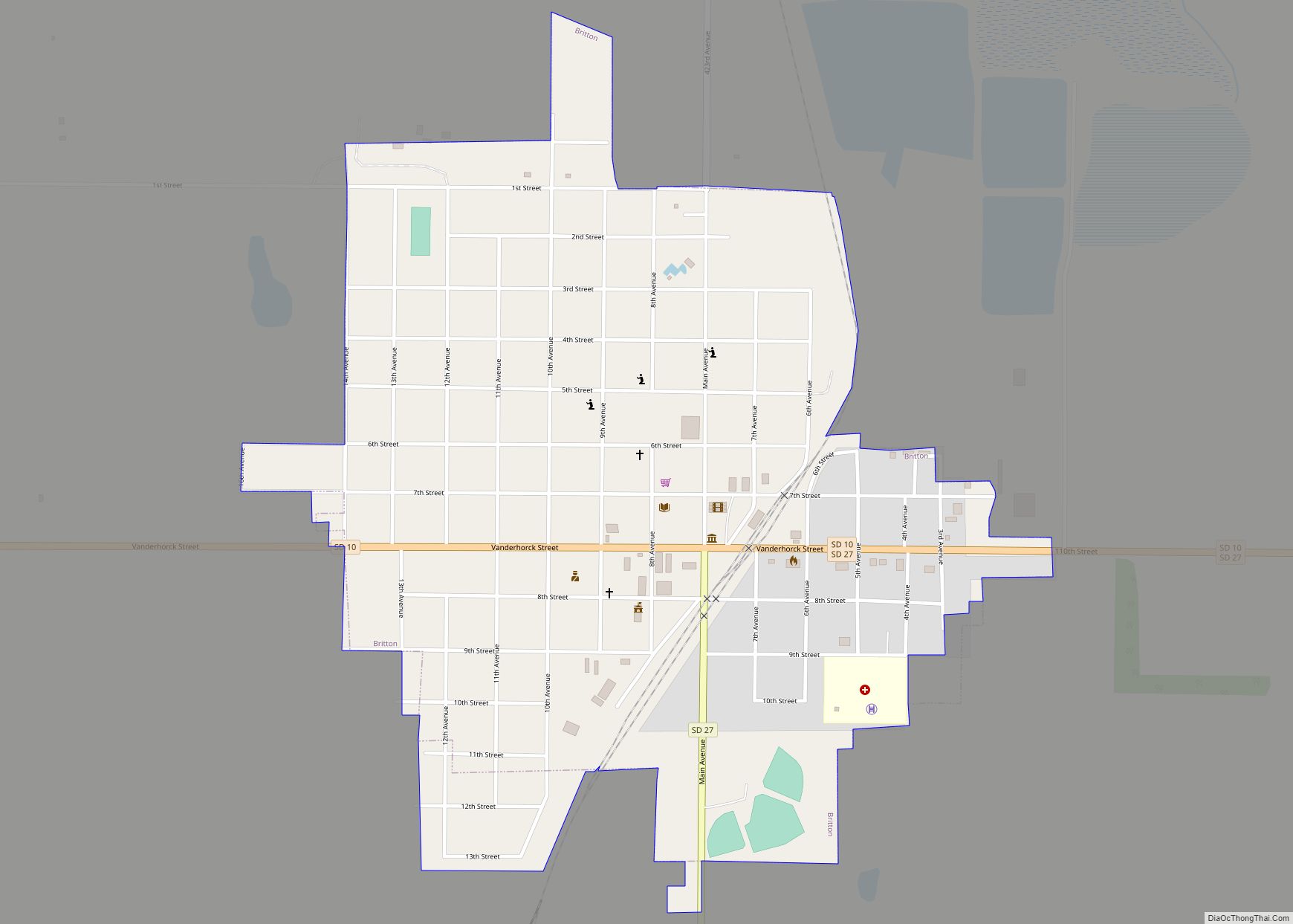
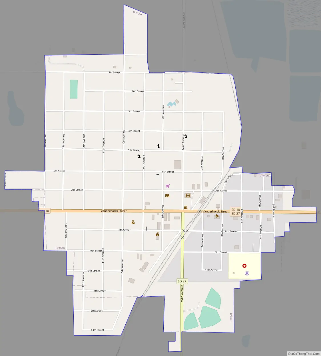
Britton Road Map
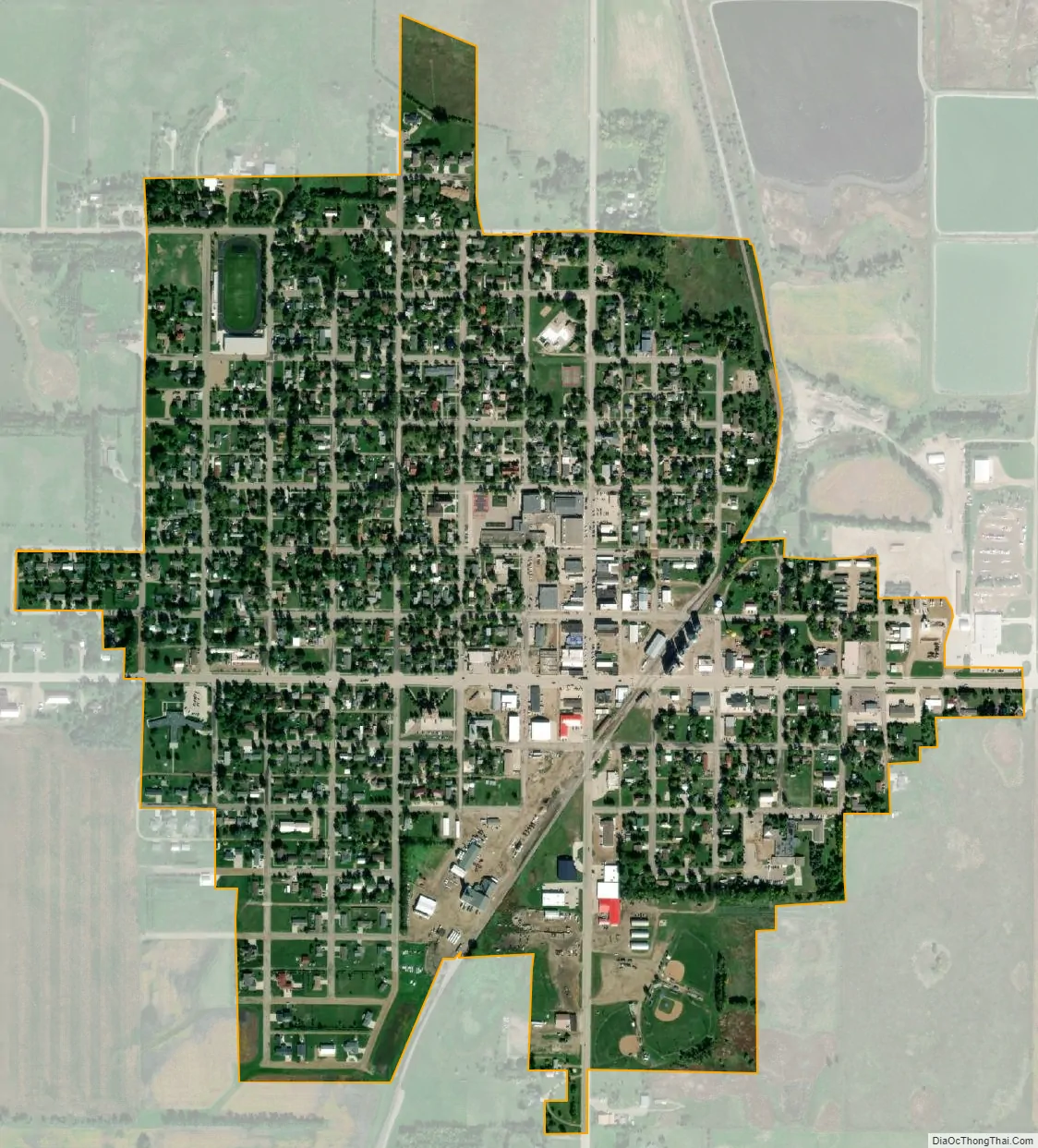
Britton city Satellite Map
Geography
Britton is located at 45°47′34″N 97°45′10″W / 45.79278°N 97.75278°W / 45.79278; -97.75278 (45.792817, -97.752912).
According to the United States Census Bureau, the city has a total area of 0.73 square miles (1.89 km), all land.
Britton has been assigned the ZIP code 57430 and the FIPS place code 07380.
Climate
See also
Map of South Dakota State and its subdivision:- Aurora
- Beadle
- Bennett
- Bon Homme
- Brookings
- Brown
- Brule
- Buffalo
- Butte
- Campbell
- Charles Mix
- Clark
- Clay
- Codington
- Corson
- Custer
- Davison
- Day
- Deuel
- Dewey
- Douglas
- Edmunds
- Fall River
- Faulk
- Grant
- Gregory
- Haakon
- Hamlin
- Hand
- Hanson
- Harding
- Hughes
- Hutchinson
- Hyde
- Jackson
- Jerauld
- Jones
- Kingsbury
- Lake
- Lawrence
- Lincoln
- Lyman
- Marshall
- McCook
- McPherson
- Meade
- Mellette
- Miner
- Minnehaha
- Moody
- Pennington
- Perkins
- Potter
- Roberts
- Sanborn
- Shannon
- Spink
- Stanley
- Sully
- Todd
- Tripp
- Turner
- Union
- Walworth
- Yankton
- Ziebach
- Alabama
- Alaska
- Arizona
- Arkansas
- California
- Colorado
- Connecticut
- Delaware
- District of Columbia
- Florida
- Georgia
- Hawaii
- Idaho
- Illinois
- Indiana
- Iowa
- Kansas
- Kentucky
- Louisiana
- Maine
- Maryland
- Massachusetts
- Michigan
- Minnesota
- Mississippi
- Missouri
- Montana
- Nebraska
- Nevada
- New Hampshire
- New Jersey
- New Mexico
- New York
- North Carolina
- North Dakota
- Ohio
- Oklahoma
- Oregon
- Pennsylvania
- Rhode Island
- South Carolina
- South Dakota
- Tennessee
- Texas
- Utah
- Vermont
- Virginia
- Washington
- West Virginia
- Wisconsin
- Wyoming