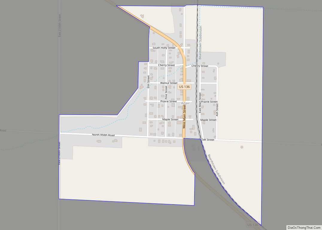
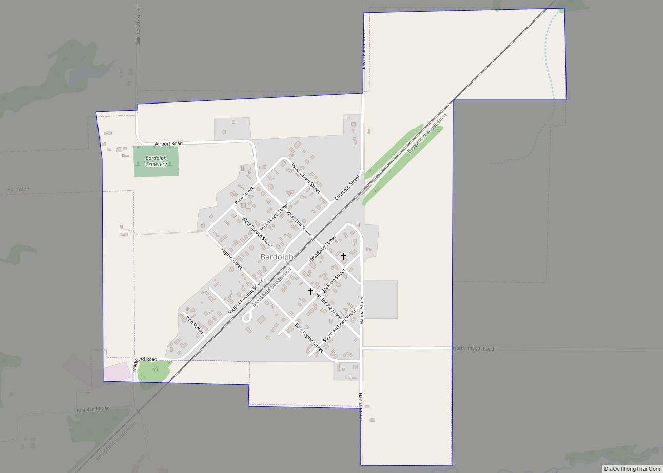
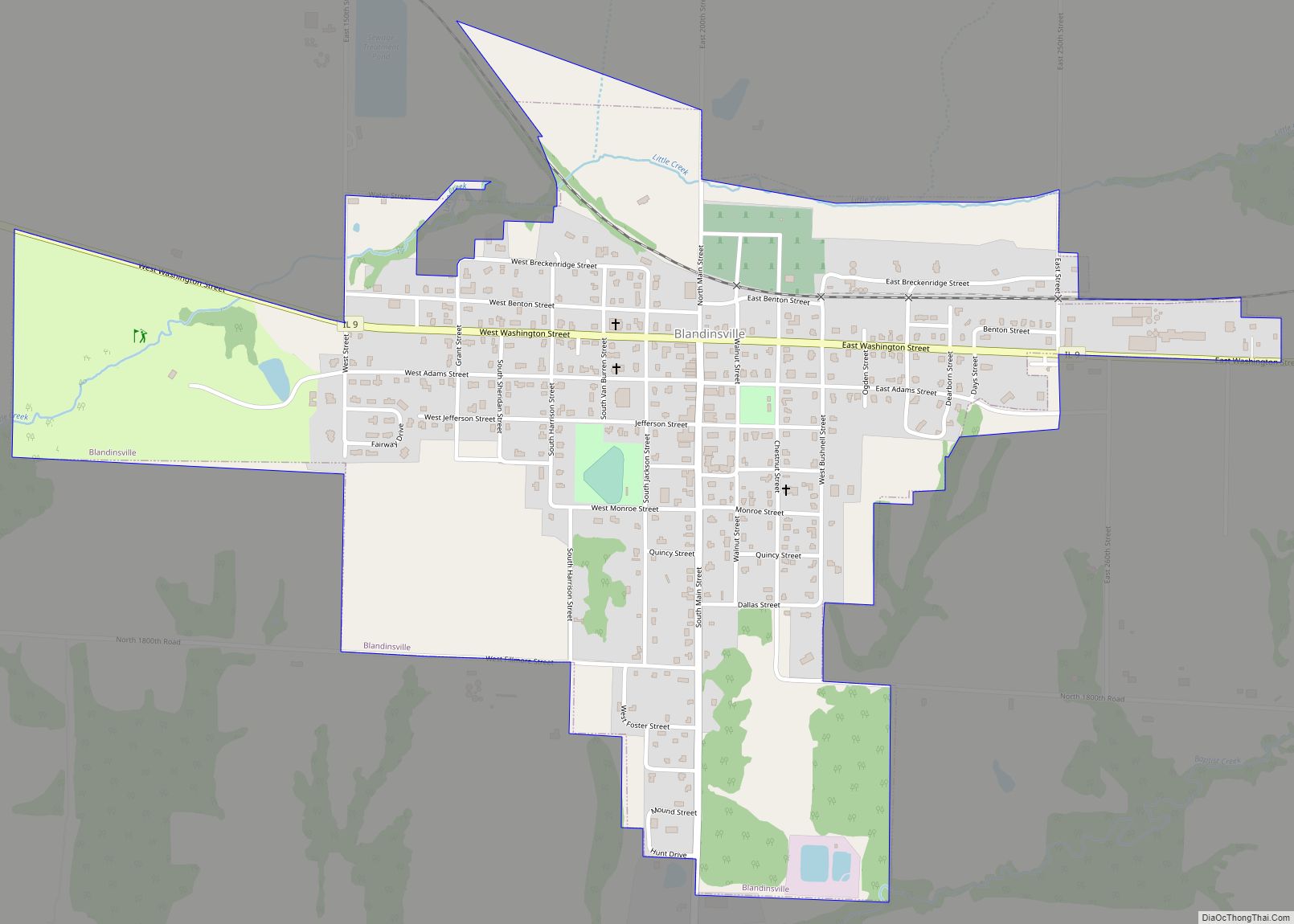
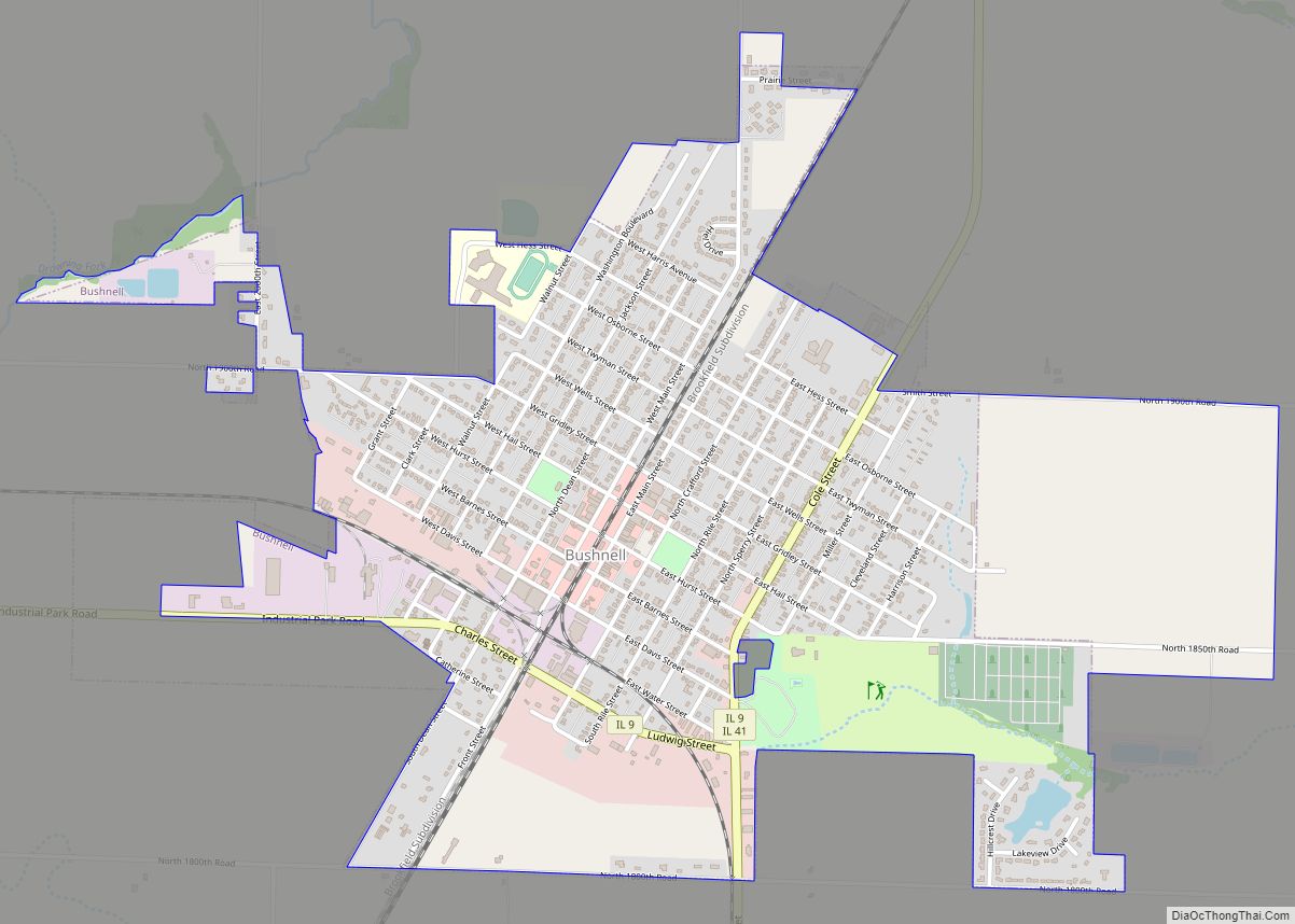
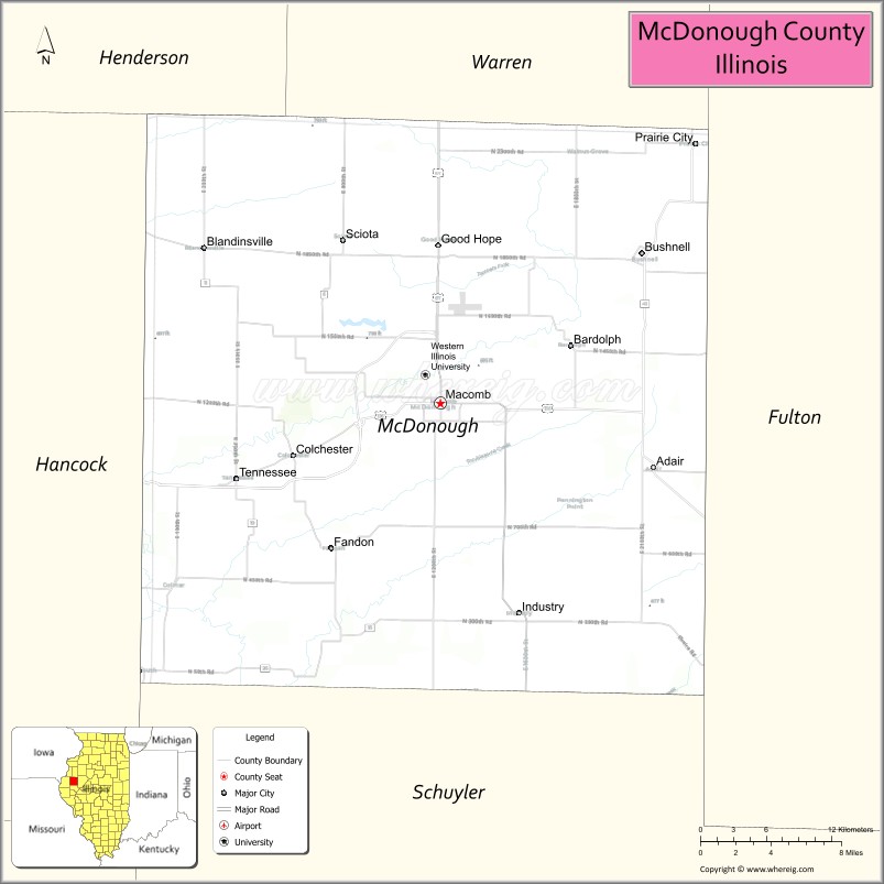
McDonough County is a county in the U.S. state of Illinois. According to the 2010 census, it had a population of 32,612. Its county seat is Macomb.
The Macomb, IL Micropolitan Statistical Area includes all of McDonough County.
| Name: | McDonough County |
|---|---|
| FIPS code: | 17-109 |
| State: | Illinois |
| Founded: | 1826 |
| Named for: | Thomas Macdonough |
| Seat: | Macomb |
| Largest city: | Macomb |
| Total Area: | 590 sq mi (1,500 km²) |
| Land Area: | 589 sq mi (1,530 km²) |
| Total Population: | 32,612 |
| Population Density: | 55/sq mi (21/km²) |
| Time zone: | UTC−6 (Central) |
| Summer Time Zone (DST): | UTC−5 (CDT) |
| Website: | mcg.mcdonough.il.us |
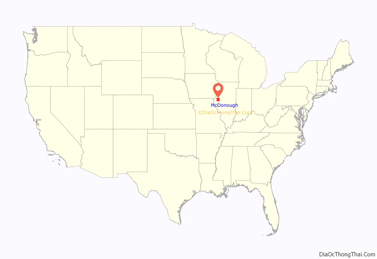
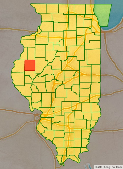
McDonough County location map. Where is McDonough County?
History
McDonough County is named in honor of Thomas Macdonough who defeated a British squadron in the decisive naval Battle of Lake Champlain in the War of 1812. McDonough County was part of the “Military Tract” set aside by Congress for veterans of the War of 1812.
McDonough County at the time of its creation in 1826
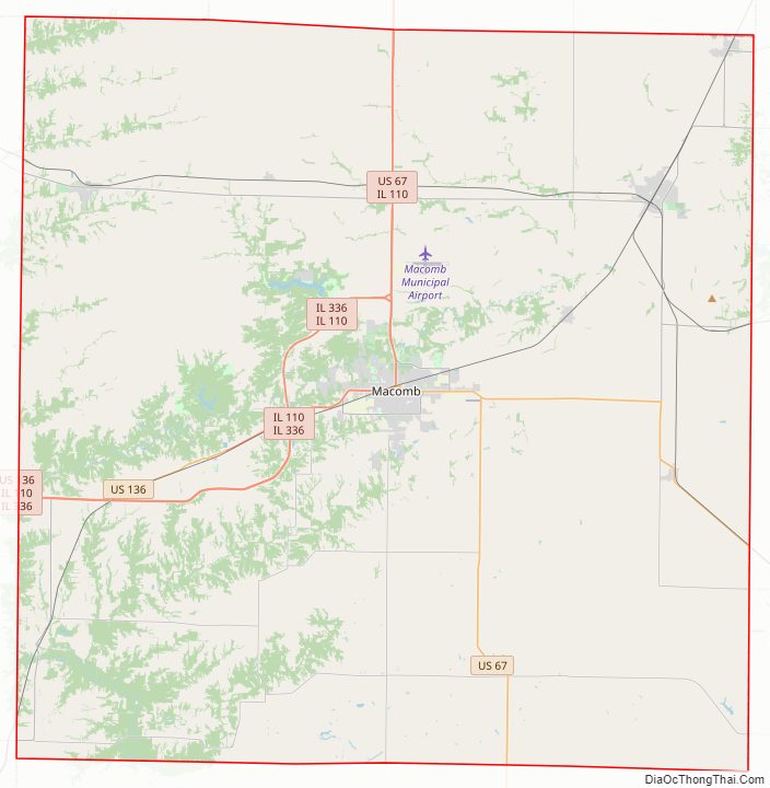
McDonough County Road Map
Geography
According to the U.S. Census Bureau, the county has a total area of 590 square miles (1,500 km), of which 589 square miles (1,530 km) is land and 0.8 square miles (2.1 km) (0.1%) is water.
The county has the unusual distinction of forming a perfect square by Mercator map projection. The county seat, Macomb, is in the center of the county, and the courthouse is almost precisely in the center of the county.
Public transit
- Go West Transit
- Macomb station
Major highways
- U.S. Route 67
- U.S. Route 136
- Illinois Route 9
- Illinois Route 41
- Illinois Route 61
- Illinois Route 95
- Illinois Route 110
Adjacent counties
- Henderson County – northwest
- Warren County – north
- Fulton County – east
- Schuyler County – south
- Hancock County – west
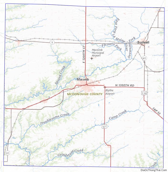
McDonough County Topographic Map
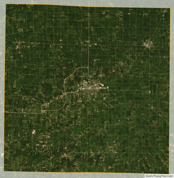
McDonough County Satellite Map
McDonough County Outline Map