Macomb /məˈkoʊm/ is a city in and the county seat of McDonough County, Illinois, United States. It is situated in western Illinois, about 75 miles (121 km) southwest of Peoria. As of the 2020 census the population of the city was 15,051, down from 19,288 in 2010. Macomb is the home of Western Illinois University.
| Name: | Macomb city |
|---|---|
| LSAD Code: | 25 |
| LSAD Description: | city (suffix) |
| State: | Illinois |
| County: | McDonough County |
| Incorporated: | 1830 |
| Elevation: | 643 ft (196 m) |
| Total Area: | 11.03 sq mi (28.57 km²) |
| Land Area: | 10.60 sq mi (27.46 km²) |
| Water Area: | 0.43 sq mi (1.12 km²) 3.87% |
| Total Population: | 15,051 |
| Population Density: | 1,419.77/sq mi (548.19/km²) |
| ZIP code: | 61455 |
| Area code: | 309 |
| FIPS code: | 1745889 |
| Website: | cityofmacomb.com |
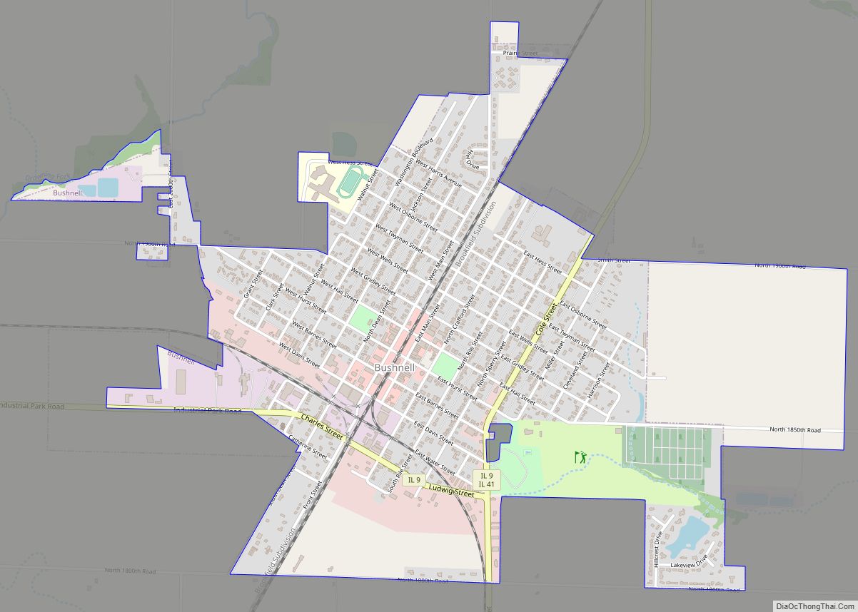
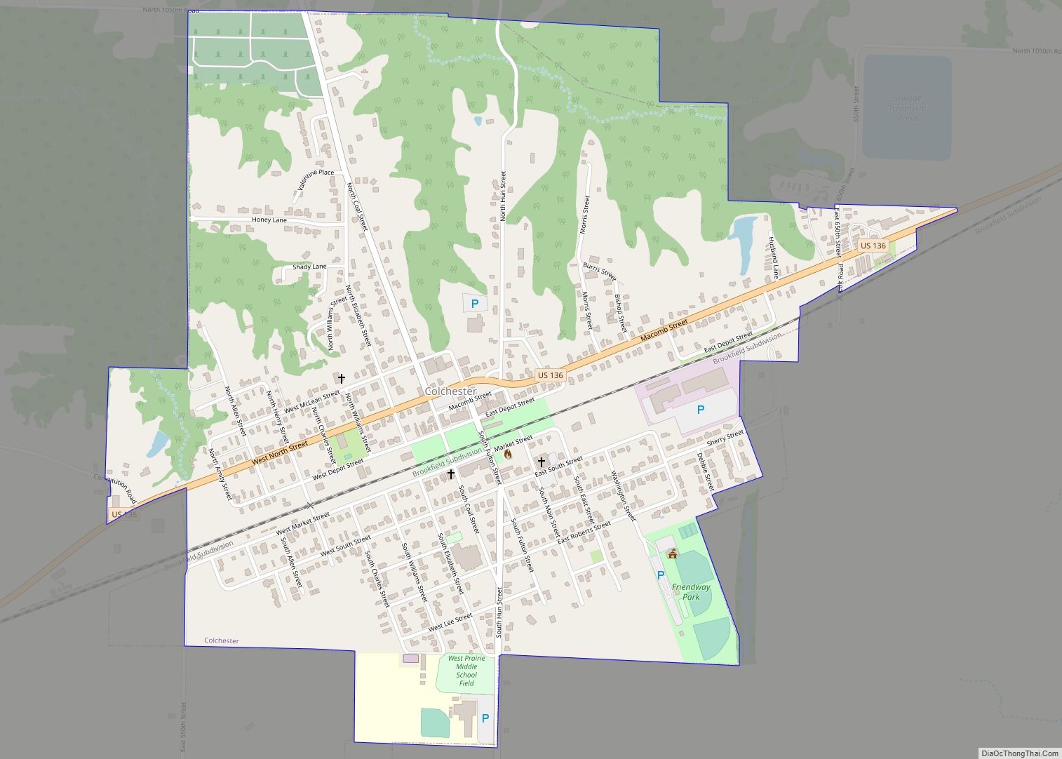
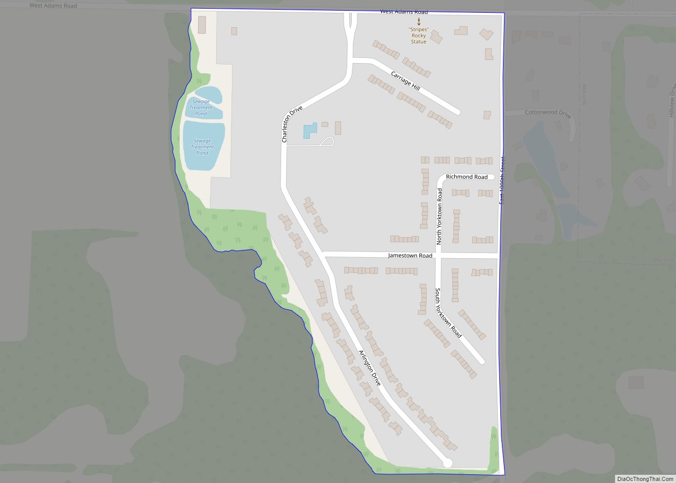
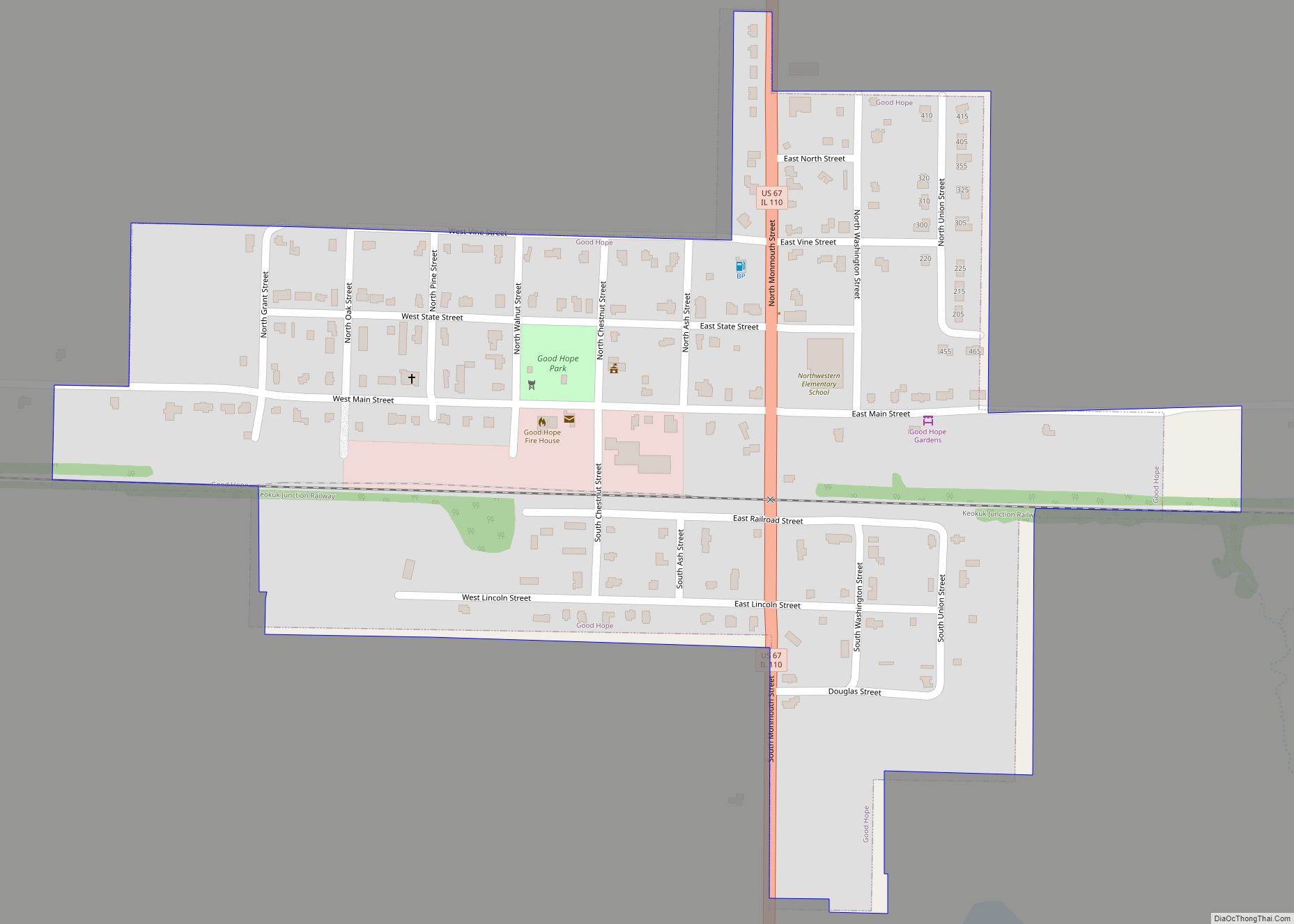
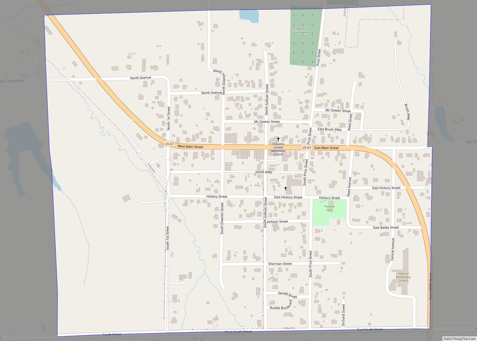
Online Interactive Map
Click on ![]() to view map in "full screen" mode.
to view map in "full screen" mode.
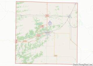
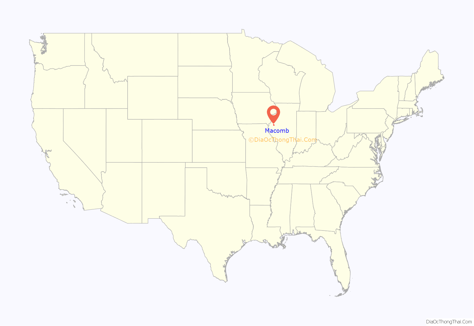
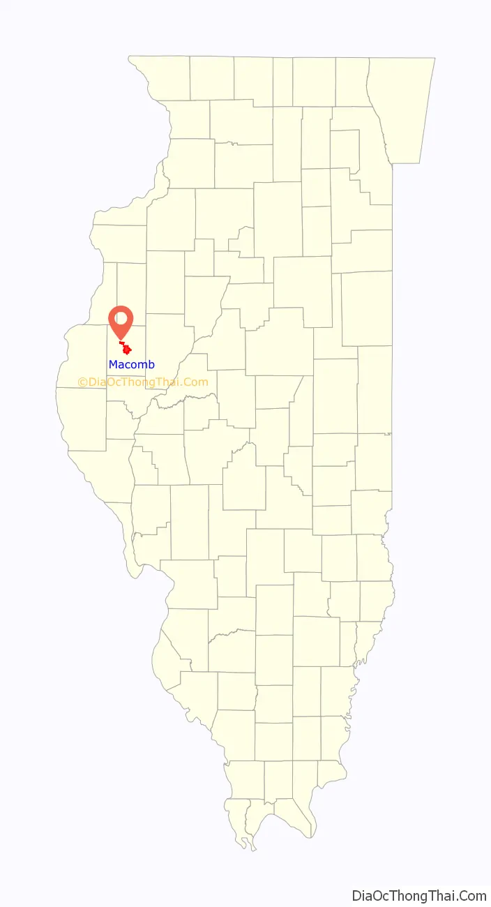
Macomb location map. Where is Macomb city?
History
Origin
First settled in 1829 on a site tentatively named “Washington”, the town was officially founded in 1830 as the county seat of McDonough County and given the name “Macomb” after Alexander Macomb, a general in the War of 1812. War veterans were given land grants in the Macomb area, which was part of the “Military Tract” set aside by Congress. In 1855 the Northern Cross Railroad, a predecessor to the Chicago, Burlington and Quincy Railroad, was constructed through Macomb, leading to a rise in the town’s population. In 1899 the Western Illinois State Normal School, later Western Illinois University, was founded in Macomb. Representative Lawrence Sherman was instrumental in locating the school in Macomb. In 1903 the Macomb and Western Illinois Railway was built from Macomb to nearby Industry and Littleton by local financier Charles V. Chandler, though this railroad was abandoned in 1930. In 1918, construction on Illinois Route 3 was begun as a state financed highway from Cairo to Rock Island through Macomb; in the late 1920s U.S. Route 67 was extended along this route to Dubuque, Iowa.
Presidential visits
Macomb has been visited by several US Presidents over the years. Ulysses S. Grant, Andrew Johnson, Rutherford B. Hayes, William McKinley and Theodore Roosevelt have all made short addresses in Macomb. On two occasions, Abraham Lincoln and Barack Obama addressed large audiences prior to their election as president. Obama was actually stumping for the U.S. Senate at the time, meaning a president or presidential nominee has not visited Macomb in 109 years and counting.
St. Louis Rams summer camp
The WIU campus and its Hanson Field Stadium were home to the St. Louis Rams’ football summer training camp from 1996 to 2004. In 2005, the Rams decided to move summer training to their own facilities in St. Louis, Missouri, ending the nine-year relationship.
Minor league baseball
Macomb was home to the Macomb Potters, who played as members of the Class D level Illinois-Missouri League in 1909 and 1910. The team also hosted two exhibition games against the Chicago Cubs. The Potters began play after local fans raised funds to start the team.
On Friday, June 18, 1909, the Macomb Potters hosted an exhibition game against the defending World Series Champion Chicago Cubs. The game was scheduled with the agreement that the Cubs would feature their regular lineup. The selected date allowed the Cubs to play in between the Cubs’ series with the Brooklyn Superbas. The game was advertised as “the greatest day in the baseball history of McDonough County,” in a large advertisement placed in the June 17, 1909 Macomb Daily Journal. The teams took infield at 2:30 p.m., with the game starting at 3:00 p.m. In front of 2,964 fans, the Cubs beat the Potters 6–0. Admission was $1.00 per ticket. After the game, each team split the gate money minus expenses and each club received $971.50.
During the 1910 season, the Macomb Potters and the Chicago Cubs played a second exhibition game in Macomb. The 1910 game was won by the Cubs 5–0.
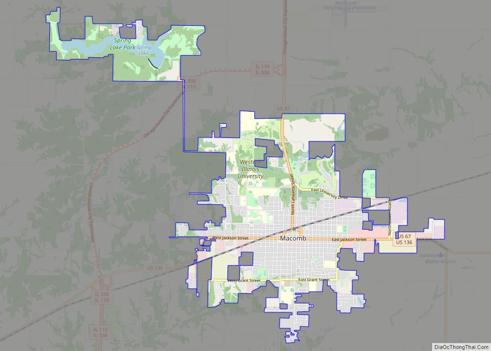
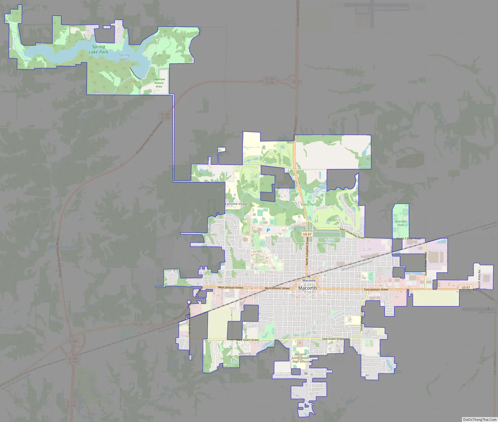
Macomb Road Map
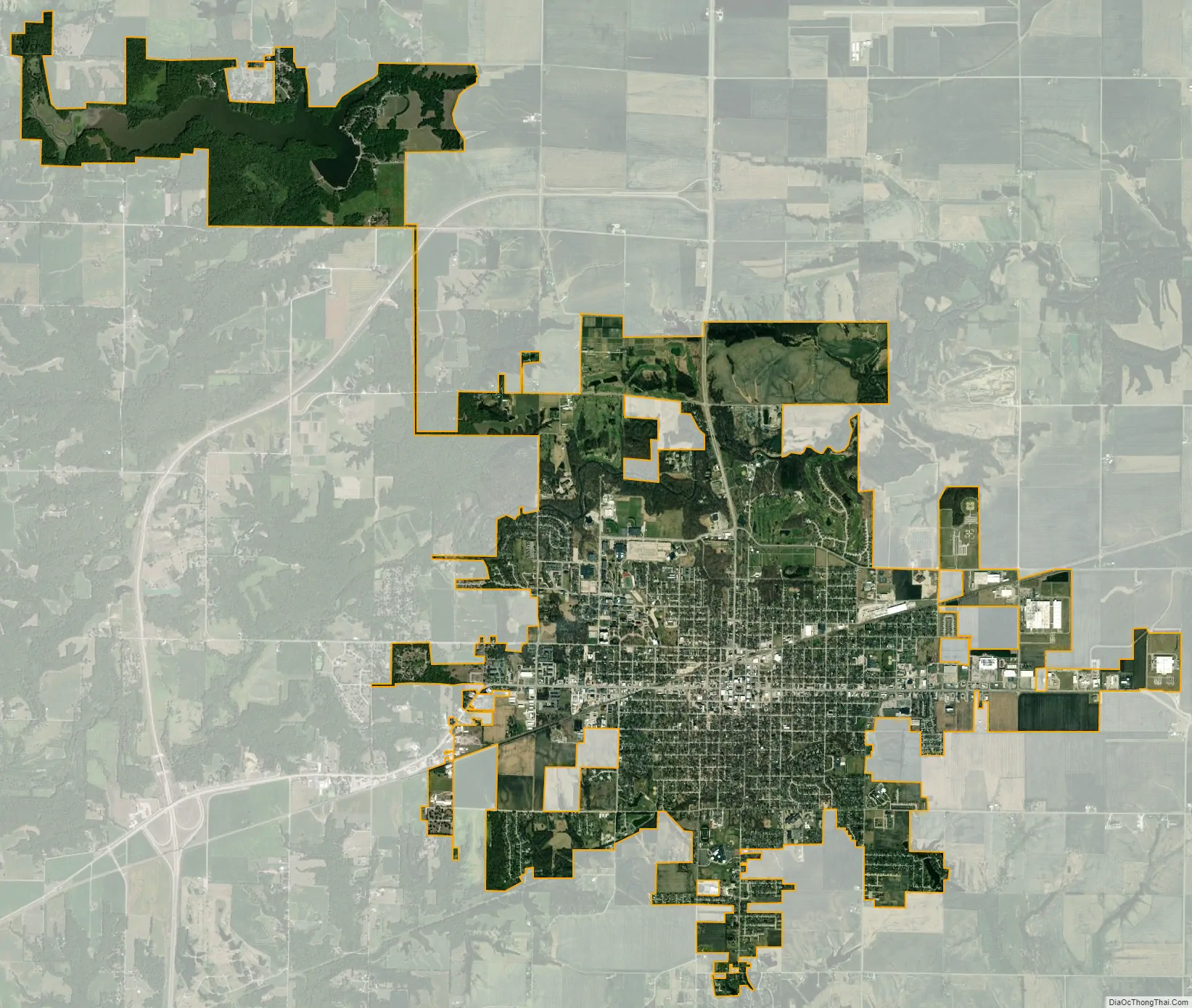
Macomb city Satellite Map
Geography
The East Fork Lamoine River flows past the northern part of the city.
U.S. Routes 67 and 136 pass through the city. They enter the city together from east on Jackson Street and split at the city center, US 67 turning north on Lafayette Street, and US 136 continuing west on Jackson Street. US 67 leads north 33 miles (53 km) to Monmouth and south 27 miles (43 km) to Rushville, while US 136 leads east 40 miles (64 km) to Havana and west 42 miles (68 km) to Keokuk, Iowa.
According to the U.S. Census Bureau, Macomb has a total area of 11.03 square miles (28.57 km), of which 10.60 square miles (27.45 km) are land and 0.43 square miles (1.11 km), or 3.91%, are water.
See also
Map of Illinois State and its subdivision:- Adams
- Alexander
- Bond
- Boone
- Brown
- Bureau
- Calhoun
- Carroll
- Cass
- Champaign
- Christian
- Clark
- Clay
- Clinton
- Coles
- Cook
- Crawford
- Cumberland
- De Kalb
- De Witt
- Douglas
- Dupage
- Edgar
- Edwards
- Effingham
- Fayette
- Ford
- Franklin
- Fulton
- Gallatin
- Greene
- Grundy
- Hamilton
- Hancock
- Hardin
- Henderson
- Henry
- Iroquois
- Jackson
- Jasper
- Jefferson
- Jersey
- Jo Daviess
- Johnson
- Kane
- Kankakee
- Kendall
- Knox
- La Salle
- Lake
- Lake Michigan
- Lawrence
- Lee
- Livingston
- Logan
- Macon
- Macoupin
- Madison
- Marion
- Marshall
- Mason
- Massac
- McDonough
- McHenry
- McLean
- Menard
- Mercer
- Monroe
- Montgomery
- Morgan
- Moultrie
- Ogle
- Peoria
- Perry
- Piatt
- Pike
- Pope
- Pulaski
- Putnam
- Randolph
- Richland
- Rock Island
- Saint Clair
- Saline
- Sangamon
- Schuyler
- Scott
- Shelby
- Stark
- Stephenson
- Tazewell
- Union
- Vermilion
- Wabash
- Warren
- Washington
- Wayne
- White
- Whiteside
- Will
- Williamson
- Winnebago
- Woodford
- Alabama
- Alaska
- Arizona
- Arkansas
- California
- Colorado
- Connecticut
- Delaware
- District of Columbia
- Florida
- Georgia
- Hawaii
- Idaho
- Illinois
- Indiana
- Iowa
- Kansas
- Kentucky
- Louisiana
- Maine
- Maryland
- Massachusetts
- Michigan
- Minnesota
- Mississippi
- Missouri
- Montana
- Nebraska
- Nevada
- New Hampshire
- New Jersey
- New Mexico
- New York
- North Carolina
- North Dakota
- Ohio
- Oklahoma
- Oregon
- Pennsylvania
- Rhode Island
- South Carolina
- South Dakota
- Tennessee
- Texas
- Utah
- Vermont
- Virginia
- Washington
- West Virginia
- Wisconsin
- Wyoming