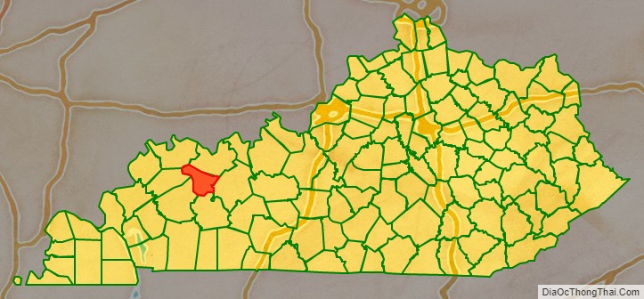
McLean County (/məˈkleɪn/) is a county located in the U.S. state of Kentucky. As of the 2020 census, the population was 9,152. Its county seat is Calhoun and its largest city is Livermore. McLean is a prohibition or dry county. McLean County is part of the Owensboro, KY Metropolitan Statistical Area, which has a population of some 114,752 (2010 census).
| Name: | McLean County |
|---|---|
| FIPS code: | 21-149 |
| State: | Kentucky |
| Founded: | 1854 |
| Named for: | Alney McLean |
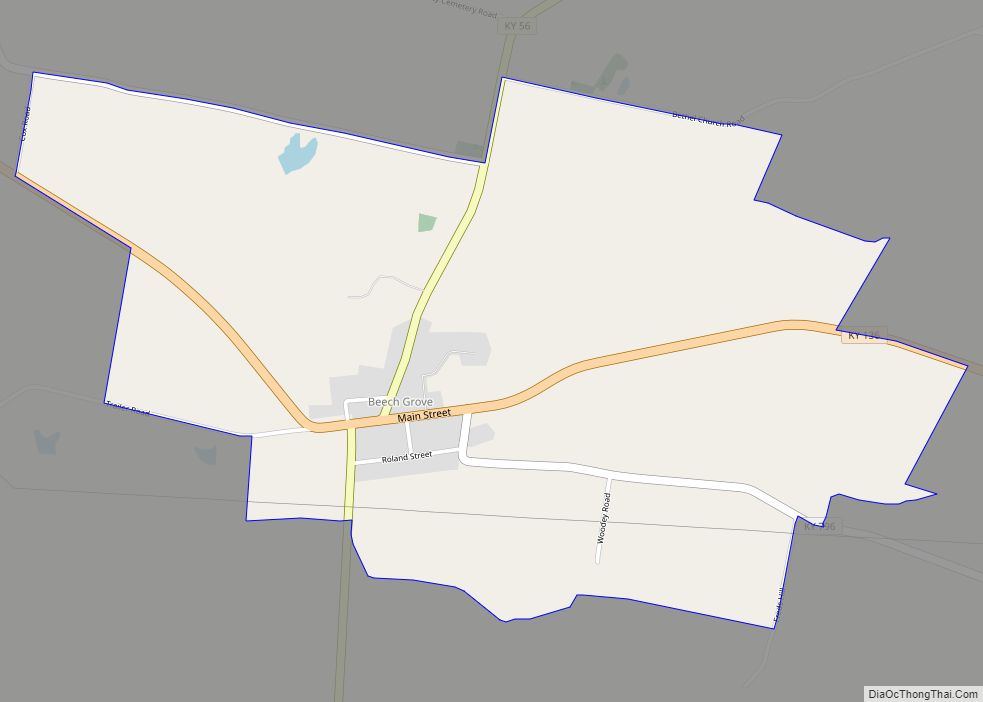
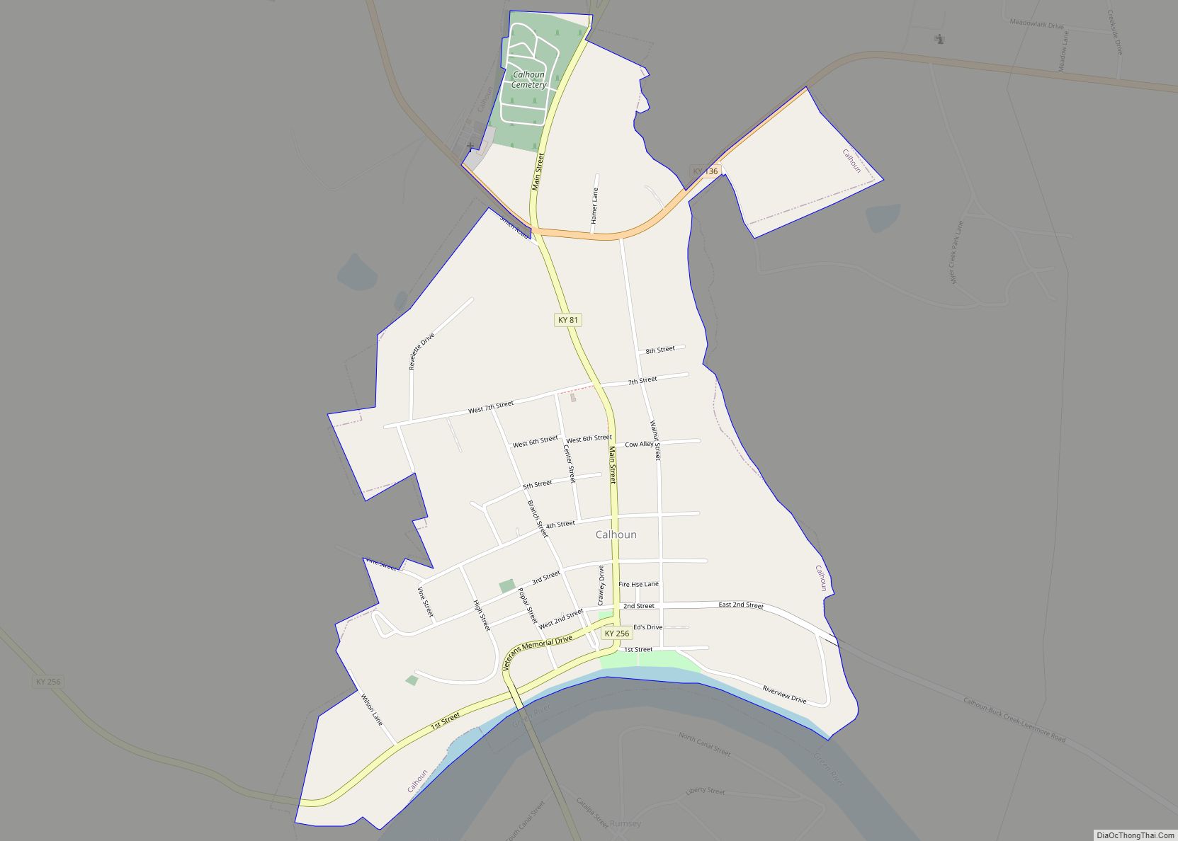
| Seat: | Calhoun |
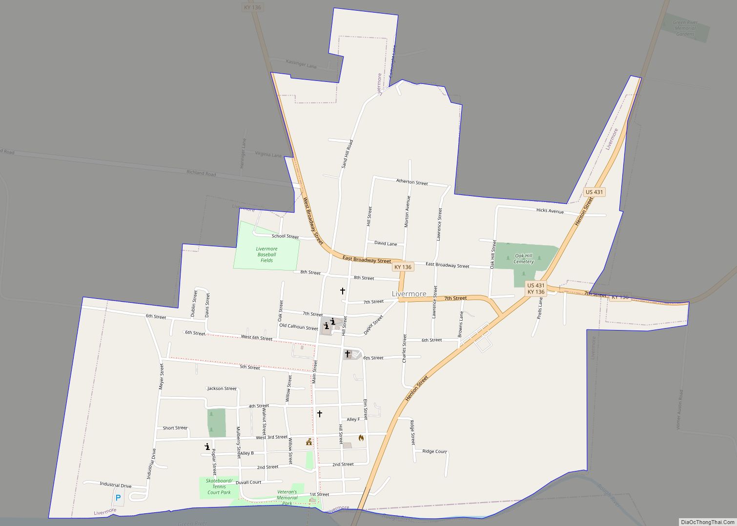
| Largest city: | Livermore |
| Total Area: | 256 sq mi (660 km²) |
| Land Area: | 252 sq mi (650 km²) |
| Total Population: | 9,152 |
| Population Density: | 36/sq mi (14/km²) |
| Time zone: | UTC−6 (Central) |
| Summer Time Zone (DST): | UTC−5 (CDT) |
| Website: | www.mcleancounty.ky.gov |
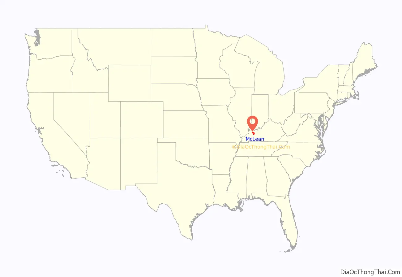
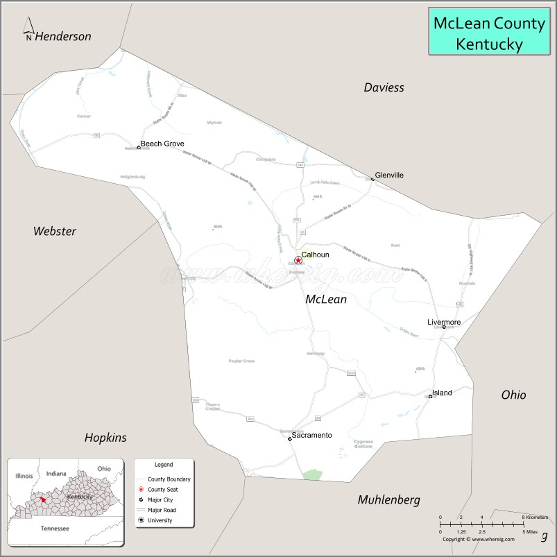
McLean County location map. Where is McLean County?
History
McLean County was formed by act of the Kentucky legislature on February 6, 1854, from portions of surrounding Daviess, Ohio, and Muhlenberg Counties. The county was named for Judge Alney McLean, founder of Greenville, the county seat of Muhlenberg County.
McLean County Road Map
Geography
According to the U.S. Census Bureau, the county has a total area of 256 square miles (660 km), of which 252 square miles (650 km) is land and 3.8 square miles (9.8 km) (1.5%) is water.
Features
McLean County is part of the Western Coal Fields region of Kentucky.
The county is transected southeast to northwest by Green River, the longest river entirely within the Commonwealth of Kentucky. Bridge crossings of Green River are at Calhoun, Livermore, east of Island, and west of Beech Grove. Green River is navigable throughout McLean County, with Army Corps of Engineers Lock and Dam #2 at Calhoun assisting boat navigation.
Adjacent counties
- Henderson County (northwest)
- Daviess County (northeast)
- Ohio County (east)
- Muhlenberg County (south)
- Hopkins County (southwest)
- Webster County (west)
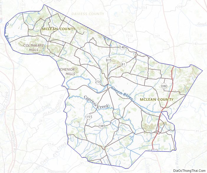
McLean County Topographic Map
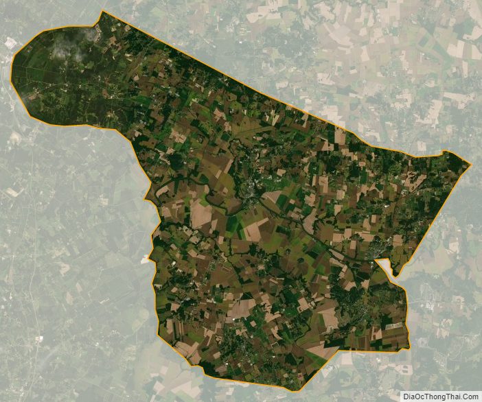
McLean County Satellite Map
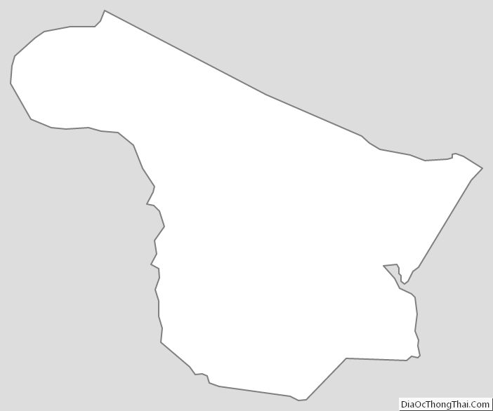
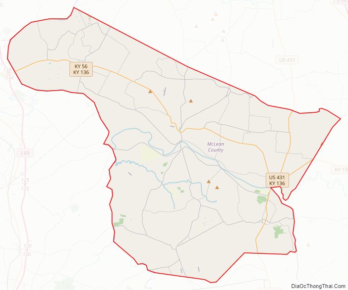
McLean County Outline Map