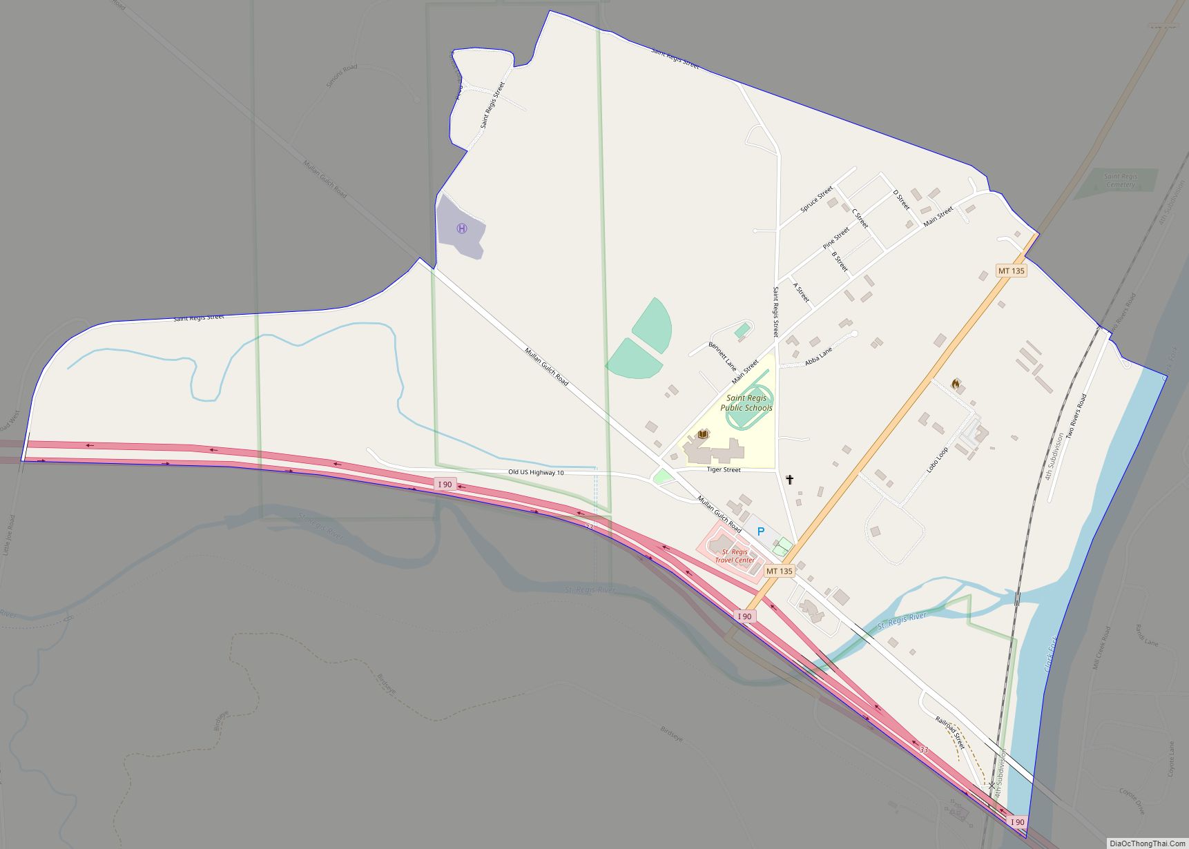
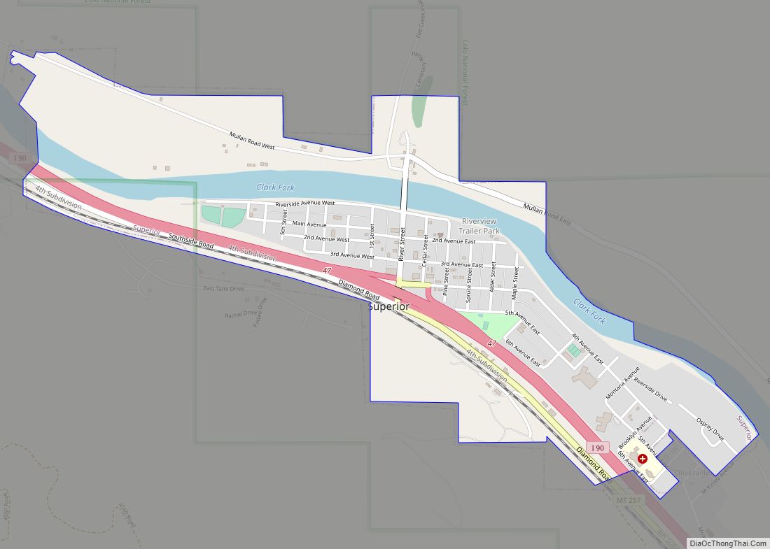
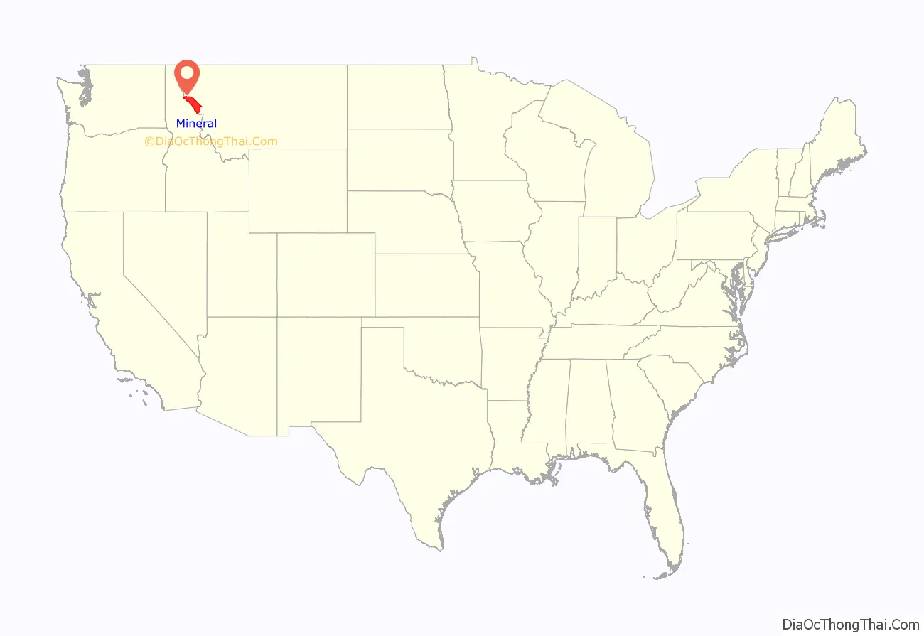
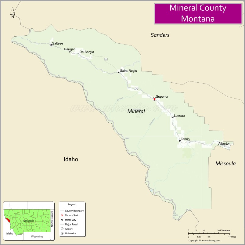
Mineral County is a county located in the U.S. state of Montana. As of the 2020 census, the population was 4,535. Its county seat is Superior.
| Name: | Mineral County |
|---|---|
| FIPS code: | 30-061 |
| State: | Montana |
| Founded: | 1914 |
| Seat: | Superior |
| Largest town: | Superior |
| Total Area: | 1,223 sq mi (3,170 km²) |
| Land Area: | 1,219 sq mi (3,160 km²) |
| Total Population: | 4,535 |
| Population Density: | 3.7/sq mi (1.4/km²) |
| Time zone: | UTC−7 (Mountain) |
| Summer Time Zone (DST): | UTC−6 (MDT) |
| Website: | www.co.mineral.mt.us |
Mineral County location map. Where is Mineral County?
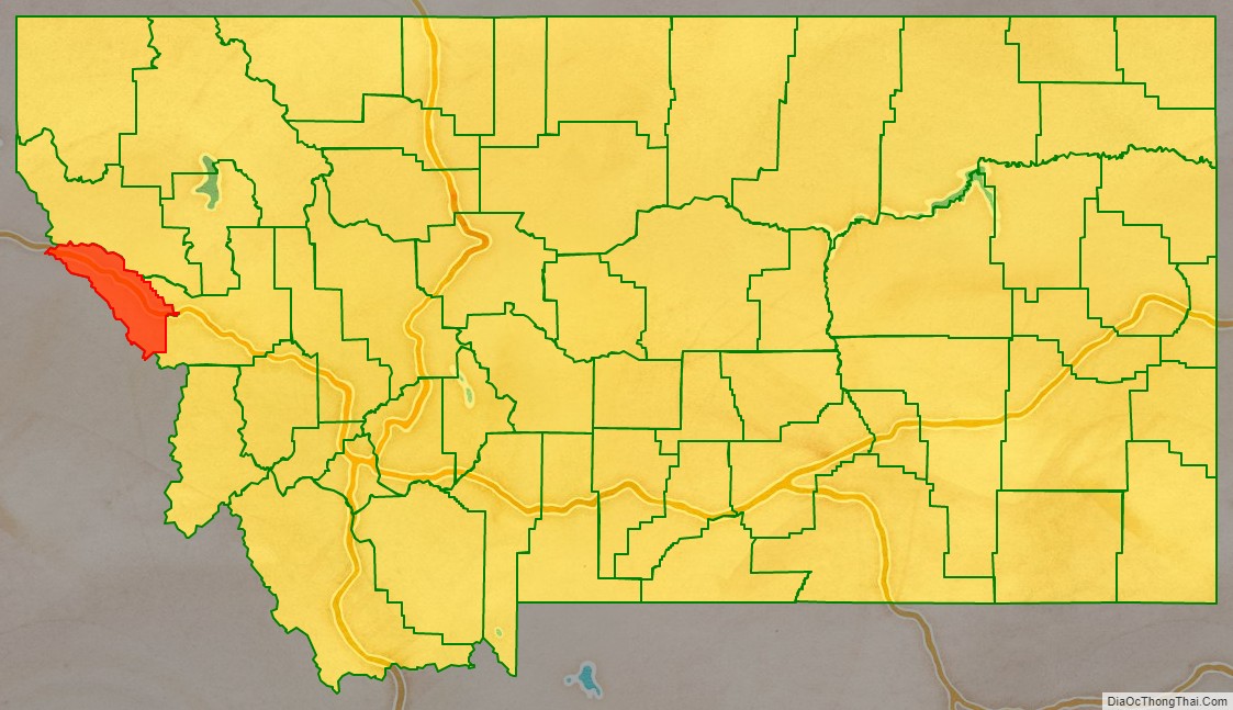
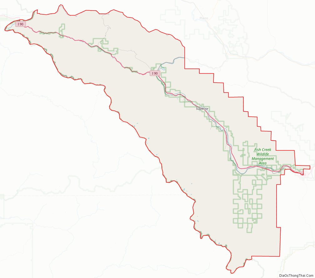
Mineral County Road Map
Geography
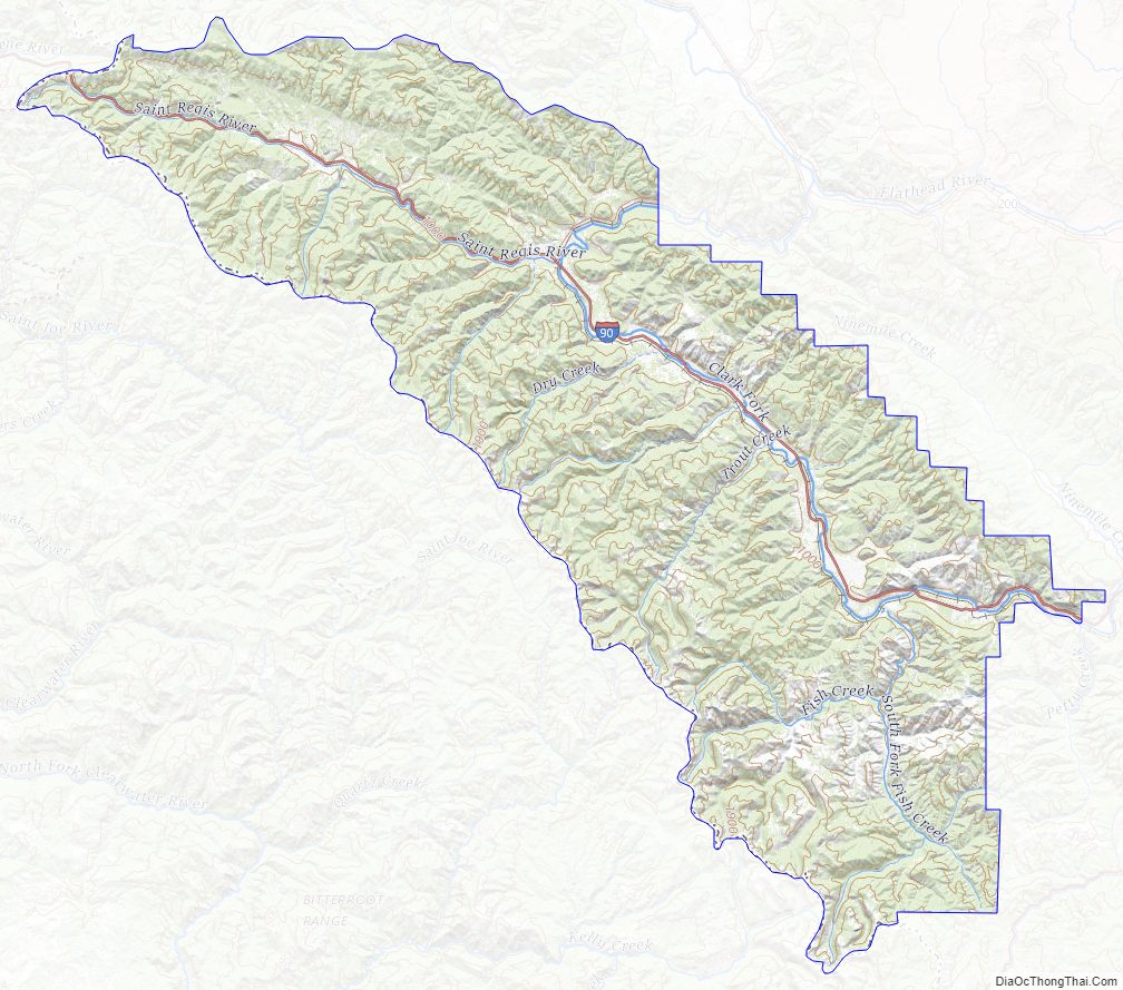
According to the United States Census Bureau, the county has a total area of 1,223 square miles (3,170 km), of which 1,219 square miles (3,160 km) is land and 3.8 square miles (9.8 km) (0.3%) is water.
Major highways
- Interstate 90
- U.S. Route 10 (Former)
- Montana Highway 135
Adjacent counties
- Sanders County – north
- Missoula County – east
- Clearwater County, Idaho – southwest/Pacific Time Border
- Shoshone County, Idaho – northwest/Pacific Time Border
National protected area
- Lolo National Forest (part)
Mineral County Topographic Map
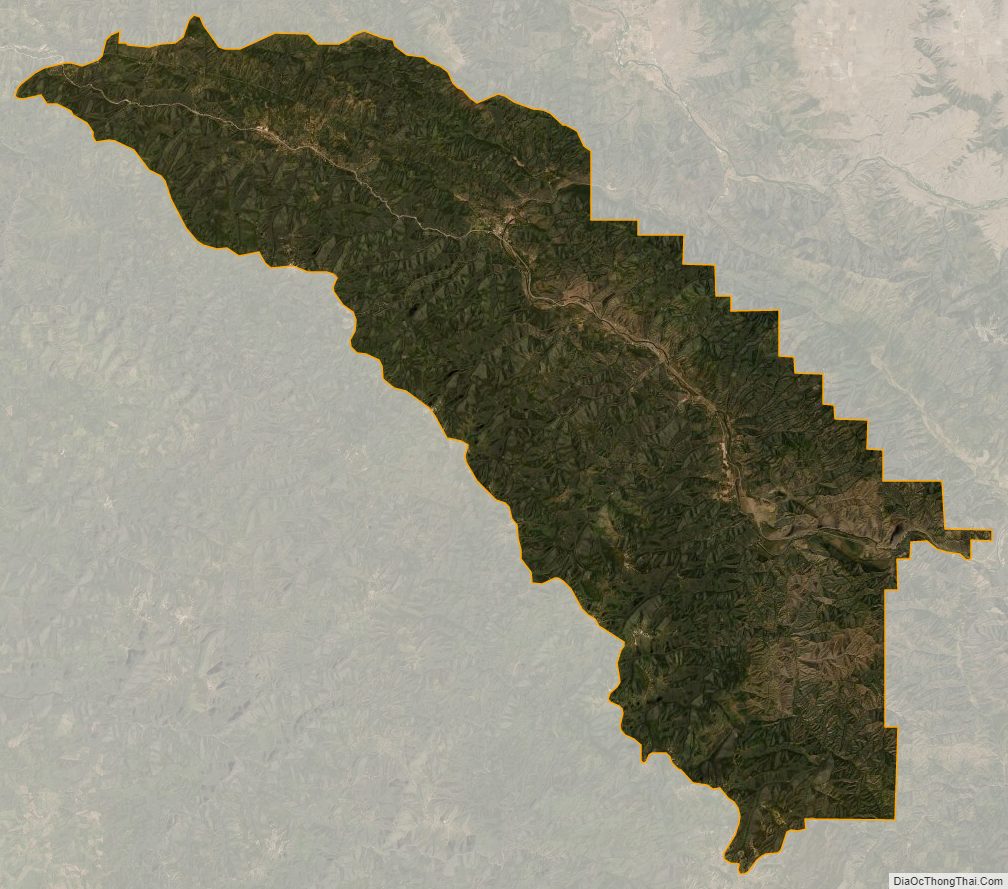
Mineral County Satellite Map
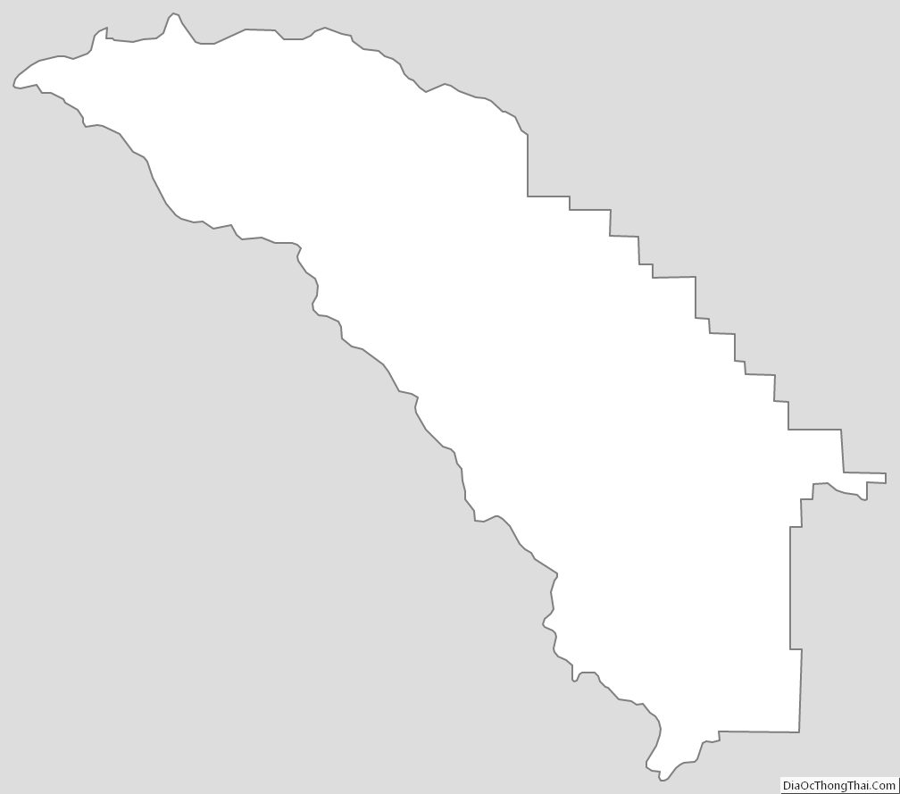
Mineral County Outline Map