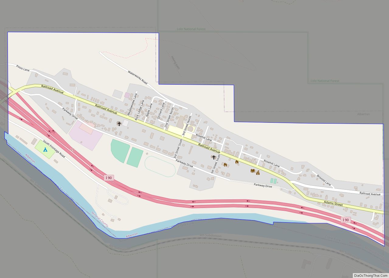
Alberton is a town in Mineral County, Montana, United States. The population was 452 at the 2020 census. Alberton was the location of a major chlorine chemical release in 1996. Alberton is the home of Northwest Indian Bible School, a Bible-training institution founded and operated by the Allegheny Wesleyan Methodist Connection (Original Allegheny Conference).
| Name: | Alberton town |
|---|---|
| LSAD Code: | 43 |
| LSAD Description: | town (suffix) |
| State: | Montana |
| County: | Mineral County |
| Elevation: | 3,055 ft (931 m) |
| Total Area: | 0.57 sq mi (1.49 km²) |
| Land Area: | 0.55 sq mi (1.42 km²) |
| Water Area: | 0.03 sq mi (0.07 km²) |
| Total Population: | 452 |
| Population Density: | 826.33/sq mi (318.88/km²) |
| ZIP code: | 59820 |
| Area code: | 406 |
| FIPS code: | 3000700 |
| GNISfeature ID: | 2412342 |
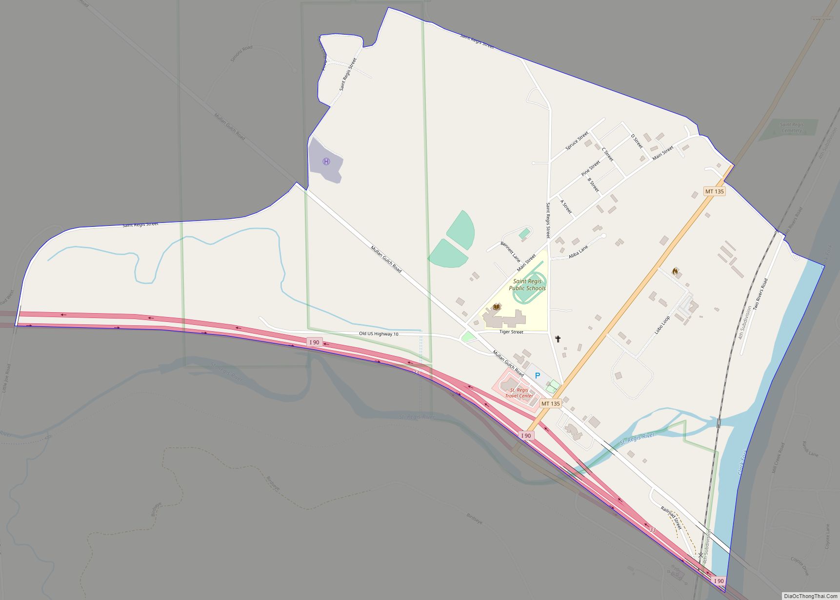
Online Interactive Map
Click on ![]() to view map in "full screen" mode.
to view map in "full screen" mode.
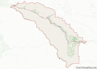
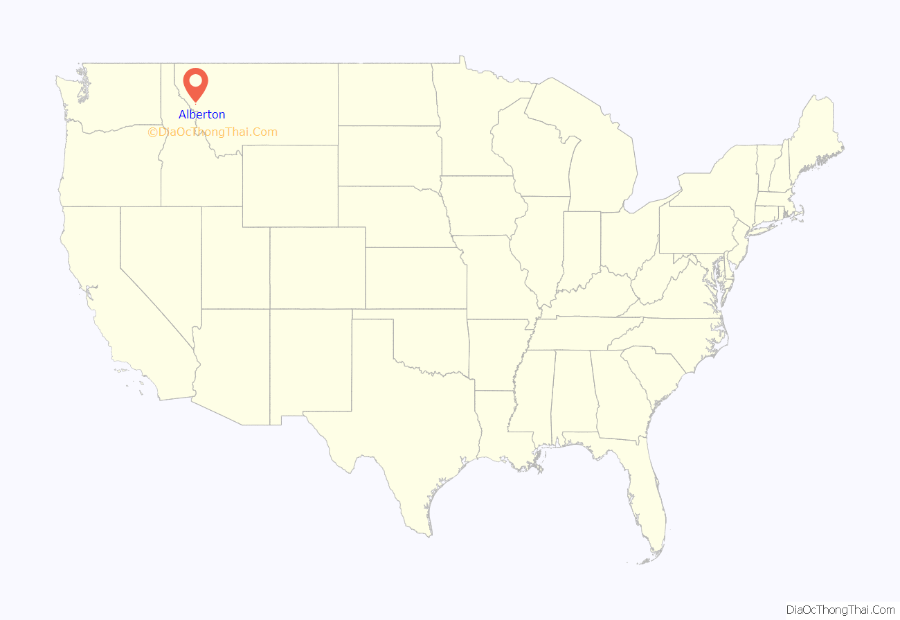
Alberton location map. Where is Alberton town?

History
A post office called Alberton has been in operation since 1909. The town was named for Albert J. Earling, president of the Chicago, Milwaukee, St. Paul and Pacific Railroad.
On April 11, 1996, a Montana Rail Link train carrying chlorine derailed near Alberton. Three hundred fifty people were injured by chlorine inhalation. One thousand people were evacuated from Alberton and from Frenchtown. Interstate 90 was shut down for nineteen days. The incident has been described as “the largest chemical spill from a train in United States history.”
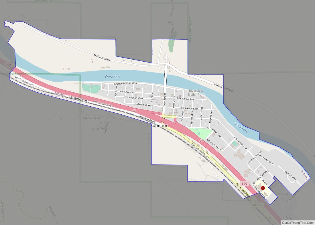
Alberton Road Map

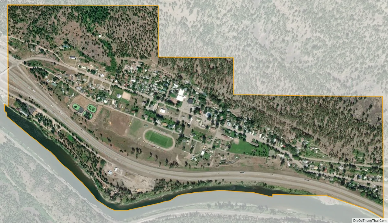
Alberton city Satellite Map
Geography
Alberton is located on Interstate 90 at exit 75. The Clark Fork River is to the south.
According to the United States Census Bureau, the town has a total area of 0.60 square miles (1.55 km), of which 0.57 square miles (1.48 km) is land and 0.03 square miles (0.08 km) is water.
See also
Map of Montana State and its subdivision:- Beaverhead
- Big Horn
- Blaine
- Broadwater
- Carbon
- Carter
- Cascade
- Chouteau
- Custer
- Daniels
- Dawson
- Deer Lodge
- Fallon
- Fergus
- Flathead
- Gallatin
- Garfield
- Glacier
- Golden Valley
- Granite
- Hill
- Jefferson
- Judith Basin
- Lake
- Lewis and Clark
- Liberty
- Lincoln
- Madison
- McCone
- Meagher
- Mineral
- Missoula
- Musselshell
- Park
- Petroleum
- Phillips
- Pondera
- Powder River
- Powell
- Prairie
- Ravalli
- Richland
- Roosevelt
- Rosebud
- Sanders
- Sheridan
- Silver Bow
- Stillwater
- Sweet Grass
- Teton
- Toole
- Treasure
- Valley
- Wheatland
- Wibaux
- Yellowstone
- Alabama
- Alaska
- Arizona
- Arkansas
- California
- Colorado
- Connecticut
- Delaware
- District of Columbia
- Florida
- Georgia
- Hawaii
- Idaho
- Illinois
- Indiana
- Iowa
- Kansas
- Kentucky
- Louisiana
- Maine
- Maryland
- Massachusetts
- Michigan
- Minnesota
- Mississippi
- Missouri
- Montana
- Nebraska
- Nevada
- New Hampshire
- New Jersey
- New Mexico
- New York
- North Carolina
- North Dakota
- Ohio
- Oklahoma
- Oregon
- Pennsylvania
- Rhode Island
- South Carolina
- South Dakota
- Tennessee
- Texas
- Utah
- Vermont
- Virginia
- Washington
- West Virginia
- Wisconsin
- Wyoming