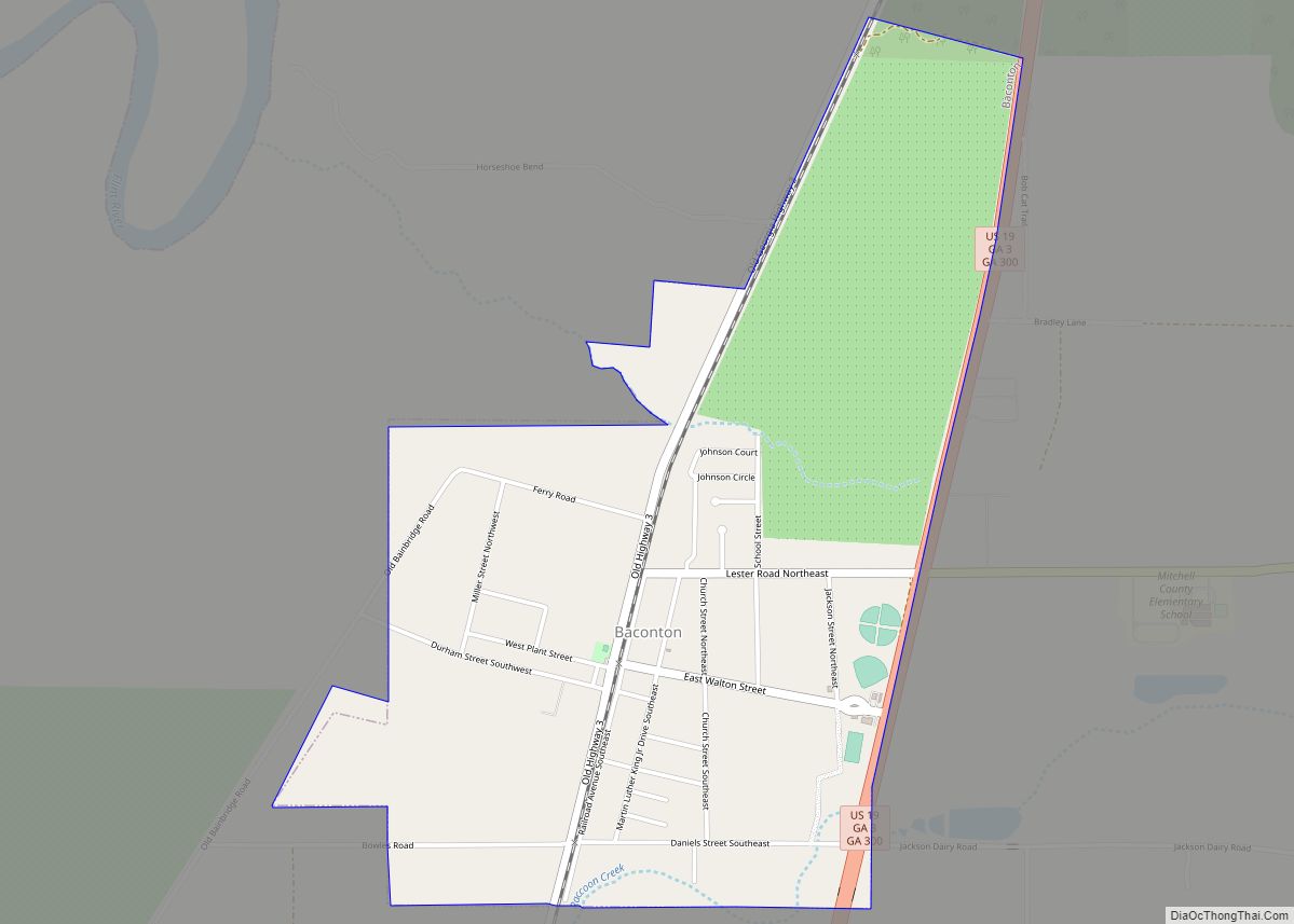
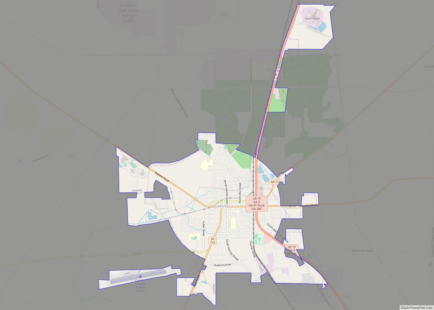
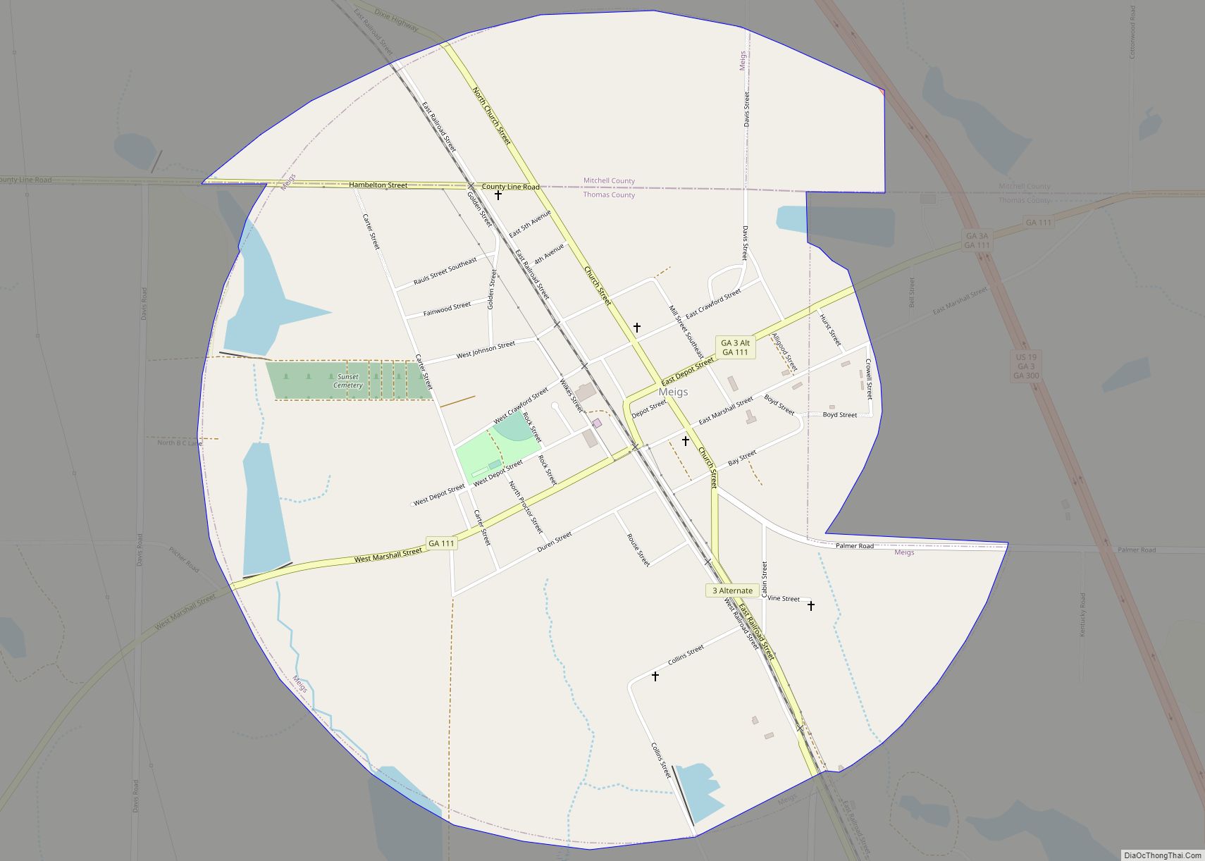
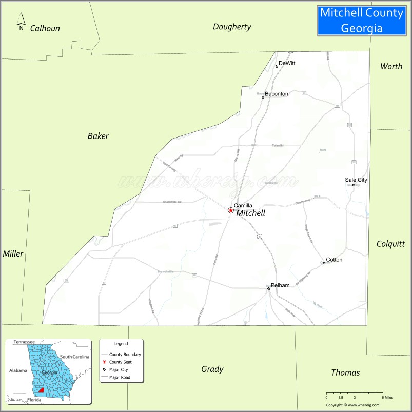
Mitchell County is a county in the U.S. state of Georgia. As of the 2020 census, the population was 21,755. The county seat is Camilla. Mitchell County was created on December 21, 1857.
| Name: | Mitchell County |
|---|---|
| FIPS code: | 13-205 |
| State: | Georgia |
| Founded: | 1857 |
| Seat: | Camilla |
| Largest city: | Camilla |
| Total Area: | 514 sq mi (1,330 km²) |
| Land Area: | 512 sq mi (1,330 km²) |
| Total Population: | 21,755 |
| Population Density: | 42/sq mi (16/km²) |
| Time zone: | UTC−5 (Eastern) |
| Summer Time Zone (DST): | UTC−4 (EDT) |
| Website: | www.mitchellcountyga.net |
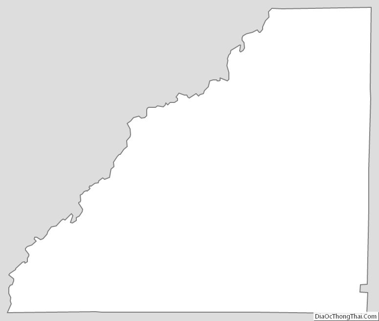
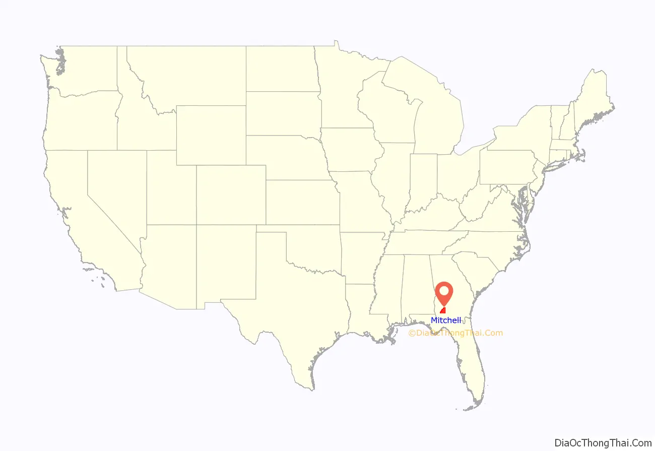
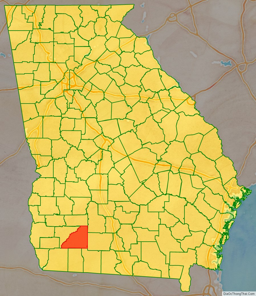
Mitchell County location map. Where is Mitchell County?
History
Mitchell County was created out of Baker County on December 21, 1857. It is the state’s 123rd county.
Name origin
Sources conflict as to whether Mitchell County was named for David Brydie Mitchell, the 27th Governor of Georgia, or for Henry Mitchell, a general in the Revolutionary War. However, it is most likely that the county was named for General Henry Mitchell, as a marker outside of the Mitchell County Courthouse says, “However, the Georgia Laws of 1857 (pages 38-40), creating Mitchell County, say the county was named in honor of Gen. Henry Mitchell….”
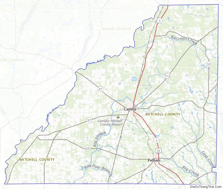
Mitchell County Road Map
Geography
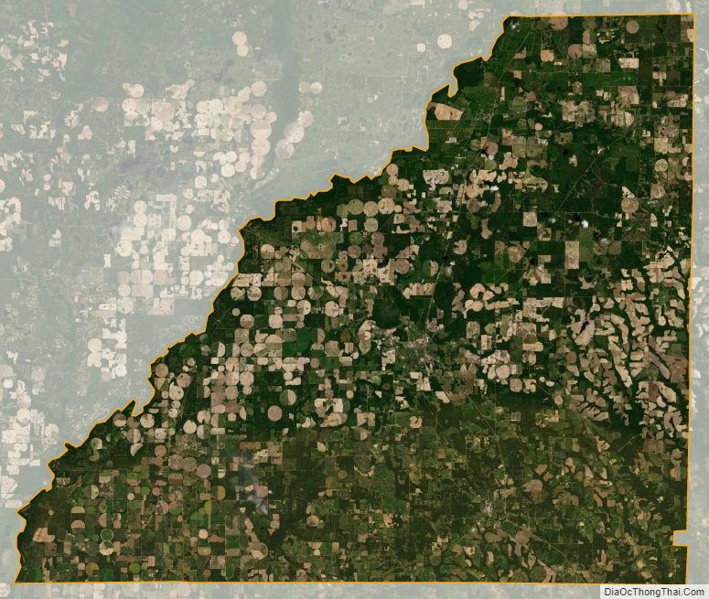
According to the U.S. Census Bureau, the county has a total area of 514 square miles (1,330 km), of which 512 square miles (1,330 km) is land and 1.7 square miles (4.4 km) (0.3%) is water.
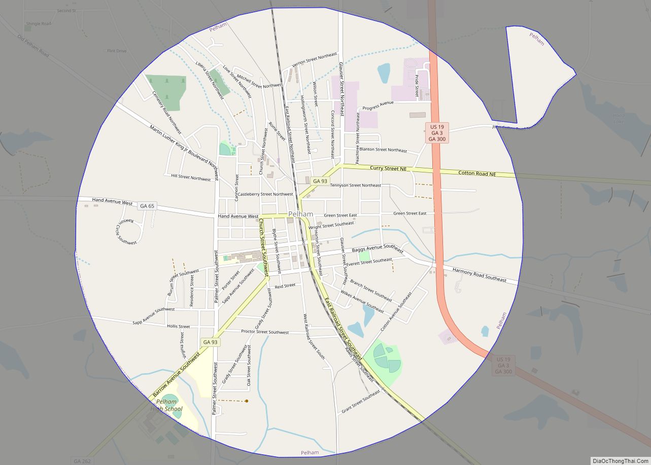
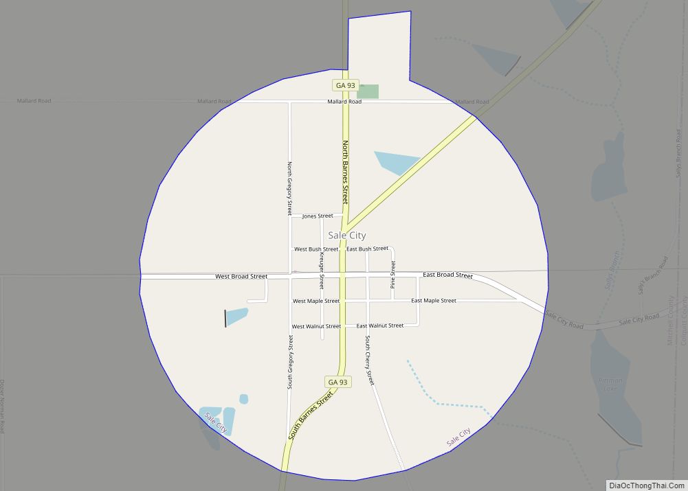
The bulk of Mitchell County is located in the Lower Flint River sub-basin of the ACF River Basin (Apalachicola-Chattahoochee-Flint River Basin). The county’s southeastern corner, bordered by a line from Sale City southwest through Pelham, is located in the Lower Ochlockonee River sub-basin of the same Ochlockonee River basin.
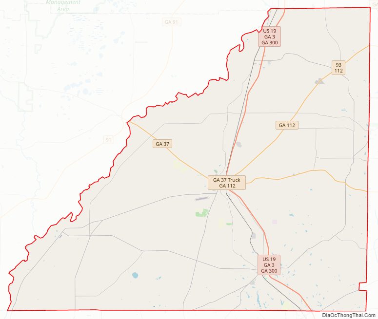
Major highways
- U.S. Route 19
- State Route 3
- State Route 37
- State Route 37 Connector
- State Route 65
- State Route 93
- State Route 97
- State Route 111
- State Route 112
- State Route 262
- State Route 270
- State Route 300
- State Route 311
Adjacent counties
- Dougherty County (north)
- Worth County (northeast)
- Colquitt County (east)
- Thomas County (southeast)
- Grady County (south)
- Decatur County (southwest)
- Baker County (west)
Mitchell County Topographic Map
Mitchell County Satellite Map
Mitchell County Outline Map