Camilla is a city in Mitchell County, Georgia, United States, and is its county seat. As of the 2020 census, the city had a population of 5,187, down from 5,360 in 2010.
| Name: | Camilla city |
|---|---|
| LSAD Code: | 25 |
| LSAD Description: | city (suffix) |
| State: | Georgia |
| County: | Mitchell County |
| Elevation: | 177 ft (54 m) |
| Total Area: | 6.62 sq mi (17.13 km²) |
| Land Area: | 6.60 sq mi (17.10 km²) |
| Water Area: | 0.01 sq mi (0.03 km²) |
| Total Population: | 5,187 |
| Population Density: | 785.67/sq mi (303.34/km²) |
| ZIP code: | 31730 |
| Area code: | 229 |
| FIPS code: | 1312624 |
| GNISfeature ID: | 0331312 |
| Website: | www.camillaga.net |
Online Interactive Map
Click on ![]() to view map in "full screen" mode.
to view map in "full screen" mode.
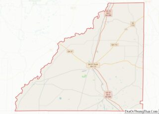
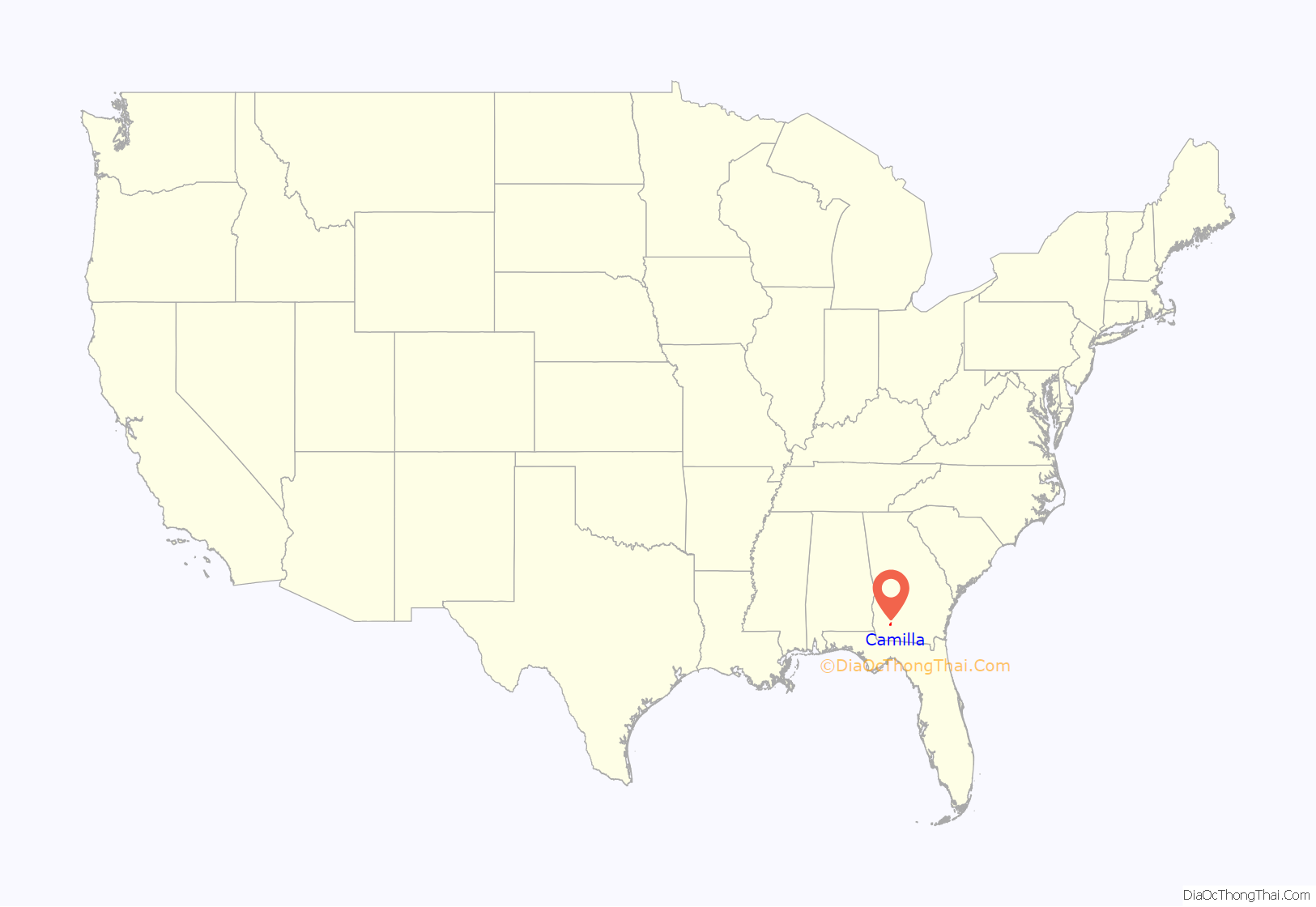
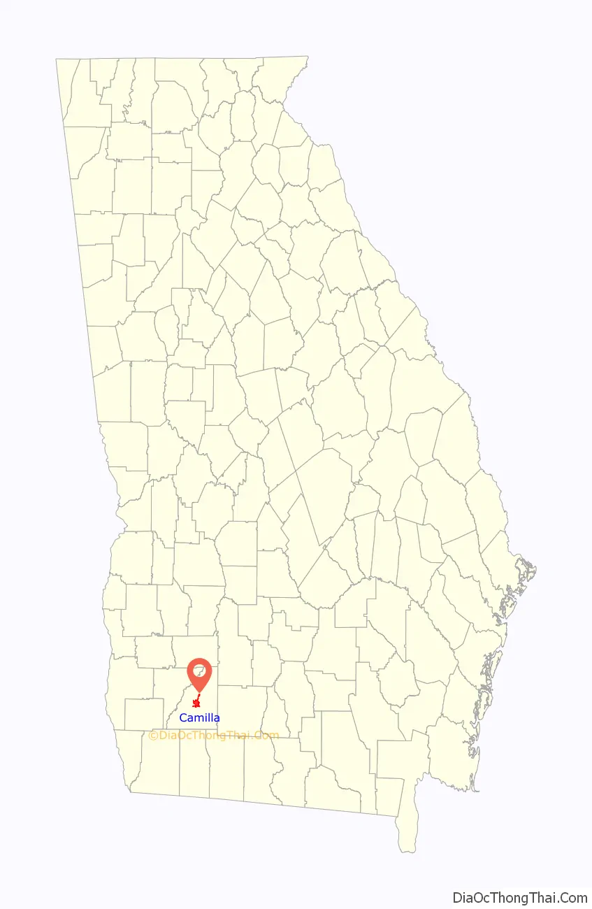
Camilla location map. Where is Camilla city?
History
The city was incorporated in 1858. The name “Camilla” was chosen in honor of the granddaughter of Henry Mitchell, a Revolutionary War general for whom Mitchell County was named.
Camilla and Mitchell County were originally Creek country, surrendered to the United States in the 1814 Treaty of Fort Jackson. Georgia divided the land ceded by Native Americans into lots to be given away in land lotteries. The lottery of 1820 awarded lands covering much of the southwest section of the state (applying only to land south of the future Lee County line and extending west to the Chattahoochee River and east to settled counties in east Georgia), including the area later known as Mitchell County. Despite having access to free land, few people moved to the region. Citizens hesitated to improve land, according to an early twentieth-century history the region “which God Almighty had left in an unfinished condition.” It took approximately forty years (1820–1857) for the area to obtain its necessary legal population to become a separate county, after which Camilla became the county seat.
In the early 2000s, the city was hit by two disastrous sets of tornadoes, both occurring in the dark hours of the early morning and both going through roughly the same area. The first outbreak was on February 14, 2000; the second was on March 20, 2003.
Camilla massacre
Camilla became the site of a racially-motivated political white-on-black riot on Saturday, September 19, 1868. Determined to promote political and social reform with an organized rally, 150–300 freedmen, along with Republican political candidates, marched toward the town’s courthouse square for the rally. The local sheriff and “citizens committee” in the majority-white town warned the black and white activists of the impending violence and demanded that they forfeit their guns, even though carrying weapons was customary at the time. The marchers refused to give up their guns and continued to the courthouse square, where a group of local whites, quickly deputized by the sheriff, fired upon them. This assault forced the Republicans and freedmen to retreat as locals gave chase into the swamps, killing an estimated nine to fifteen of the black rally participants while wounding forty others. “Whites proceeded through the countryside over the next two weeks, beating and warning Negroes that they would be killed if they tried to vote in the coming election.” The Camilla Massacre was the culmination of smaller acts of violence committed by white inhabitants that had plagued southwest Georgia since the end of the Civil War.
Beating of Marion King
On July 23, 1962, a group of civil rights activists tried to visit fellow demonstrators from Albany, Georgia, who had been jailed in Camilla. While the rally took place, Marion King, wife of Albany Movement’s vice president Slater King, was beaten to the ground and kicked by Camilla police guards until she was unconscious. Mrs. King was pregnant at the time and had her young children with her. She suffered a miscarriage after the ordeal. The 2012 song “Camilla” from the eponymous album by Caroline Herring pays a tribute to Mrs. King’s memory.
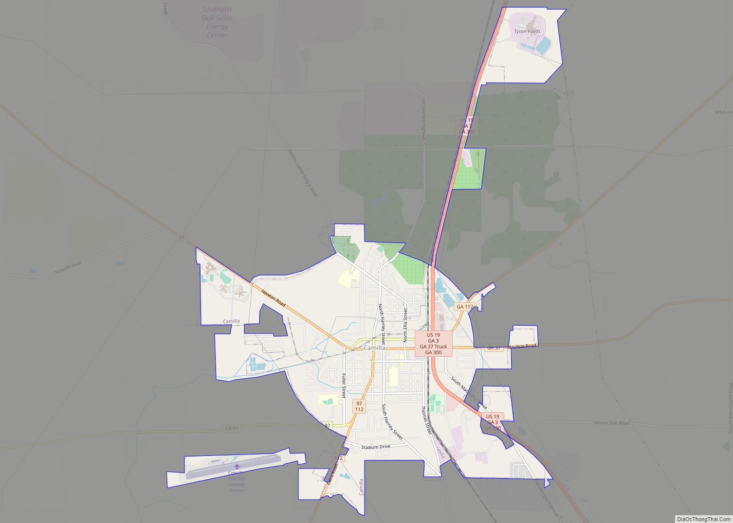
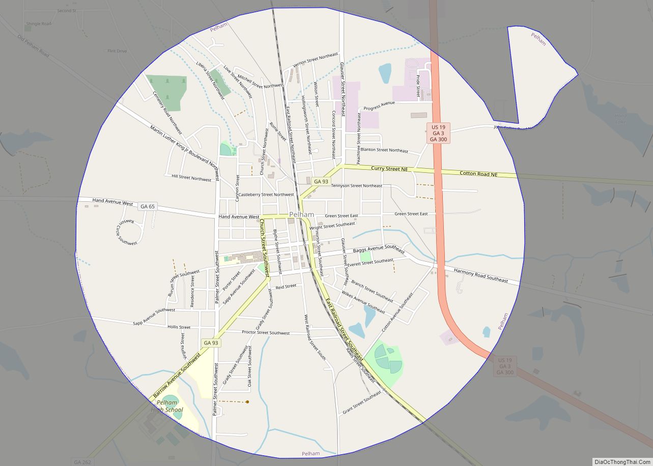
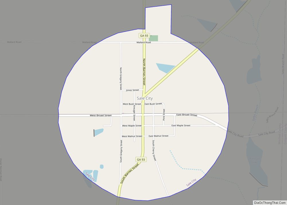
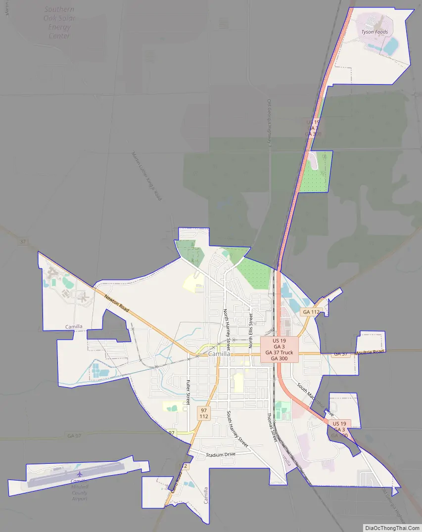
Camilla Road Map
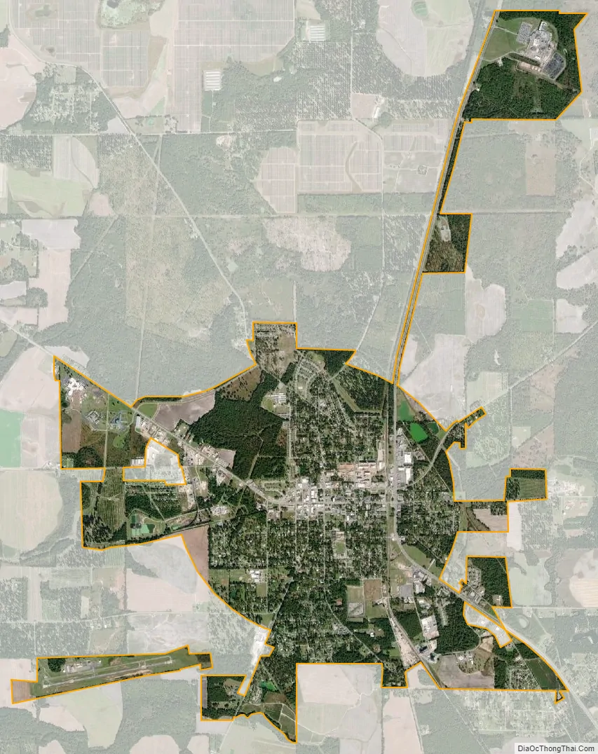
Camilla city Satellite Map
Geography
Camilla is located in central Mitchell County at 31°13′49″N 84°12′33″W / 31.23028°N 84.20917°W / 31.23028; -84.20917 (31.230243, −84.209102). U.S. Route 19 is the main highway through the city, passing east of the downtown. US 19 leads north 27 miles (43 km) to Albany and southeast 32 miles (51 km) to Thomasville. State Routes 37 and 112 pass through the center of Camilla as Broad Street. Route 37 leads east 27 miles (43 km) to Moultrie and northwest 10 miles (16 km) to Newton, while Route 112 leads northeast 32 miles (51 km) to Sylvester and south 26 miles (42 km) to Cairo. State Route 97 leads southwest from Camilla 35 miles (56 km) to Bainbridge.
According to the United States Census Bureau, the city has a total area of 6.6 square miles (17 km), of which 0.01 square miles (0.03 km), or 0.20%, are water.
Climate
The climate in this area is characterized by hot, humid summers and generally mild to cool winters. According to the Köppen Climate Classification system, Camilla has a humid subtropical climate, abbreviated “Cfa” on climate maps. Camilla has a relatively wet climate with high precipitation year-round, as typical of the eastern United States. Its southerly latitude in Georgia causes a greater tropical influence resulting in very mild winters in comparison with Atlanta for example.
See also
Map of Georgia State and its subdivision:- Appling
- Atkinson
- Bacon
- Baker
- Baldwin
- Banks
- Barrow
- Bartow
- Ben Hill
- Berrien
- Bibb
- Bleckley
- Brantley
- Brooks
- Bryan
- Bulloch
- Burke
- Butts
- Calhoun
- Camden
- Candler
- Carroll
- Catoosa
- Charlton
- Chatham
- Chattahoochee
- Chattooga
- Cherokee
- Clarke
- Clay
- Clayton
- Clinch
- Cobb
- Coffee
- Colquitt
- Columbia
- Cook
- Coweta
- Crawford
- Crisp
- Dade
- Dawson
- Decatur
- DeKalb
- Dodge
- Dooly
- Dougherty
- Douglas
- Early
- Echols
- Effingham
- Elbert
- Emanuel
- Evans
- Fannin
- Fayette
- Floyd
- Forsyth
- Franklin
- Fulton
- Gilmer
- Glascock
- Glynn
- Gordon
- Grady
- Greene
- Gwinnett
- Habersham
- Hall
- Hancock
- Haralson
- Harris
- Hart
- Heard
- Henry
- Houston
- Irwin
- Jackson
- Jasper
- Jeff Davis
- Jefferson
- Jenkins
- Johnson
- Jones
- Lamar
- Lanier
- Laurens
- Lee
- Liberty
- Lincoln
- Long
- Lowndes
- Lumpkin
- Macon
- Madison
- Marion
- McDuffie
- McIntosh
- Meriwether
- Miller
- Mitchell
- Monroe
- Montgomery
- Morgan
- Murray
- Muscogee
- Newton
- Oconee
- Oglethorpe
- Paulding
- Peach
- Pickens
- Pierce
- Pike
- Polk
- Pulaski
- Putnam
- Quitman
- Rabun
- Randolph
- Richmond
- Rockdale
- Schley
- Screven
- Seminole
- Spalding
- Stephens
- Stewart
- Sumter
- Talbot
- Taliaferro
- Tattnall
- Taylor
- Telfair
- Terrell
- Thomas
- Tift
- Toombs
- Towns
- Treutlen
- Troup
- Turner
- Twiggs
- Union
- Upson
- Walker
- Walton
- Ware
- Warren
- Washington
- Wayne
- Webster
- Wheeler
- White
- Whitfield
- Wilcox
- Wilkes
- Wilkinson
- Worth
- Alabama
- Alaska
- Arizona
- Arkansas
- California
- Colorado
- Connecticut
- Delaware
- District of Columbia
- Florida
- Georgia
- Hawaii
- Idaho
- Illinois
- Indiana
- Iowa
- Kansas
- Kentucky
- Louisiana
- Maine
- Maryland
- Massachusetts
- Michigan
- Minnesota
- Mississippi
- Missouri
- Montana
- Nebraska
- Nevada
- New Hampshire
- New Jersey
- New Mexico
- New York
- North Carolina
- North Dakota
- Ohio
- Oklahoma
- Oregon
- Pennsylvania
- Rhode Island
- South Carolina
- South Dakota
- Tennessee
- Texas
- Utah
- Vermont
- Virginia
- Washington
- West Virginia
- Wisconsin
- Wyoming