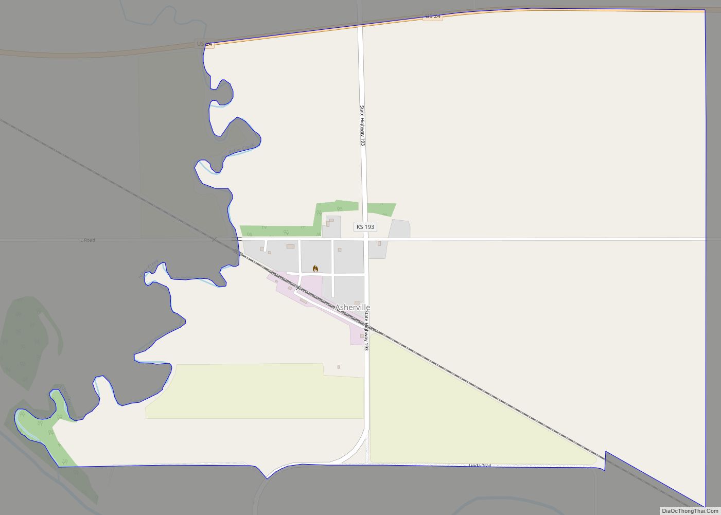
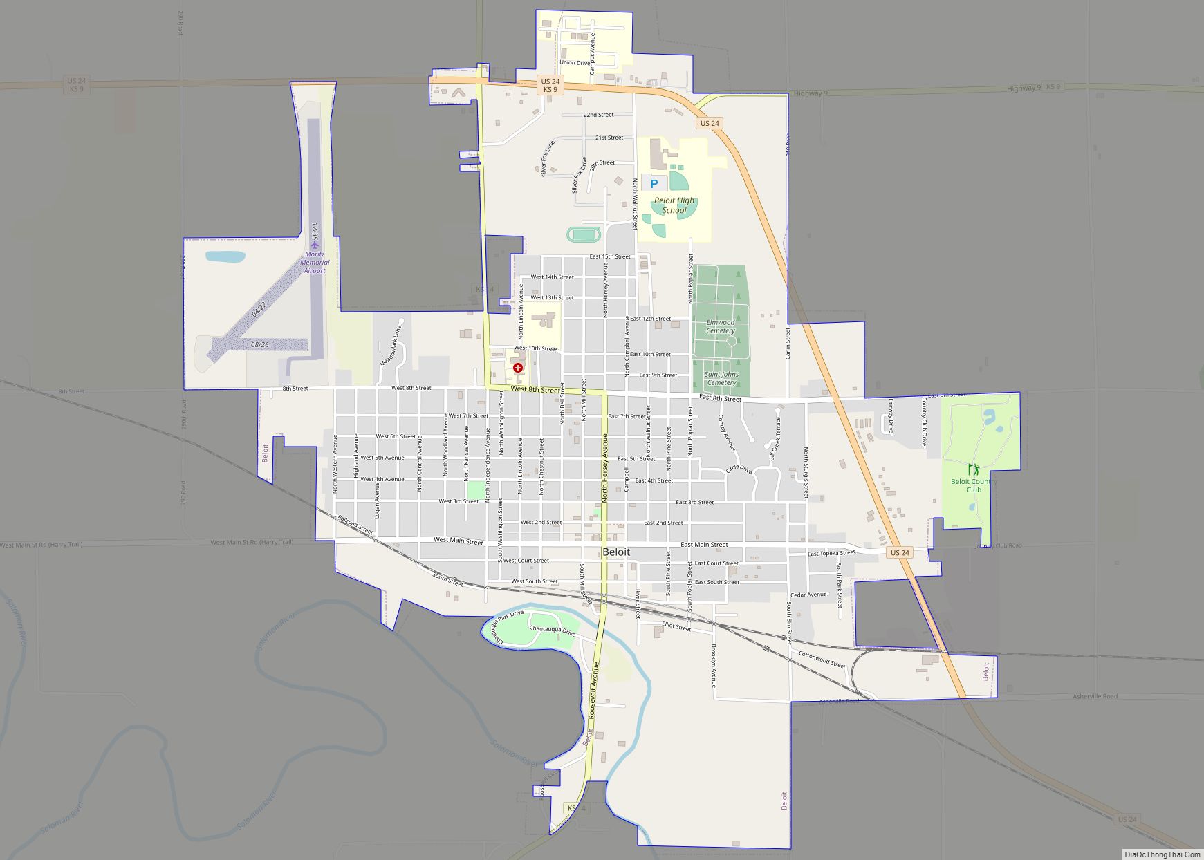
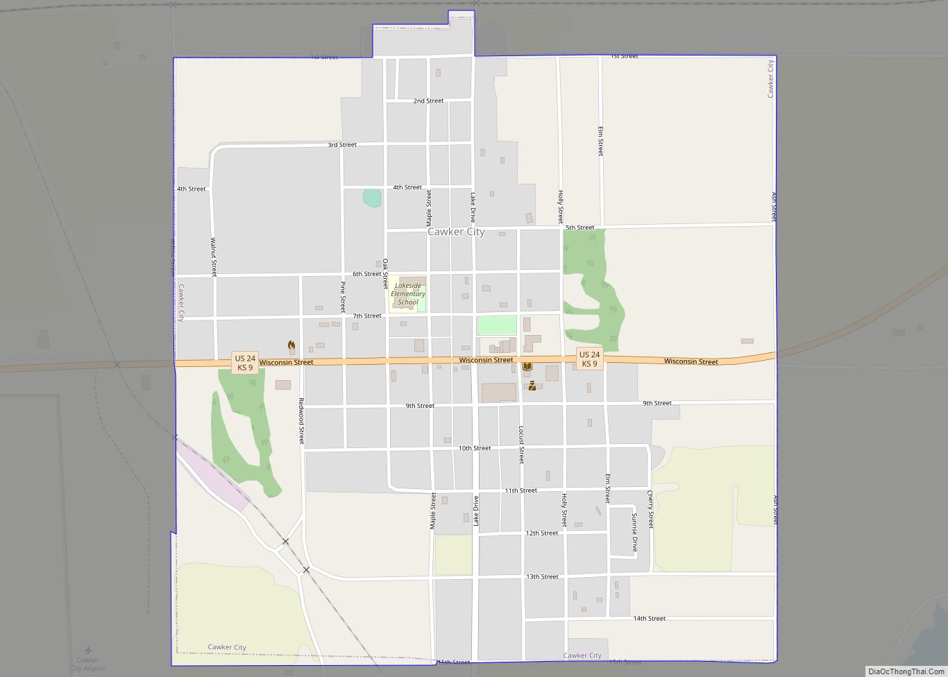
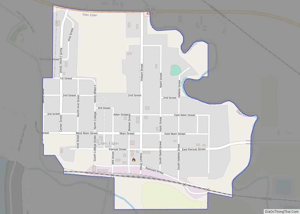
Mitchell County (standard abbreviation: MC) is a county located in the U.S. state of Kansas. As of the 2020 census, the county population was 5,796. The largest city and county seat is Beloit.
| Name: | Mitchell County |
|---|---|
| FIPS code: | 20-123 |
| State: | Kansas |
| Founded: | February 26, 1867 |
| Named for: | William D. Mitchell |
| Seat: | Beloit |
| Largest city: | Beloit |
| Total Area: | 719 sq mi (1,860 km²) |
| Land Area: | 702 sq mi (1,820 km²) |
| Total Population: | 5,796 |
| Population Density: | 8.3/sq mi (3.2/km²) |
| Time zone: | UTC−6 (Central) |
| Summer Time Zone (DST): | UTC−5 (CDT) |
| Website: | County Website |
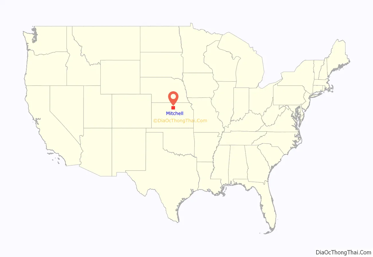
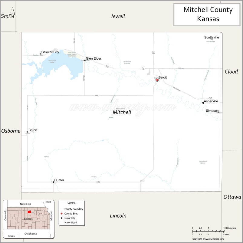
Mitchell County location map. Where is Mitchell County?
History
Early history
For many millennia, the Great Plains of North America was inhabited by nomadic Native Americans. From the 16th century to 18th century, the Kingdom of France claimed ownership of large parts of North America. In 1762, after the French and Indian War, France secretly ceded New France to Spain, per the Treaty of Fontainebleau.
19th century
In 1802, Spain returned most of the land to France, but keeping title to about 7,500 square miles. In 1803, most of the land for modern day Kansas was acquired by the United States from France as part of the 828,000 square mile Louisiana Purchase for 2.83 cents per acre.
In 1854, the Kansas Territory was organized, then in 1861 Kansas became the 34th U.S. state. In 1867, Mitchell County was established.
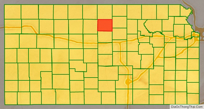
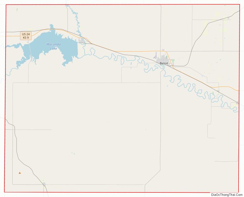
Mitchell County Road Map
Geography
According to the U.S. Census Bureau, the county has a total area of 719 square miles (1,860 km), of which 702 square miles (1,820 km) is land and 17 square miles (44 km) (2.4%) is water.
Adjacent counties
- Jewell County (north)
- Cloud County (east)
- Ottawa County (southeast)
- Lincoln County (south)
- Osborne County (west)
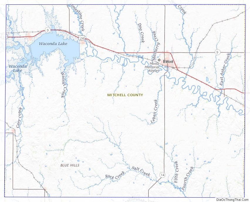
Mitchell County Topographic Map
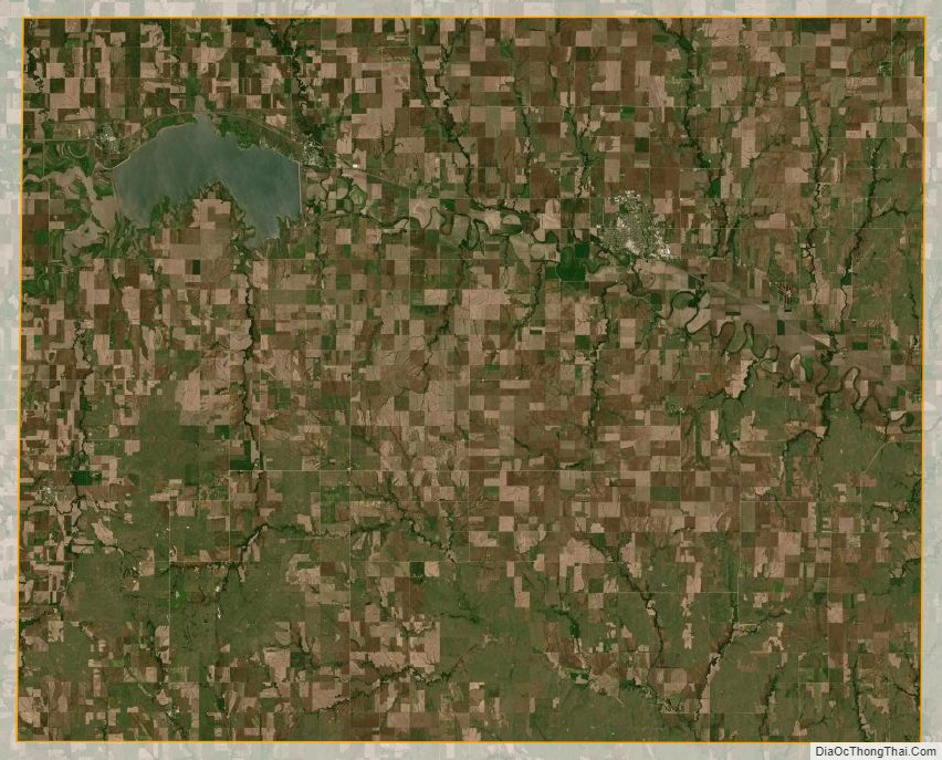
Mitchell County Satellite Map
Mitchell County Outline Map