Monroeville is the county seat of Monroe County, Alabama, United States. At the 2020 census its population was 5,951.
Monroeville is known as the hometown of two prominent writers of the post-World War II period, Truman Capote and Harper Lee, who were childhood friends in the 1930s. Lee’s 1960 novel To Kill a Mockingbird earned her the Pulitzer Prize. The lasting fame of To Kill a Mockingbird became a tourist draw for the town. In 1997, the Alabama Legislature designated Monroeville and Monroe County as the “Literary Capital of Alabama”. Monroeville is also the home of Walter McMillian, who was defended by Bryan Stevenson in overturning a wrongful conviction and featured in his memoir Just Mercy (2014), as well as the 2019 eponymous movie adaptation. Monroeville is also the birthplace of Cynthia Tucker, born March 13, 1955, an American journalist whose weekly column is syndicated by Universal Uclick. She received a Pulitzer Prize for Commentary in 2007 for her work at the Atlanta Journal-Constitution, where she served as editorial page editor. She was also a Pulitzer finalist in 2004 and 2006.
| Name: | Monroeville city |
|---|---|
| LSAD Code: | 25 |
| LSAD Description: | city (suffix) |
| State: | Alabama |
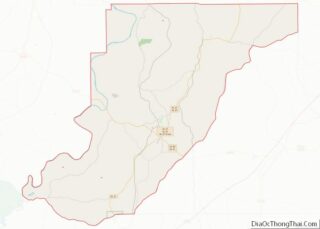
| County: | Monroe County |
| Elevation: | 413 ft (126 m) |
| Total Area: | 13.36 sq mi (34.61 km²) |
| Land Area: | 13.35 sq mi (34.59 km²) |
| Water Area: | 0.01 sq mi (0.02 km²) |
| Total Population: | 5,951 |
| Population Density: | 445.63/sq mi (172.06/km²) |
| ZIP code: | 36460–36462 |
| FIPS code: | 0150192 |
| GNISfeature ID: | 0152359 |
| Website: | www.monroevilleal.gov |
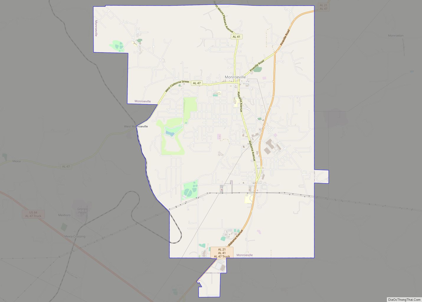
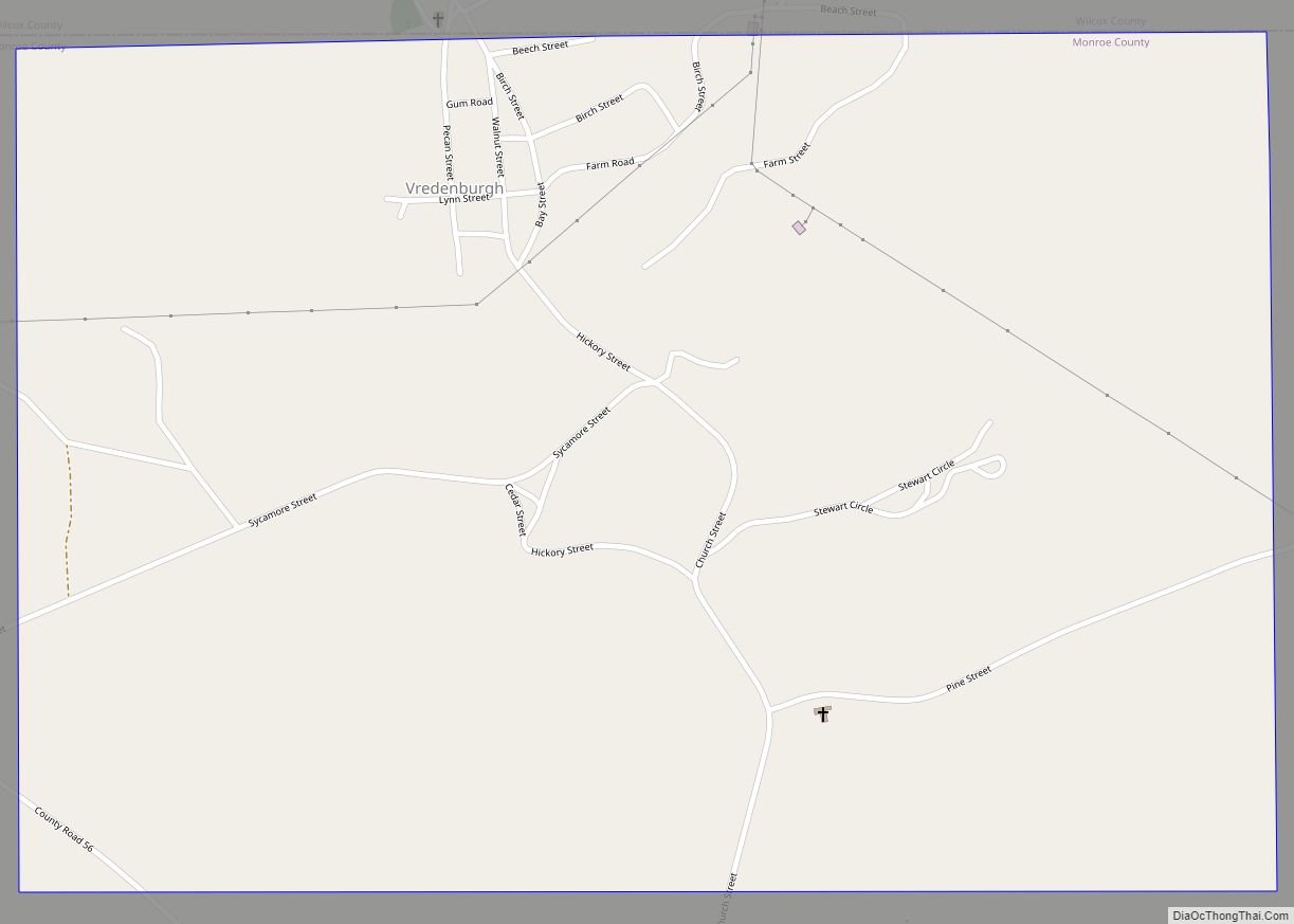
Online Interactive Map
Click on ![]() to view map in "full screen" mode.
to view map in "full screen" mode.
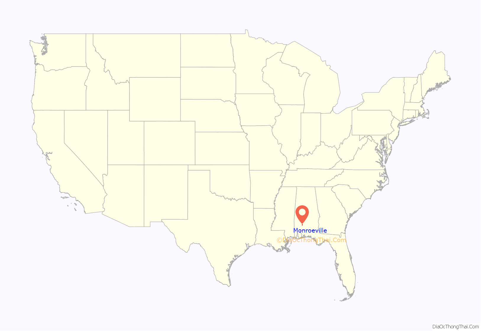
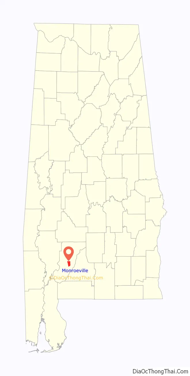
Monroeville location map. Where is Monroeville city?
History
Occupied for thousands of years by indigenous peoples, this area was ceded by the historic tribe to the U.S. government in the 1830s and the era of Indian Removal.
The town was first known as Walker’s Mill and Store, named for Major Walker, the area’s first European-American settler. In 1832, the legislature relocated the county seat to Monroeville from Claiborne on the Alabama River. The settlement was briefly renamed “Centerville” due to its location in the center of the county, and then was formally changed to Monroeville. The town was not formally incorporated until April 15, 1899.
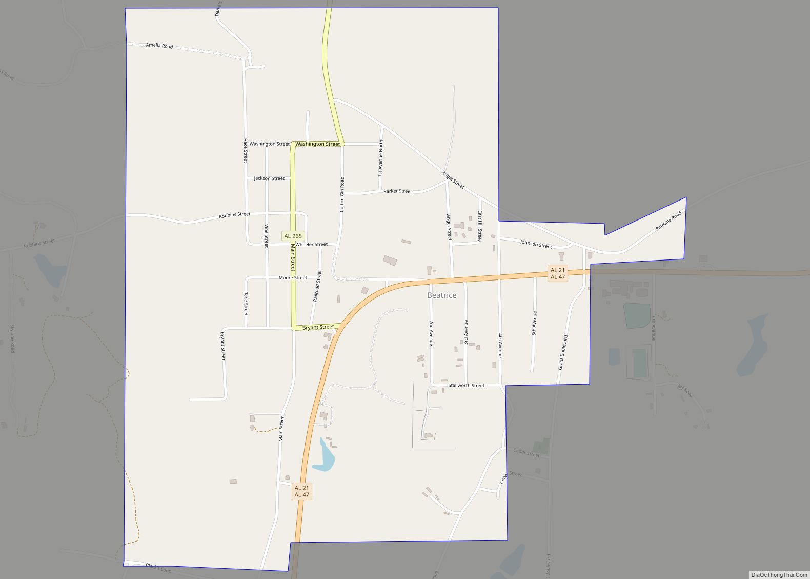
Monroeville Road Map
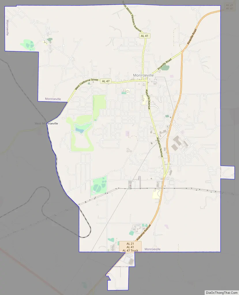
Monroeville city Satellite Map

Geography
Monroeville is located at 31°31′5″N 87°19′39″W / 31.51806°N 87.32750°W / 31.51806; -87.32750 (31.518075, -87.327543).
According to the U.S. Census Bureau, the city has a total area of 13.4 square miles (34.7 km), of which 13.4 square miles (34.6 km) is land and 0.0077 square miles (0.02 km), or 0.05%, is water.
Almost all of the urban area lies on Bama fine sandy loam. Less developed areas around town are mostly on Saffell gravelly sandy loam or Flomaton gravelly loamy sand.
See also
Map of Alabama State and its subdivision:- Autauga
- Baldwin
- Barbour
- Bibb
- Blount
- Bullock
- Butler
- Calhoun
- Chambers
- Cherokee
- Chilton
- Choctaw
- Clarke
- Clay
- Cleburne
- Coffee
- Colbert
- Conecuh
- Coosa
- Covington
- Crenshaw
- Cullman
- Dale
- Dallas
- De Kalb
- Elmore
- Escambia
- Etowah
- Fayette
- Franklin
- Geneva
- Greene
- Hale
- Henry
- Houston
- Jackson
- Jefferson
- Lamar
- Lauderdale
- Lawrence
- Lee
- Limestone
- Lowndes
- Macon
- Madison
- Marengo
- Marion
- Marshall
- Mobile
- Monroe
- Montgomery
- Morgan
- Perry
- Pickens
- Pike
- Randolph
- Russell
- Saint Clair
- Shelby
- Sumter
- Talladega
- Tallapoosa
- Tuscaloosa
- Walker
- Washington
- Wilcox
- Winston
- Alabama
- Alaska
- Arizona
- Arkansas
- California
- Colorado
- Connecticut
- Delaware
- District of Columbia
- Florida
- Georgia
- Hawaii
- Idaho
- Illinois
- Indiana
- Iowa
- Kansas
- Kentucky
- Louisiana
- Maine
- Maryland
- Massachusetts
- Michigan
- Minnesota
- Mississippi
- Missouri
- Montana
- Nebraska
- Nevada
- New Hampshire
- New Jersey
- New Mexico
- New York
- North Carolina
- North Dakota
- Ohio
- Oklahoma
- Oregon
- Pennsylvania
- Rhode Island
- South Carolina
- South Dakota
- Tennessee
- Texas
- Utah
- Vermont
- Virginia
- Washington
- West Virginia
- Wisconsin
- Wyoming