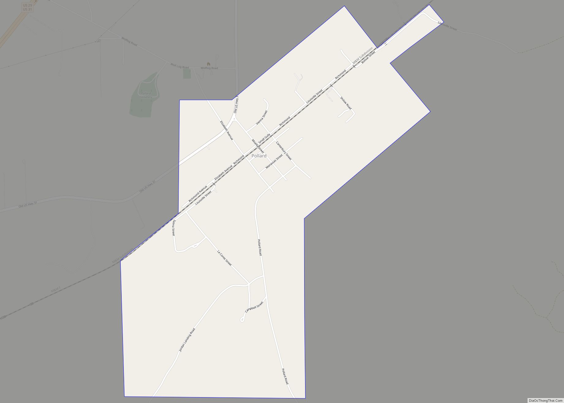
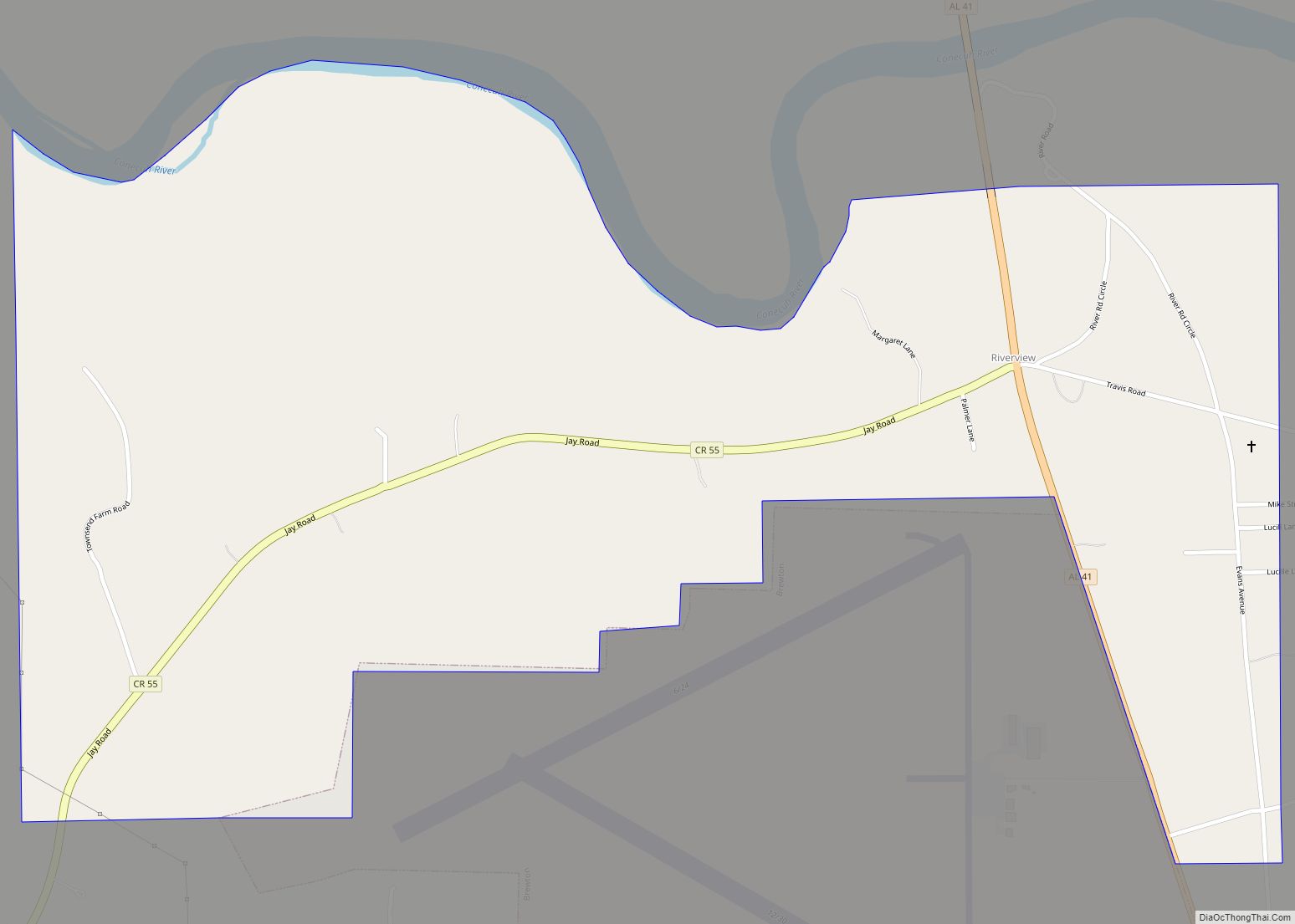
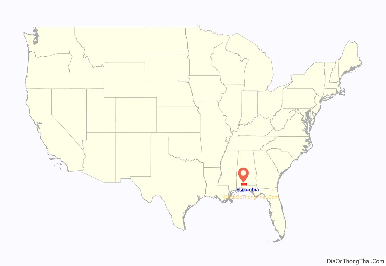
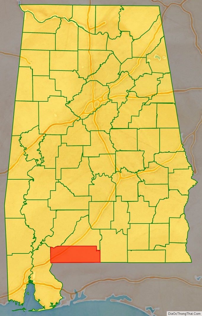
Escambia County is a county located in the south central portion of the U.S. state of Alabama. As of the 2020 census, the population was 36,757. Its county seat is Brewton.
Escambia County is coextensive with the Atmore, AL Micropolitan Statistical Area; which is itself a constituent part of the larger Pensacola-Ferry Pass, FL-AL Combined Statistical Area.
The county is the base of the state’s only federally recognized Native American tribe, the Poarch Band of Creek Indians. They have developed gaming casinos and a hotel on their reservation here, but also a much larger business extending to locations in other states and the Caribbean.
| Name: | Escambia County |
|---|---|
| FIPS code: | 01-053 |
| State: | Alabama |
| Founded: | December 10, 1868 |
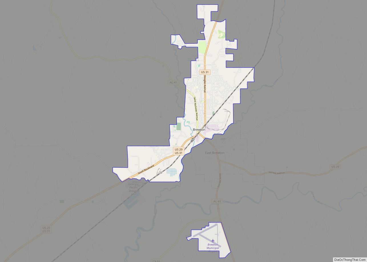
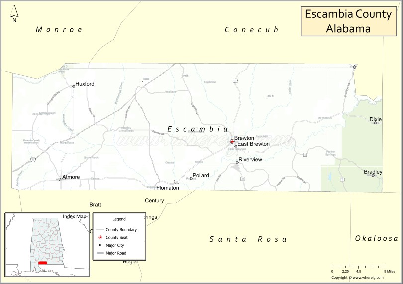
| Seat: | Brewton |
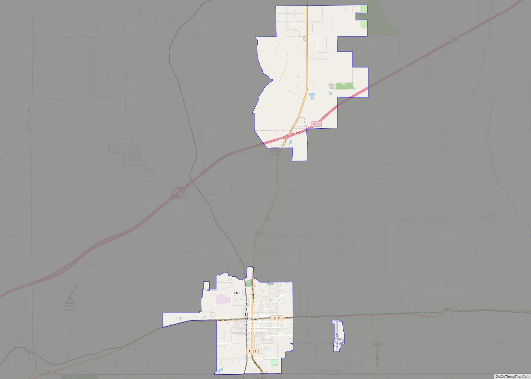
| Largest city: | Atmore |
| Total Area: | 953 sq mi (2,470 km²) |
| Land Area: | 945 sq mi (2,450 km²) |
| Total Population: | 36,757 |
| Population Density: | 39/sq mi (15/km²) |
| Time zone: | UTC−6 (Central) |
| Summer Time Zone (DST): | UTC−5 (CDT) |
| Website: | www.co.escambia.al.us |
Escambia County location map. Where is Escambia County?
History
Historic American Indian tribes in the area included the Muskogean-speaking Creek, Choctaw, and Alabama, who had inhabited the lands for centuries and had many settlements. The former two tribes were among those in the Southeast whom the European-American settlers called the Five Civilized Tribes, as they adopted some European-American cultural ways. Many of their members had close working relationships with traders and settlers moving into the area in the early 19th century. Most of these nations were forced to cede their lands to the United States and to remove in the 1830s to Indian Territory west of the Mississippi River.
Escambia County was organized and established after the American Civil War, on December 10, 1868, during the Reconstruction era. The state legislature created it from parts of Baldwin and Conecuh counties, to the west and north, respectively. The area was part of the coastal plain. It was largely agricultural into the 20th century.
The county is subject to heavy winds and rains due to seasonal hurricanes. In September 1979, the county was declared a disaster area due to damage from Hurricane Frederic. It was declared a disaster area again in September 2004 due to damage from Hurricane Ivan.
In the 20th century, the Poarch Band of Creek Indians organized to gain recognition as a tribe, and established a government under a written constitution. It had control of some lands that were taken into trust on their behalf by the federal government as part of the federal recognition process. It is the only federally recognized tribe in the state. Since the late 20th century, they have developed three gaming resorts to generate revenues for tribal health and welfare.
In addition, Alabama has recognized nine tribes, generally descendants of Choctaw, Creek, and Cherokee Native Americans who had historically lived here.
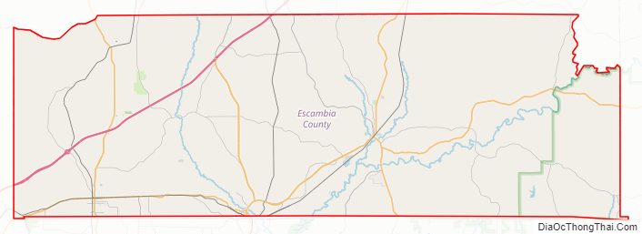
Escambia County Road Map
Geography
According to the United States Census Bureau, the county has a total area of 953 square miles (2,470 km), of which 945 square miles (2,450 km) is land and 8.1 square miles (21 km) (0.8%) is water.
Major highways
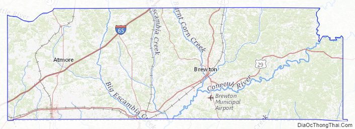
- Interstate 65
- U.S. Highway 29
- U.S. Highway 31
- State Route 21
- State Route 41
- State Route 113
Adjacent counties
- Conecuh County (north)
- Covington County (east)
- Okaloosa County, Florida (southeast)
- Santa Rosa County, Florida (south)
- Escambia County, Florida (southwest)
- Baldwin County (west)
- Monroe County (northwest)
Escambia County in Alabama and Escambia County in Florida are two of 22 counties or parishes in the United States with the same name to border each other across state lines.
National protected area
- Conecuh National Forest (part)
Escambia County Topographic Map
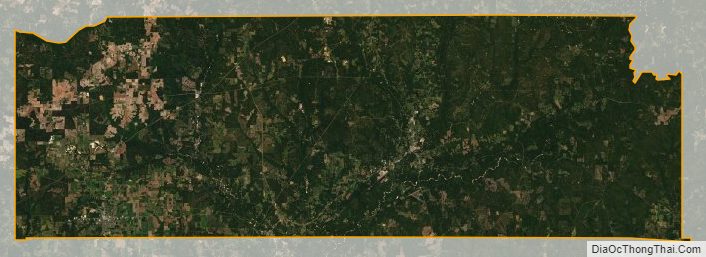
Escambia County Satellite Map
Escambia County Outline Map