Tompkinsville is a home rule-class city in and the county seat of Monroe County, Kentucky, United States. The population was 2,309 at the 2020 census. The city was named after Vice President Daniel D. Tompkins who served under President James Monroe, for whom the county was named.
| Name: | Tompkinsville city |
|---|---|
| LSAD Code: | 25 |
| LSAD Description: | city (suffix) |
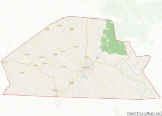
| State: | Kentucky |
| County: | Monroe County |
| Elevation: | 919 ft (280 m) |
| Total Area: | 3.45 sq mi (8.94 km²) |
| Land Area: | 3.28 sq mi (8.51 km²) |
| Water Area: | 0.17 sq mi (0.44 km²) |
| Total Population: | 2,309 |
| Population Density: | 703.11/sq mi (271.44/km²) |
| ZIP code: | 42167 |
| Area code: | 270 & 364 |
| FIPS code: | 2177160 |
| GNISfeature ID: | 0505341 |
| Website: | tompkinsvilleky.gov |
Online Interactive Map
Click on ![]() to view map in "full screen" mode.
to view map in "full screen" mode.
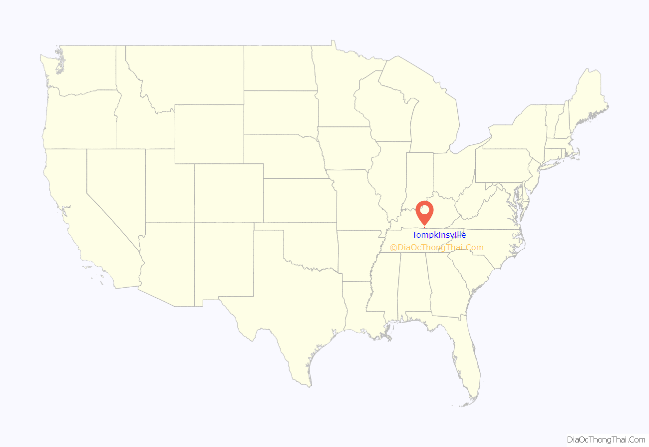
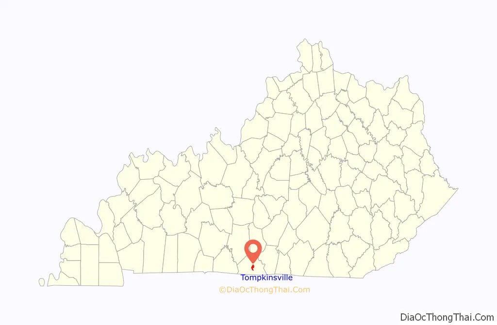
Tompkinsville location map. Where is Tompkinsville city?
History
In 1804, the Old Mulkey Meetinghouse was built. It is today part of the Old Mulkey Meetinghouse State Historic Site. At this site, a graveyard is home to deceased veterans of both the American Revolutionary War and the American Civil War. Daniel Boone’s sister, Hannah, is also buried there.
During the Civil War, Tompkinsville was the site of Confederate General John Hunt Morgan’s first Kentucky raid. On July 9, 1862, Morgan’s Raiders, coming from Tennessee, attacked Major Thomas J. Jordan’s 9th Pennsylvania Cavalry. Raiders captured 30 retreating Union soldiers and destroyed tents and stores. They took 20 wagons, 50 mules, 40 horses, sugar and coffee supplies. At Glasgow, Kentucky, they burned supplies, then went north, raiding 16 other towns before returning to Tennessee.
Tompkinsville is home to the famous Dovie’s restaurant which has been known for its signature deep-fried hamburgers since 1938.
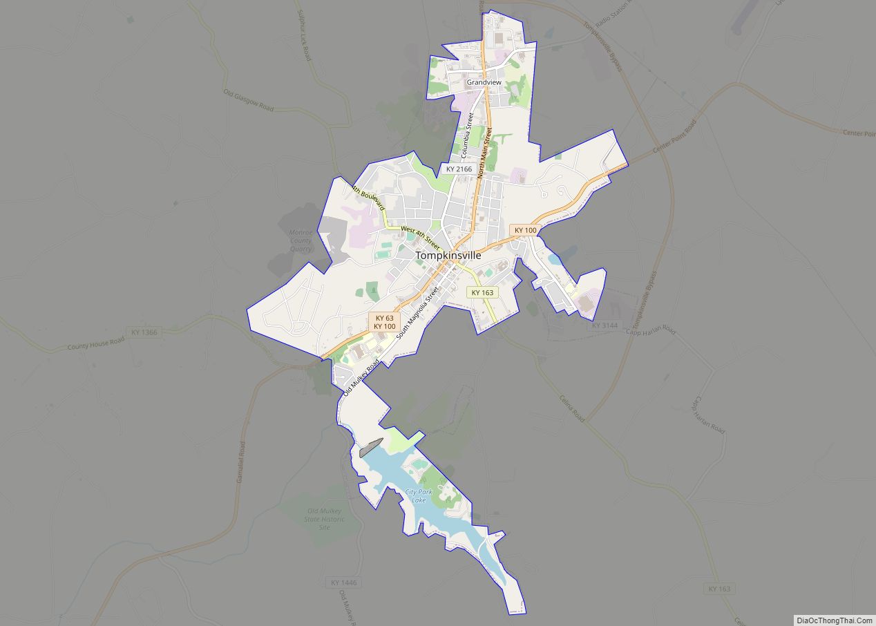
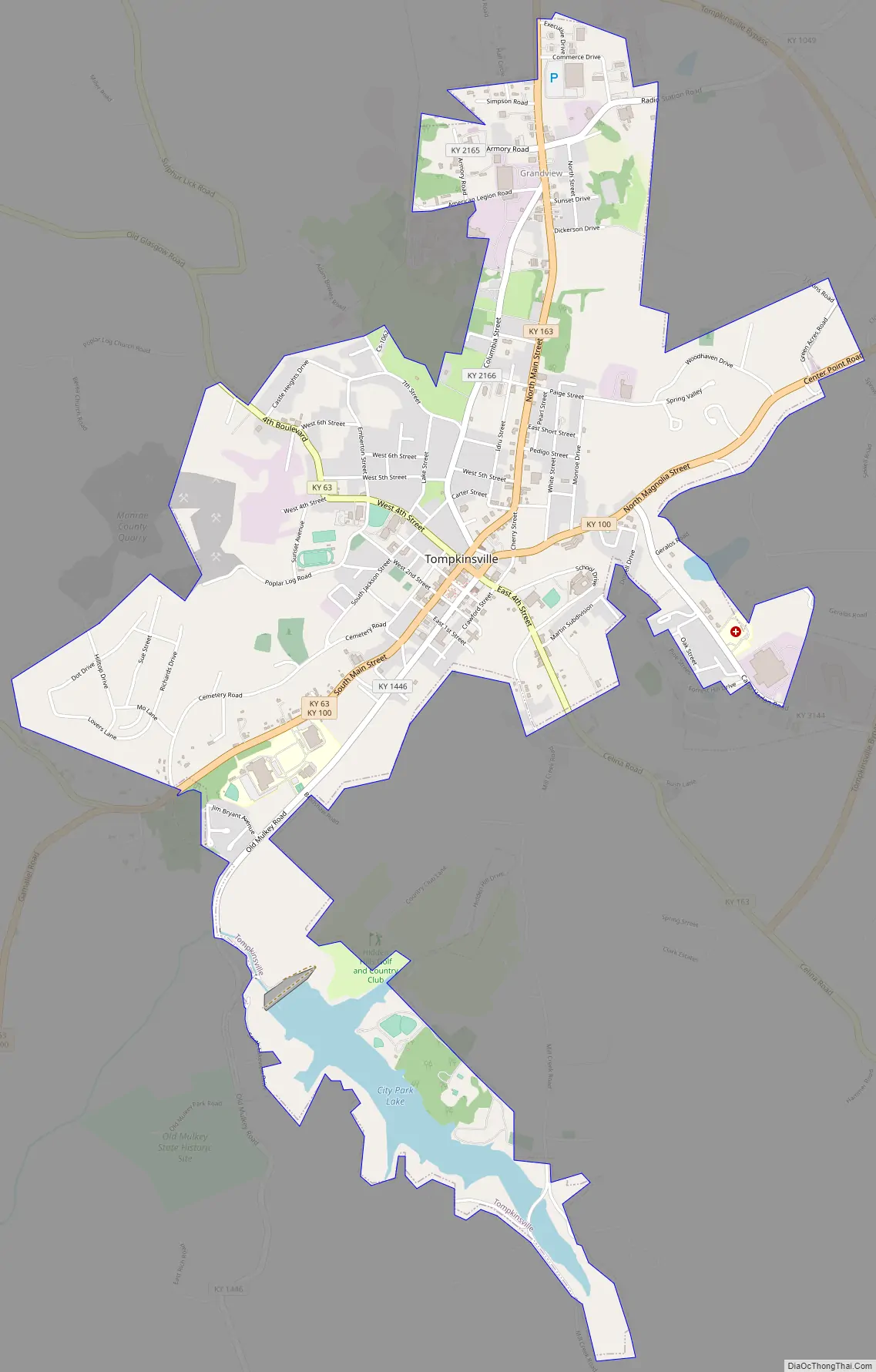
Tompkinsville Road Map
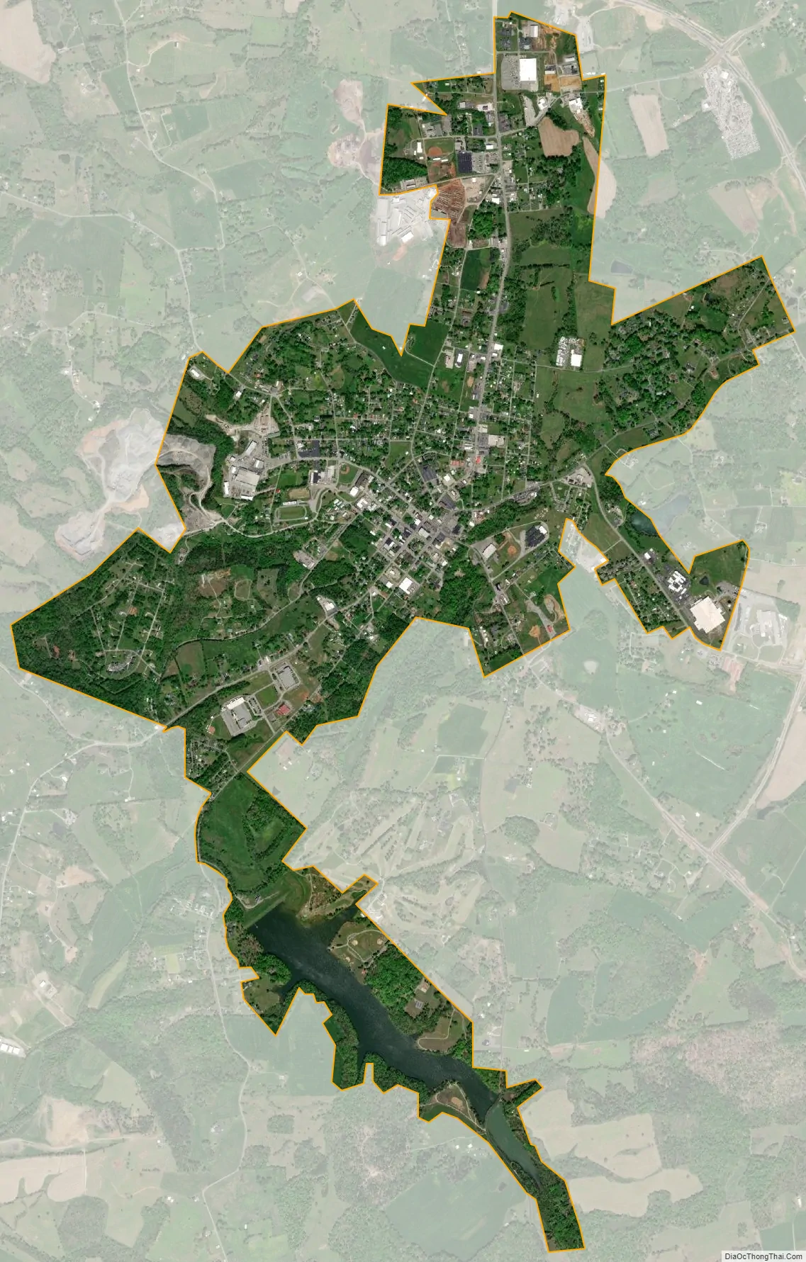
Tompkinsville city Satellite Map
Geography
Tompkinsville is located just east of the center of Monroe County at 36°41′58″N 85°41′31″W / 36.69944°N 85.69194°W / 36.69944; -85.69194 (36.699508, -85.692005). Kentucky Routes 63 and 100 pass through the city together as South Main Street, with KY 63 turning onto West 4th Street and KY 100 turning onto North Magnolia Street. KY 63 leads northwest 26 miles (42 km) to Glasgow, while KY 100 leads northeast 22 miles (35 km) to its terminus at Waterview. Together the two highways lead southwest 8 miles (13 km) to Gamaliel. Kentucky Route 163 leaves Tompkinsville to the north on North Main Street, leading 21 miles (34 km) to Edmonton.
According to the United States Census Bureau, Tompkinsville has a total area of 3.45 square miles (8.94 km), of which 3.28 square miles (8.50 km) are land and 0.17 square miles (0.44 km) of it, or 4.87%, are water. Town Creek passes through the city, passing just east of its center and flowing southwest to Mill Creek at the city’s southern border. Mill Creek is a west-flowing tributary of the East Fork of the Barren River, part of the Green River watershed.
See also
Map of Kentucky State and its subdivision:- Adair
- Allen
- Anderson
- Ballard
- Barren
- Bath
- Bell
- Boone
- Bourbon
- Boyd
- Boyle
- Bracken
- Breathitt
- Breckinridge
- Bullitt
- Butler
- Caldwell
- Calloway
- Campbell
- Carlisle
- Carroll
- Carter
- Casey
- Christian
- Clark
- Clay
- Clinton
- Crittenden
- Cumberland
- Daviess
- Edmonson
- Elliott
- Estill
- Fayette
- Fleming
- Floyd
- Franklin
- Fulton
- Gallatin
- Garrard
- Grant
- Graves
- Grayson
- Green
- Greenup
- Hancock
- Hardin
- Harlan
- Harrison
- Hart
- Henderson
- Henry
- Hickman
- Hopkins
- Jackson
- Jefferson
- Jessamine
- Johnson
- Kenton
- Knott
- Knox
- Larue
- Laurel
- Lawrence
- Lee
- Leslie
- Letcher
- Lewis
- Lincoln
- Livingston
- Logan
- Lyon
- Madison
- Magoffin
- Marion
- Marshall
- Martin
- Mason
- McCracken
- McCreary
- McLean
- Meade
- Menifee
- Mercer
- Metcalfe
- Monroe
- Montgomery
- Morgan
- Muhlenberg
- Nelson
- Nicholas
- Ohio
- Oldham
- Owen
- Owsley
- Pendleton
- Perry
- Pike
- Powell
- Pulaski
- Robertson
- Rockcastle
- Rowan
- Russell
- Scott
- Shelby
- Simpson
- Spencer
- Taylor
- Todd
- Trigg
- Trimble
- Union
- Warren
- Washington
- Wayne
- Webster
- Whitley
- Wolfe
- Woodford
- Alabama
- Alaska
- Arizona
- Arkansas
- California
- Colorado
- Connecticut
- Delaware
- District of Columbia
- Florida
- Georgia
- Hawaii
- Idaho
- Illinois
- Indiana
- Iowa
- Kansas
- Kentucky
- Louisiana
- Maine
- Maryland
- Massachusetts
- Michigan
- Minnesota
- Mississippi
- Missouri
- Montana
- Nebraska
- Nevada
- New Hampshire
- New Jersey
- New Mexico
- New York
- North Carolina
- North Dakota
- Ohio
- Oklahoma
- Oregon
- Pennsylvania
- Rhode Island
- South Carolina
- South Dakota
- Tennessee
- Texas
- Utah
- Vermont
- Virginia
- Washington
- West Virginia
- Wisconsin
- Wyoming