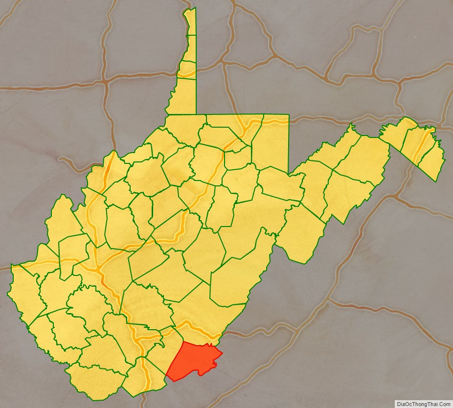
Monroe County is a county in the U.S. state of West Virginia. As of the 2020 census, the population was 12,376. Its county seat is Union.
Monroe County was the home of Andrew Summers Rowan of Spanish–American War fame, who is immortalized in Elbert Hubbard’s classic A Message to Garcia. The county was also the site of the 1928 discovery of the 34.48 carat (6.896 g) Jones Diamond by Grover C. Jones and William “Punch” Jones.
Monroe County celebrates its own holiday, Farmers’ Day.
| Name: | Monroe County |
|---|---|
| FIPS code: | 54-063 |
| State: | West Virginia |
| Founded: | January 14, 1799 |
| Named for: | James Monroe |
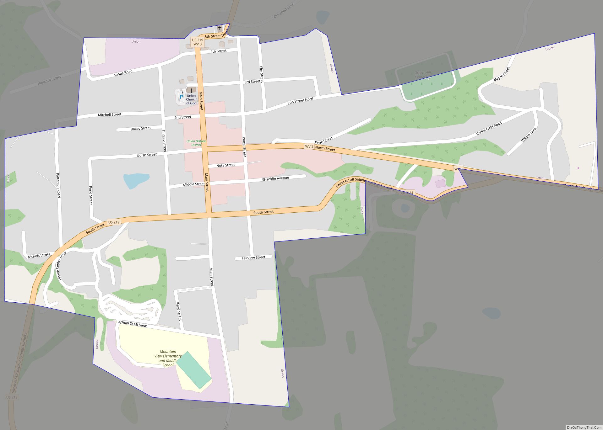
| Seat: | Union |
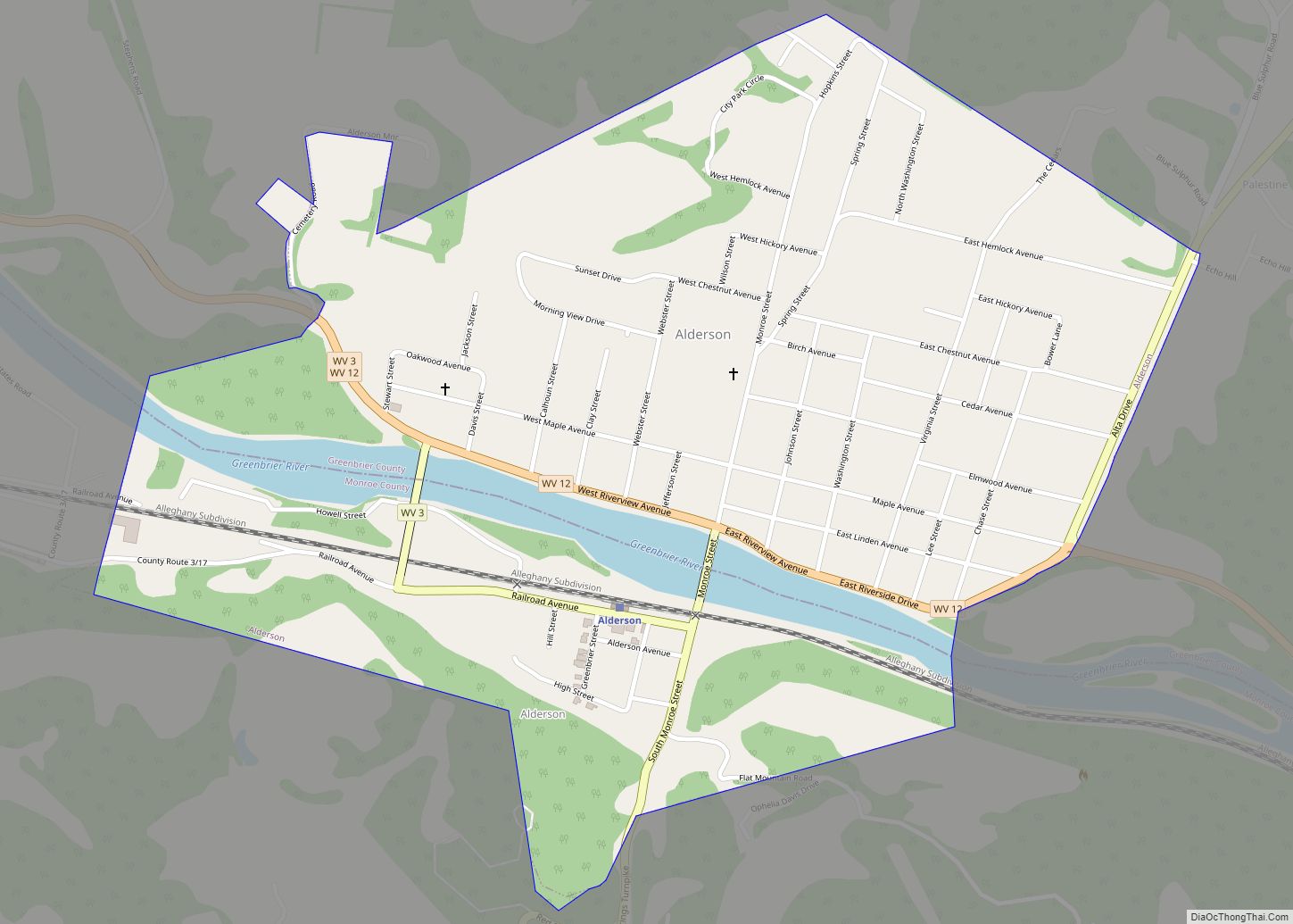
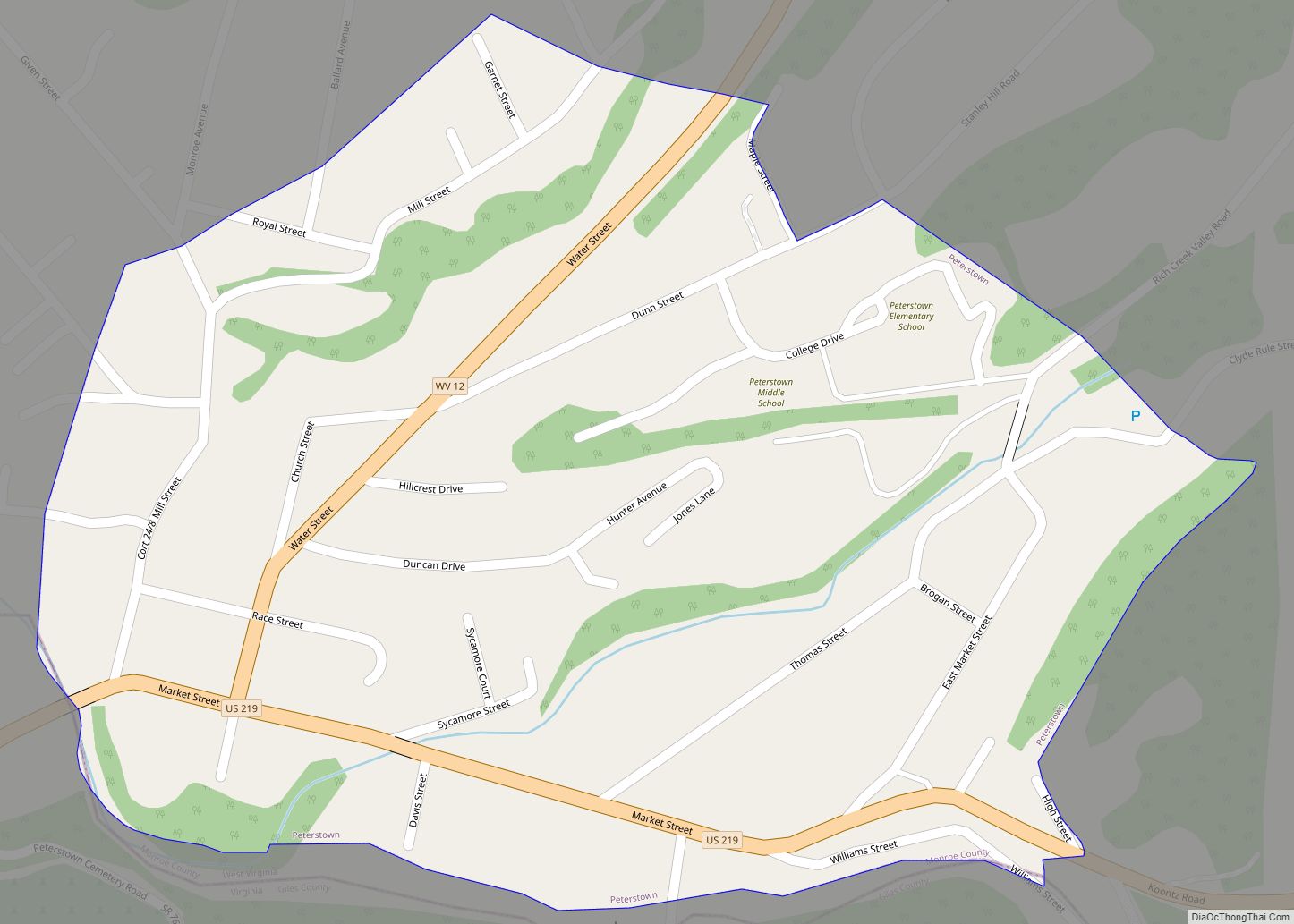
| Largest town: | Peterstown |
| Total Area: | 474 sq mi (1,230 km²) |
| Land Area: | 473 sq mi (1,230 km²) |
| Total Population: | 12,376 |
| Population Density: | 26.11/sq mi (10.08/km²) |
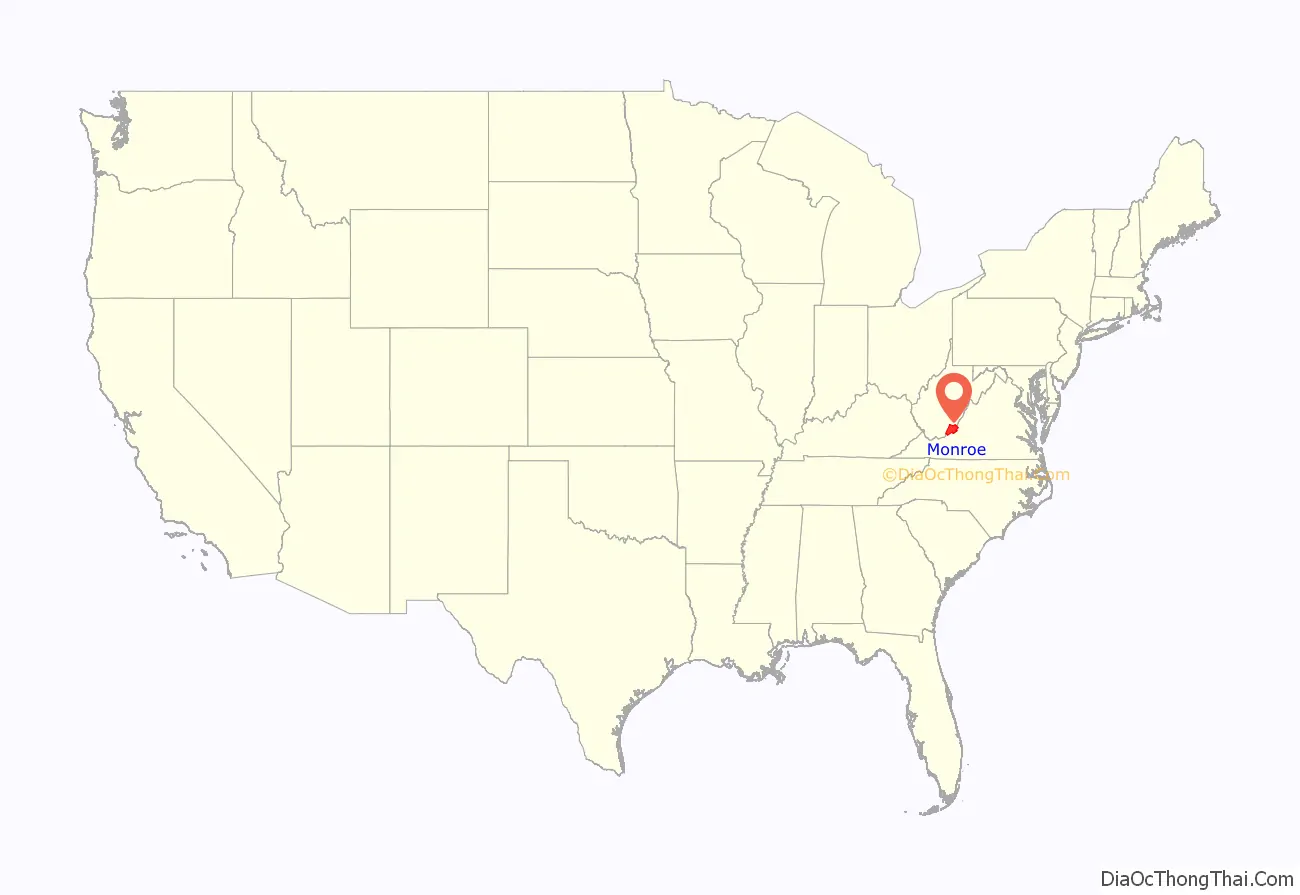
Monroe County location map. Where is Monroe County?
History
Monroe County was created from Greenbrier County on January 14, 1799, and was named for Virginia civic figure James Monroe, who would be elected fifth President of the United States in November 1816. It was one of fifty Virginia counties that were admitted to the Union as the state of West Virginia on June 20, 1863, at the height of the Civil War. Monroe County did not participate in the creation of the new state, but was included by Congressional decree. Almost all the men from Monroe who served in the Civil War enlisted in the Confederate army.
In 1863, West Virginia’s counties were divided into civil townships, with the intention of encouraging local government. This proved impractical in the heavily rural state, and in 1872 the townships were converted into magisterial districts. Monroe County was initially divided into seven townships: Forest Hill, Red Sulphur, Second Creek, Springfield, Sweet Springs, Union, and Wolf Creek. In 1871, part of Forest Hill Township was added to the new county of Summers, and the remaining territory distributed between Red Sulphur and Springfield Townships. The following year, the six remaining townships became magisterial districts. Except for minor adjustments, the six historic magisterial districts were unchanged until the 1990s, when they were consolidated into three new districts: Central, Eastern, and Western.
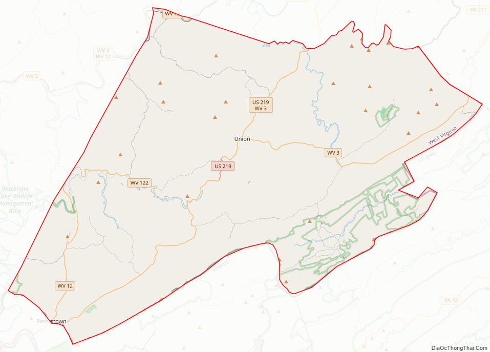
Monroe County Road Map
Geography
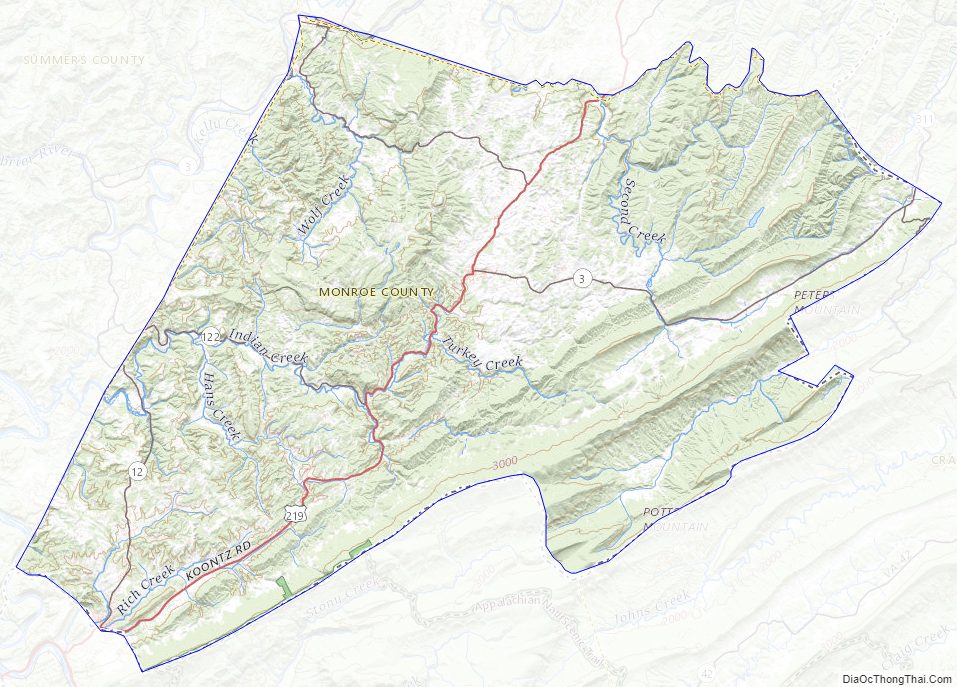
Monroe County lies on the southeast side of West Virginia. Its southeast border abuts the northwest border of the state of Virginia. The New River flows northward for a short distance along the county’s southwest border. The county’s terrain is mountainous and tree-covered, with all sufficiently level surfaces devoted to agriculture. The terrain slopes to the north and west, with its highest part the middle part of its border with Virginia, at 3,862′ (1177m) ASL. The county has a total area of 474 square miles (1,230 km), of which 473 square miles (1,230 km) is land and 0.9 square miles (2.3 km) (0.2%) is water.
Major highways
- U.S. Highway 219
- West Virginia Route 3
- West Virginia Route 12
- West Virginia Route 122
- West Virginia Route 311
Adjacent counties
- Greenbrier County (north)
- Alleghany County, Virginia (northeast)
- Craig County, Virginia (east)
- Giles County, Virginia (south)
- Summers County (west)
Watersheds
Tributaries of the James River, part of the Chesapeake Bay
- Potts Creek
Tributaries of the New River
- Greenbrier River
- Indian Creek
Tributaries of the Greenbrier River
- Second Creek
- Sinks Grove
National Natural Landmark
- Greenville Saltpeter Cave
National protected areas
- George Washington National Forest
- Jefferson National Forest In 2018 a natural gas pipeline project entered the Jefferson National Forest.
Monroe County Topographic Map
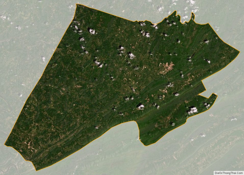
Monroe County Satellite Map
Monroe County Outline Map