Craig County is a county located in the Commonwealth of Virginia. As of the 2020 census, the population was 4,892. Its county seat is New Castle.
Craig County is part of the Roanoke, VA Metropolitan Statistical Area.
| Name: | Craig County |
|---|---|
| FIPS code: | 51-045 |
| State: | Virginia |
| Founded: | 1851 |
| Named for: | Robert Craig |
| Seat: | New Castle |
| Largest town: | New Castle |
| Total Area: | 331 sq mi (860 km²) |
| Land Area: | 330 sq mi (900 km²) |
| Total Population: | 4,892 |
| Population Density: | 15/sq mi (5.7/km²) |
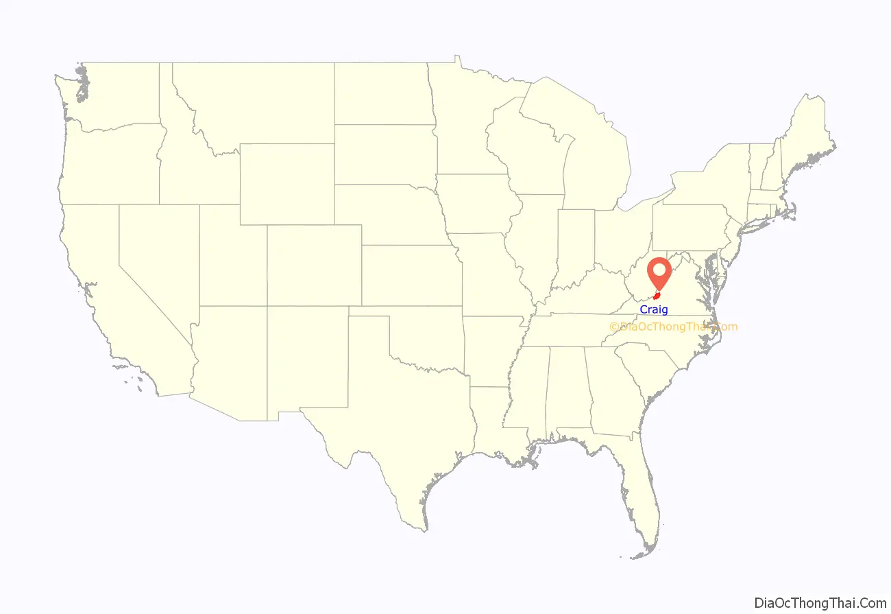
Craig County location map. Where is Craig County?
History
Nestled in the mountains of Southwest Virginia, Craig County was named for Robert Craig, a 19th-century Virginia congressman. The initial outpost in the area was called “Craig’s Camp,” and it is claimed that George Washington visited it in 1756 during his travels to the frontier. Formed from parts of Botetourt, Roanoke, Giles, and Monroe (in present-day West Virginia) counties in 1851, Craig was later enlarged with several subsequent additions from neighboring counties.
The secluded, mountainous New Castle community, the county seat, has one of the commonwealth’s antebellum court complexes, including a porticoed courthouse built in 1851. Craig Healing Springs, a collection of well-preserved early-20th-century resort buildings representative of the architecture of Virginia’s more modest mountain spas, is located here.
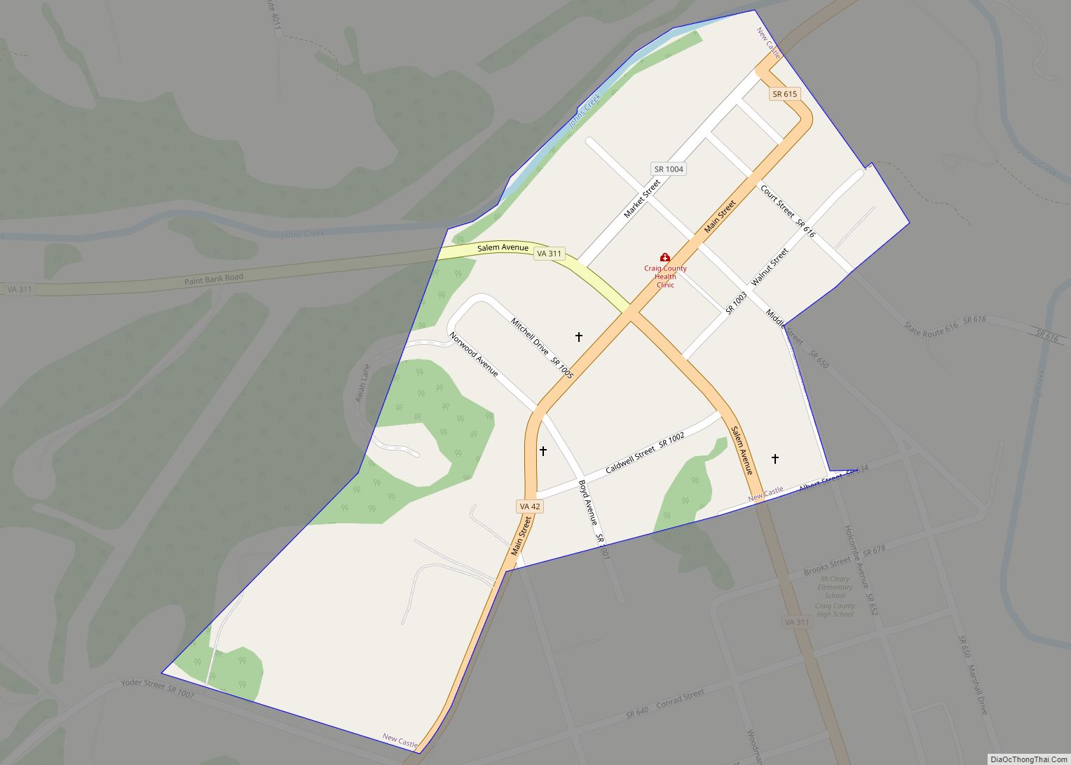
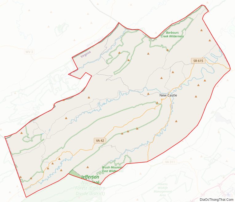
Craig County Road Map
Geography
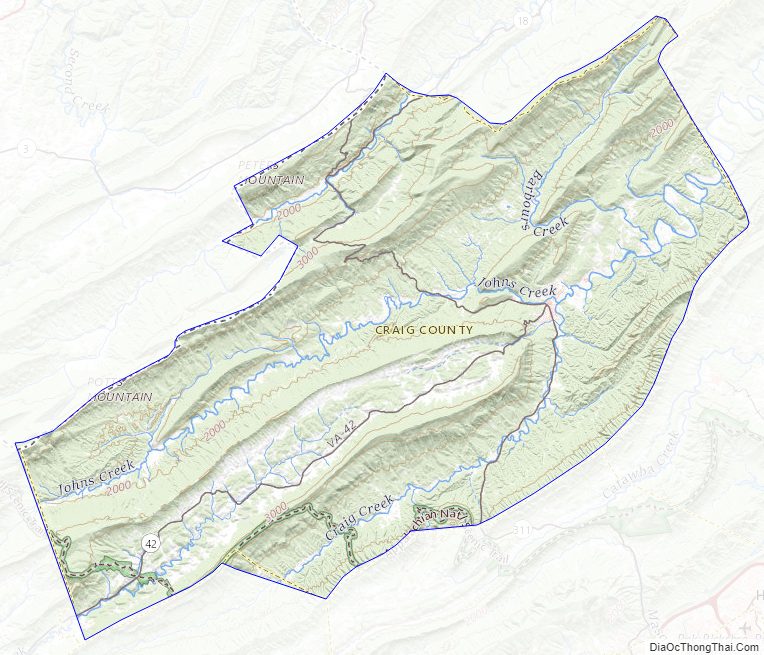
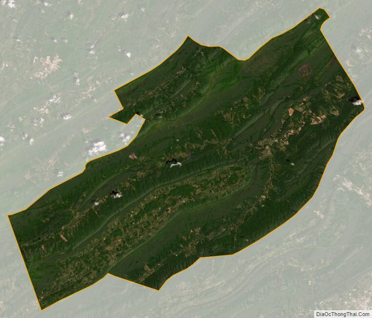
According to the U.S. Census Bureau, the county has a total area of 330.6 square miles (856.3 km), of which 329.5 square miles (853.4 km) is land and 1.1 square miles (2.8 km) (0.3%) is water. Most of the county is national forest.
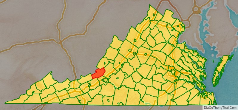
Adjacent counties
- Alleghany County – north
- Botetourt County – east
- Roanoke County – southeast
- Montgomery County – south
- Giles County – southwest
- Monroe County, West Virginia – west
National protected area
- Jefferson National Forest (part)
Major highways
- SR 18
- SR 42
- SR 311
Craig County Topographic Map
Craig County Satellite Map
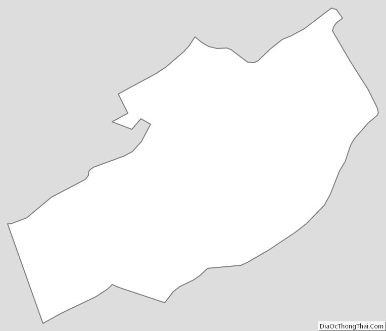
Craig County Outline Map