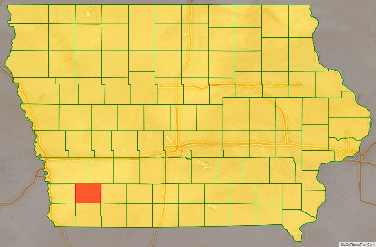
Montgomery County is a county located in the southwestern area of the U.S. state of Iowa. As of the 2020 census, the population was 10,330. Its population has declined since a peak in 1900, since urbanization and decline of family farms. The county seat is Red Oak. The county was founded by European-American migrants from eastern areas in 1851. It was named in honor of Richard Montgomery, an American Revolutionary War general killed in 1775 while trying to capture Quebec City, Canada.
The county has been largely rural and devoted to agriculture. The county was first surveyed in 1852. It is famous as the location of the unsolved Villisca Axe Murders committed in 1912. Clyde Cessna, the founder of the Cessna Aircraft Company was born here.
| Name: | Montgomery County |
|---|---|
| FIPS code: | 19-137 |
| State: | Iowa |
| Founded: | 1851 |
| Named for: | Richard Montgomery |
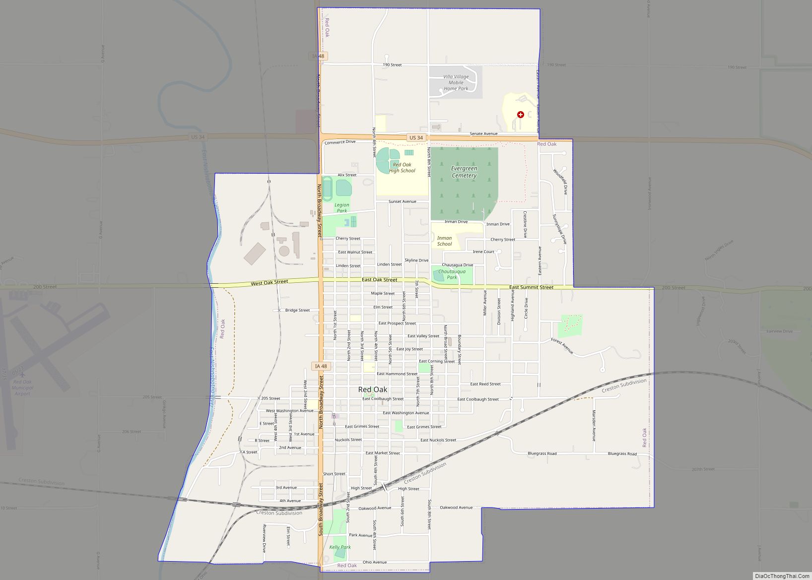
| Seat: | Red Oak |
| Largest city: | Red Oak |
| Total Area: | 425 sq mi (1,100 km²) |
| Land Area: | 424 sq mi (1,100 km²) |
| Total Population: | 10,330 |
| Population Density: | 24/sq mi (9.4/km²) |
| Time zone: | UTC−6 (Central) |
| Summer Time Zone (DST): | UTC−5 (CDT) |
| Website: | montgomerycountyia.gov |
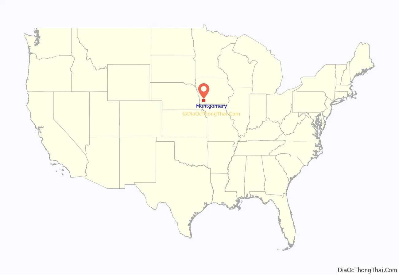
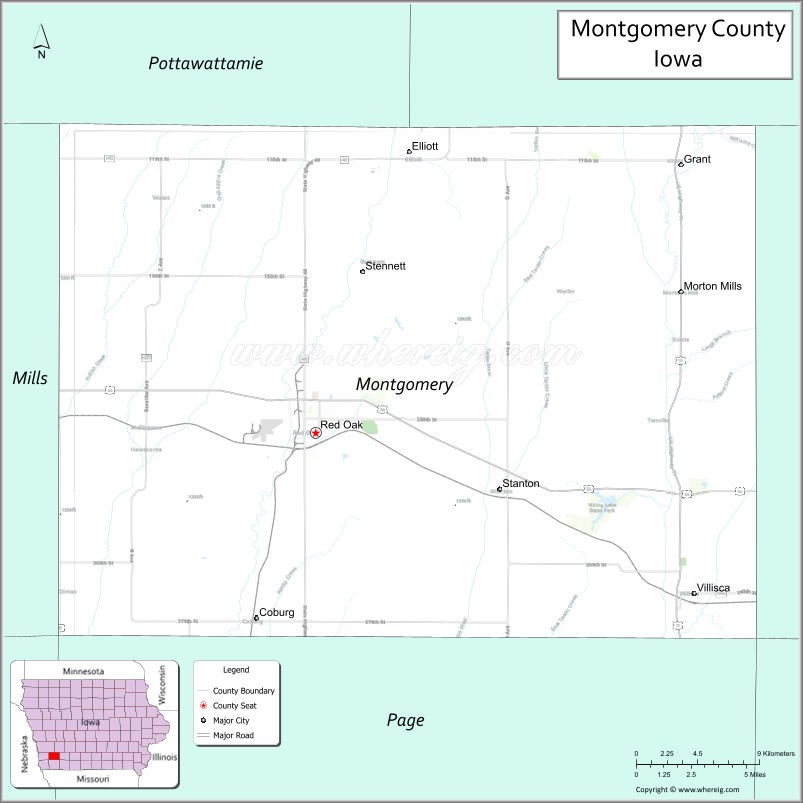
Montgomery County location map. Where is Montgomery County?
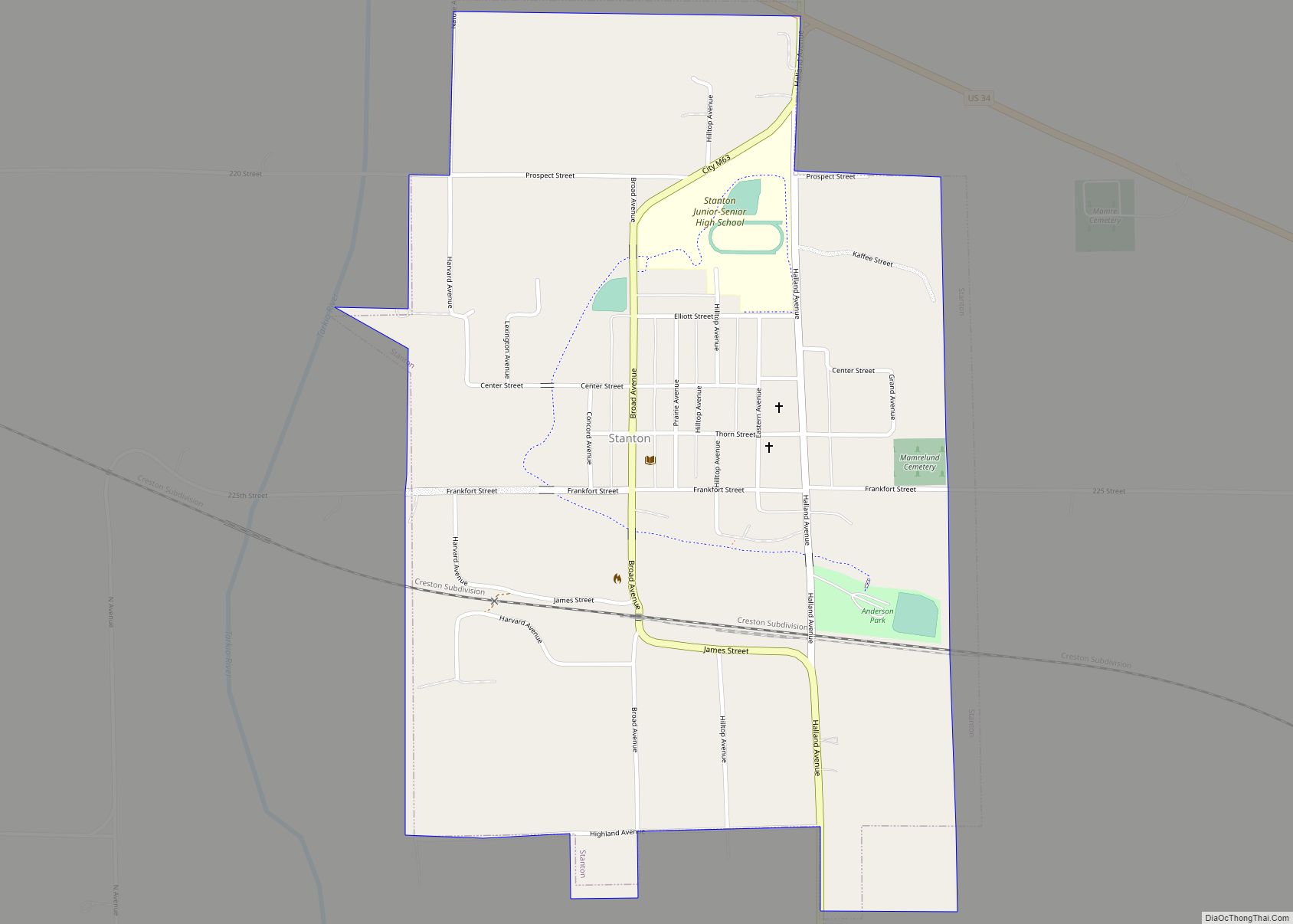
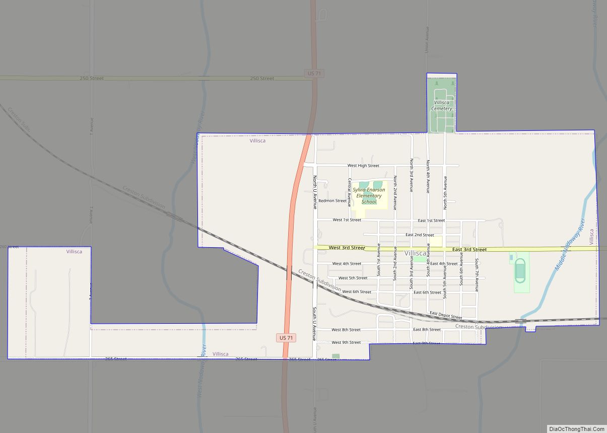
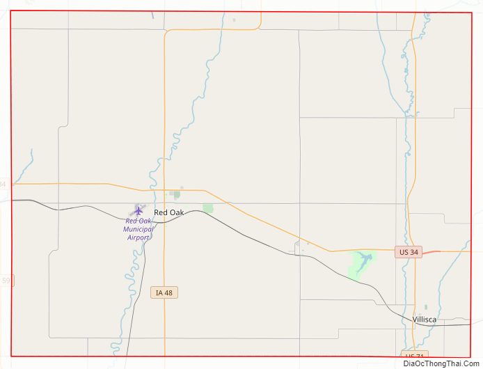
Montgomery County Road Map
Geography
According to the U.S. Census Bureau, the county has a total area of 425 square miles (1,100 km), of which 424 square miles (1,100 km) is land and 0.9 square miles (2.3 km) (0.2%) is water.
Major highways
- U.S. Highway 34
- U.S. Highway 71
- Iowa Highway 48
Adjacent counties
- Pottawattamie County (northwest)
- Cass County (northeast)
- Adams County (east)
- Page County (south)
- Mills County (west)
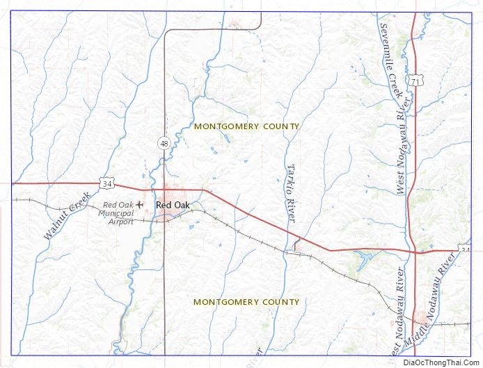
Montgomery County Topographic Map
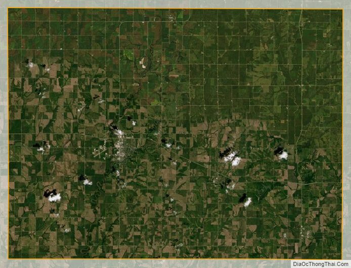
Montgomery County Satellite Map
Montgomery County Outline Map