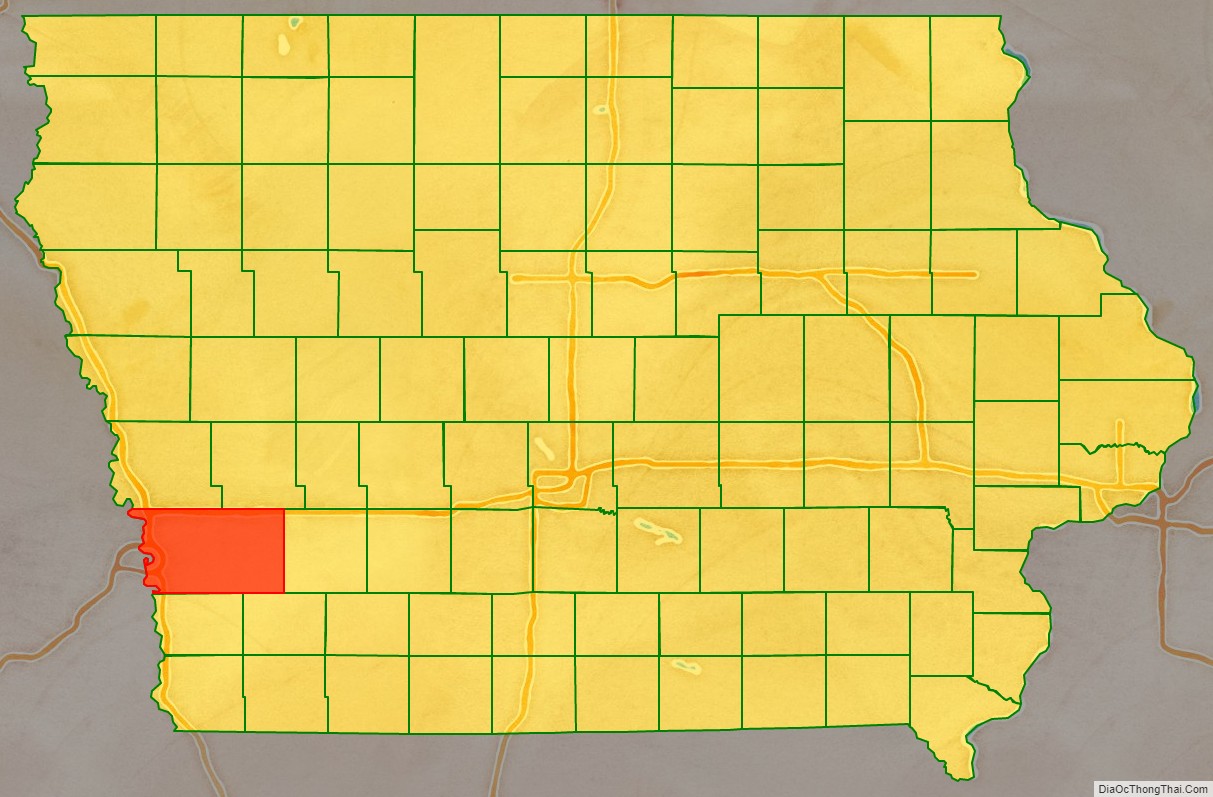
Pottawattamie County (/ˌpɑːtəˈwɑːtəmiː/) is a county located in the U.S. state of Iowa. At the 2020 census, the population was 93,667, making it the tenth-most populous county in Iowa. The county takes its name from the Potawatomi Native American tribe. The county seat is Council Bluffs.
Pottawattamie County is included in the Omaha–Council Bluffs, NE–IA Metropolitan Statistical Area.
| Name: | Pottawattamie County |
|---|---|
| FIPS code: | 19-155 |
| State: | Iowa |
| Founded: | September 21, 1848 |
| Named for: | Potawatomi tribe |
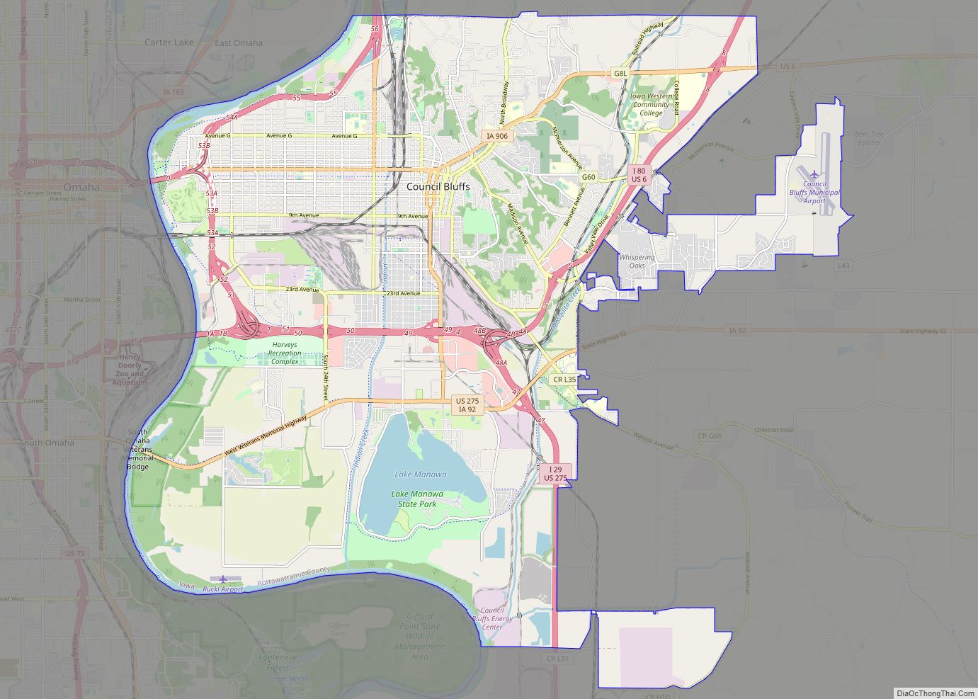
| Seat: | Council Bluffs |
| Largest city: | Council Bluffs |
| Total Area: | 959 sq mi (2,480 km²) |
| Land Area: | 950 sq mi (2,500 km²) |
| Total Population: | 93,667 |
| Population Density: | 98/sq mi (38/km²) |
| Time zone: | UTC−6 (Central) |
| Summer Time Zone (DST): | UTC−5 (CDT) |
| Website: | www.pottcounty-ia.gov |
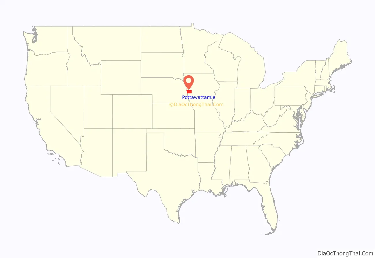
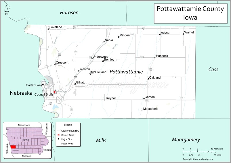
Pottawattamie County location map. Where is Pottawattamie County?
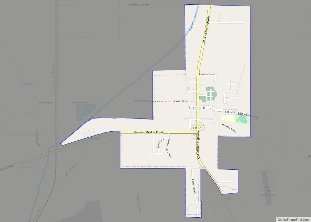
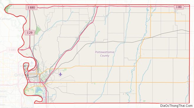
Pottawattamie County Road Map
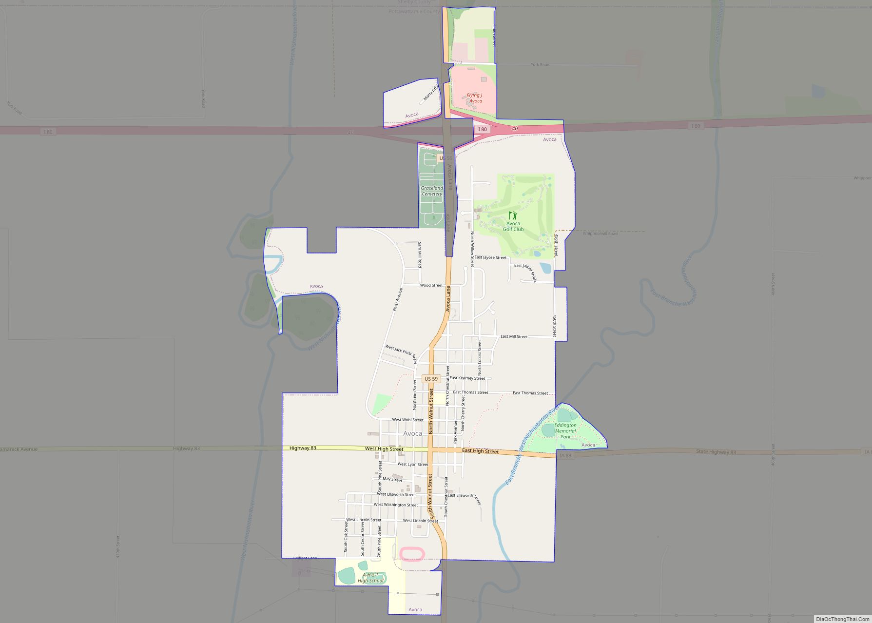
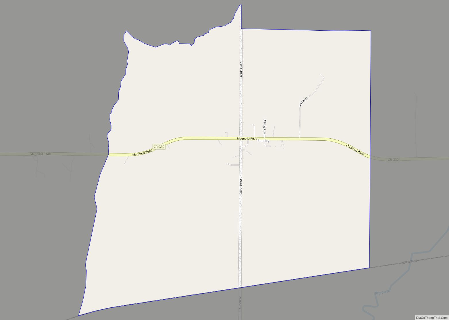
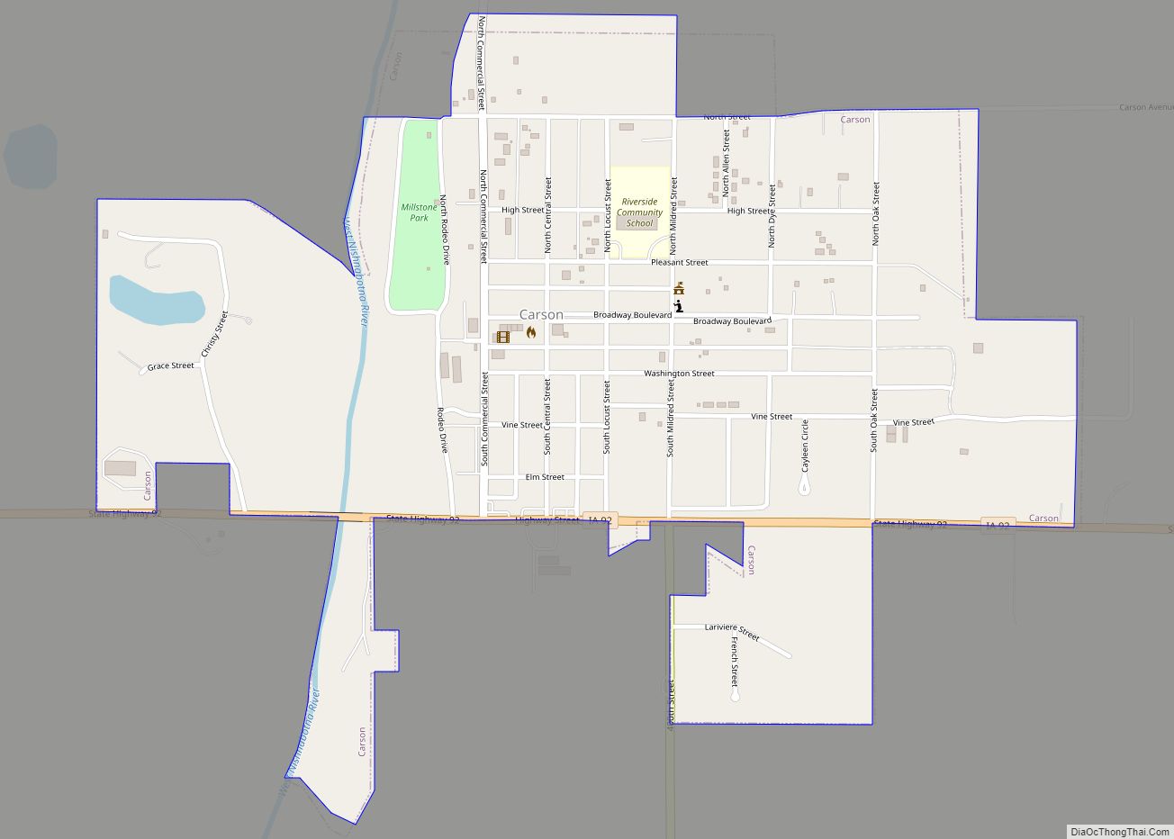
Geography
According to the U.S. Census Bureau, the county has a total area of 959 square miles (2,480 km), of which 950 square miles (2,500 km) is land and 8.9 square miles (23 km) (0.9%) is water. It is the second-largest county in Iowa by area after Kossuth County. Pottawattamie County is located within Iowa’s Loess Hills, and was the site of Kanesville along The Mormon Trail
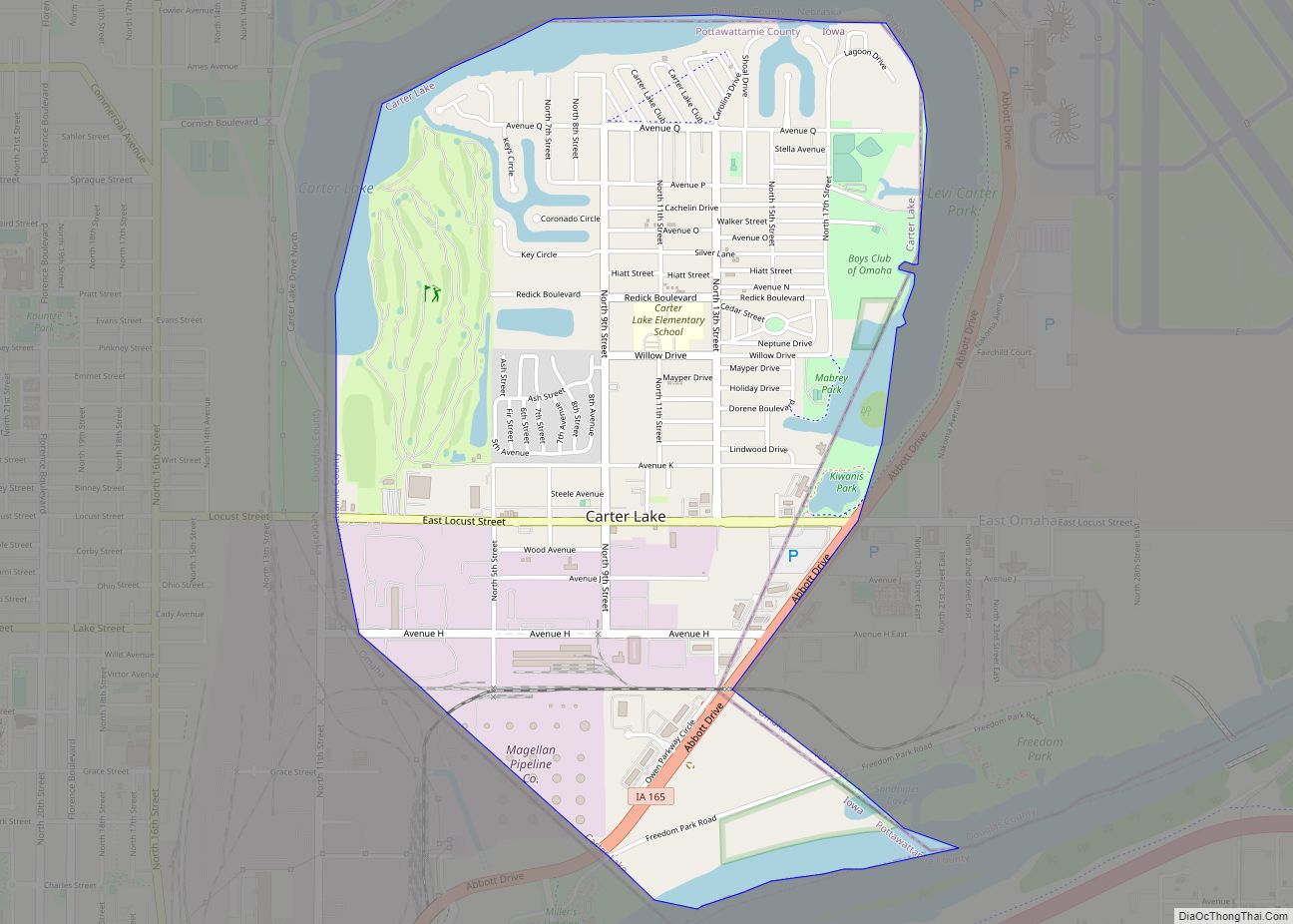
Due to movement of the Missouri River and a Supreme Court ruling, part of the county, Carter Lake, actually lies on the far side of the Missouri River. This part of the county cannot be reached by road without entering Nebraska; no direct bridge exists.
Major highways
- Interstate 29
- Interstate 80
- Interstate 480
- Interstate 680
- Interstate 880
- U.S. Highway 6
- U.S. Highway 59
- U.S. Highway 275
- Iowa Highway 83
- Iowa Highway 92
- Iowa Highway 165
- Iowa Highway 191
- Iowa Highway 192
Adjacent counties
- Harrison County (north)
- Shelby County (northeast)
- Cass County (east)
- Montgomery County (southeast)
- Mills County (south)
- Sarpy County, Nebraska (southwest)
- Douglas County, Nebraska (west)
- Washington County, Nebraska (northwest)
National protected area
- DeSoto National Wildlife Refuge (part)
Pottawattamie County Topographic Map
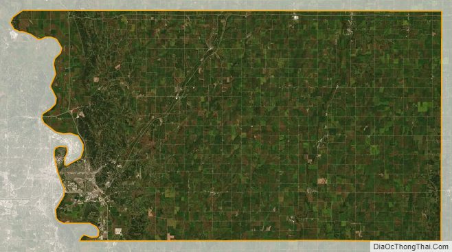
Pottawattamie County Satellite Map
Pottawattamie County Outline Map