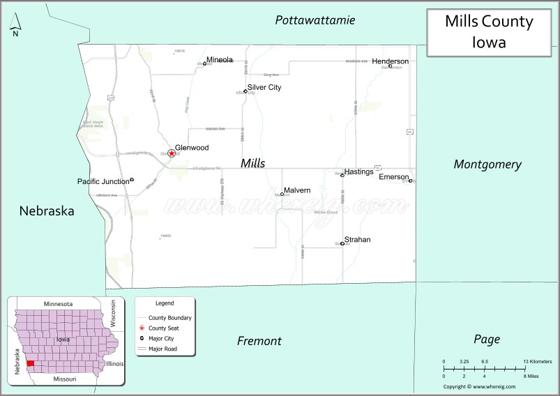
Mills County is a county located in the U.S. state of Iowa. As of the 2020 census, the population was 14,484. The county seat is Glenwood. The county was formed in 1851 and named for Major Frederick Mills of Burlington, Iowa who was killed at the Battle of Churubusco during the Mexican–American War.
Mills County is included in the Omaha–Council Bluffs, NE–IA Metropolitan Statistical Area.
| Name: | Mills County |
|---|---|
| FIPS code: | 19-129 |
| State: | Iowa |
| Founded: | 1851 |
| Seat: | Glenwood |
| Largest city: | Glenwood |
| Total Area: | 441 sq mi (1,140 km²) |
| Land Area: | 437 sq mi (1,130 km²) |
| Total Population: | 14,484 |
| Population Density: | 33/sq mi (13/km²) |
| Time zone: | UTC−6 (Central) |
| Summer Time Zone (DST): | UTC−5 (CDT) |
| Website: | www.millscountyiowa.gov |
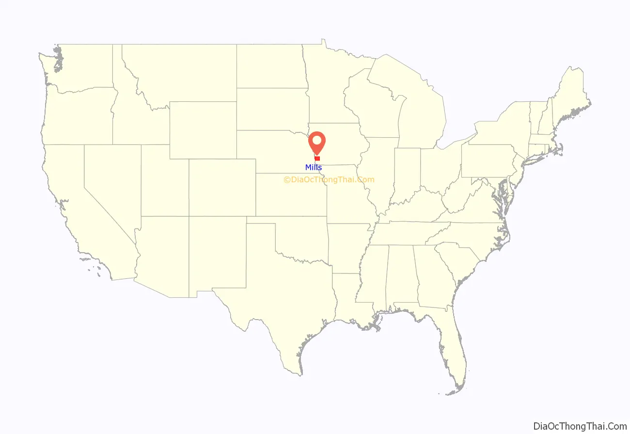
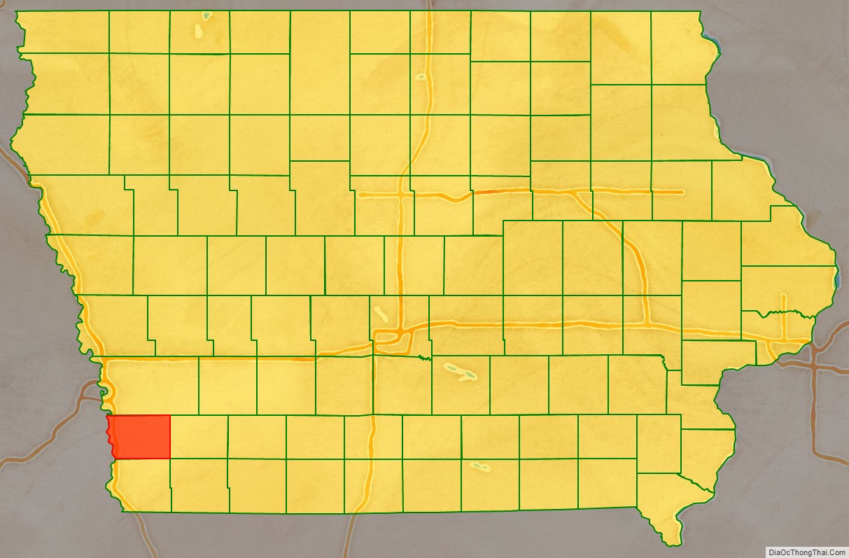
Mills County location map. Where is Mills County?
History
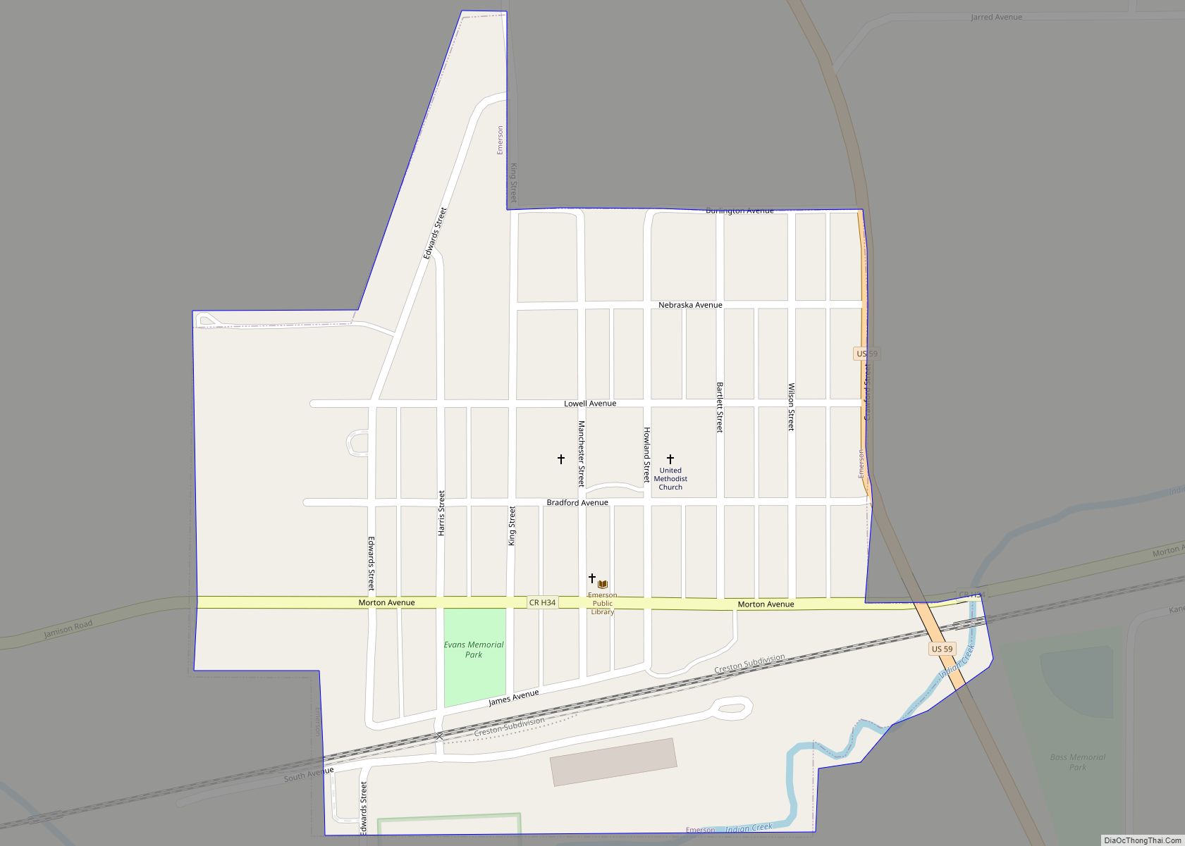
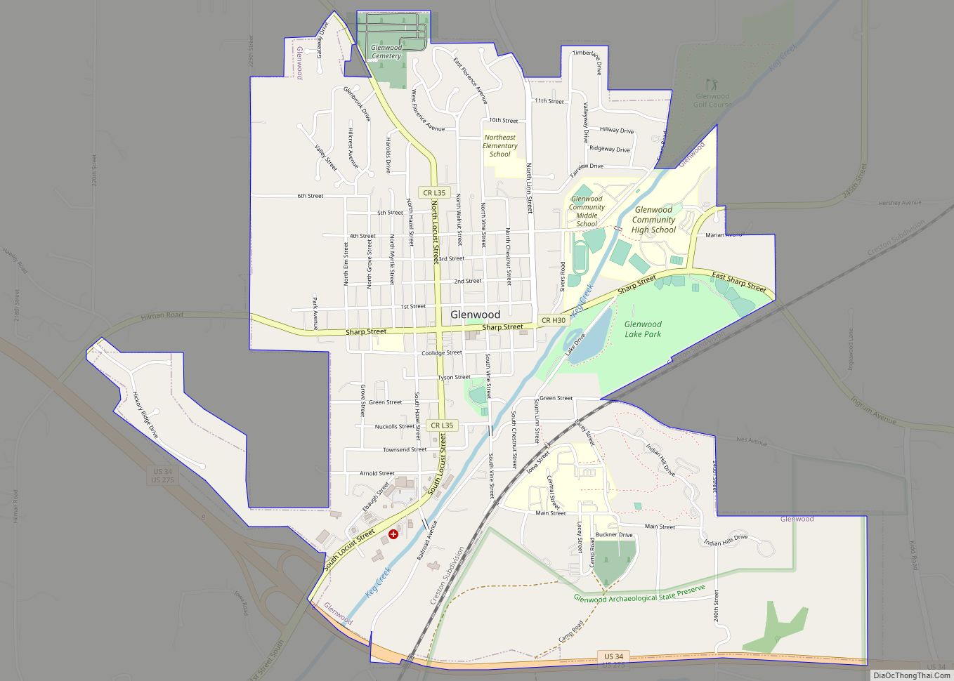
The future county’s first permanent settlement was Rushville, founded in 1846 by persecuted members of the Church of Jesus Christ of Latter-day Saints as they were being driven out of Nauvoo, Illinois. This is not to be confused with the state’s present-day Rushville in Jasper County. A nearby settlement, also founded by the Mormon settlers, was called Coonsville after Dr. Liberius Coons, one of the first arrivals. That settlement continued after the Mormons moved on; its name was changed to Glenwood in 1853.
In Glenwood, the first courthouse was a small frame building which served until 1857. It was replaced by a two-story building, which was enlarged in the 1900s and received a clock tower in 1910. In 1959 this building was replaced with the present building, dedicated on August 29, 1959.
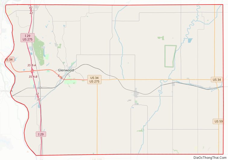
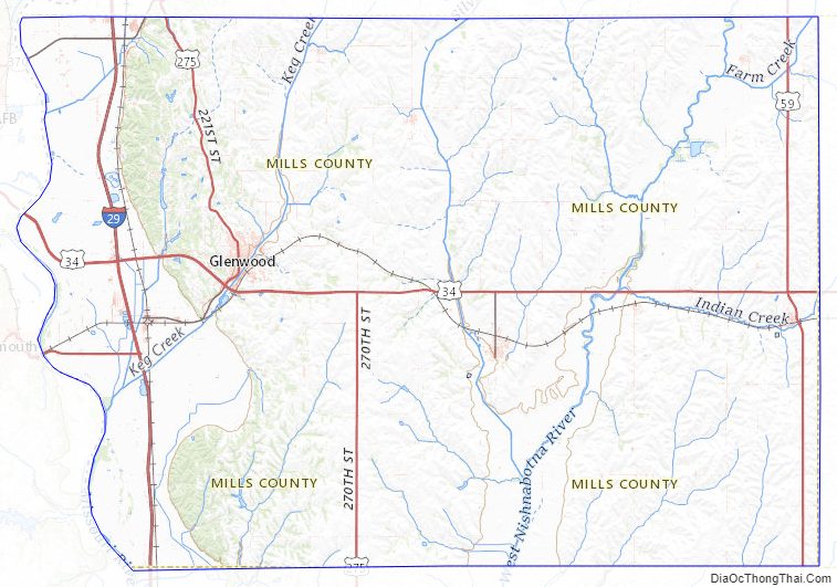
Mills County Road Map
Geography
According to the U.S. Census Bureau, the county has a total area of 441 square miles (1,140 km), of which 437 square miles (1,130 km) is land and 3.2 square miles (8.3 km) (0.7%) is water.
Major highways
- Interstate 29
- U.S. Highway 34
- U.S. Highway 59
- U.S. Highway 275
Adjacent counties
- Pottawattamie County (north)
- Montgomery County (east)
- Fremont County (south)
- Cass County, Nebraska (southwest)
- Sarpy County, Nebraska (west)
Mills County Topographic Map
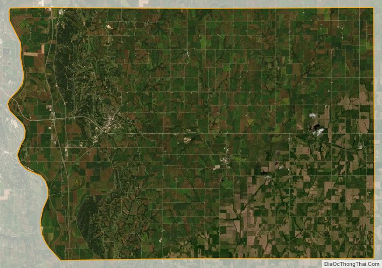
Mills County Satellite Map
Mills County Outline Map