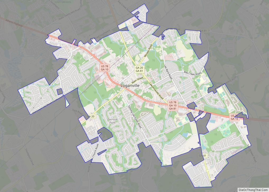
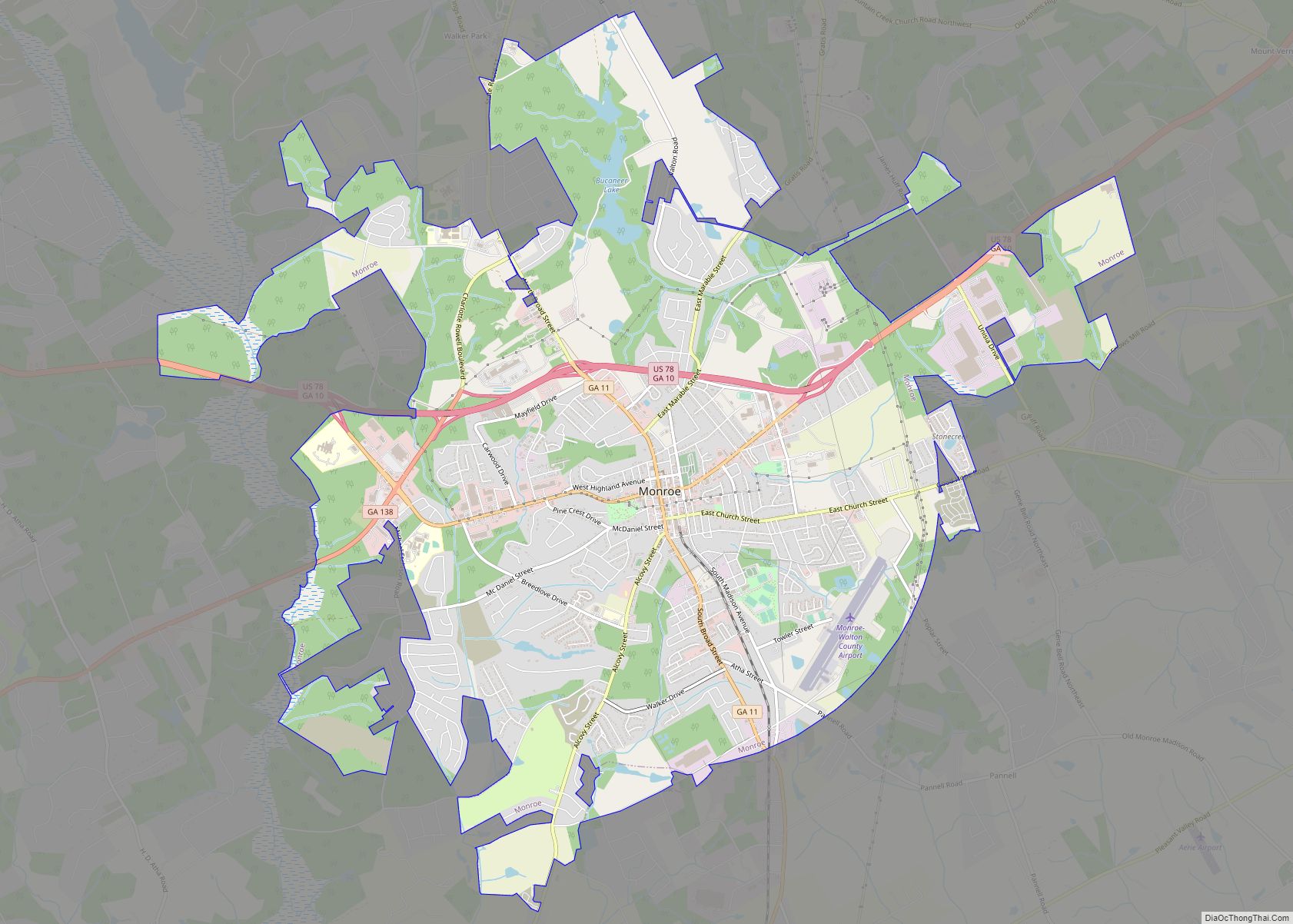
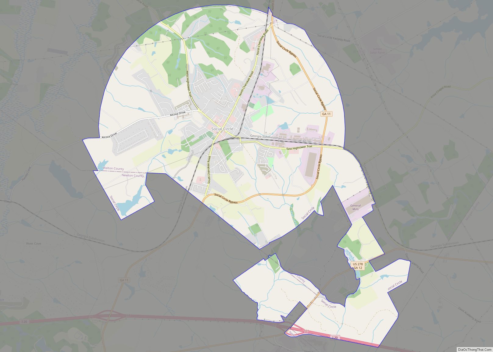
Walton County is a county located in the north central portion of the U.S. state of Georgia. As of the 2020 census, the population was 96,673. It is located about 30 miles east of the state capital, the city of Atlanta. Monroe is the county seat; Loganville is another major city.
Walton County is part of the Atlanta-Sandy Springs-Roswell, GA Metropolitan Statistical Area.
| Name: | Walton County |
|---|---|
| FIPS code: | 13-297 |
| State: | Georgia |
| Founded: | 1818 |
| Named for: | George Walton |
| Seat: | Monroe |
| Largest city: | Monroe |
| Total Area: | 330 sq mi (900 km²) |
| Land Area: | 326 sq mi (840 km²) |
| Total Population: | 96,673 |
| Population Density: | 297/sq mi (115/km²) |
| Time zone: | UTC−5 (Eastern) |
| Summer Time Zone (DST): | UTC−4 (EDT) |
| Website: | www.waltoncountyga.gov |
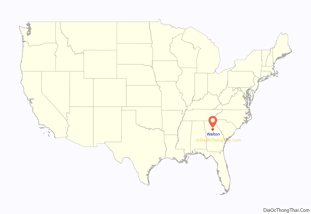
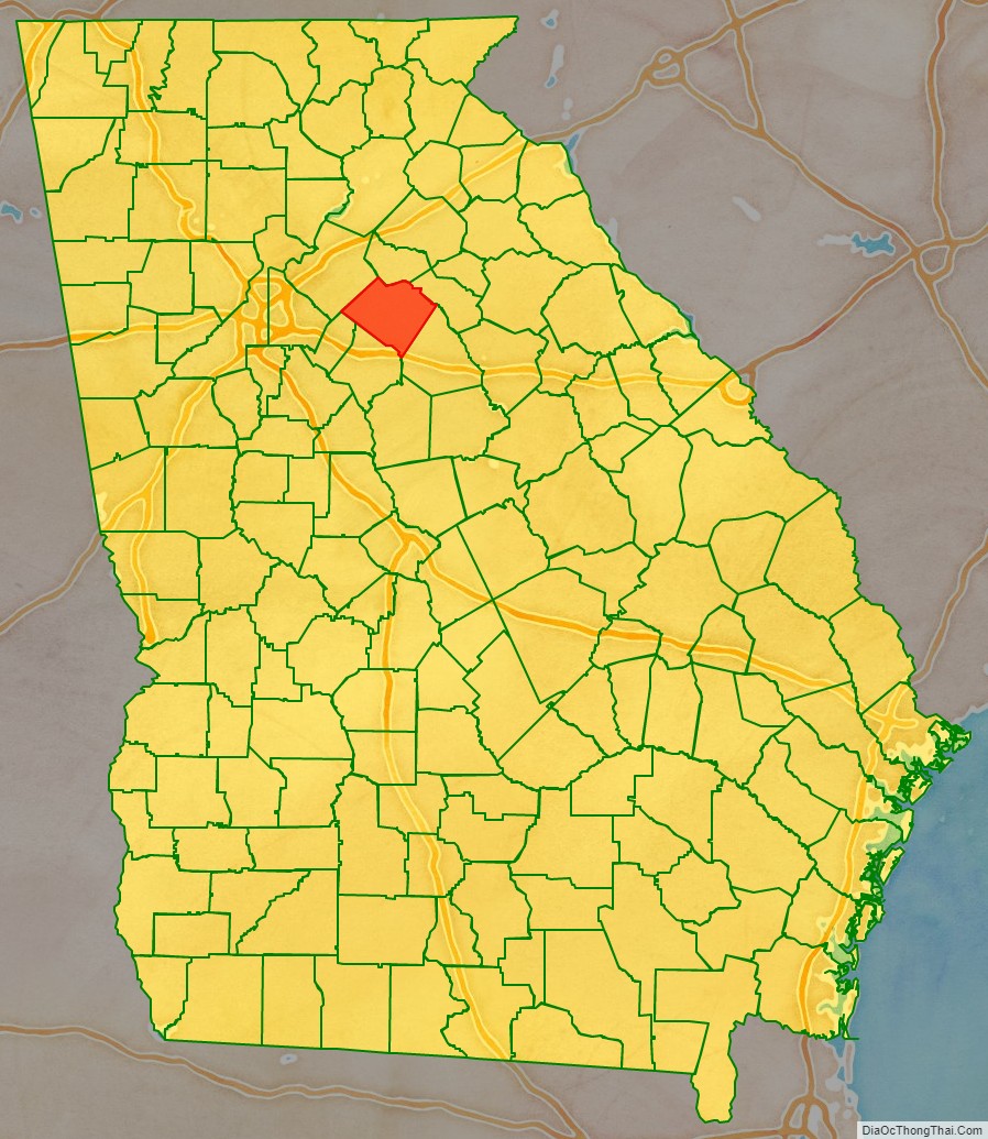
Walton County location map. Where is Walton County?
History
Walton County was created on December 15, 1818. It is named for George Walton, one of the three men from Georgia who signed the United States Declaration of Independence. The other two were Button Gwinnett and Lyman Hall.
A Supreme Court ruling in April 1946 had ruled that white primaries were unconstitutional, enabling some black citizens in Georgia to cast ballots for the first time during the primary race later that summer. This increased social tensions in many areas, as whites continued to oppose voting by blacks. In addition, many whites resisted black veterans’ efforts to gain expanded freedoms following their service during World War II.
Moore’s Ford lynchings (1946)
In July 1946, the county was the site of one of the last mass lynchings of the pre-Civil Rights Era, when four African Americans, two young married couples, were murdered here. African American Roger Malcom had had an argument with a local white farmer, “ostensibly over a woman”. He and his pregnant wife, and her cousin and her husband, were beaten and lynched on July 25.
A historical highway marker erected by the state in the 21st century reads:
The sign is at 33° 51.417′ N, 83° 36.733′ W. Marker is near Monroe, Georgia, in Walton County. This is at the intersection of U.S. 78 and Locklin Road, on the right when traveling east on U.S. 78.
In 1998, local people arranged a biracial memorial service honoring the victims, which was held at Moore’s Ford Bridge. Since then a local interracial committee organized to rekindle attention to the case, in hopes of bringing justice to the victims. They also gained state support to erect the historical highway marker noted above to mark the unsolved murders and commemorate the victims.
In the 21st century, commemoration has included an on-site reenactment, held annually since 2005 as part of the education effort.
Fire in a Canebrake: The Last Mass Lynching in America (2003), by author Laura Wexler, is among the books to explore the case and social context, and related evidence, including reference to contemporary FBI reports in the investigation ordered under President Truman.
In the early 21st century, the US Department of Justice reopened an investigation into the cold case, but they were unable to gain sufficient evidence to prosecute any survivors among the more than 50 suspects that FBI files from 1946 had suggested had been involved in the lynching. A local multi-ethnic committee continues to press for the case to be reviewed again in hopes of bringing justice to the victims. In February 2014 they presented a video to the Walton Board of Commissioners about the case.
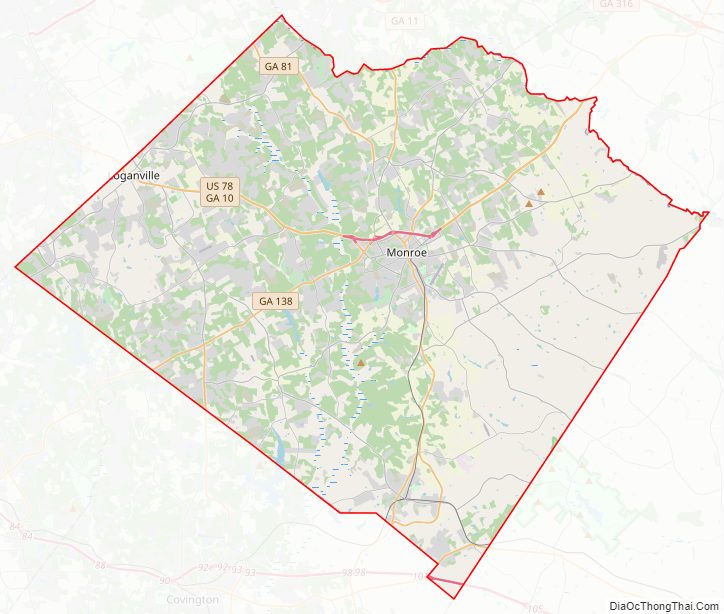
Walton County Road Map
Geography
According to the U.S. Census Bureau, the county has a total area of 330 square miles (850 km), of which 326 square miles (840 km) is land and 4.3 square miles (11 km) (1.3%) is water. The county is located in the Piedmont region of the state.
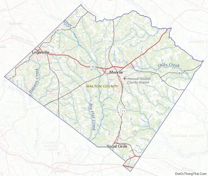
The western half of Walton County, in a half circle from Social Circle through Monroe to northeast of Loganville, is located in the Upper Ocmulgee River sub-basin of the Altamaha River basin. The eastern part of the county, east of that curve, is located in the Upper Oconee River sub-basin of the same Altamaha River basin.
Adjacent counties
- Barrow County – north
- Oconee County – northeast
- Morgan County – southeast
- Newton County – south
- Rockdale County – southwest
- Gwinnett County – northwest
Walton County Topographic Map
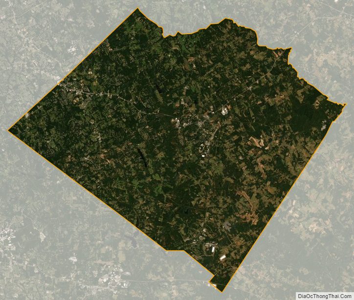
Walton County Satellite Map
Walton County Outline Map