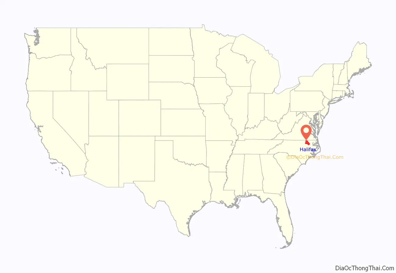
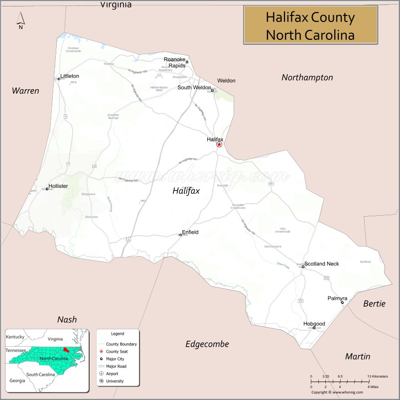
Halifax County is a county located in the U.S. state of North Carolina. As of the 2020 census, the population was 48,622. Its county seat is Halifax.
Halifax County is part of the Roanoke Rapids, NC Micropolitan Statistical Area, which is also included in the Rocky Mount–Wilson-Roanoke Rapids, NC Combined Statistical Area.
| Name: | Halifax County |
|---|---|
| FIPS code: | 37-083 |
| State: | North Carolina |
| Founded: | 1758 |
| Named for: | George Montagu-Dunk, 2nd Earl of Halifax |
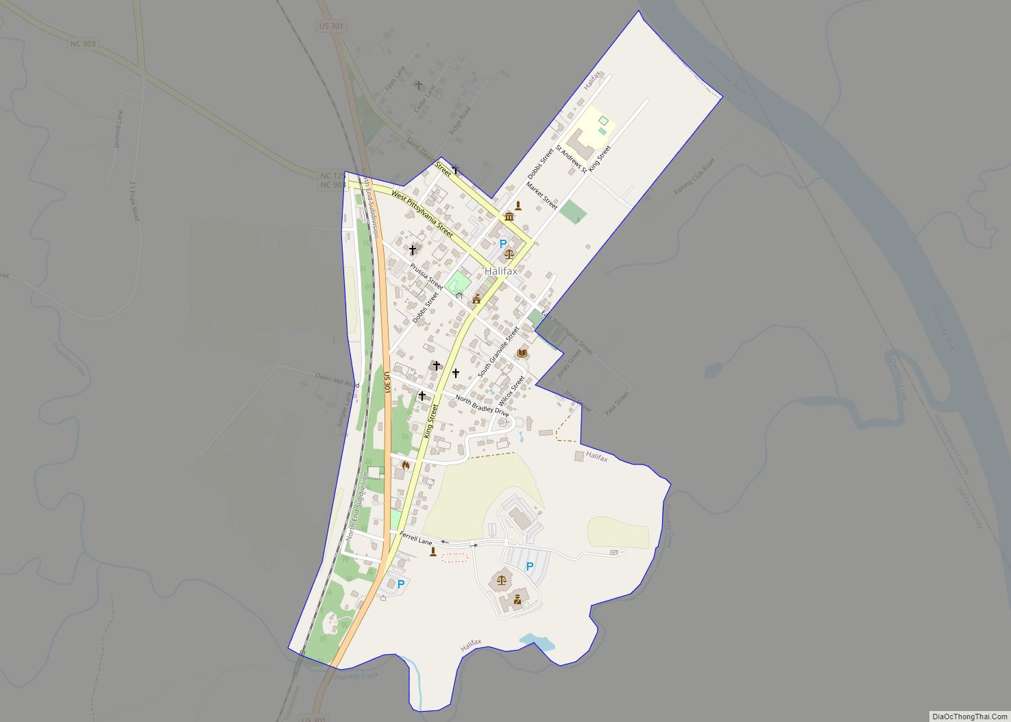
| Seat: | Halifax |
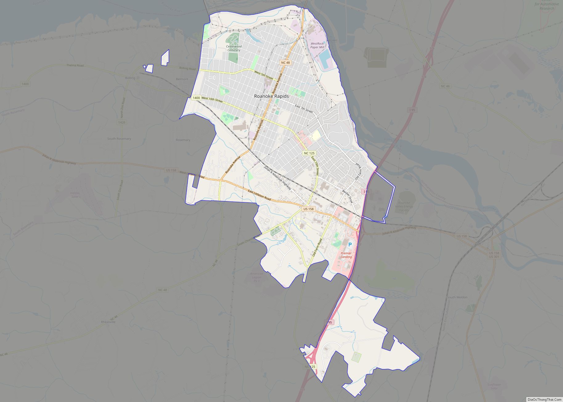
| Largest city: | Roanoke Rapids |
| Total Area: | 731 sq mi (1,890 km²) |
| Land Area: | 724 sq mi (1,880 km²) |
| Total Population: | 48,272 |
| Population Density: | 66.7/sq mi (25.8/km²) |
| Time zone: | UTC−5 (Eastern) |
| Summer Time Zone (DST): | UTC−4 (EDT) |
| Website: | www.halifaxnc.com |
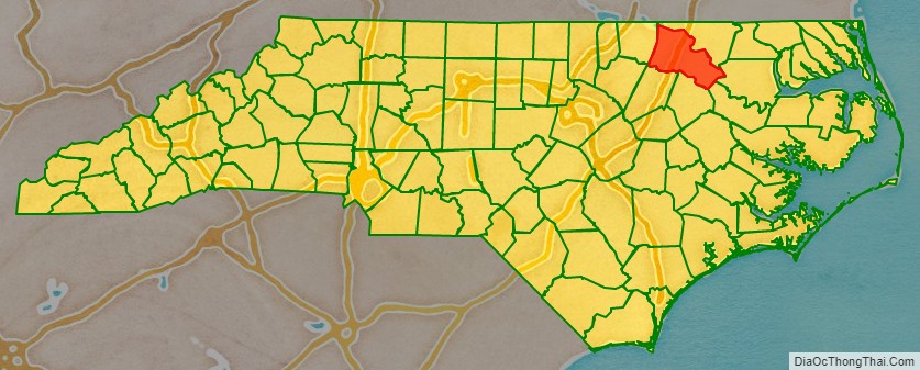
Halifax County location map. Where is Halifax County?
History
Halifax County is located in North Carolina’s Coastal Plain region. The geography and history of the county were shaped by the Roanoke River, which forms its northern boundary. According to Preservation North Carolina, “Halifax County, designated in 1759, is one of the oldest counties in North Carolina with a rich history dating back to the earliest days of European settlement of North America. Over the years, Halifax County has provided North Carolina with more leaders – governors, congressmen, generals – than any other county in the state.”
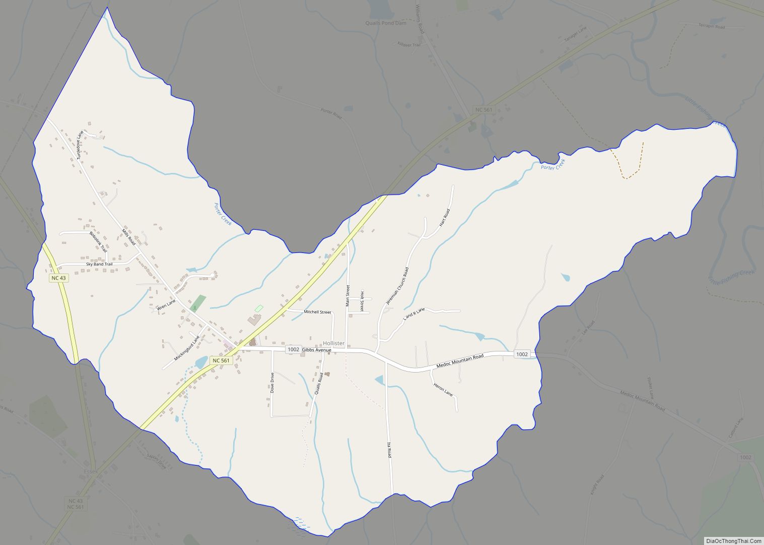
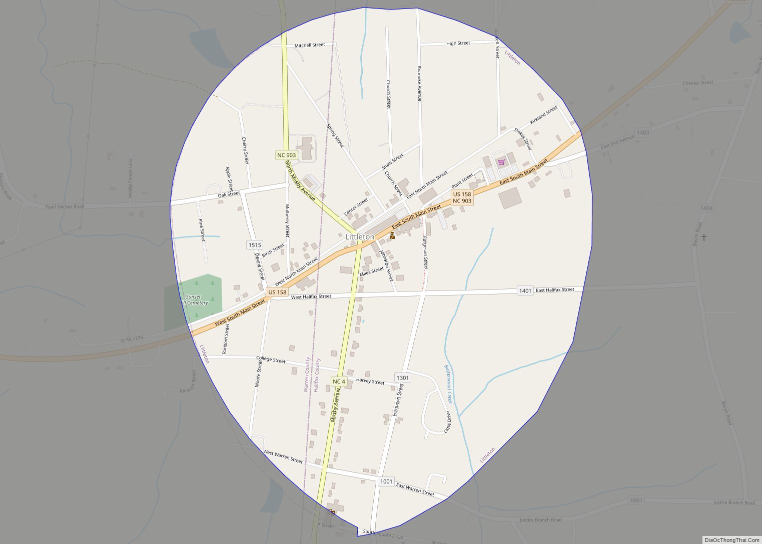
Originally the area was home to Tuscarora Indians and then it was settled in the early 18th century by English colonists migrating south from Virginia and also from New Jersey. The town of Halifax developed along the banks of the Roanoke River and established itself as the trading center for goods passing from settlement to settlement. The Roanoke River played a major role in the county’s development, so much so that Halifax County was even considered as a potential capital of North Carolina. It remained a prosperous county until the railroads usurped the river as the major form of transportation. After Halifax County separated from Edgecombe County, the town of Halifax became the county seat (Enfield was the original county seat when Halifax was part of Edgecombe County). All territory within the boundaries of Edgecombe County north of Fishing Creek and Rainbow Banks on the Roanoke River (approximately 711 square miles) was officially designated as Halifax County on January 1, 1759. The current Halifax County towns include Enfield, Hobgood, Littleton, Roanoke Rapids, Scotland Neck, and Weldon.
Besides having 40 sites on the National Register of Historic Places, Halifax County is also historically significant because of two events preceding the American Revolution. John Lord Carteret, the second Earl Granville, inherited a one-eighth share of Carolina territory originally granted to Sir George Carteret by the British Crown. The second Earl Granville administered the district (an area between the present Virginia-North Carolina border and a line about 65 miles south) from across the Atlantic, but there was little oversight and the land agents he put in charge of granting land, collecting rent and surveying for settlers – Edward Moseley, Francis Corbin and Thomas Child – were often accused of malfeasance by settlers and landowners.
On January 24, 1759, a group of men from Halifax and Edgecombe counties rode to Francis Corbin’s house in Edenton and seized him during the night. The men were upset because Corbin had extorted money from them when collecting rents for Lord Granville who controlled the land on which they lived. Corbin was taken to Enfield, along with a co-conspirator Thomas Bodley – and the men were kept in jail for four days – until they agreed to acknowledge the corruption and set records straight. Enfield was the seat of the judicial district, including Northampton, Granville, and Edgecombe County, before Halifax became the county seat.
Although Corbin was eventually relieved of his duties by Lord Granville, a few months later a court accused the Halifax and Edgecombe men of kidnapping. The kidnappers were imprisoned in the Enfield jail and a second “riot” erupted on May 14, 1759, when a mob broke into the jail and freed the men who had kidnapped Corbin and Bodley. Distrust of the British Crown and the rule of royal governors continued to foment unrest in eastern North Carolina until the colony became the first of its peers to recommend American independence.
On April 12, 1776, the North Carolina Provincial Congress met in Halifax and passed a resolution known as the Halifax Resolves. The first resolution of its kind, the document instructed North Carolina’s delegates to the Second Continental Congress in Philadelphia to vote for independence from Great Britain. The date of the Halifax Resolves is commemorated on the state’s flag. Each year April 12 is celebrated as Halifax Day, with individuals in period costumes demonstrating colonial-era activities and craftsmanship.
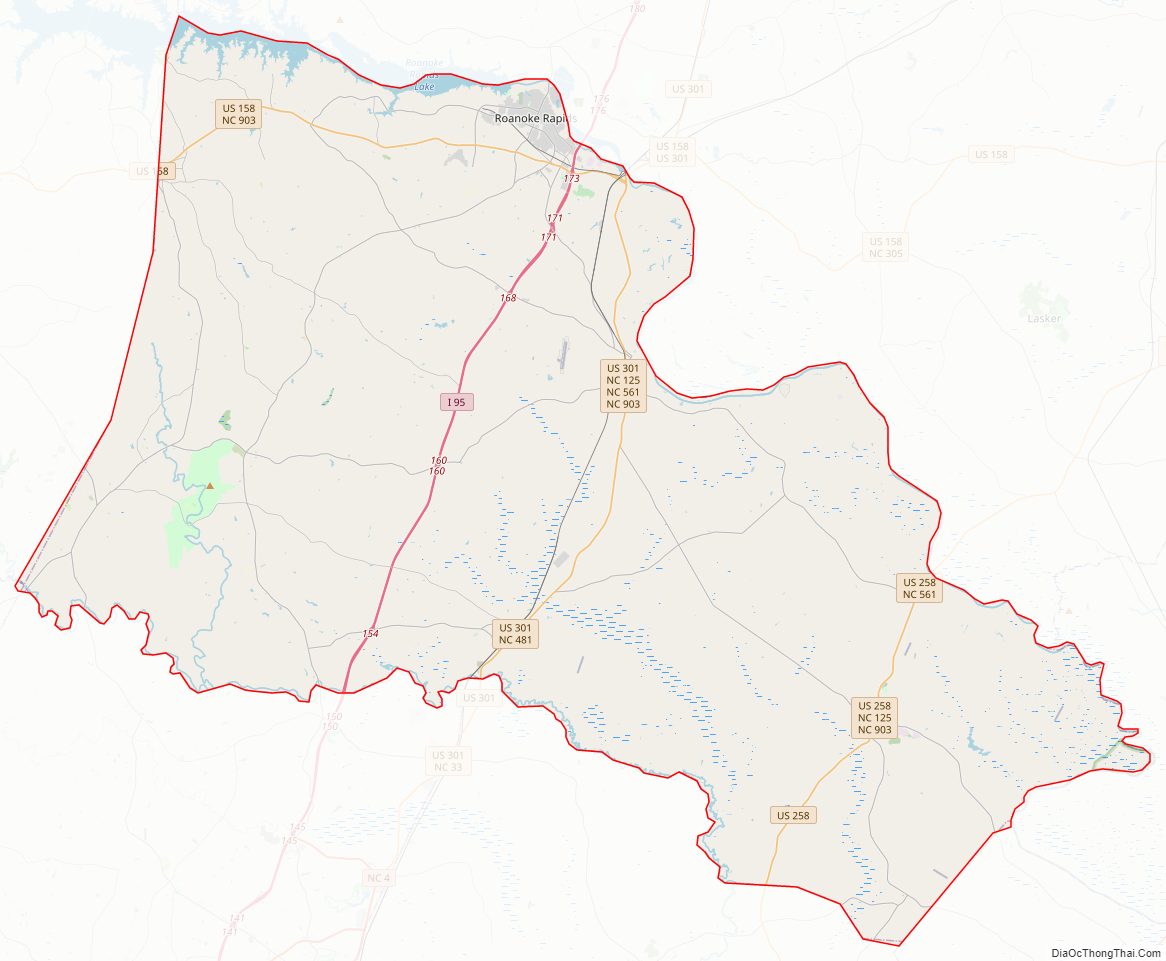
Halifax County Road Map
Geography
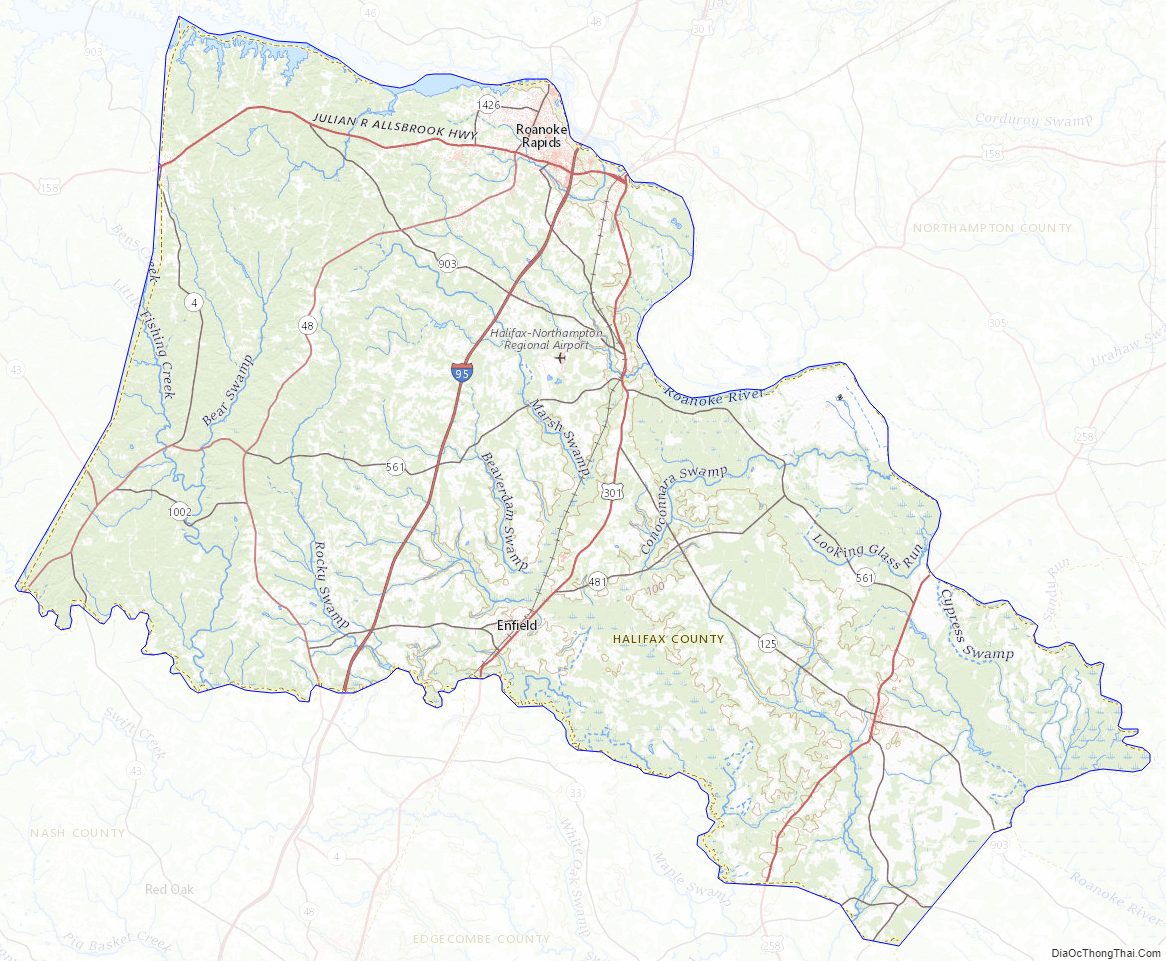
According to the U.S. Census Bureau, the county has a total area of 731 square miles (1,890 km), of which 724 square miles (1,880 km) is land and 7.1 square miles (18 km) (1.0%) is water.
Some of Halifax County’s natural attractions include Medoc Mountain State Park, Lake Gaston, and Roanoke Rapids Lake. Sylvan Bird Park in Scotland Neck is home to the world’s largest collection of waterfowl. According to a North Carolina Deer Hunting 2016 -2017 study, Halifax County had the most number of harvested whitetail deer.
The Lakeland Arts Center, the Canal Arts Center, and the Roanoke Valley Players theater group are a few of the county’s cultural institutions. With 328 seats and an 11-piece orchestra pit, Lakeland Theatre Company in Littleton marks several decades of showcasing plays and concerts. The Enfield Performing Arts Center had its first film festival in October 2017, featuring the work of local and nationally known film makers.
With 195,896 acres in farmland, Halifax County agricultural products include tobacco, peanuts, cotton, corn, soybeans. In addition, Halifax County sits in the heart of the great southern wood basket. The southern forests produce 12 percent of the world’s wood product and 19 percent of its pulp and paper.
State and local protected areas/sites
- Historic Halifax
- Lake Gaston Day Use Area (part)
- Medoc Mountain State Park
- Roanoke Rapids Lake Day Use Area (part)
- Tillery Game Land (part)
Major water bodies
- Bear Swamp
- Beaverdam Swamp
- Deep Creek
- Fishing Creek
- Indian Branch
- Lake Gaston
- Little Quankey Swamp
- Marsh Swamp
- Martin Swamp
- Quankey Swamp
- Roanoke Rapids Lake
- Roanoke River
- Rocky Swamp
Adjacent counties
- Northampton County – north-northeast
- Bertie County – east
- Martin County – southeast
- Edgecombe County – south
- Nash County – south
- Franklin County – southwest
- Warren County – west
Major highways
- I-95
- US 158
- US 258
- US 301
- US 301 Bus.
- NC 4
- NC 43
- NC 48
- NC 97
- NC 122
- NC 125
- NC 481
- NC 481 Bus.
- NC 561
- NC 903
Major infrastructure
- Halifax-Northampton Regional Airport
Halifax County Topographic Map
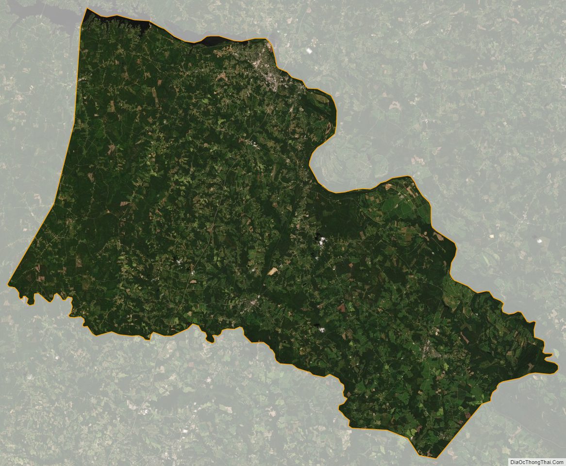
Halifax County Satellite Map
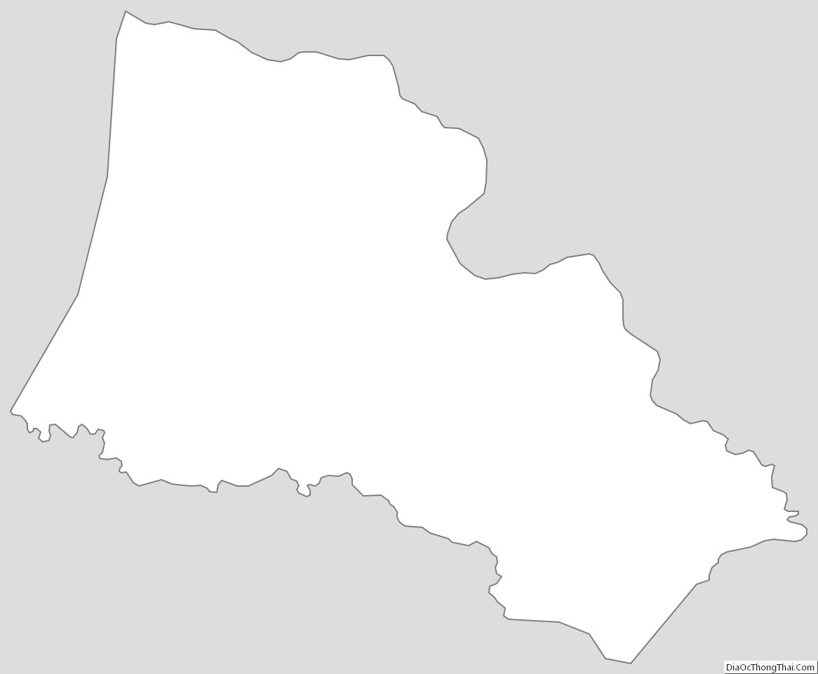
Halifax County Outline Map