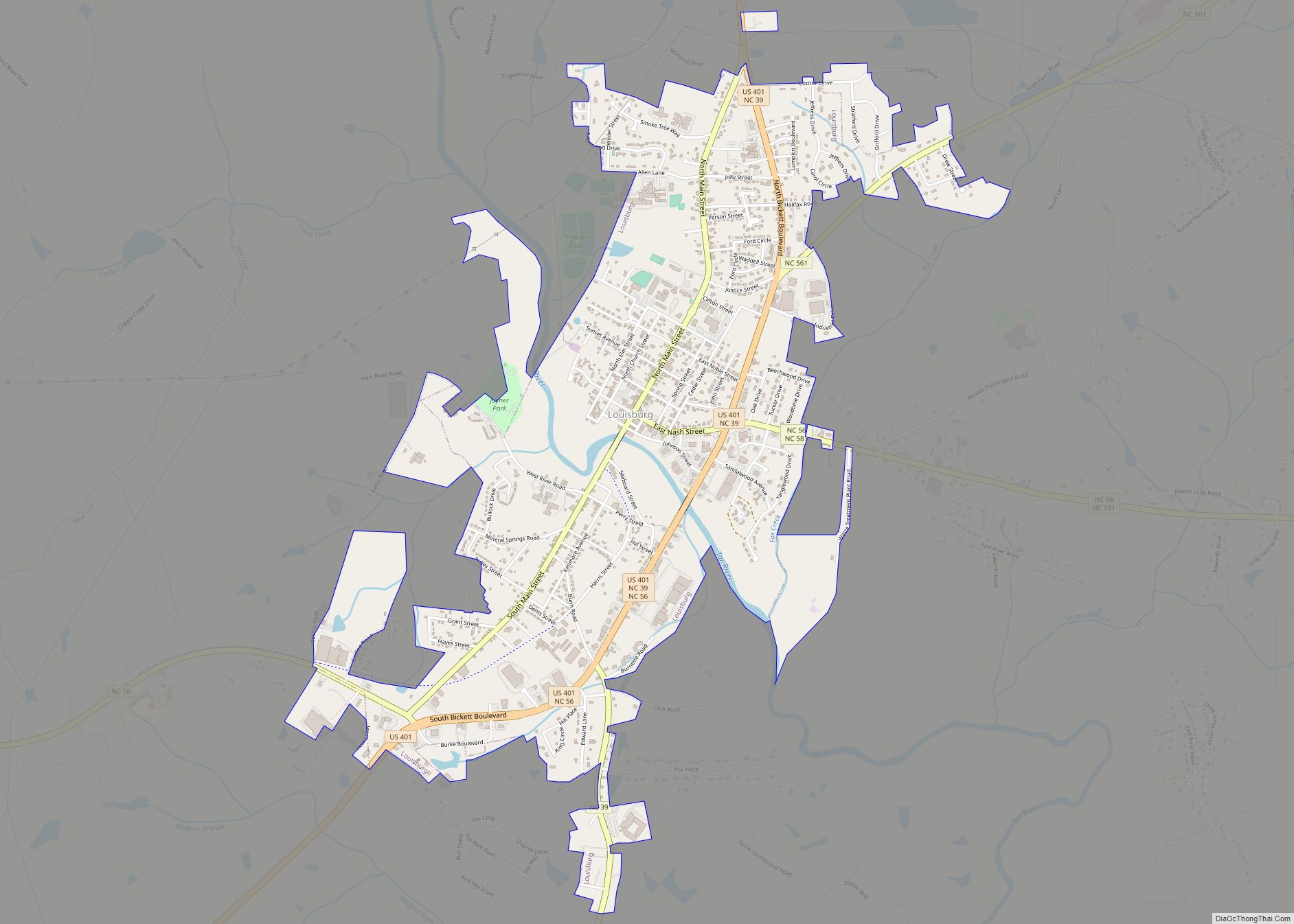
Franklin County is a county located in the U.S. state of North Carolina. As of the 2020 census, the population was 68,573. Its county seat is Louisburg.
Franklin County is included in the Raleigh, NC Metropolitan Statistical Area, which is also included in the Raleigh-Durham-Chapel Hill, NC Combined Statistical Area, which had a 2019 estimated population of 2,079,687.
| Name: | Franklin County |
|---|---|
| FIPS code: | 37-069 |
| State: | North Carolina |
| Founded: | 1779 |
| Named for: | Benjamin Franklin |
| Seat: | Louisburg |
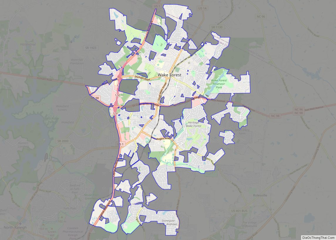
| Largest town: | Wake Forest |
| Total Area: | 494 sq mi (1,280 km²) |
| Land Area: | 492 sq mi (1,270 km²) |
| Total Population: | 68,573 |
| Population Density: | 140/sq mi (54/km²) |
| Time zone: | UTC−5 (Eastern) |
| Summer Time Zone (DST): | UTC−4 (EDT) |
| Website: | www.franklincountync.gov |
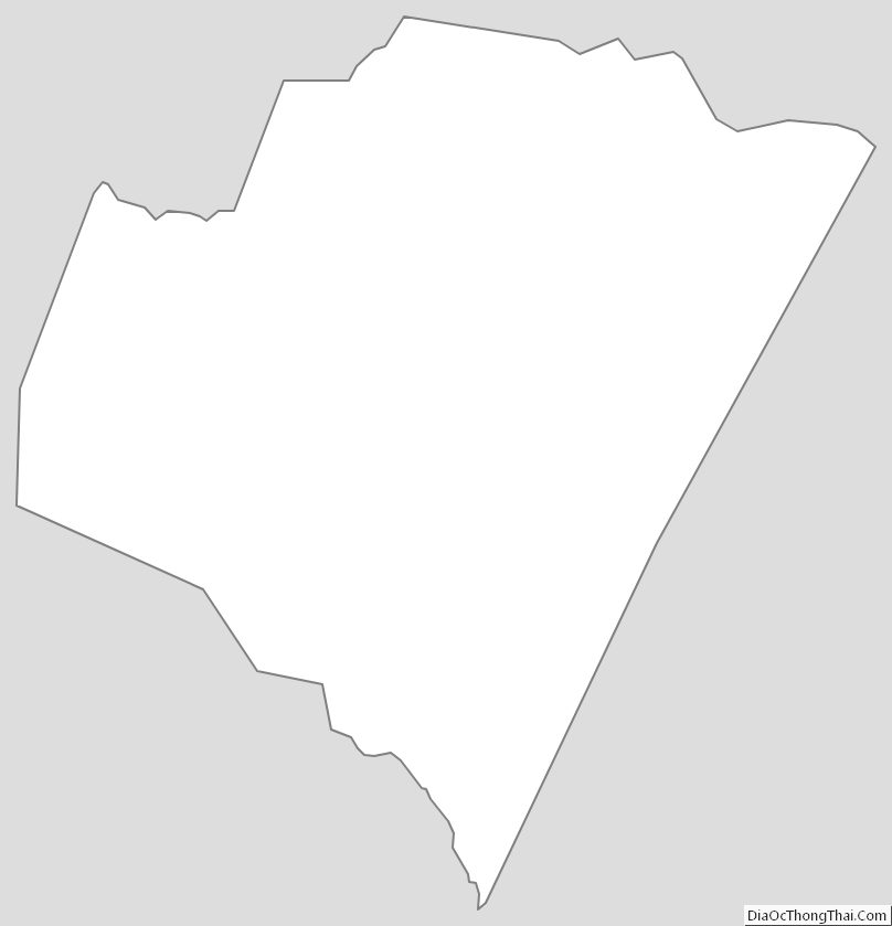
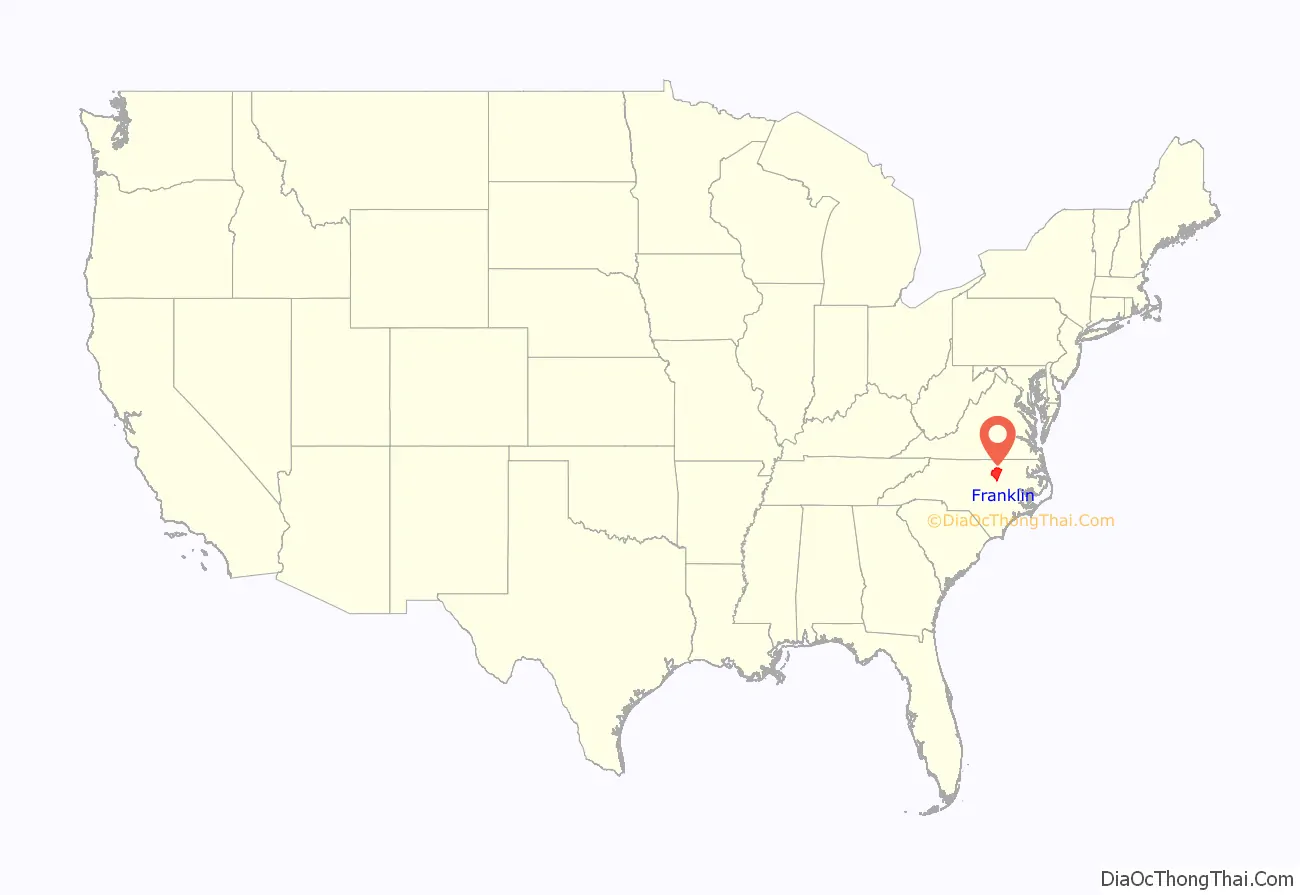
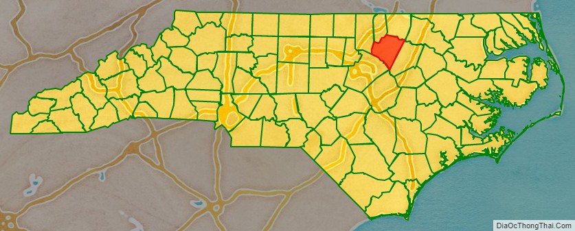
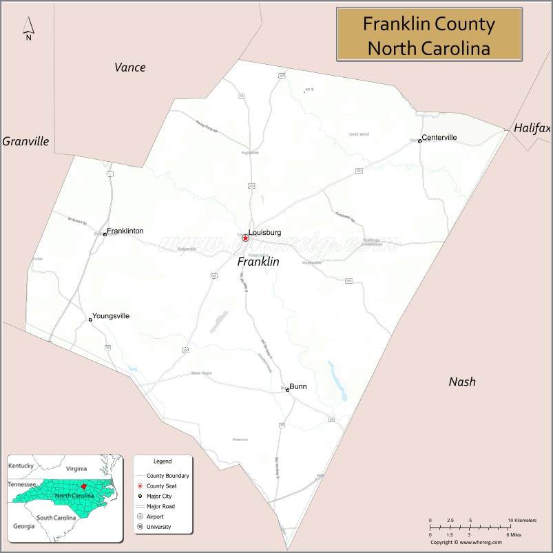
Franklin County location map. Where is Franklin County?
History
The county was formed in 1779 from the southern half of Bute County. It is named for Benjamin Franklin. It is a part of the Research Triangle.
County formation timeline
- 1664 Albemarle County formed (original, extinct)
- 1668 Albemarle County subdivided into Carteret, Berkeley, & Shaftesbury Precincts
- 1681 Shaftesbury Precinct renamed Chowan Precinct
- 1722 Bertie Precinct formed from Chowan Precinct
- 1739 Bertie Precinct becomes Bertie County
- 1741 Edgecombe County formed from Bertie County
- 1746 Granville County formed from Edgecombe County
- 1754 Creation of Bertie Precinct, Edgecombe County, & Granville County repealed by King George II, in Privy Council
- 1756 Bertie, Edgecombe, & Granville re-created
- 1764 Bute County (extinct) formed from Granville County
- 1779 Franklin County formed from Bute County (extinct)
- 1787 Franklin County gains land from Wake County
- 1875 Franklin County gains land from Granville County
- 1881 Franklin County loses land to help form Vance County
School desegregation
The integration of Franklin County Schools in 1965–1968 was marked by a federal lawsuit and some violence against African-American residents. The North Carolina Humanities Council funded the Tar River Center for History and Culture at Louisburg College to prepare “An Oral History of School Desegregation in Franklin County, North Carolina.”
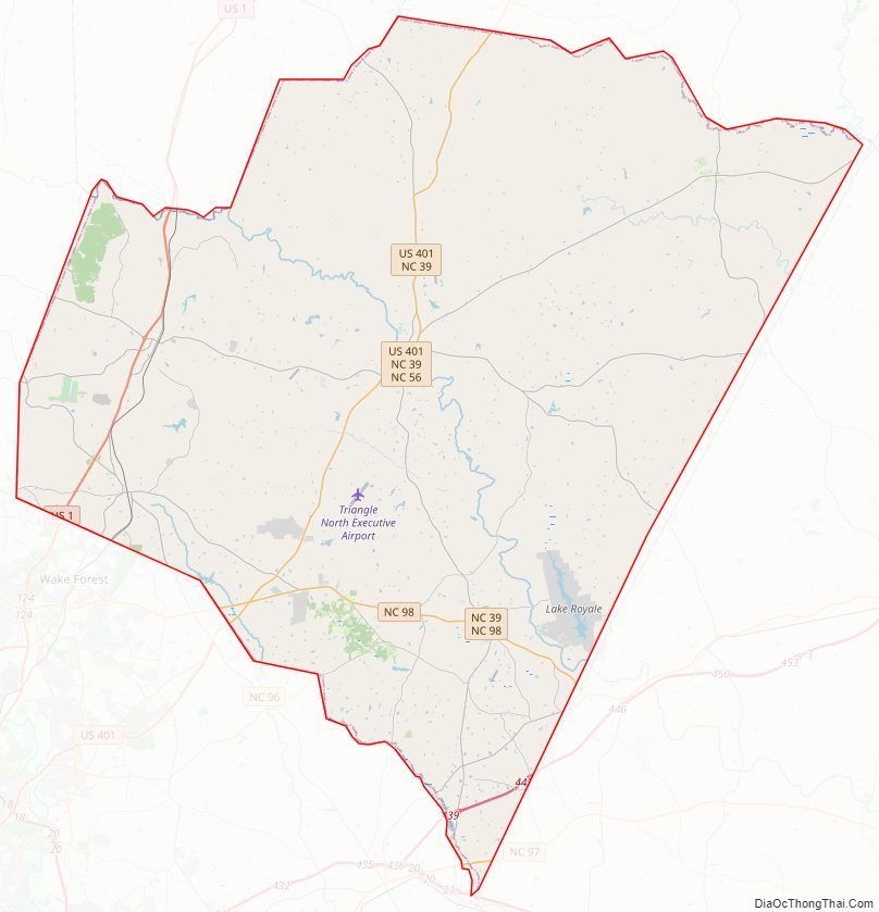
Franklin County Road Map
Geography
According to the U.S. Census Bureau, the county has a total area of 494 square miles (1,280 km), of which 492 square miles (1,270 km) is land and 2.8 square miles (7.3 km) (0.6%) is water.
State and local protected area
- V.E. and Lydia H. Owens Recreational Park at Bull Creek
Major water bodies
- Buffalo Creek
- Camping Creek
- Crooked Creek
- Fishing Creek
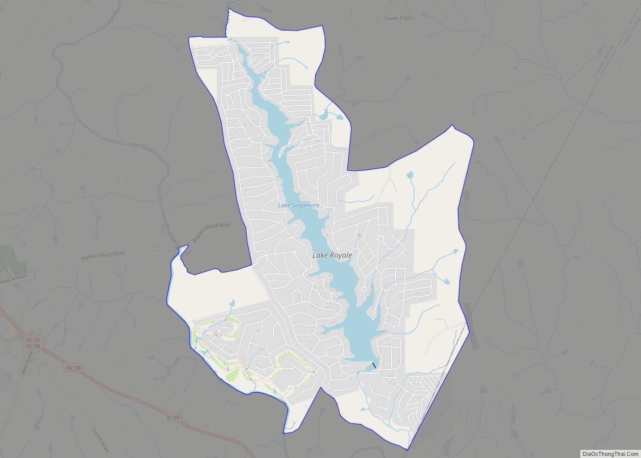
- Lake Royale
- Little River (Neuse River tributary)
- Sandy Creek
- Shocco Creek
- Tar River
Adjacent counties
- Warren County – northeast
- Vance County – north
- Granville County – northwest
- Wake County – southwest
- Nash County – east
Major highways
- Future I-87 (Concurrency with US 64)
- US 1
- US 1A
- US 64
- US 401
- NC 39
- NC 56
- NC 58
- NC 96
- NC 97
- NC 98
- NC 561
- NC 581
Major infrastructure
- Triangle North Executive Airport
Franklin County Topographic Map
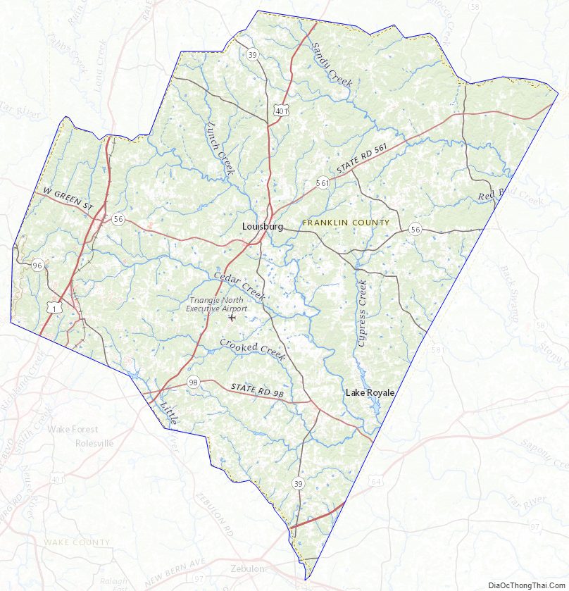
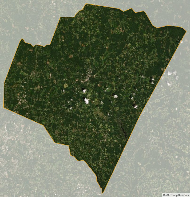
Franklin County Satellite Map
Franklin County Outline Map