Newton County is a county in the U.S. state of Arkansas. As of the 2020 census, the population was 7,225. The county seat is Jasper. Newton County is Arkansas’s 46th county, formed on December 14, 1842, and named for Thomas W. Newton, an Arkansas Congressman. It is an alcohol prohibition or dry county.
Newton County is part of the Harrison, AR Micropolitan Statistical Area.
| Name: | Newton County |
|---|---|
| FIPS code: | 05-101 |
| State: | Arkansas |
| Founded: | December 14, 1842 |
| Named for: | Thomas Willoughby Newton |
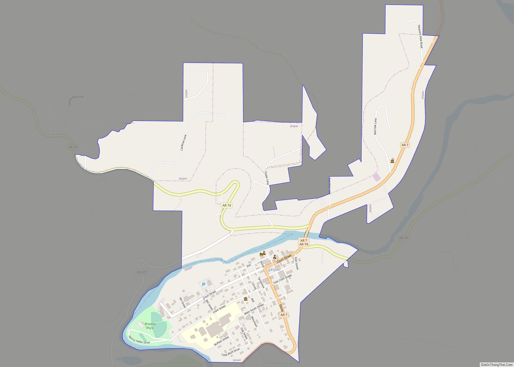
| Seat: | Jasper |
| Largest city: | Jasper |
| Total Area: | 823 sq mi (2,130 km²) |
| Land Area: | 821 sq mi (2,130 km²) |
| Total Population: | 7,225 |
| Population Density: | 8.8/sq mi (3.4/km²) |
| Time zone: | UTC−6 (Central) |
| Summer Time Zone (DST): | UTC−5 (CDT) |
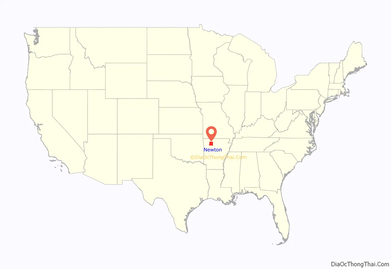
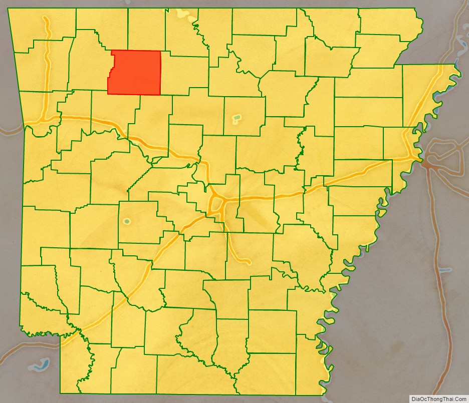
Newton County location map. Where is Newton County?
History
Newton County residents were divided during the Civil War, serving in both the Confederate and Union armies. John Cecil, who had served as Newton County’s sheriff, served as a Confederate Captain. Jasper blacksmith James R. Vanderpool (ca. 1832–1880) served as Captain of Union Company C, 1st Regiment Arkansas Infantry Volunteers, while farmer and teacher John McCoy (1820–1903) served as Captain of Union Company F, 1st Regiment Arkansas Infantry Volunteers. Many Newton County citizens served under each of these men, as well as in other units. As an example of how the war divided families, Confederate Captain Cecil’s brother, Sam, served as a sergeant in Union Company D, 2nd Regiment Arkansas Cavalry Volunteers. Violence took a severe toll on the civilian population, and at one point, Captains McCoy and Vanderpool escorted 20 wagons of Unionist families from Newton County to Missouri to seek refuge.
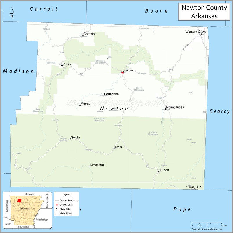
Newton County Road Map
Geography
According to the U.S. Census Bureau, the county has a total area of 823 square miles (2,130 km), of which 821 square miles (2,130 km) is land and 2.3 square miles (6.0 km) (0.3%) is water.
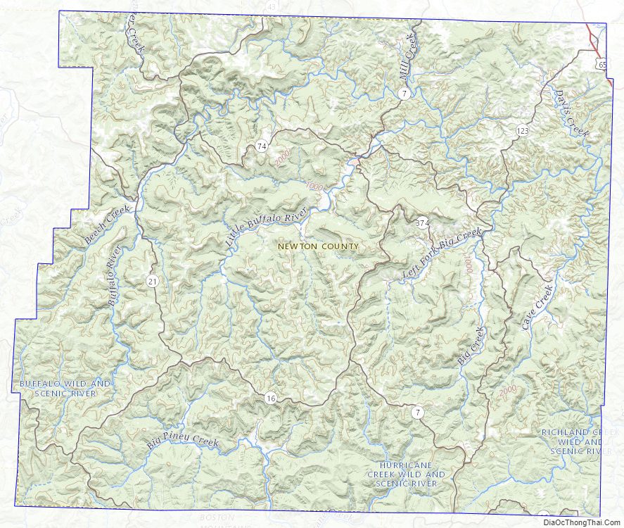
Newton County lies almost entirely within the rugged Boston Mountain range of the Ozark Mountains where elevations exceed 2,500 feet (760 m). The Buffalo National River, a popular destination for canoeing and recreation, runs through the county from west to east. Highway 7, which traverses the county from north to south, has been rated as one of the most scenic drives in the region.
Adjacent counties
- Boone County (north)
- Searcy County (east)
- Pope County (southeast)
- Johnson County (south)
- Madison County (west)
- Carroll County (northwest)
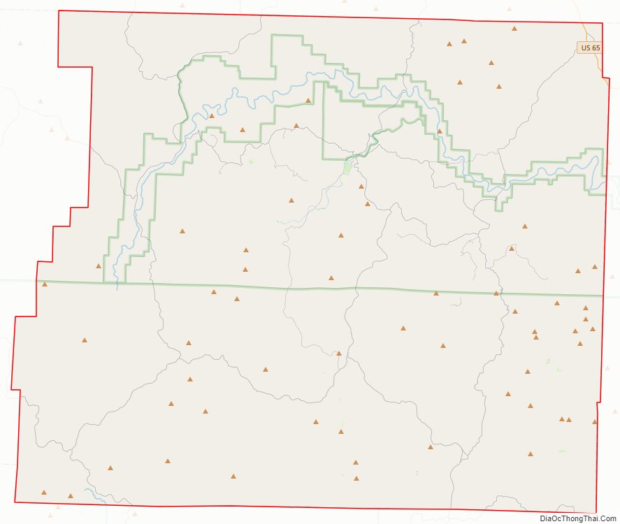
National protected areas
- Buffalo National River (part)
- Ozark National Forest (part)
- Upper Buffalo Wilderness
- Mystic Cavern
Newton County Topographic Map
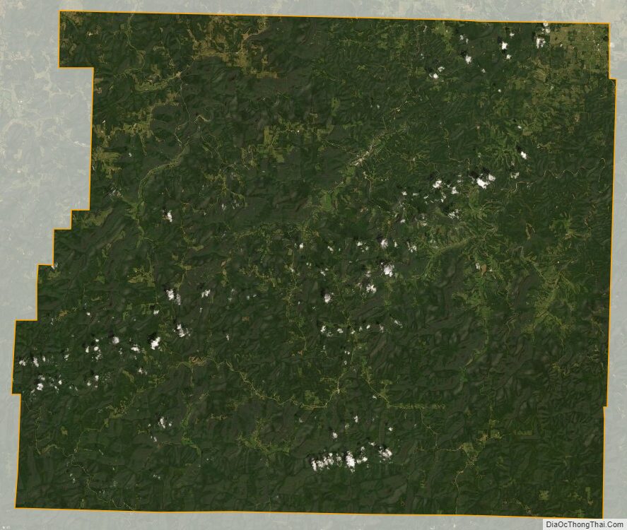
Newton County Satellite Map
Newton County Outline Map