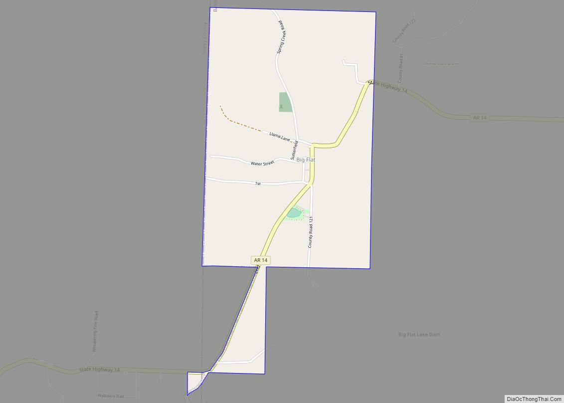
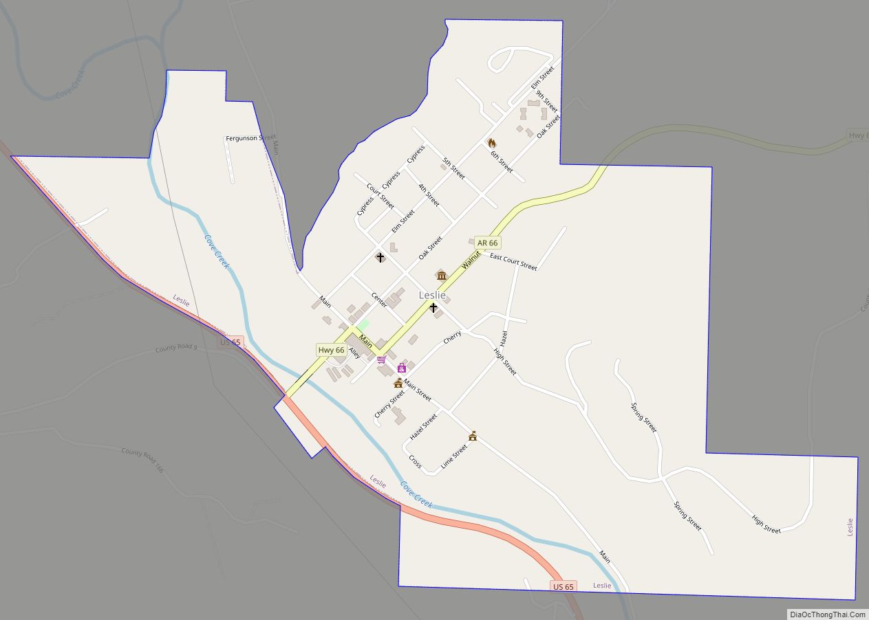
Searcy County (/ˈsɜːrsi/ SUR-see) is a county located in the U.S. state of Arkansas. As of the 2020 census, the population was 7,828. The county seat is Marshall. The county was formed December 13, 1838, from a portion of Marion County and named for Richard Searcy, the first clerk and judge in the Arkansas Territory. The city of Searcy, Arkansas, some 70 miles away, shares the name despite having never been part of Searcy County. The county is an alcohol prohibition or dry county.
| Name: | Searcy County |
|---|---|
| FIPS code: | 05-129 |
| State: | Arkansas |
| Founded: | December 13, 1838 |
| Named for: | Richard Searcy |
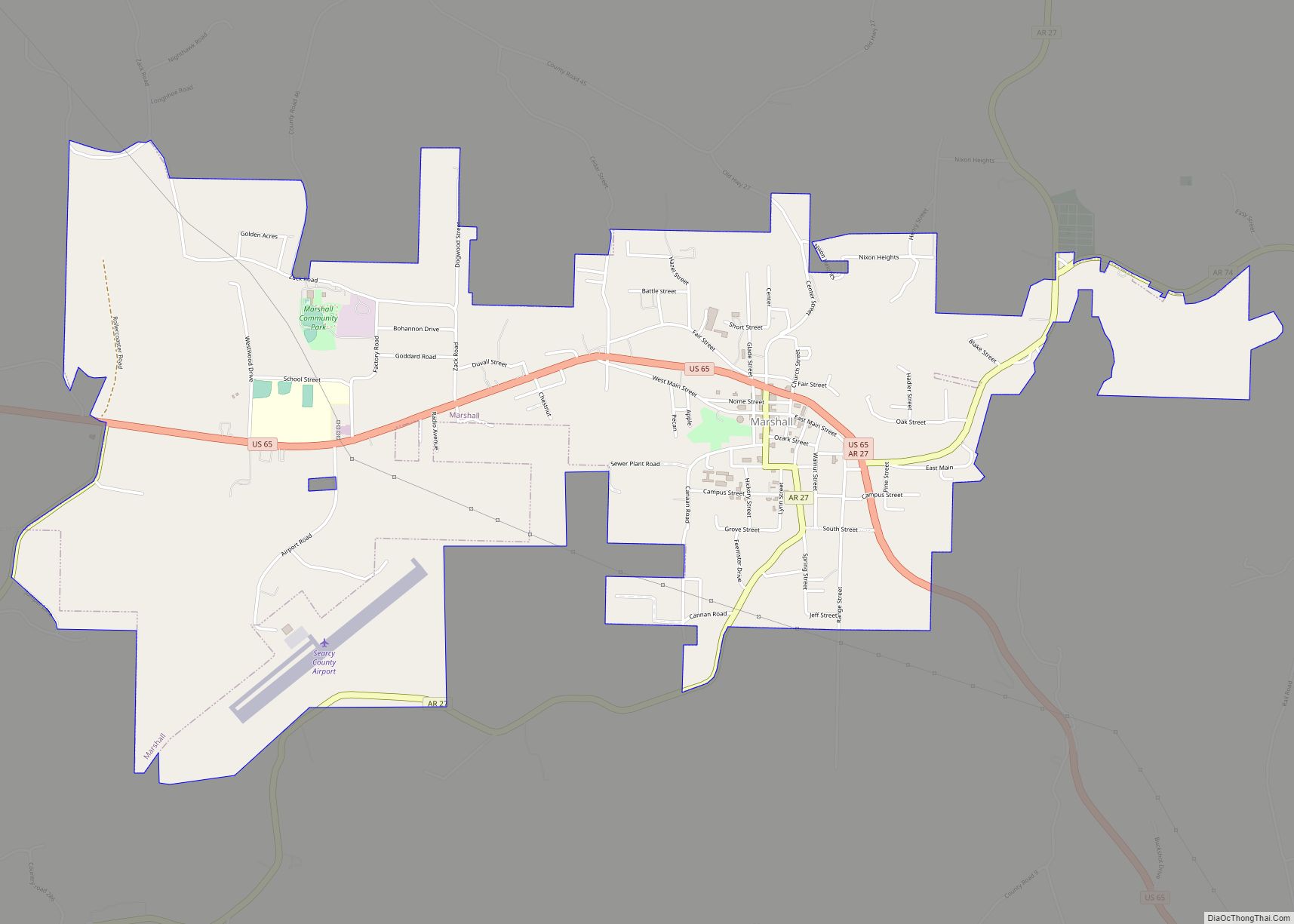
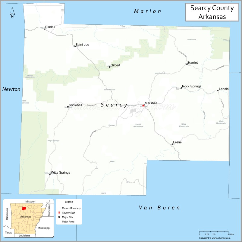
| Seat: | Marshall |
| Largest city: | Marshall |
| Total Area: | 669 sq mi (1,730 km²) |
| Land Area: | 666 sq mi (1,720 km²) |
| Total Population: | 7,828 |
| Population Density: | 12/sq mi (4.5/km²) |
| Time zone: | UTC−6 (Central) |
| Summer Time Zone (DST): | UTC−5 (CDT) |
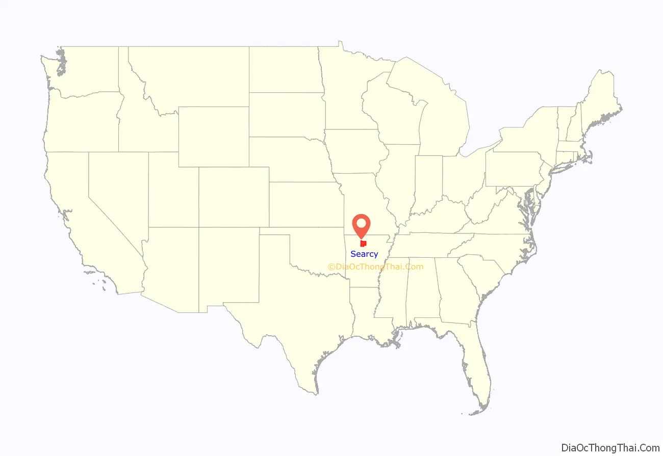
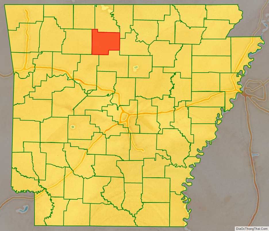
Searcy County location map. Where is Searcy County?
History
During the American Civil War, Searcy County, Arkansas had strong, pro-Union leanings, forming an organization known as the “Arkansas Peace Society”.[1]
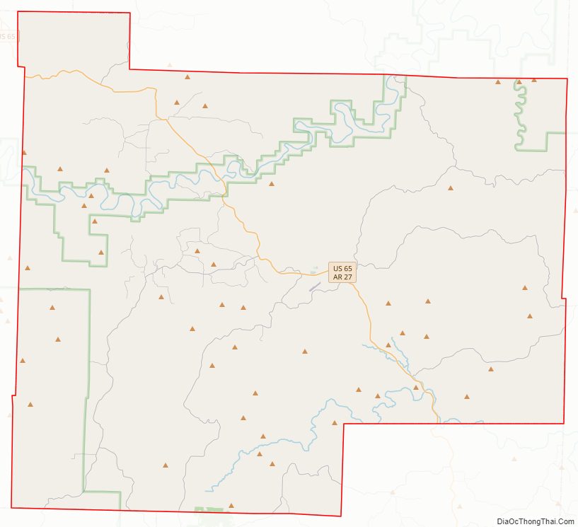
Searcy County Road Map
Geography
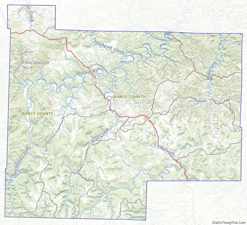
According to the U.S. Census Bureau, the county has a total area of 669 square miles (1,730 km), of which 666 square miles (1,720 km) is land and 2.4 square miles (6.2 km) (0.4%) is water.
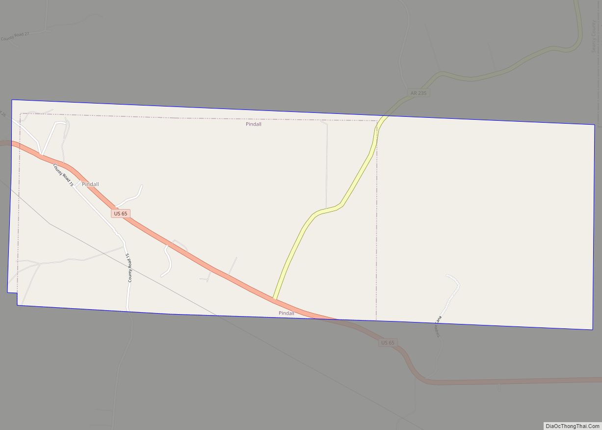
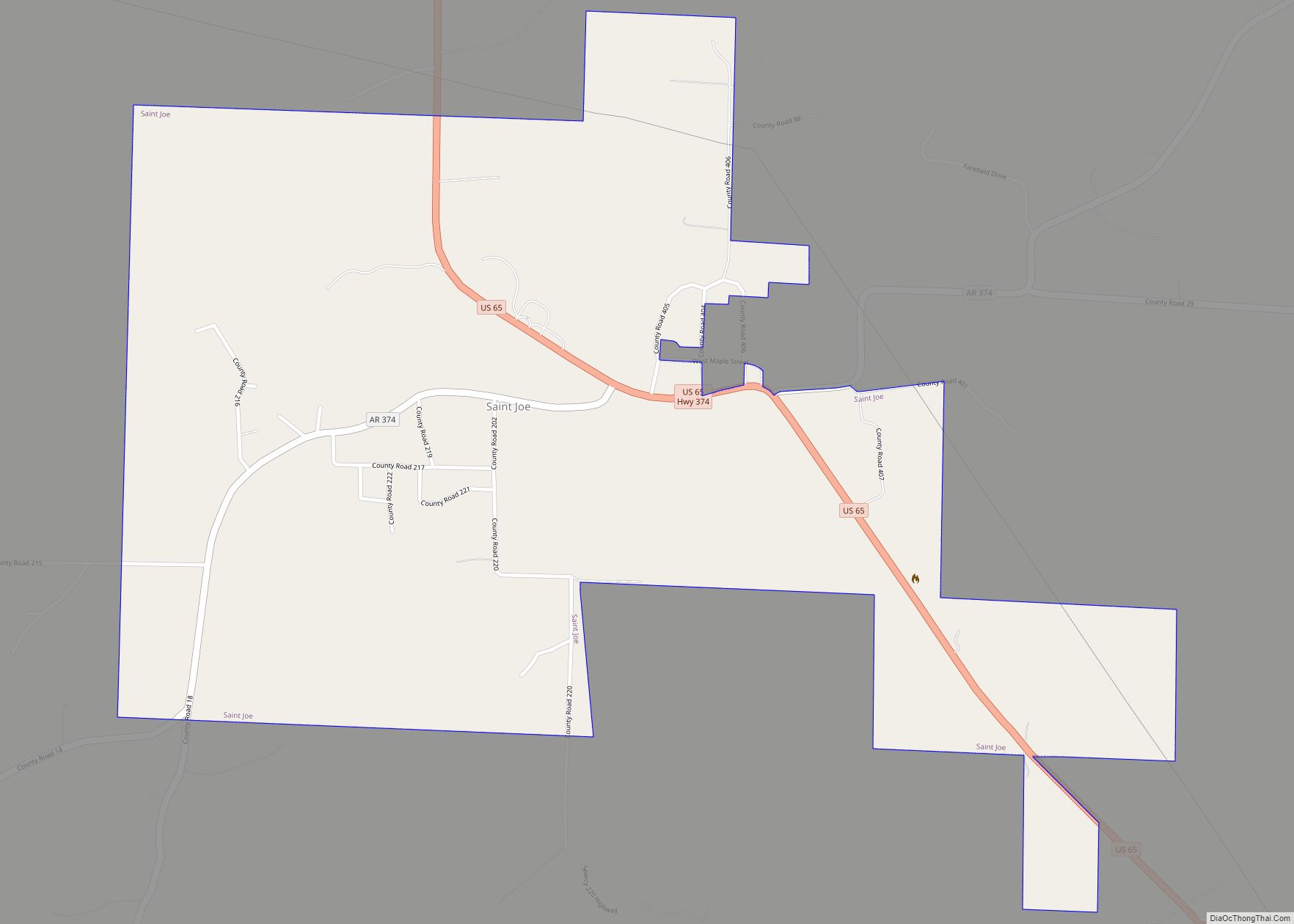
Major highways
- U.S. Highway 65
- Arkansas Highway 14
- Arkansas Highway 16
- Arkansas Highway 27
- Arkansas Highway 66
- Arkansas Highway 74
- Arkansas Highway 235
- Arkansas Highway 333
- Arkansas Highway 374
- Arkansas Highway 377
Adjacent counties
- Marion County (north)
- Baxter County (northeast)
- Stone County (east)
- Van Buren County (south)
- Pope County (southwest)
- Newton County (west)
- Boone County (northwest)
National protected areas
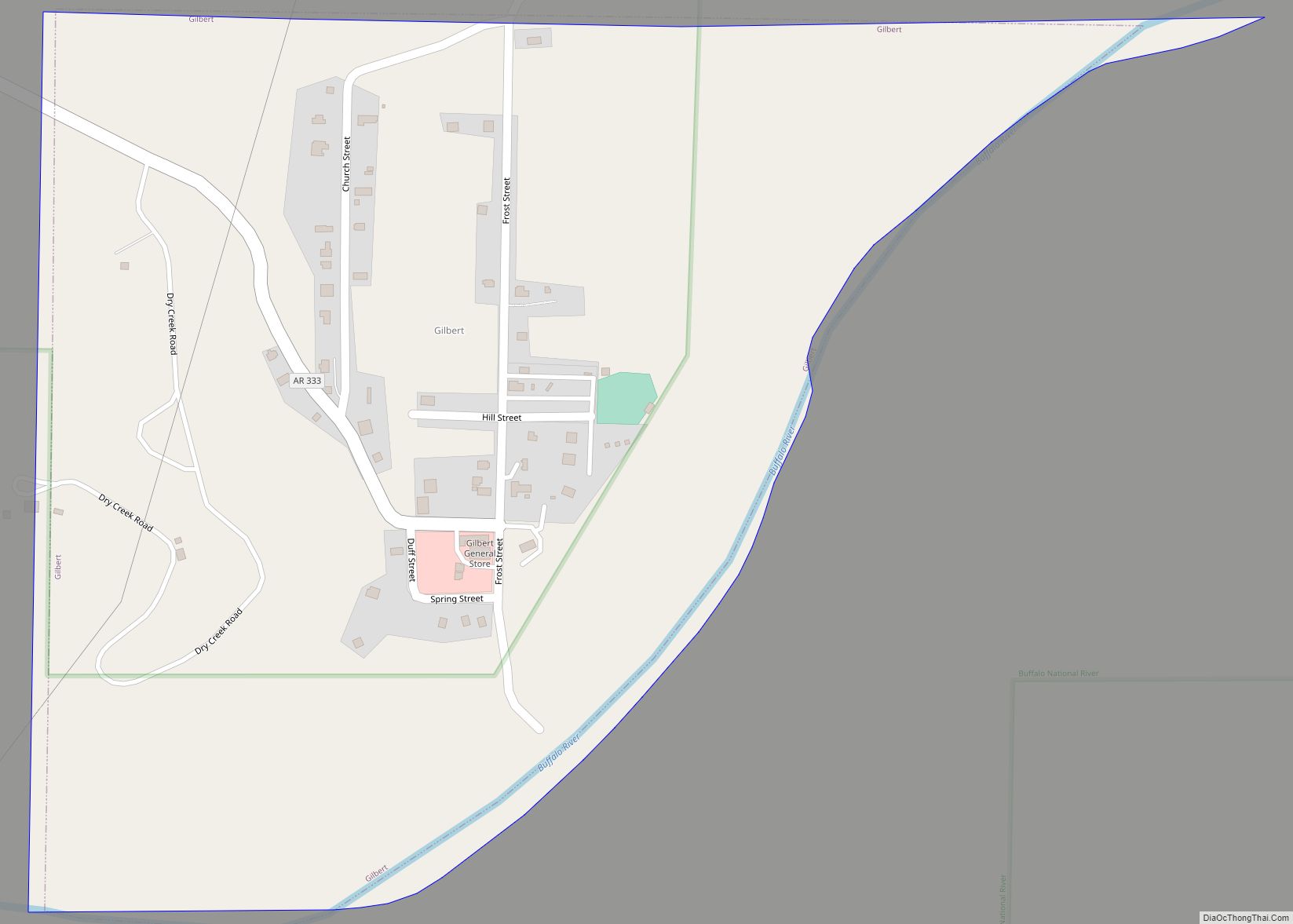
- Buffalo National River (part)
- Ozark National Forest (part)
Searcy County Topographic Map
Searcy County Satellite Map

Searcy County Outline Map