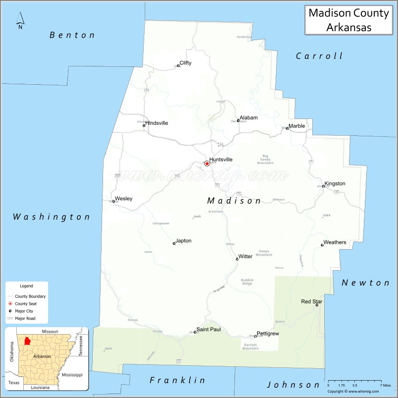
Madison County is a county located in the U.S. state of Arkansas. As of the 2020 census, the population was 16,521. The county seat is Huntsville. The county was formed on September 30, 1836, and named for Madison County, Alabama, the home of some early settlers. They also named the county seat after Madison County in Alabama’s county seat, Huntsville.
Madison County is part of the Northwest Arkansas region.
| Name: | Madison County |
|---|---|
| FIPS code: | 05-087 |
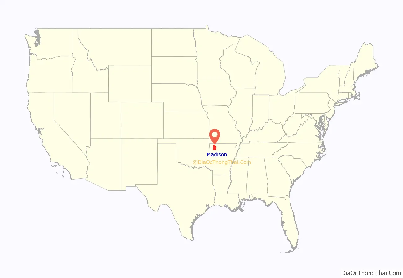
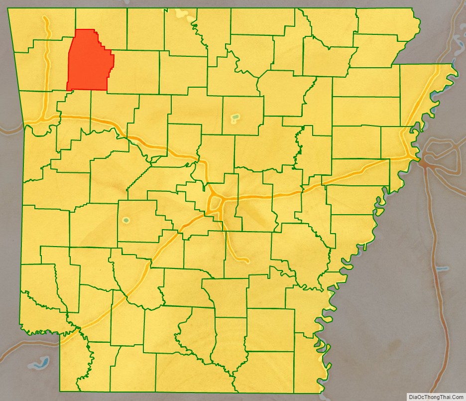
| State: | Arkansas |
| Founded: | September 30, 1836 |
| Named for: | Madison County, Alabama |
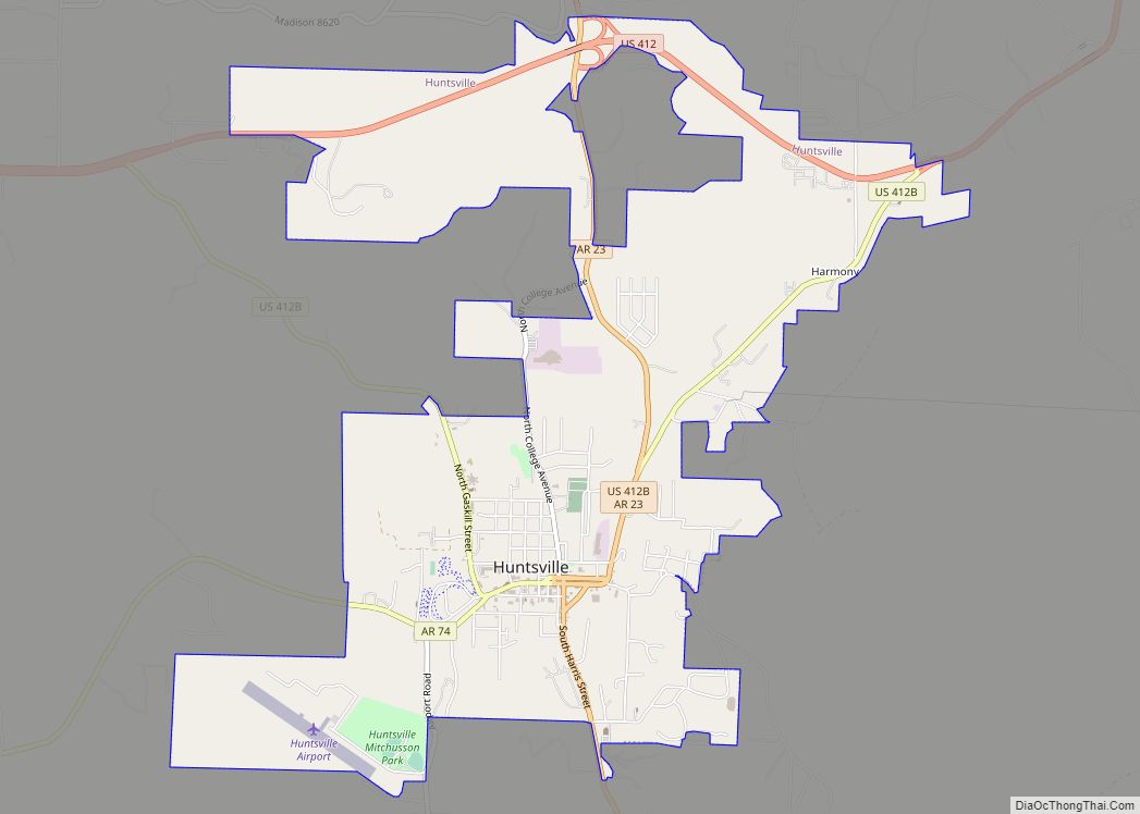
| Seat: | Huntsville |
| Largest city: | Huntsville |
| Total Area: | 837 sq mi (2,170 km²) |
| Land Area: | 834 sq mi (2,160 km²) |
| Total Population: | 16,521 |
| Population Density: | 20/sq mi (7.6/km²) |
| Time zone: | UTC−6 (Central) |
| Summer Time Zone (DST): | UTC−5 (CDT) |
| Website: | madisoncogov.com |
Madison County location map. Where is Madison County?
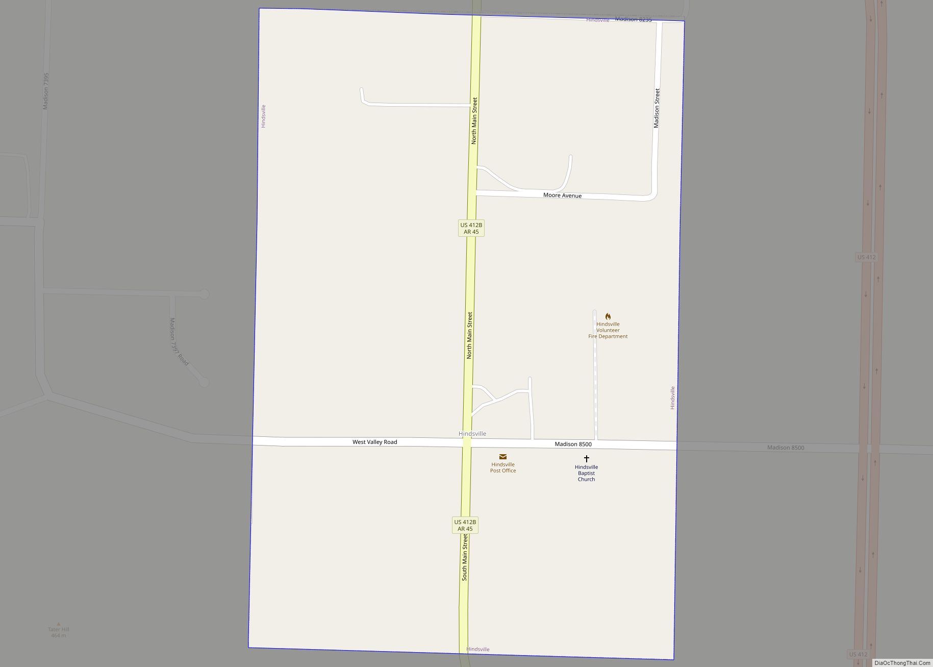
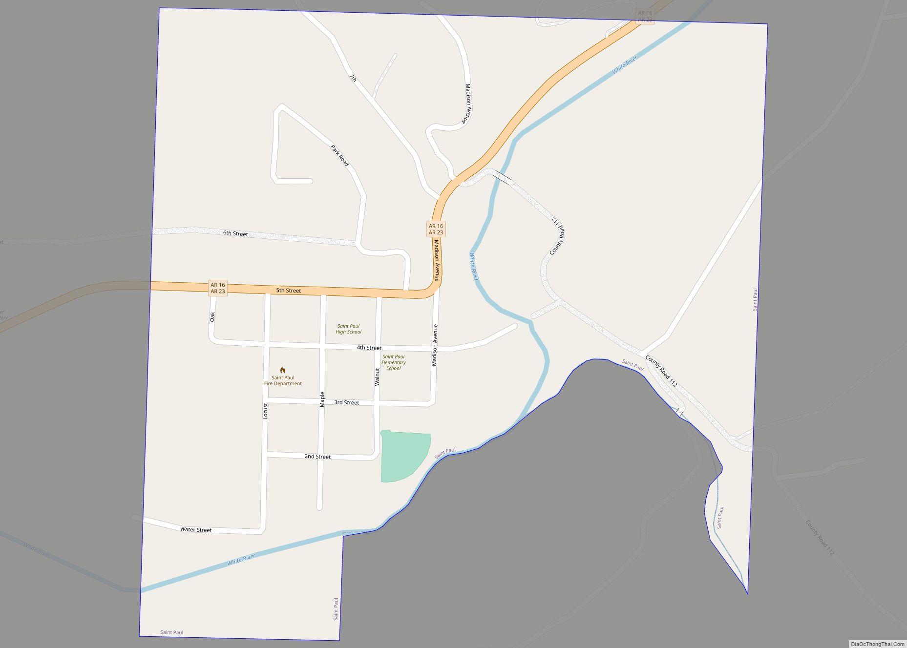
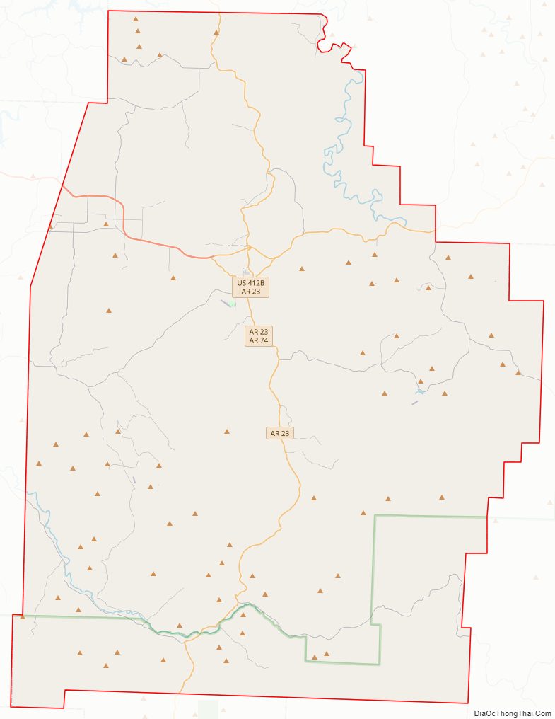
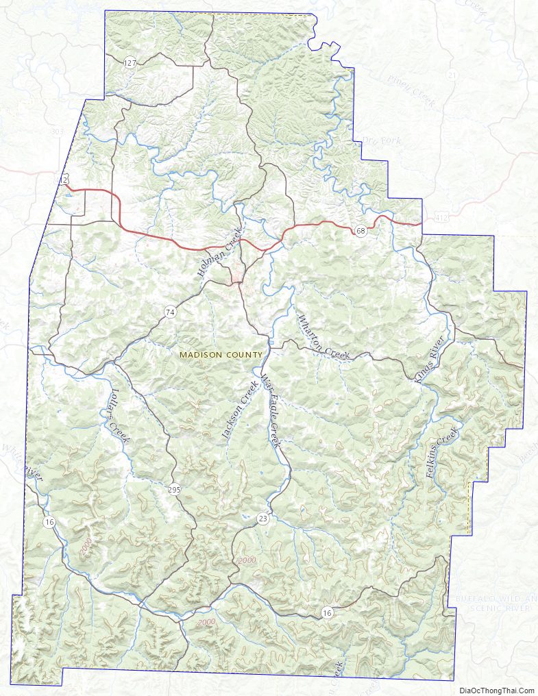
Madison County Road Map
Geography
According to the U.S. Census Bureau, the county has a total area of 837 square miles (2,170 km), of which 834 square miles (2,160 km) is land and 2.8 square miles (7.3 km) (0.3%) is water.
Adjacent counties
- Carroll County (north)
- Newton County (east)
- Johnson County (southeast)
- Franklin County (south)
- Crawford County (southwest)
- Washington County (west)
- Benton County (northwest)
National protected area
- Ozark National Forest (part)
Madison County Topographic Map
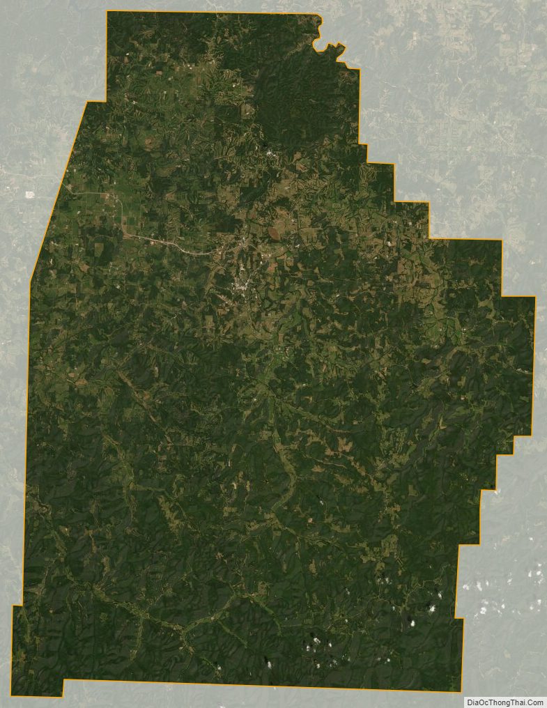
Madison County Satellite Map
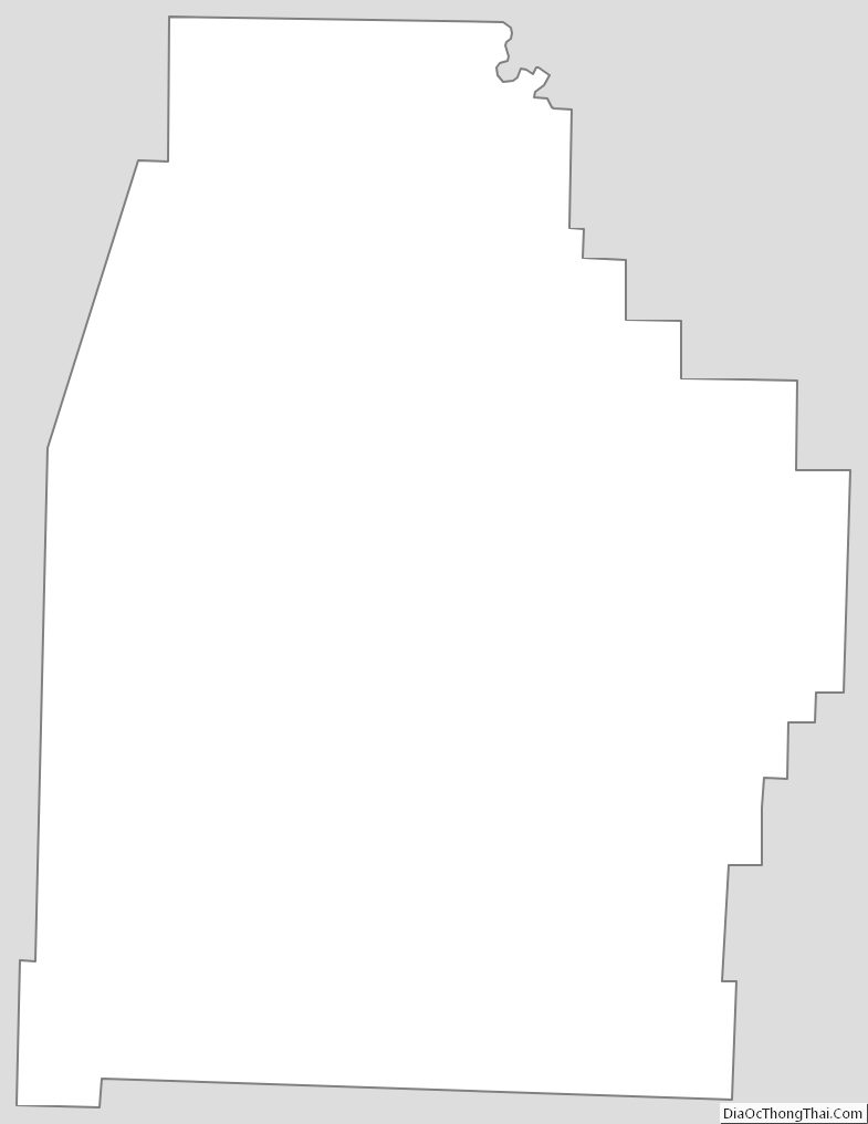
Madison County Outline Map