Newton County is a county located in the southwest portion of the U.S. state of Missouri. As of the 2010 census, the population was 58,114. Its county seat is Neosho. The county was organized in 1838 and is named in honor of John Newton, a hero who fought in the Revolutionary War.
Newton County is part of the Joplin, MO Metropolitan Statistical Area.
| Name: | Newton County |
|---|---|
| FIPS code: | 29-145 |
| State: | Missouri |
| Founded: | December 15, 1838 |
| Seat: | Neosho |
| Largest city: | Joplin |
| Total Area: | 627 sq mi (1,620 km²) |
| Land Area: | 625 sq mi (1,620 km²) |
| Total Population: | 58,114 |
| Population Density: | 93/sq mi (36/km²) |
| Time zone: | UTC−6 (Central) |
| Summer Time Zone (DST): | UTC−5 (CDT) |
| Website: | www.newtoncountymo.com |
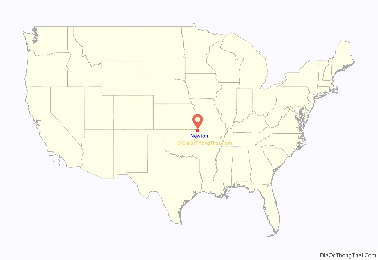
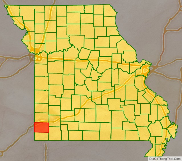
Newton County location map. Where is Newton County?
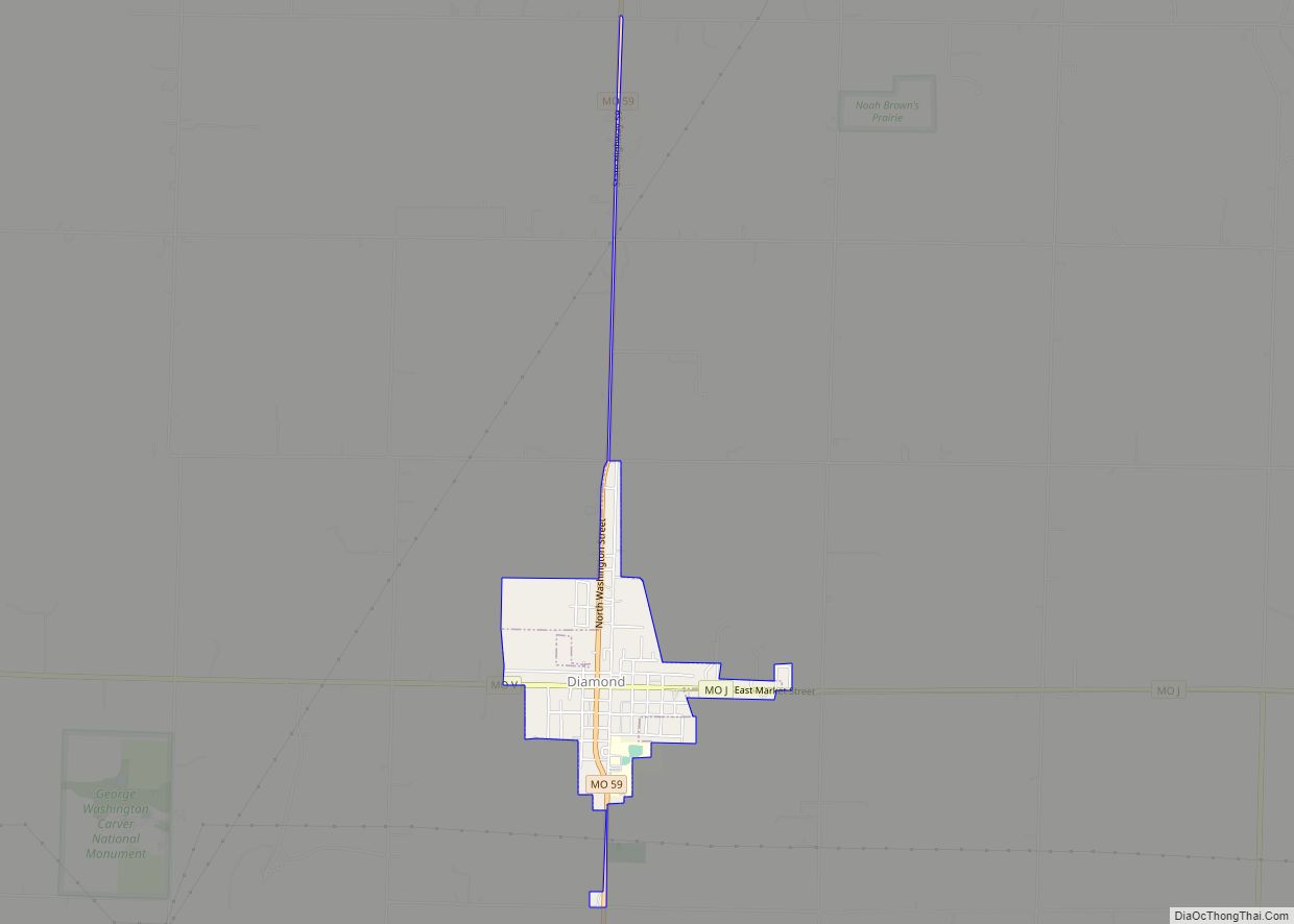
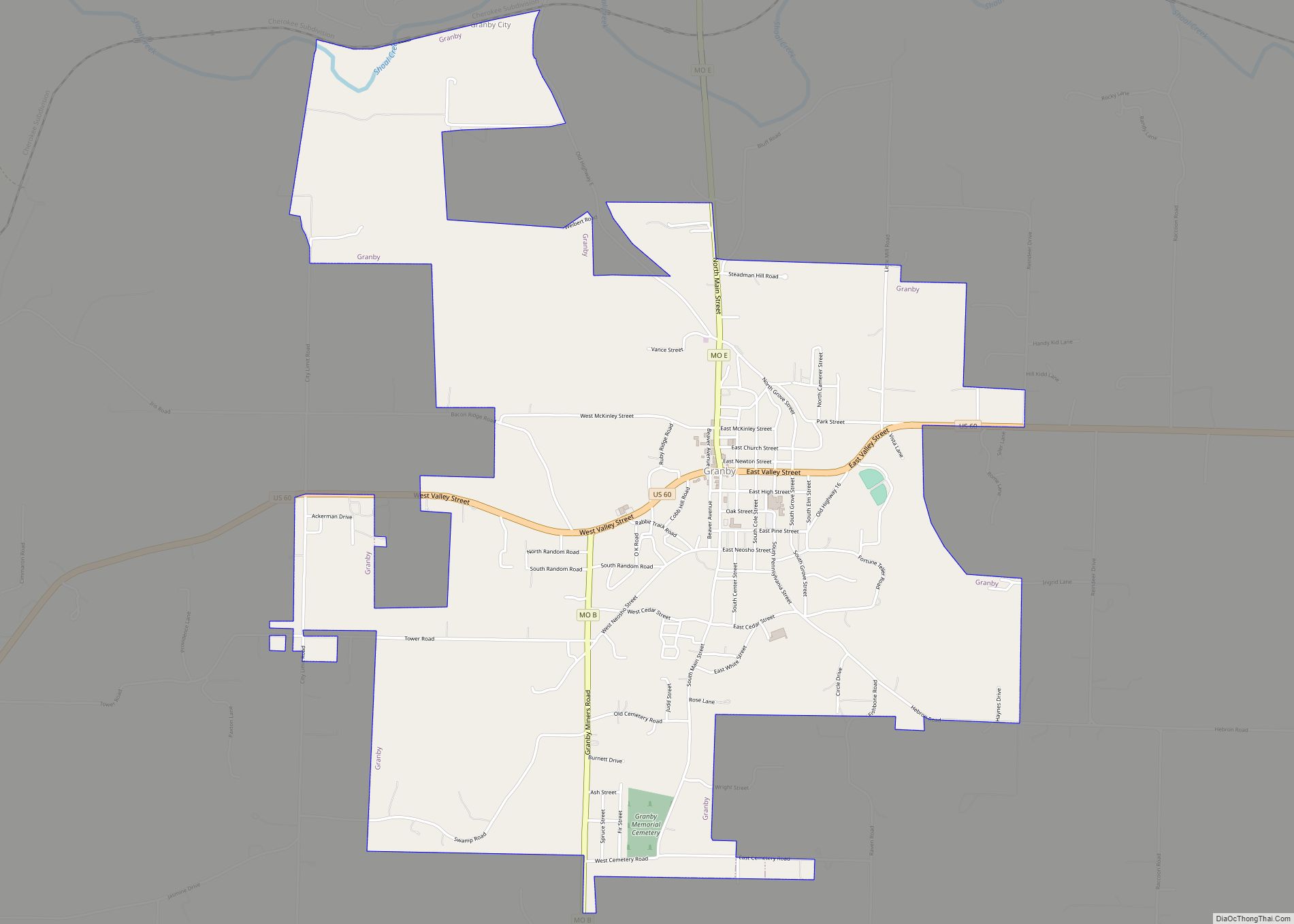
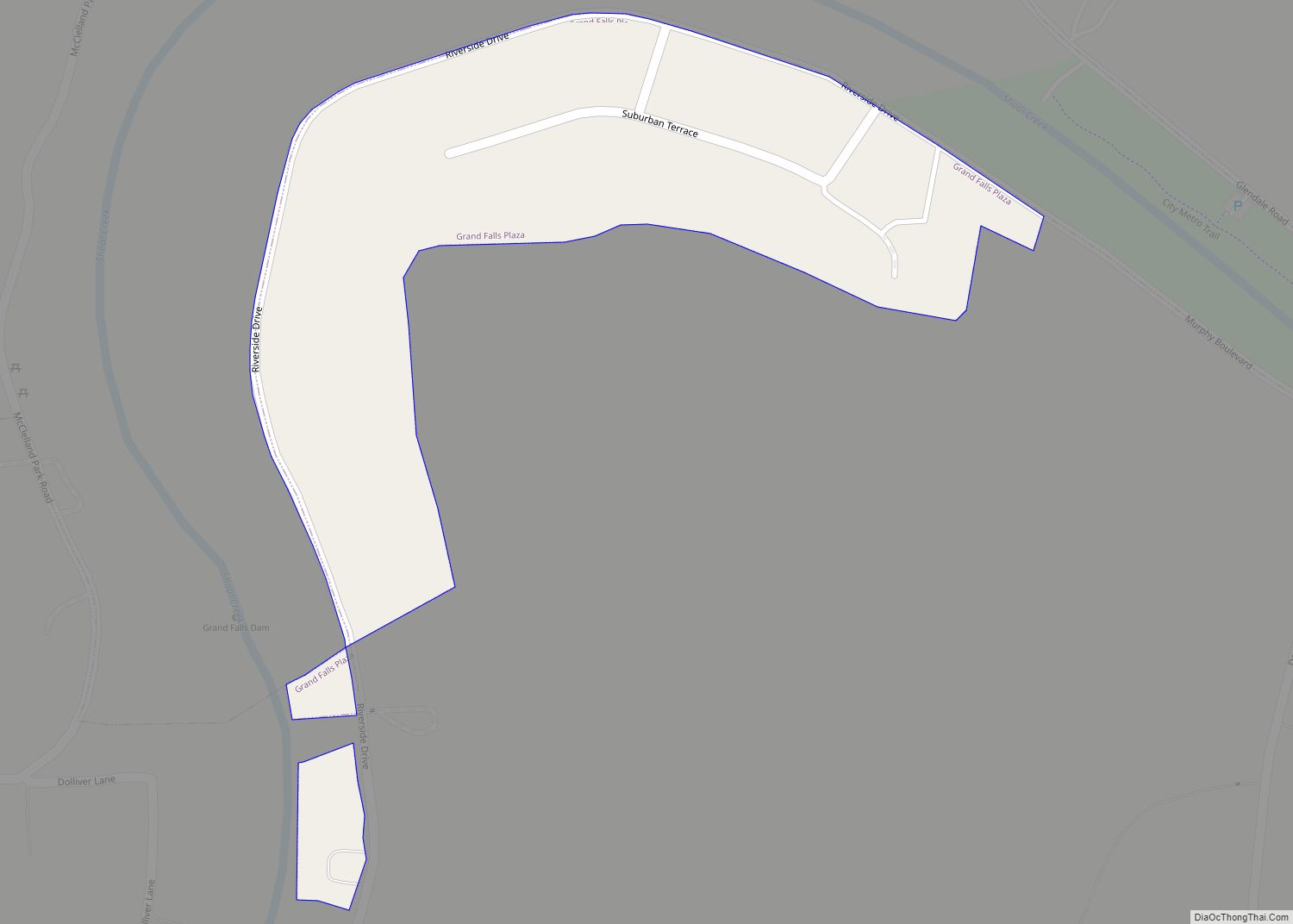
Newton County Road Map
Geography
According to the U.S. Census Bureau, the county has a total area of 627 square miles (1,620 km), of which 625 square miles (1,620 km) is land and 1.8 square miles (4.7 km) (0.3%) is water.
Adjacent counties
- Jasper County (north)
- Lawrence County (northeast)
- Barry County (southeast)
- McDonald County (south)
- Ottawa County, Oklahoma (west)
- Cherokee County, Kansas (northwest)
Rivers and creeks
Total river area: 361 acres (1.5 km); length: 70 miles (110 km)
Major highways
- Interstate 44
- Interstate 49
- U.S. Route 60
- U.S. Route 71
- Route 43
- Route 59
- Route 86
- Route 175
National protected area
- George Washington Carver National Monument
