Superior is a city in Nuckolls County, Nebraska, United States. As of the 2010 census, the city population was 1,957.
Superior bills itself as the “Victorian Capital of Nebraska”, and holds an annual Victorian Festival. The downtown area is listed in the National Register of Historic Places; along with many of the older houses in the city, it has been maintained or restored to its Victorian appearance.
| Name: | Superior city |
|---|---|
| LSAD Code: | 25 |
| LSAD Description: | city (suffix) |
| State: | Nebraska |
| County: | Nuckolls County |
| Incorporated: | 1879 |
| Elevation: | 1,598 ft (487 m) |
| Total Area: | 2.23 sq mi (5.78 km²) |
| Land Area: | 2.23 sq mi (5.78 km²) |
| Water Area: | 0.00 sq mi (0.00 km²) |
| Total Population: | 1,825 |
| Population Density: | 817.29/sq mi (315.62/km²) |
| ZIP code: | 68978 |
| Area code: | 402 |
| FIPS code: | 3147815 |
| GNISfeature ID: | 0833952 |
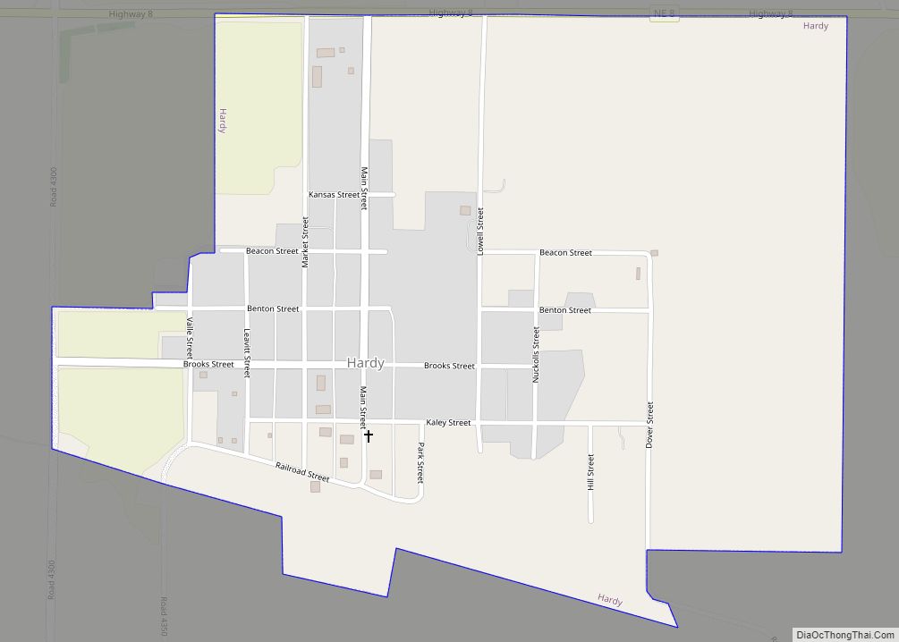
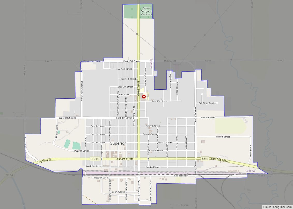
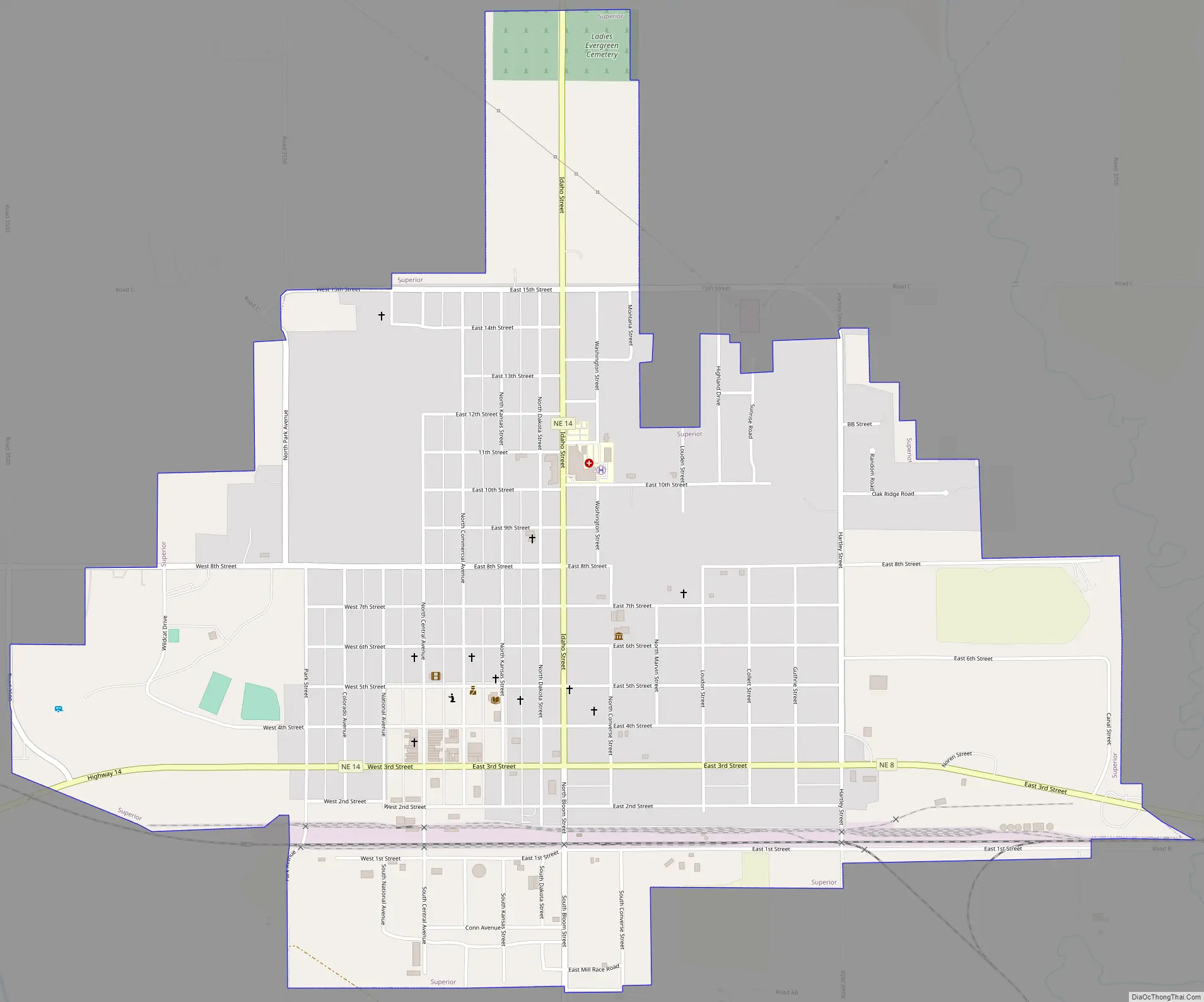
Online Interactive Map
Click on ![]() to view map in "full screen" mode.
to view map in "full screen" mode.
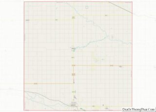
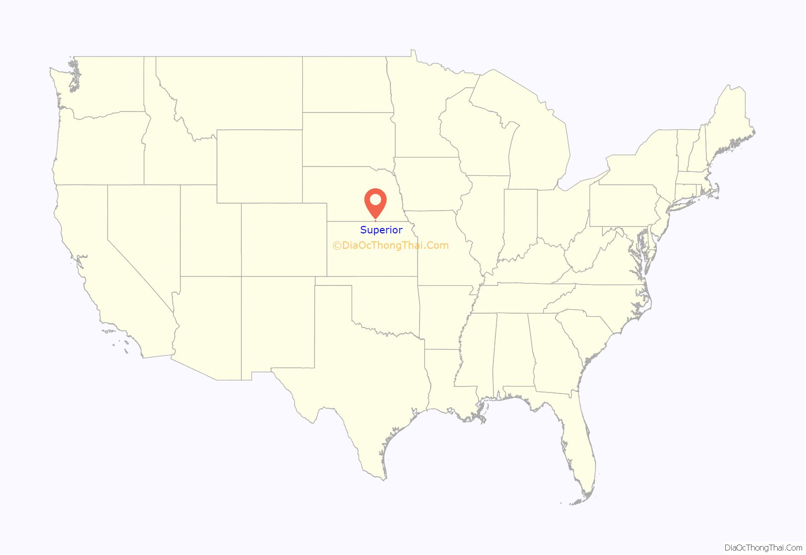
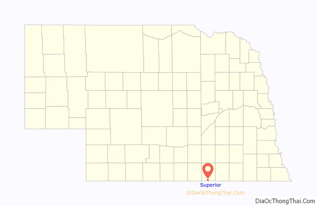
Superior location map. Where is Superior city?
History
19th century
Superior was platted in 1875. It was named from the quality of their land.
In 1887, Atchison, Topeka and Santa Fe Railway built a branch line from Neva (3 miles west of Strong City) to Superior. At some point, the line from Neva to Lost Springs was pulled but the right of way has not been abandoned. This branch line was originally called “Strong City and Superior line” but later the name was shortened to the “Strong City line”. In 1996, the Atchison, Topeka and Santa Fe Railway merged with Burlington Northern Railroad and renamed to the current BNSF Railway. Most locals still refer to this railroad as the “Santa Fe”.
20th century
Superior was one of the smallest cities in America that supported a professional minor league baseball team, the Superior Senators (1956–58) of the Nebraska State League. Superior was the first professional stop in the career of pitcher Jim Kaat, who went on to win 283 games in a 24-year Major League career.
21st century
In October 2021, a local grain elevator was the site of a workplace shooting, in which two employees were killed and another person injured. The shooter, identified as an employee of the grain elevator who was fired earlier that day, was then killed by another employee who retrieved a shotgun from an office and shot him.
Superior Road Map
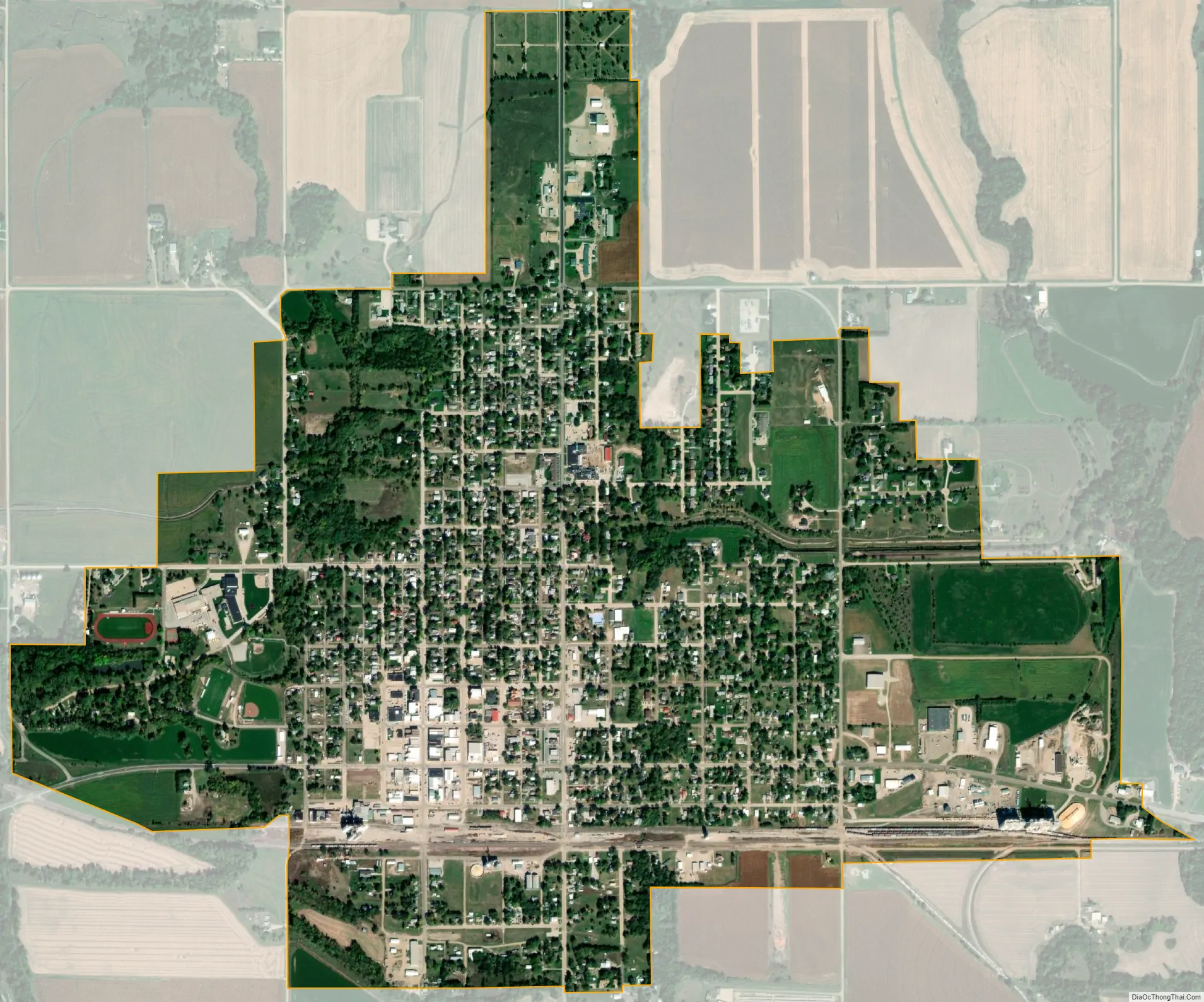
Superior city Satellite Map
Geography
Superior is located at 40°1′21″N 98°4′1″W / 40.02250°N 98.06694°W / 40.02250; -98.06694 (40.022415, -98.067010). According to the United States Census Bureau, the city has a total area of 1.89 square miles (4.90 km), all land.
Climate
See also
Map of Nebraska State and its subdivision:- Adams
- Antelope
- Arthur
- Banner
- Blaine
- Boone
- Box Butte
- Boyd
- Brown
- Buffalo
- Burt
- Butler
- Cass
- Cedar
- Chase
- Cherry
- Cheyenne
- Clay
- Colfax
- Cuming
- Custer
- Dakota
- Dawes
- Dawson
- Deuel
- Dixon
- Dodge
- Douglas
- Dundy
- Fillmore
- Franklin
- Frontier
- Furnas
- Gage
- Garden
- Garfield
- Gosper
- Grant
- Greeley
- Hall
- Hamilton
- Harlan
- Hayes
- Hitchcock
- Holt
- Hooker
- Howard
- Jefferson
- Johnson
- Kearney
- Keith
- Keya Paha
- Kimball
- Knox
- Lancaster
- Lincoln
- Logan
- Loup
- Madison
- McPherson
- Merrick
- Morrill
- Nance
- Nemaha
- Nuckolls
- Otoe
- Pawnee
- Perkins
- Phelps
- Pierce
- Platte
- Polk
- Red Willow
- Richardson
- Rock
- Saline
- Sarpy
- Saunders
- Scotts Bluff
- Seward
- Sheridan
- Sherman
- Sioux
- Stanton
- Thayer
- Thomas
- Thurston
- Valley
- Washington
- Wayne
- Webster
- Wheeler
- York
- Alabama
- Alaska
- Arizona
- Arkansas
- California
- Colorado
- Connecticut
- Delaware
- District of Columbia
- Florida
- Georgia
- Hawaii
- Idaho
- Illinois
- Indiana
- Iowa
- Kansas
- Kentucky
- Louisiana
- Maine
- Maryland
- Massachusetts
- Michigan
- Minnesota
- Mississippi
- Missouri
- Montana
- Nebraska
- Nevada
- New Hampshire
- New Jersey
- New Mexico
- New York
- North Carolina
- North Dakota
- Ohio
- Oklahoma
- Oregon
- Pennsylvania
- Rhode Island
- South Carolina
- South Dakota
- Tennessee
- Texas
- Utah
- Vermont
- Virginia
- Washington
- West Virginia
- Wisconsin
- Wyoming