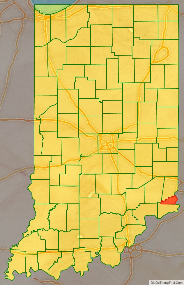
Ohio County is a county located in southeastern Indiana. With a 2020 population of 5,940, and an area of just 87 square miles, Ohio County is the smallest county in Indiana by area and the least populous. The county seat and only incorporated municipality is Rising Sun. The county was officially established in 1844 and was one of the last Indiana counties to be created. Ohio County borders the state of Kentucky across the Ohio River for which it was named. It is part of the Cincinnati, OH-KY-IN Metropolitan Statistical Area. The county is divided into four townships which provide local services. Three state roads pass through or into the county.
| Name: | Ohio County |
|---|---|
| FIPS code: | 18-115 |
| State: | Indiana |
| Founded: | 1844 |
| Named for: | Ohio River |
| Seat: | Rising Sun |
| Largest city: | Rising Sun |
| Total Area: | 87.43 sq mi (226.4 km²) |
| Land Area: | 86.14 sq mi (223.1 km²) |
| Total Population: | 5,940 |
| Population Density: | 67/sq mi (26/km²) |
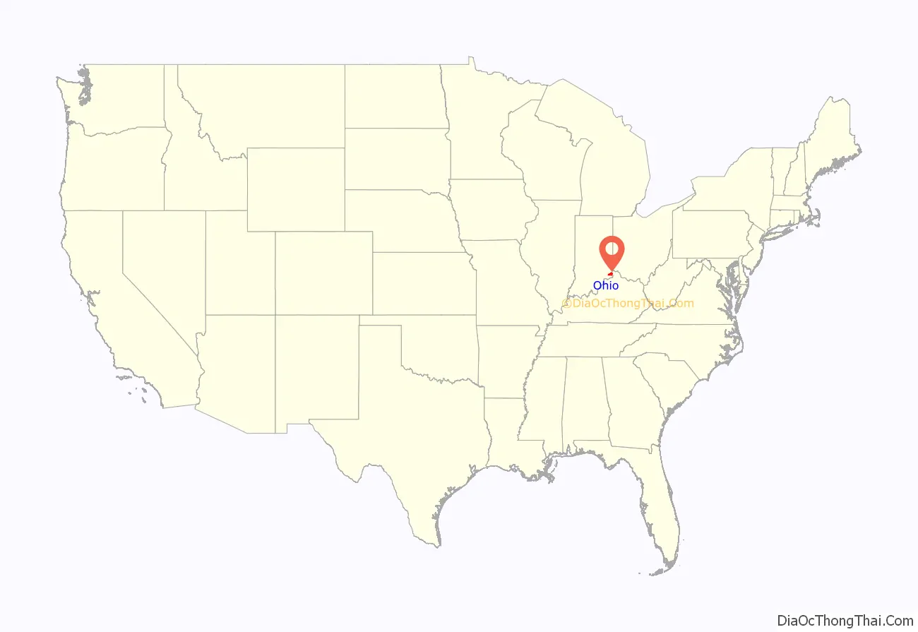
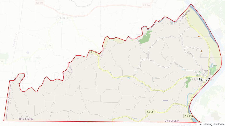
Ohio County location map. Where is Ohio County?
History
Dearborn County was formed from Indiana Territory in 1803, and its borders were modified several times, both before and after the creation of the state of Indiana in 1816. Ohio County was created out of Dearborn County, authorized by legislative action effective January 4, 1844 to resolve a dispute of county seat between Rising Sun and Lawrenceburg. It was named for the Ohio River, which defines its eastern border.
The Ohio County courthouse was built in the county seat of Rising Sun in 1845. It is a two-story Greek Revival brick building measuring about 60 feet (18 m) by 40 feet (12 m), including the portico supported by Doric pillars. This courthouse is still in use and is the oldest continuously used courthouse in the state.
Ohio County Road Map
Geography
According to the 2010 census, the county has a total area of 87.43 square miles (226.4 km), of which 86.14 square miles (223.1 km) (or 98.52%) is land and 1.29 square miles (3.3 km) (or 1.48%) is water.
Adjacent counties
- Boone County, Kentucky – east
- Dearborn County – north
- Ripley County – northwest
- Switzerland County – south
Communities
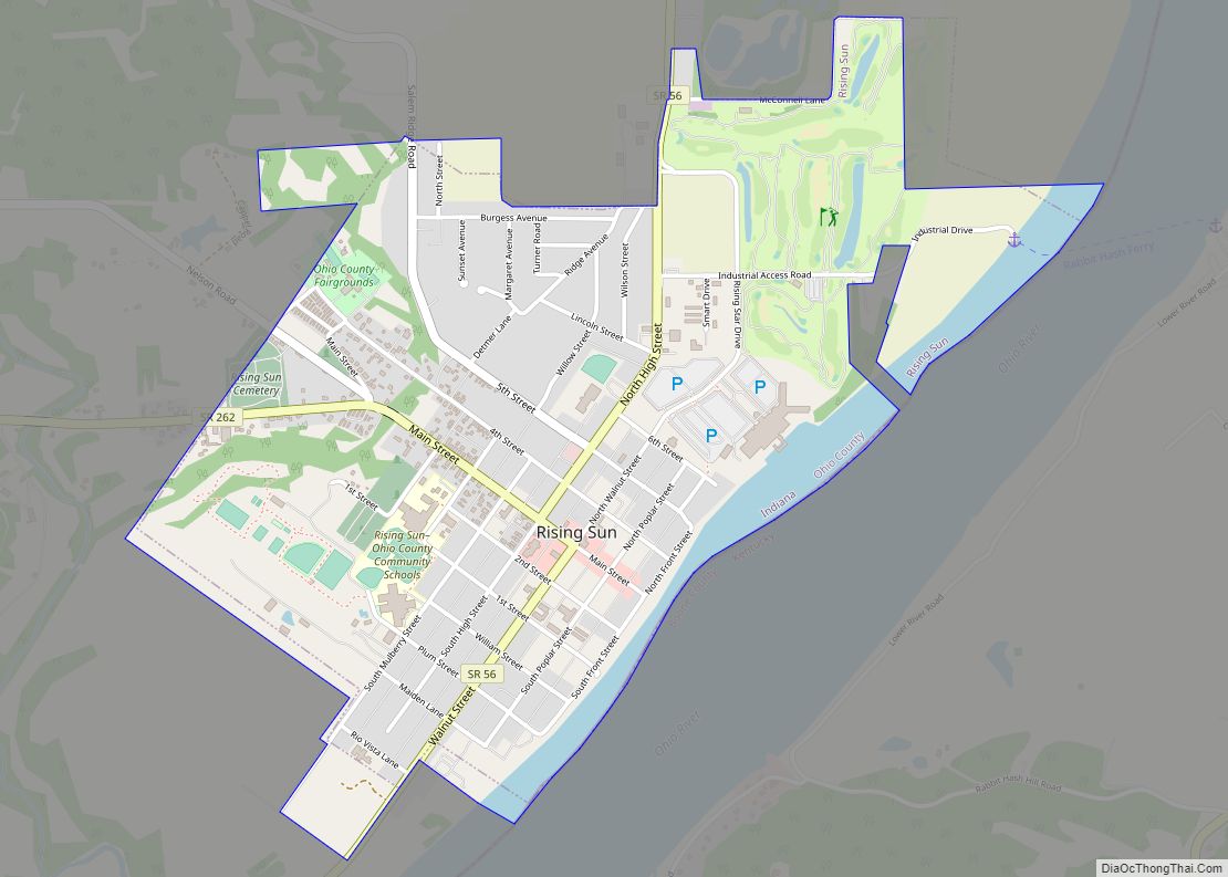
- Rising Sun – on the banks of the Ohio River
- Aberdeen
- Bascom Corner
- Bear Branch
- Blue
- Buffalo
- Camp Shore
- Cofield Corner
- Downey Corner
- Hartford
- Milton
- North Landing
Townships
- Cass
- Pike
- Randolph
- Union
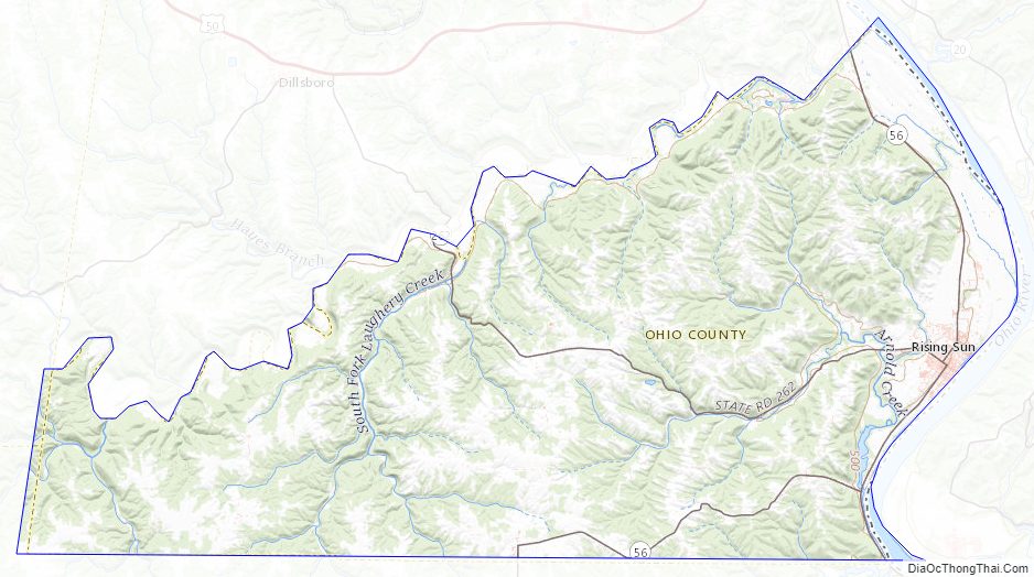
Ohio County Topographic Map
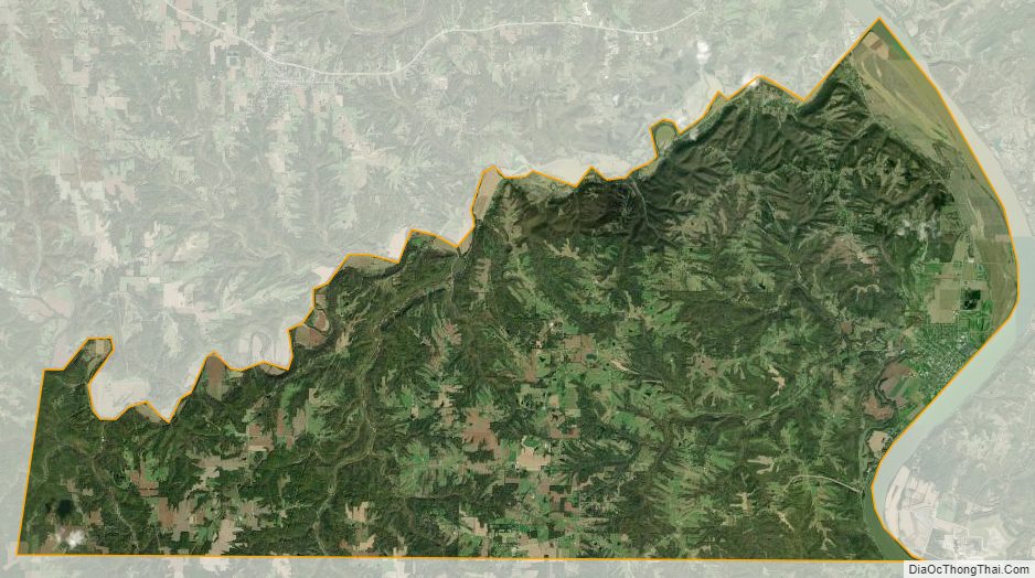
Ohio County Satellite Map
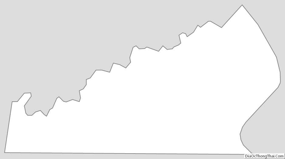
Ohio County Outline Map