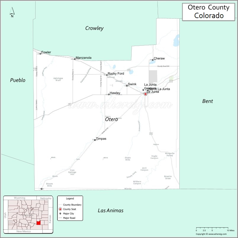
| Name: | Otero County |
|---|---|
| FIPS code: | 08-089 |
| State: | Colorado |
| Founded: | March 25, 1889 |
| Named for: | Miguel Antonio Otero |
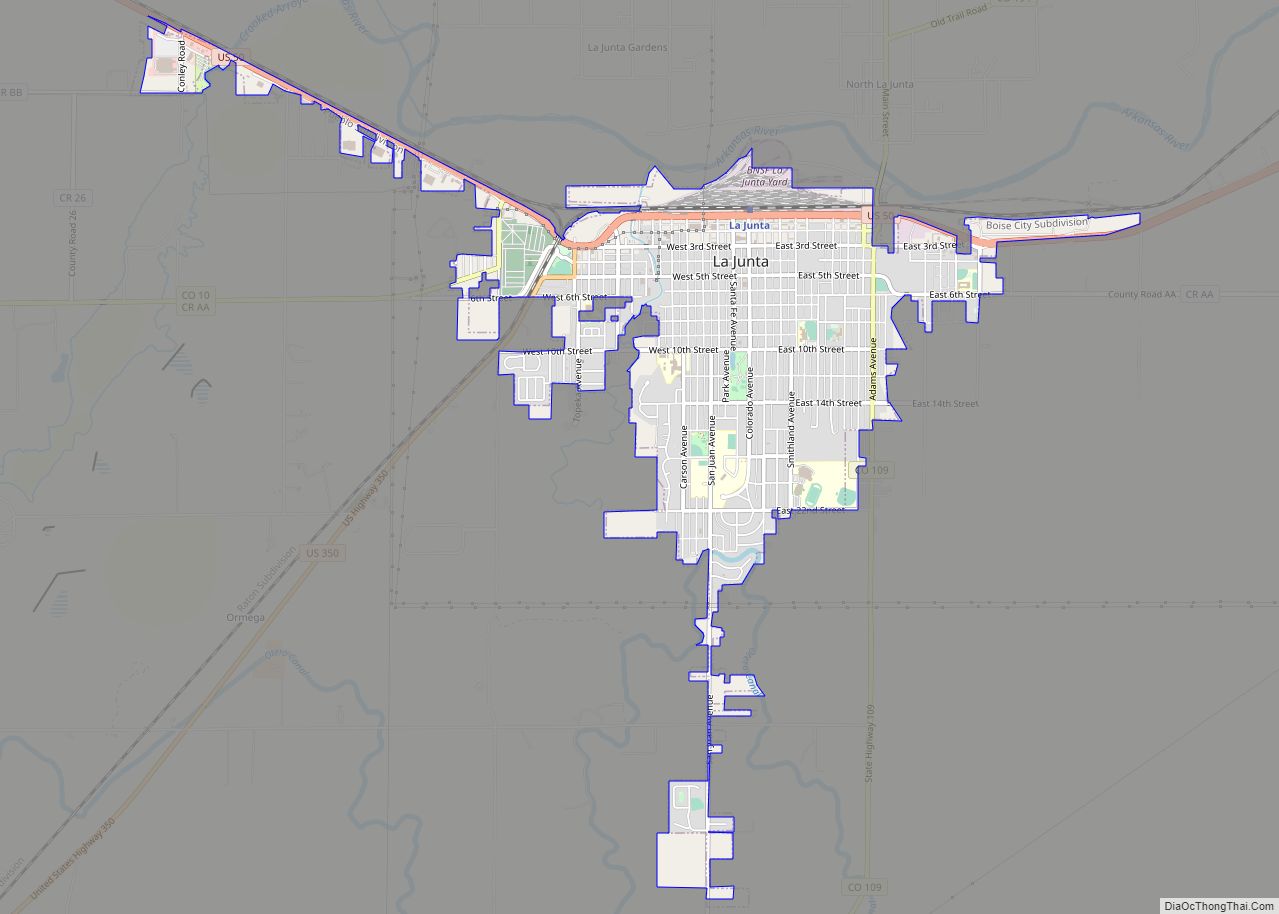
| Seat: | La Junta |
| Largest city: | La Junta |
| Total Area: | 1,270 sq mi (3,300 km²) |
| Land Area: | 1,262 sq mi (3,270 km²) |
| Total Population: | 18,594 |
| Population Density: | 15/sq mi (6/km²) |
| Time zone: | UTC−7 (Mountain) |
| Summer Time Zone (DST): | UTC−6 (MDT) |
| Website: | oterocounty.colorado.gov |
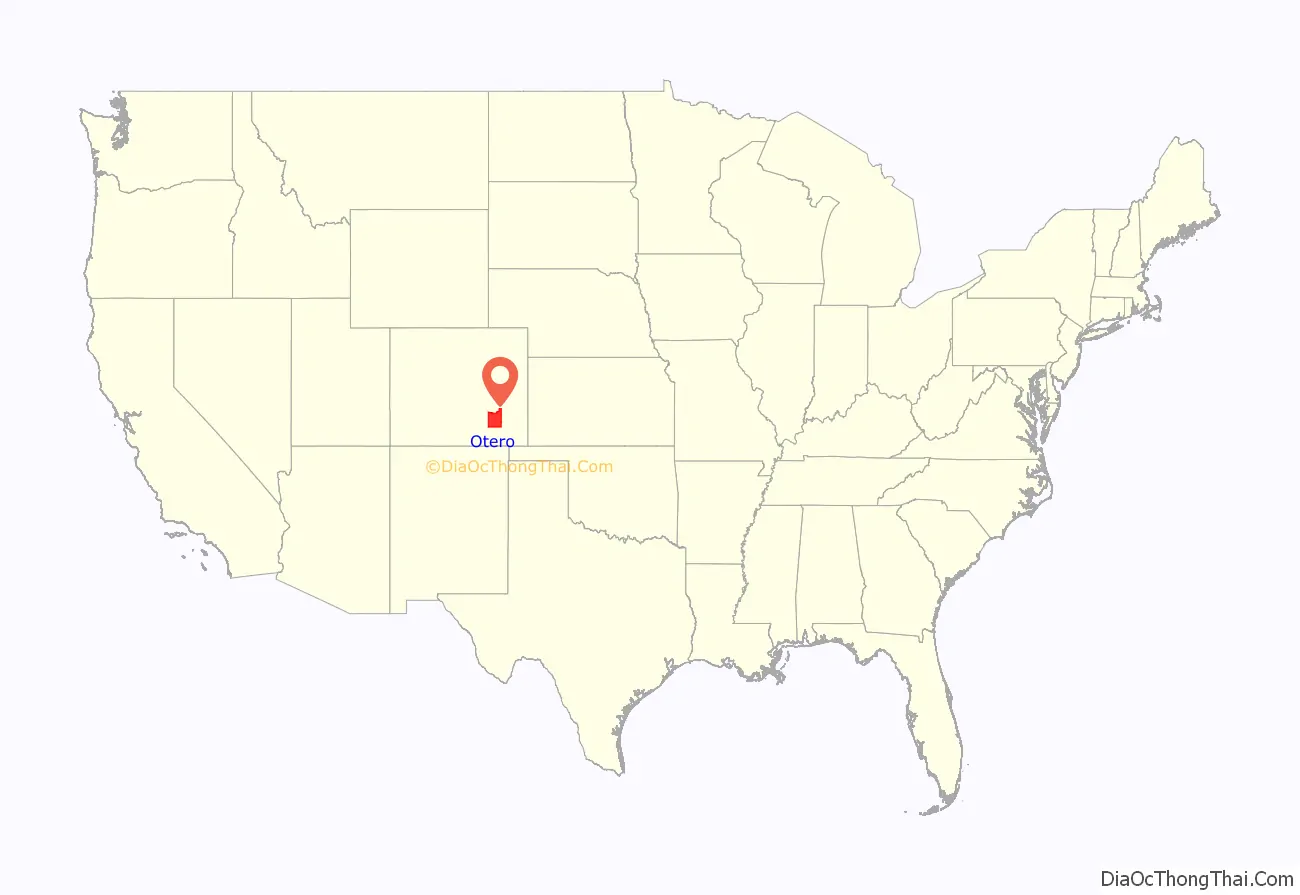
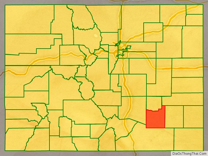
Otero County location map. Where is Otero County?
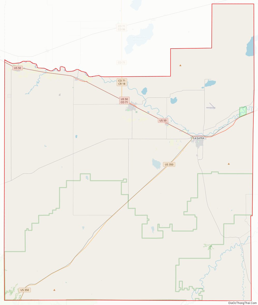
Otero County Road Map
Geography
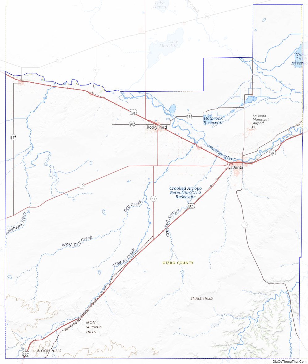
According to the U.S. Census Bureau, the county has a total area of 1,270 square miles (3,300 km), of which 1,262 square miles (3,270 km) is land and 7.7 square miles (20 km) (0.6%) is water.
Adjacent counties
- Crowley County – north
- Kiowa County – northeast
- Bent County – east
- Las Animas County – south
- Pueblo County – west
Major Highways
- U.S. Highway 50
- U.S. Highway 350
- State Highway 10
- State Highway 71
- State Highway 109
- State Highway 167
- State Highway 207
- State Highway 266
National protected areas
- Bent’s Old Fort National Historic Site
- Comanche National Grassland
- Santa Fe National Historic Trail
Trails and byways
- American Discovery Trail
- Santa Fe Trail National Scenic Byway
Otero County Topographic Map
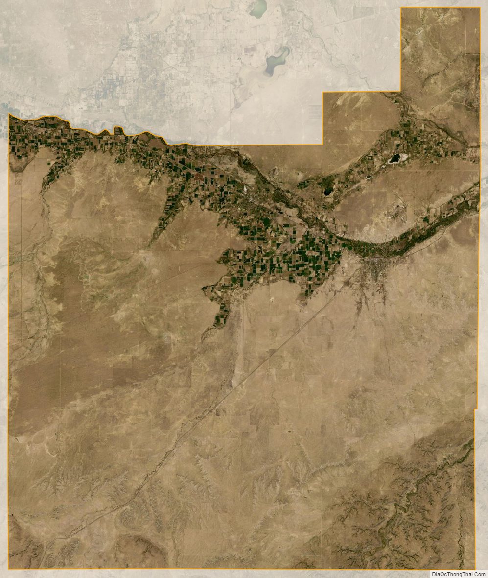
Otero County Satellite Map
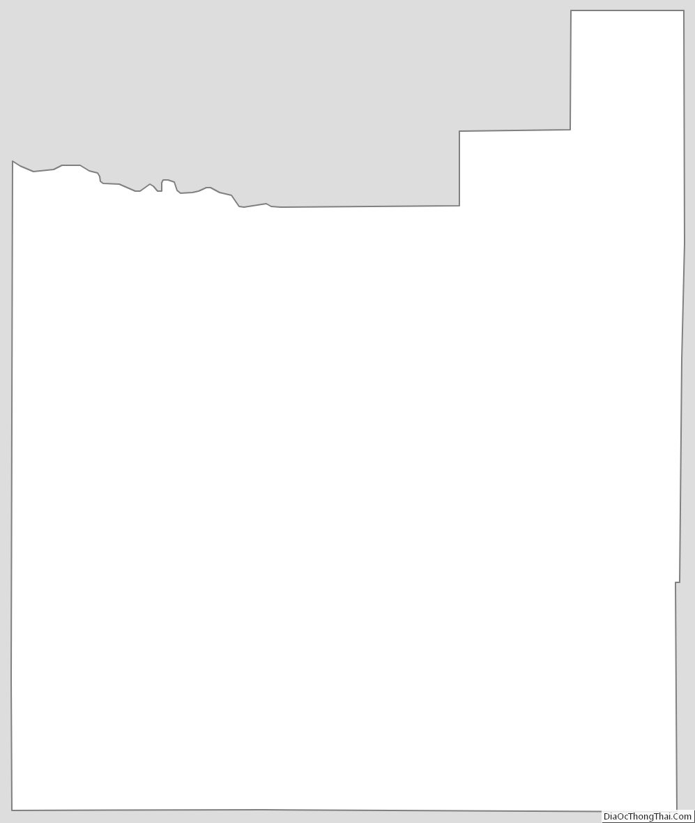
Otero County Outline Map