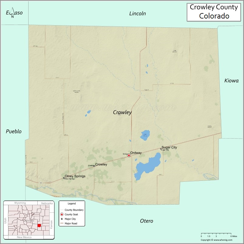
Crowley County is a county located in the U.S. state of Colorado. As of the 2020 census, the population was 5,922. The county seat is Ordway.
| Name: | Crowley County |
|---|---|
| FIPS code: | 08-025 |
| State: | Colorado |
| Founded: | May 29, 1911 |
| Named for: | John H. Crowley |
| Seat: | Ordway |
| Largest town: | Ordway |
| Total Area: | 800 sq mi (2,000 km²) |
| Land Area: | 787 sq mi (2,040 km²) |
| Total Population: | 6,012 |
| Population Density: | 7.5/sq mi (2.9/km²) |
| Time zone: | UTC−7 (Mountain) |
| Summer Time Zone (DST): | UTC−6 (MDT) |
| Website: | crowleycounty.colorado.gov |
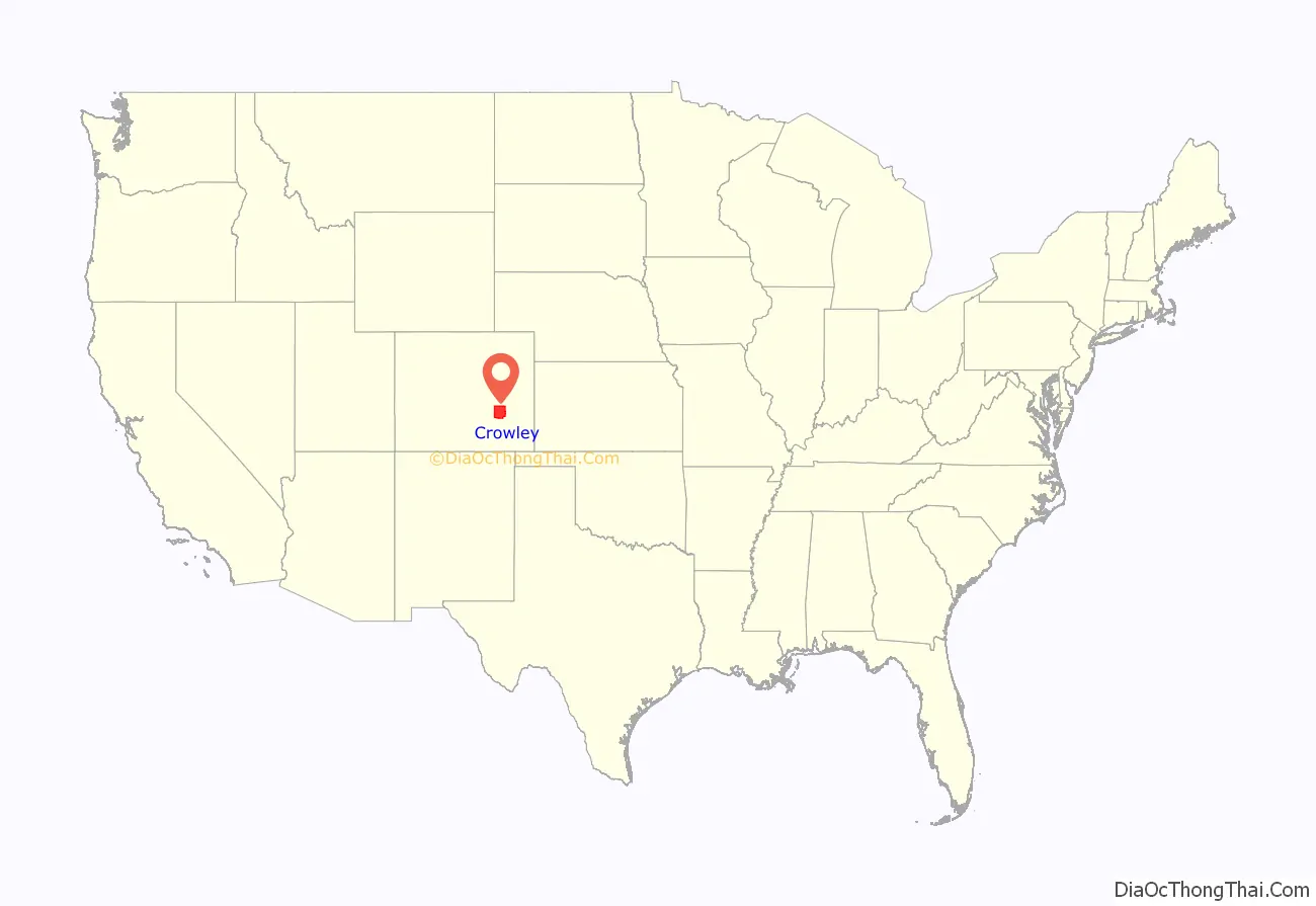
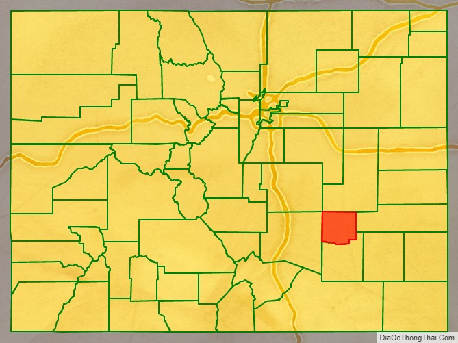
Crowley County location map. Where is Crowley County?
History
Crowley County was created by the Colorado legislature on May 29, 1911, out of the northern portions of Otero County. Previously both were parts of Bent County. The county was named for John H. Crowley, senator from Otero County to the state legislature at the time of the split. Its original inhabitants decades earlier were Native Americans, more Cheyenne than other tribes at the time the western expansion of the U.S. arrived.
The first significant development and settlement occurred in 1887 when the Missouri Pacific Railroad came through from the east, on its way to Pueblo and Colorado’s rich gold fields of “Pikes Peak Or Bust”.
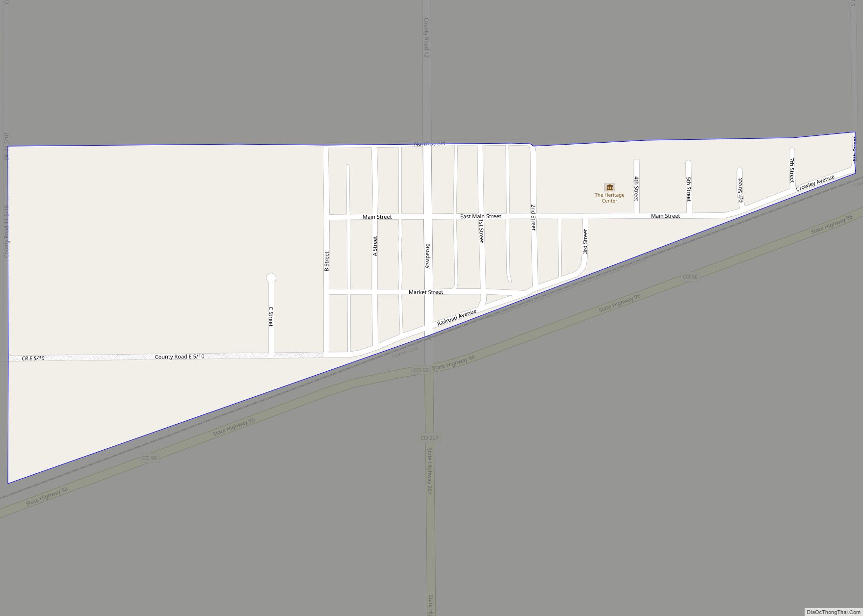
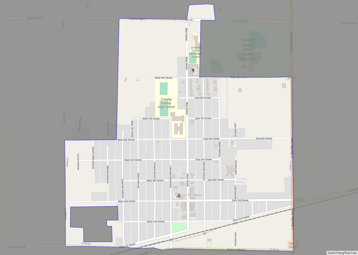
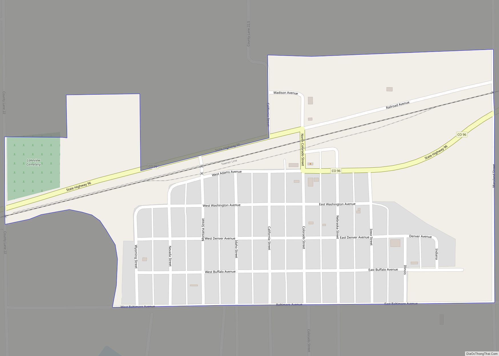
The county seat is in Ordway, a town established in 1890 that quickly became the economic hub of the area. Other towns still existing along the Missouri Pacific Railroad’s route are Sugar City, Crowley, and Olney Springs.
A few years later, developers brought a canal east from the Arkansas River, with ambitious plans to irrigate a million acres (4000 km) in Kansas; instead, the canal petered out in Crowley County but did irrigate 57,000 acres (230 km) along its length. This turned early Crowley County into a lush agricultural mecca at first.
By the 1970s almost all the water rights were sold from what is now called the Twin Lakes Canal to the fast-growing cities of Colorado’s Front Range corridor. The area’s economic activity has shifted toward ranching. Much of the land has returned to its original sparse prairie grassland conditions.
The Crowley School, which is now the Crowley County Heritage Center, is the county’s only historic site listed on the U.S. National Register of Historic Places.
Crowley County also today hosts a state prison. The 2000 census showed 5,518 county residents, of which 1,955 were prisoners, giving Crowley County the highest percentage of incarcerated prisoners of any county in the U.S. The county maintained this position in the 2010 census, with 2,682 prisoners out of 5,823 residents.
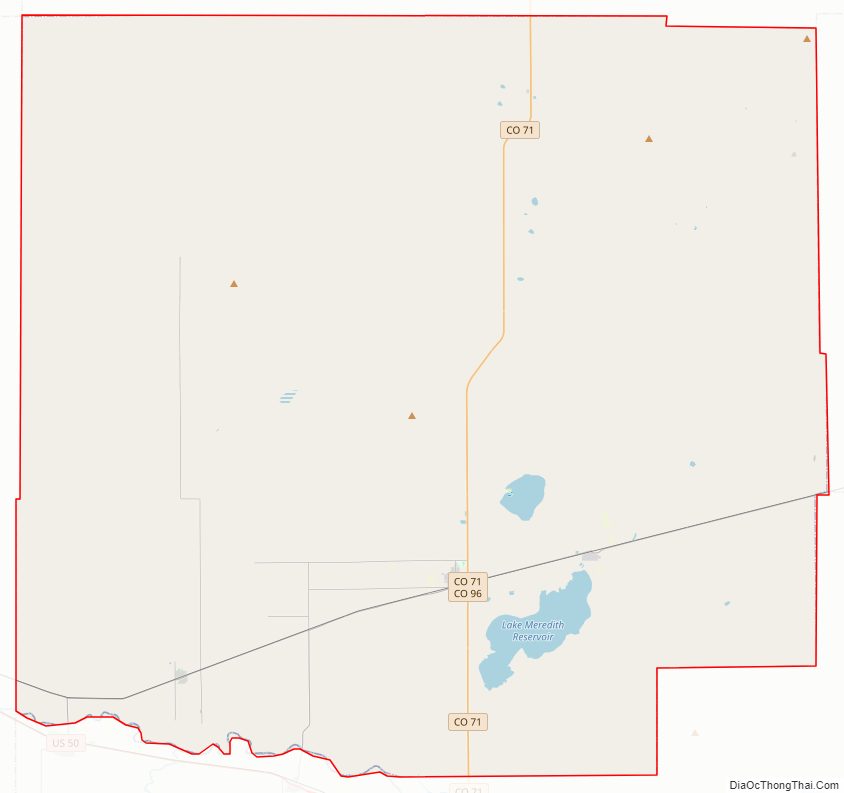
Crowley County Road Map
Geography
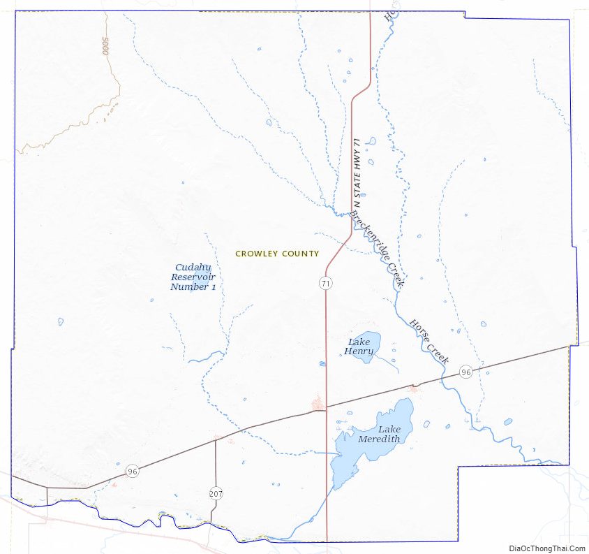
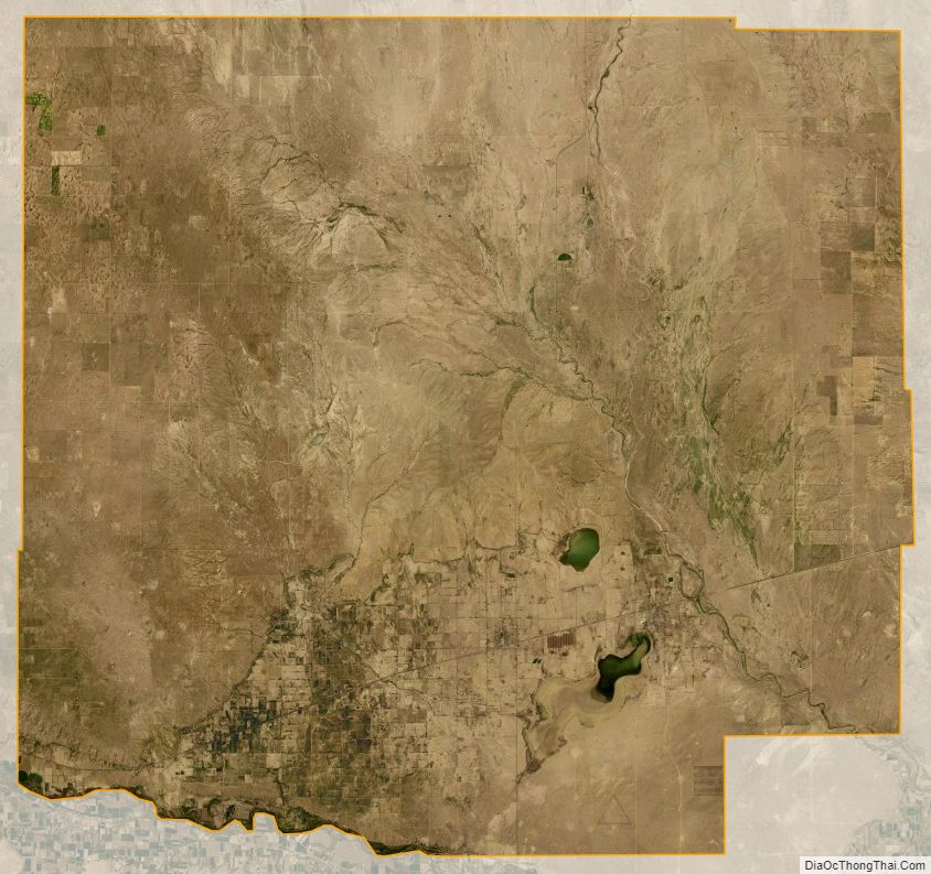
According to the U.S. Census Bureau, the county has a total area of 800 square miles (2,100 km), of which 787 square miles (2,040 km) is land and 13 square miles (34 km) (1.6%) is water. Lake Meredith, which lies south of Ordway and Sugar City, is the largest of several lakes in the county.
Adjacent counties
- Lincoln County – north
- El Paso County – northwest
- Otero County – south
- Kiowa County – east
- Pueblo County – west
Major Highways
- State Highway 71
- State Highway 96
- State Highway 167
- State Highway 207
Bicycle trail
- TransAmerica Trail Bicycle Route
Crowley County Topographic Map
Crowley County Satellite Map
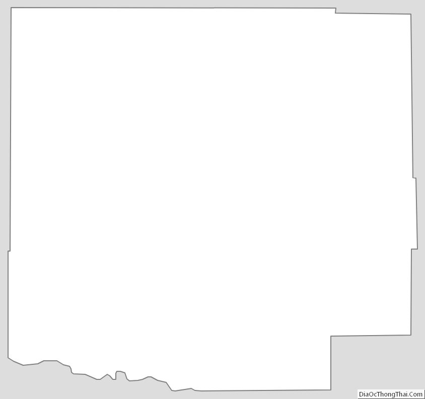
Crowley County Outline Map