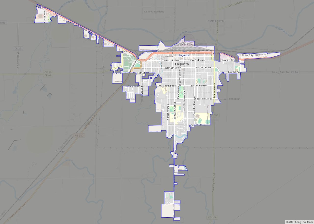
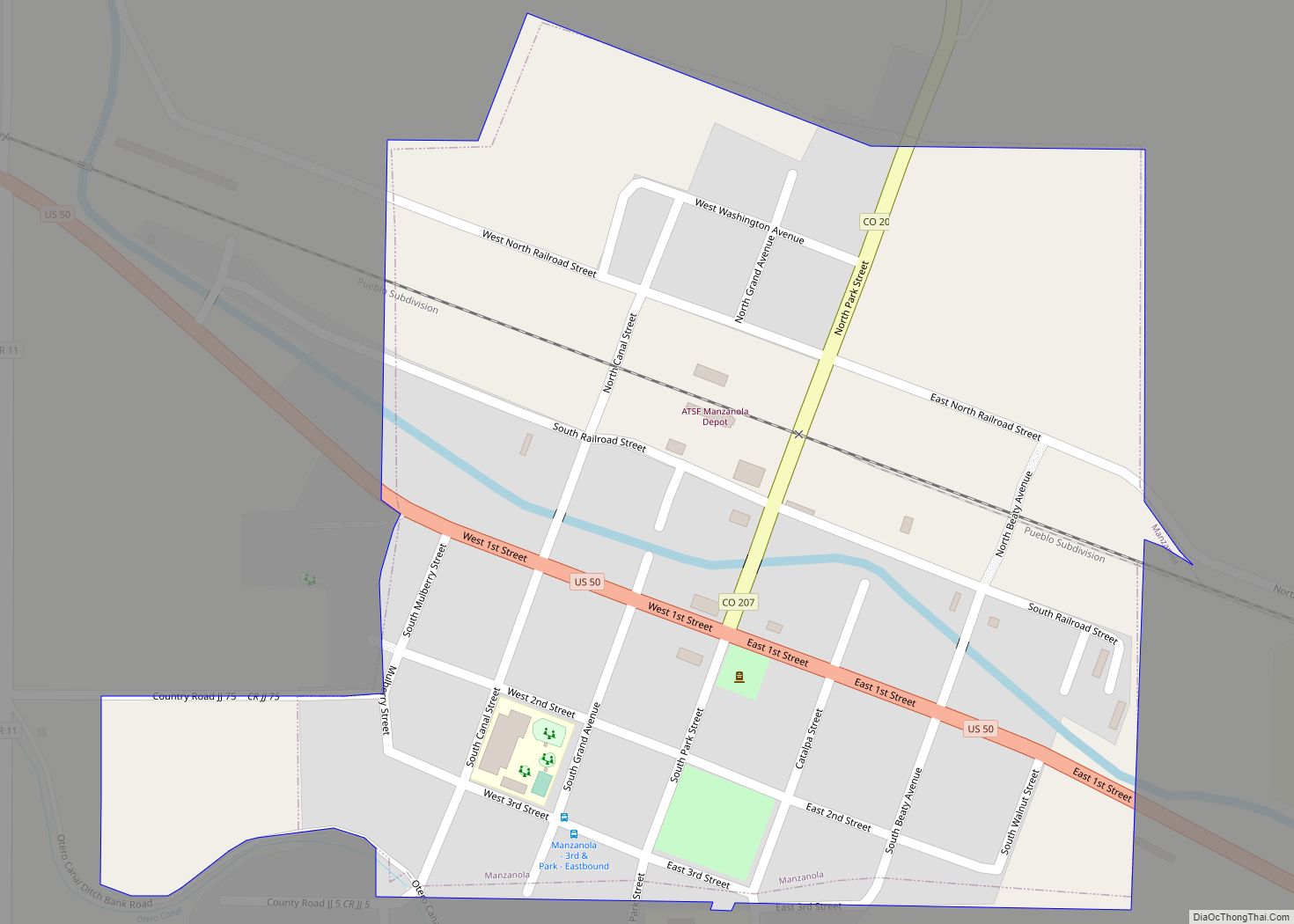
La Junta is a home rule municipality in, the county seat of, and the most populous municipality of Otero County, Colorado, United States. The city population was 7,322 at the 2020 United States Census. La Junta is located on the Arkansas River in southeastern Colorado 68 miles (109 km) east of Pueblo.
| Name: | La Junta city |
|---|---|
| LSAD Code: | 25 |
| LSAD Description: | city (suffix) |
| State: | Colorado |
| County: | Otero County |
| Incorporated: | April 23, 1881 |
| Elevation: | 4,078 ft (1,243 m) |
| Total Area: | 3.18 sq mi (8.24 km²) |
| Land Area: | 3.18 sq mi (8.23 km²) |
| Water Area: | 0.01 sq mi (0.01 km²) |
| Total Population: | 7,322 |
| Population Density: | 2,300/sq mi (890/km²) |
| ZIP code: | 81050 |
| Area code: | 719 |
| FIPS code: | 0842110 |
| GNISfeature ID: | 0204829 |
| Website: | lajuntacolorado.org |
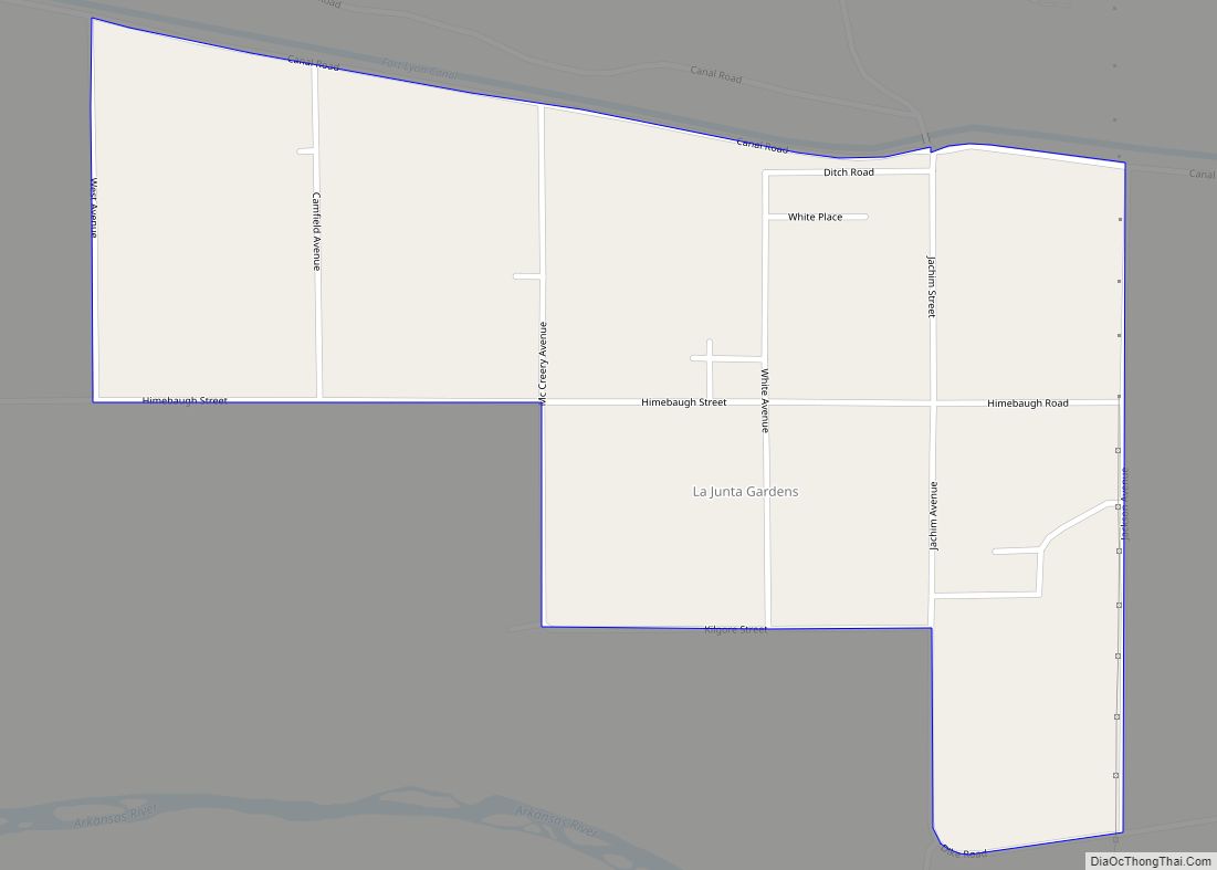
Online Interactive Map
Click on ![]() to view map in "full screen" mode.
to view map in "full screen" mode.
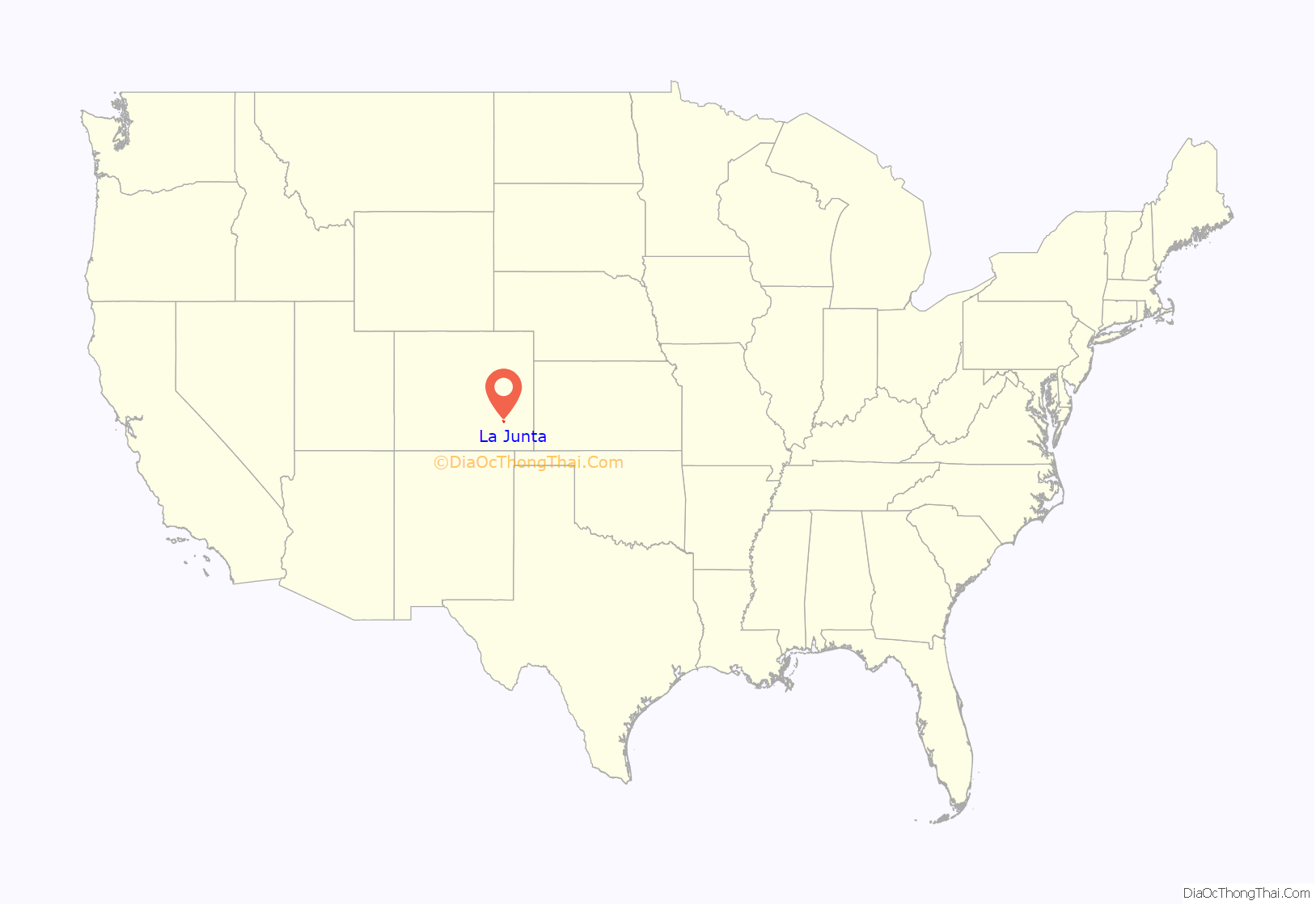
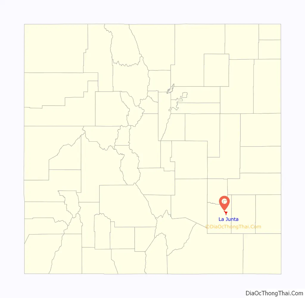
La Junta location map. Where is La Junta city?
History
La Junta (Spanish for “the junction”) was named for the fact it rested at the intersection of the Santa Fe Trail and a pioneer road to Pueblo. The town developed near Bent’s Fort, a fur trading post of the 19th century.
During World War II, La Junta had an Army Air Force Training Base outside town. An Air Force detachment of the Strategic Air Command remained there until modern flight simulators developed in the 1980s rendered live flight unnecessary for pilot training maneuvers. At least one military aircraft crashed close by during such training maneuvers.
La Junta Road Map
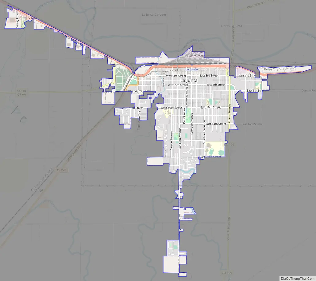
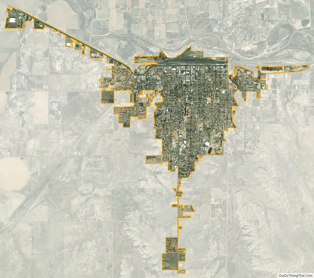
La Junta city Satellite Map
Geography
The area is high plains terrain, dry with short grass prairie and sagebrush, and is part of the Southwestern Tablelands ecological region. This area of Colorado is often the warmest. Summer brings numerous days above 100 °F (38 °C). On July 20, 2005, many cities in this region broke or tied heat records. La Junta reached 107 °F (42 °C) with an overnight low of 87 °F (31 °C). However, the all-time record high for La Junta occurred on July 20, 1998, with a temperature of 113 °F (45 °C).
See also
Map of Colorado State and its subdivision:- Adams
- Alamosa
- Arapahoe
- Archuleta
- Baca
- Bent
- Boulder
- Broomfield
- Chaffee
- Cheyenne
- Clear Creek
- Conejos
- Costilla
- Crowley
- Custer
- Delta
- Denver
- Dolores
- Douglas
- Eagle
- El Paso
- Elbert
- Fremont
- Garfield
- Gilpin
- Grand
- Gunnison
- Hinsdale
- Huerfano
- Jackson
- Jefferson
- Kiowa
- Kit Carson
- La Plata
- Lake
- Larimer
- Las Animas
- Lincoln
- Logan
- Mesa
- Mineral
- Moffat
- Montezuma
- Montrose
- Morgan
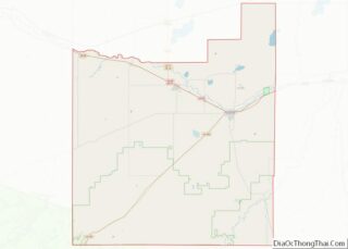
- Otero
- Ouray
- Park
- Phillips
- Pitkin
- Prowers
- Pueblo
- Rio Blanco
- Rio Grande
- Routt
- Saguache
- San Juan
- San Miguel
- Sedgwick
- Summit
- Teller
- Washington
- Weld
- Yuma
- Alabama
- Alaska
- Arizona
- Arkansas
- California
- Colorado
- Connecticut
- Delaware
- District of Columbia
- Florida
- Georgia
- Hawaii
- Idaho
- Illinois
- Indiana
- Iowa
- Kansas
- Kentucky
- Louisiana
- Maine
- Maryland
- Massachusetts
- Michigan
- Minnesota
- Mississippi
- Missouri
- Montana
- Nebraska
- Nevada
- New Hampshire
- New Jersey
- New Mexico
- New York
- North Carolina
- North Dakota
- Ohio
- Oklahoma
- Oregon
- Pennsylvania
- Rhode Island
- South Carolina
- South Dakota
- Tennessee
- Texas
- Utah
- Vermont
- Virginia
- Washington
- West Virginia
- Wisconsin
- Wyoming