Pueblo County (/ˈpwɛbloʊ/ or /ˈpjɛbloʊ/) is a county located in the U.S. state of Colorado. As of the 2020 census, the population was 168,162. The county seat is Pueblo. The county was named for the historic city of Pueblo which took its name from the Spanish language word meaning “town” or “village”. Pueblo County comprises the Pueblo, CO Metropolitan Statistical Area.
| Name: | Pueblo County |
|---|---|
| FIPS code: | 08-101 |
| State: | Colorado |
| Founded: | November 1, 1861 |
| Named for: | City of Pueblo |
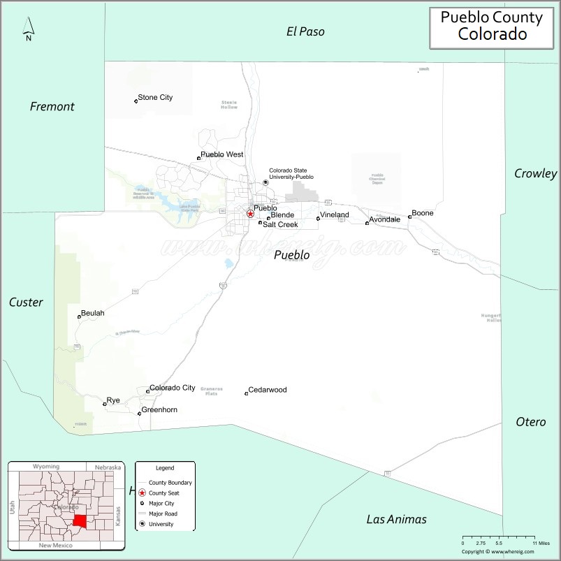
| Seat: | Pueblo |
| Largest city: | Pueblo |
| Total Area: | 2,398 sq mi (6,210 km²) |
| Land Area: | 2,386 sq mi (6,180 km²) |
| Total Population: | 169,622 |
| Population Density: | 71/sq mi (27/km²) |
| Time zone: | UTC−7 (Mountain) |
| Summer Time Zone (DST): | UTC−6 (MDT) |
| Website: | county.pueblo.org |
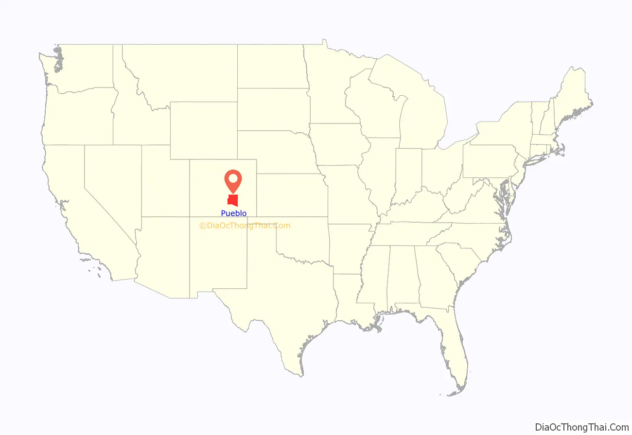
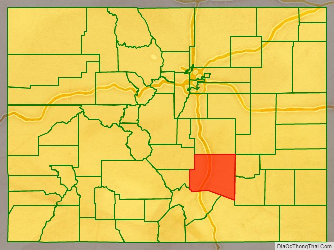
Pueblo County location map. Where is Pueblo County?
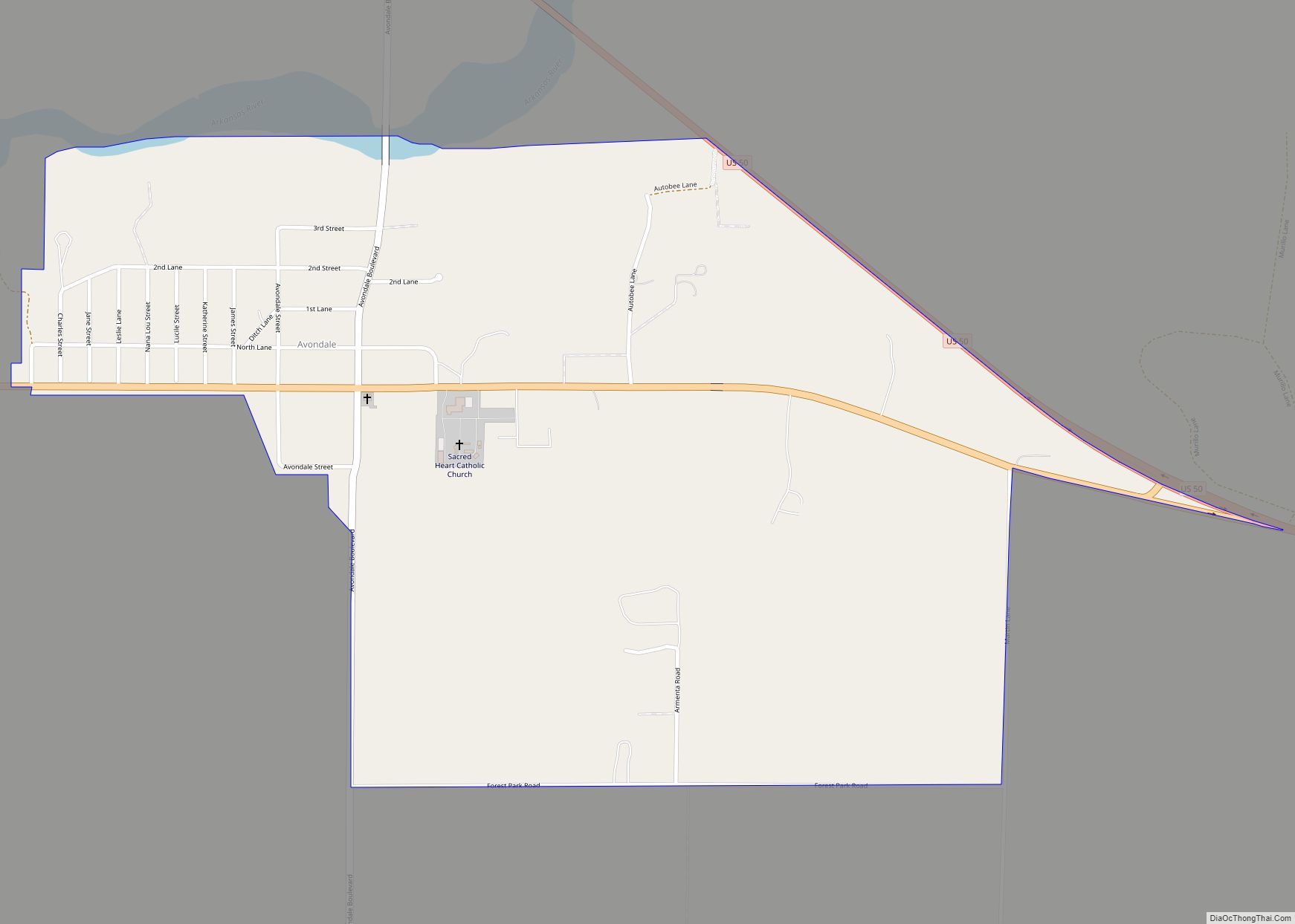
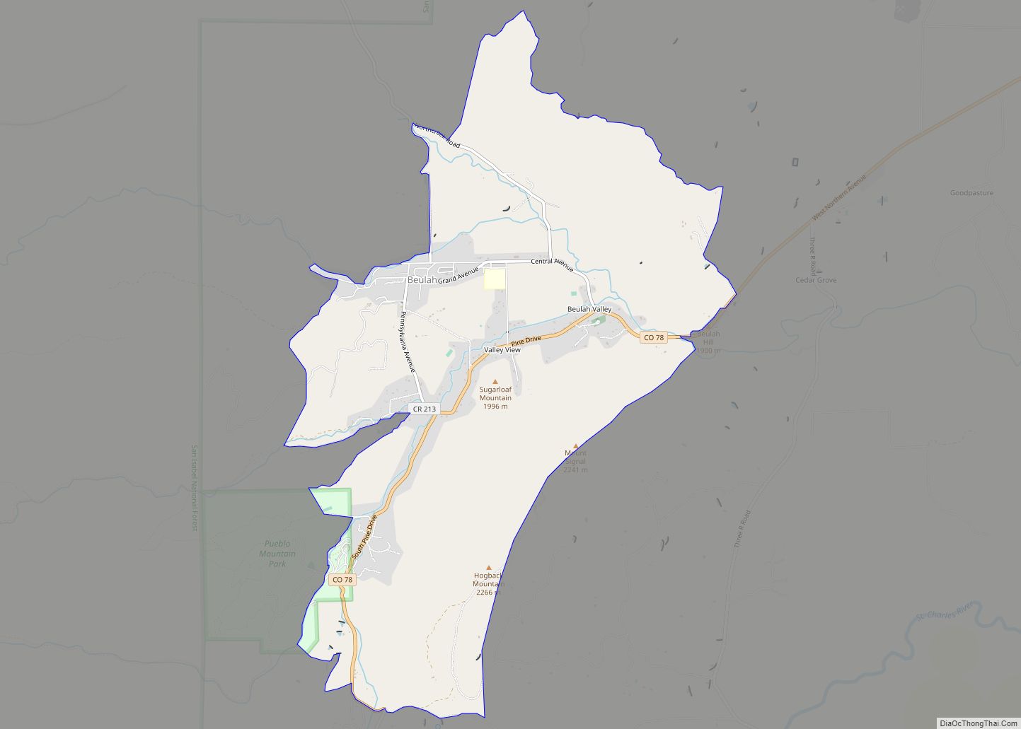
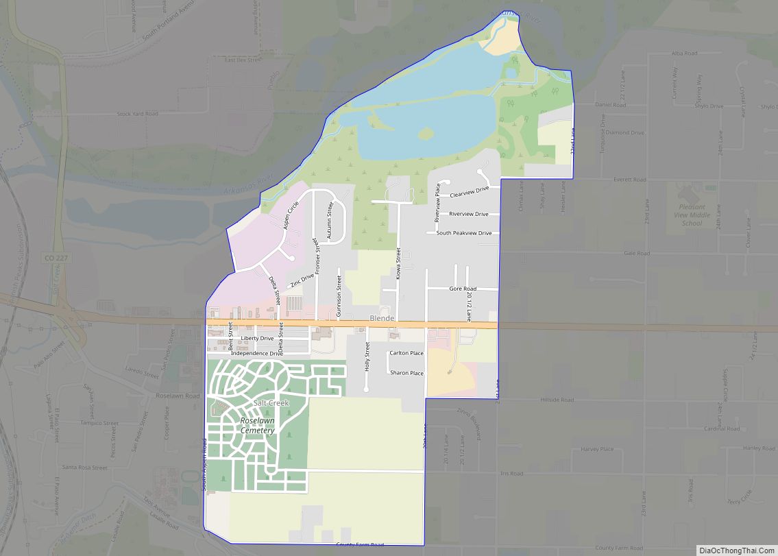
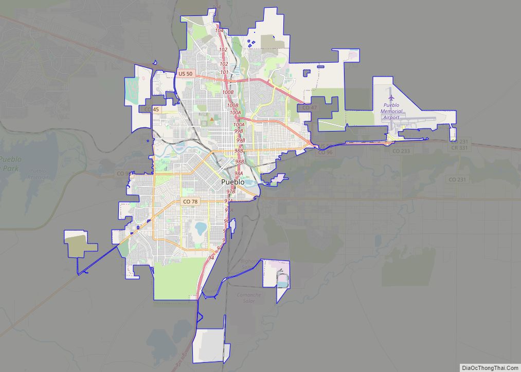
Pueblo County Road Map
Geography
According to the U.S. Census Bureau, the county has a total area of 2,398 square miles (6,210 km), of which 2,386 square miles (6,180 km) is land and 12 square miles (31 km) (0.5%) is water.
Adjacent counties
- El Paso County – north
- Lincoln County – northeast
- Crowley County – east
- Otero County – east
- Las Animas County – south
- Huerfano County – southwest
- Custer County – west
- Fremont County – northwest
Major Highways
- Interstate 25
- U.S. Highway 50
- U.S. Highway 85
- State Highway 10
- State Highway 45
- State Highway 47
- State Highway 78
- State Highway 96
- State Highway 120
- State Highway 165
- State Highway 167
National protected areas
- San Isabel National Forest
- Greenhorn Mountain Wilderness
Trails and byways
- American Discovery Trail
- Frontier Pathways National Scenic and Historic Byway
- TransAmerica Trail Bicycle Route
- Western Express Bicycle Route
Pueblo County Topographic Map
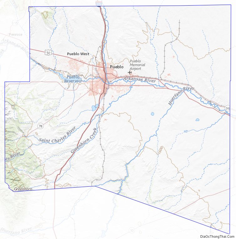
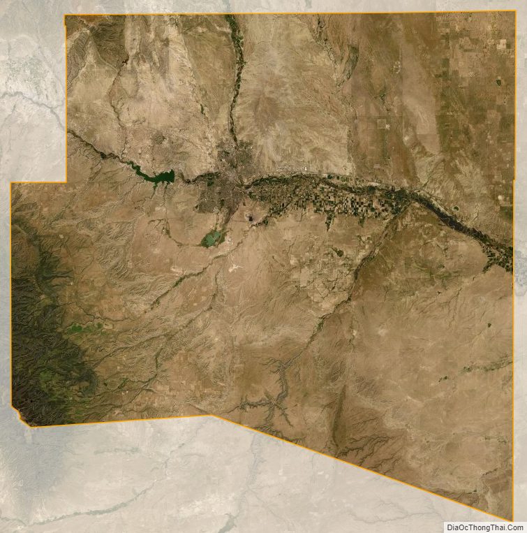
Pueblo County Satellite Map
Pueblo County Outline Map