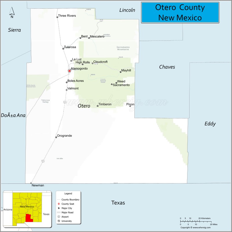
Otero County is a county located in the U.S. state of New Mexico. As of the 2010 census, the population was 63,797. Its county seat is Alamogordo. Its southern boundary is the Texas state line. It is named for Miguel Antonio Otero, the territorial governor when the county was created.
Otero County includes the Alamogordo Micropolitan Statistical Area.
| Name: | Otero County |
|---|---|
| FIPS code: | 35-035 |
| State: | New Mexico |
| Founded: | January 30, 1899 |
| Named for: | Miguel Antonio Otero |
| Seat: | Alamogordo |
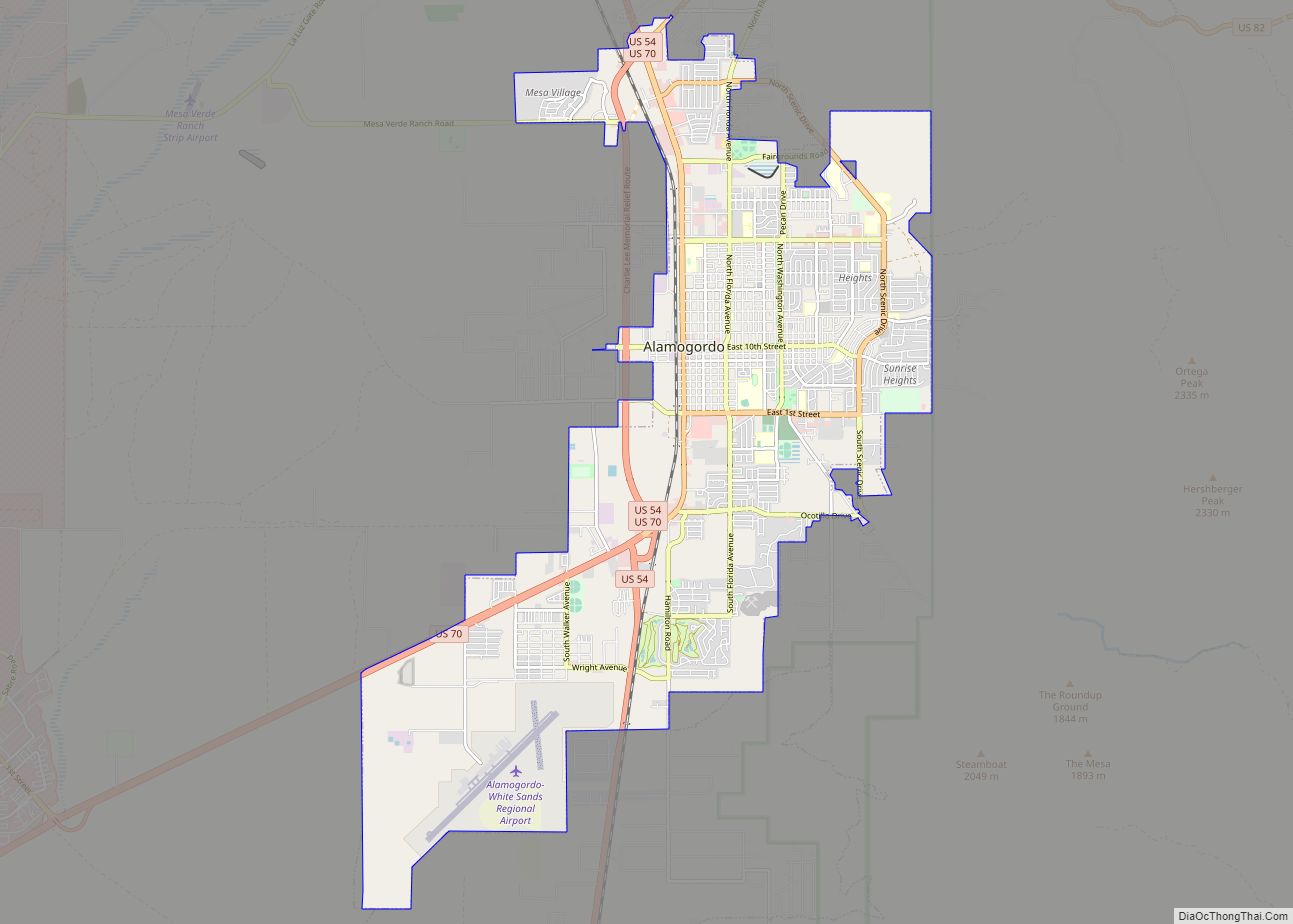
| Largest city: | Alamogordo |
| Total Area: | 6,628 sq mi (17,170 km²) |
| Land Area: | 6,613 sq mi (17,130 km²) |
| Total Population: | 68,537 |
| Population Density: | 9.6/sq mi (3.7/km²) |
| Time zone: | UTC−7 (Mountain) |
| Summer Time Zone (DST): | UTC−6 (MDT) |
| Website: | co.otero.nm.us |
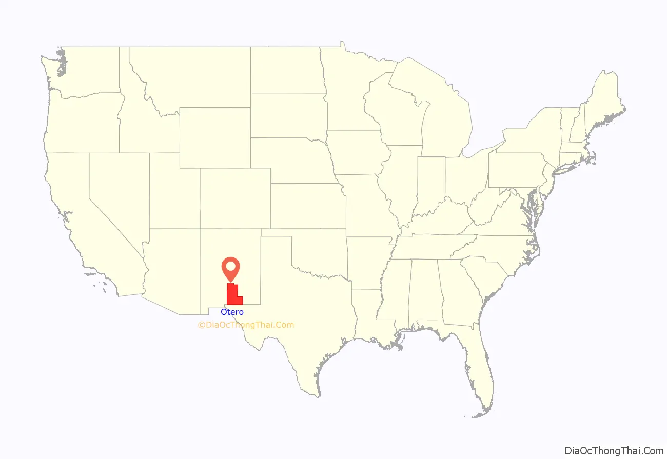
Otero County location map. Where is Otero County?
History
The county declared a state of emergency in April 2019 when the federal inspection stations on U.S. Route 70 and U.S. Route 54 were left unstaffed by U.S. Customs and Border Protection as part of the temporary closure of all six checkpoints in the El Paso Sector, which covers West Texas and New Mexico. The county was concerned about the possibility of illegal narcotics flowing north unchecked since the checkpoint agents had been shifted to the border to help process migrant asylum-seekers. The inspection stations reopened August 5, 2019.
On Monday June 13, 2022, the county commissioners attracted nationwide attention by refusing to certify the results of the local 2022 primary election on June 7, 2022. In response, the New Mexico Secretary of State filed a lawsuit and writ of mandamus against the commissioners for their refusal. By Friday June 17, 2022, two of the three commissioners agreed to certify the election results, which defused the crisis.
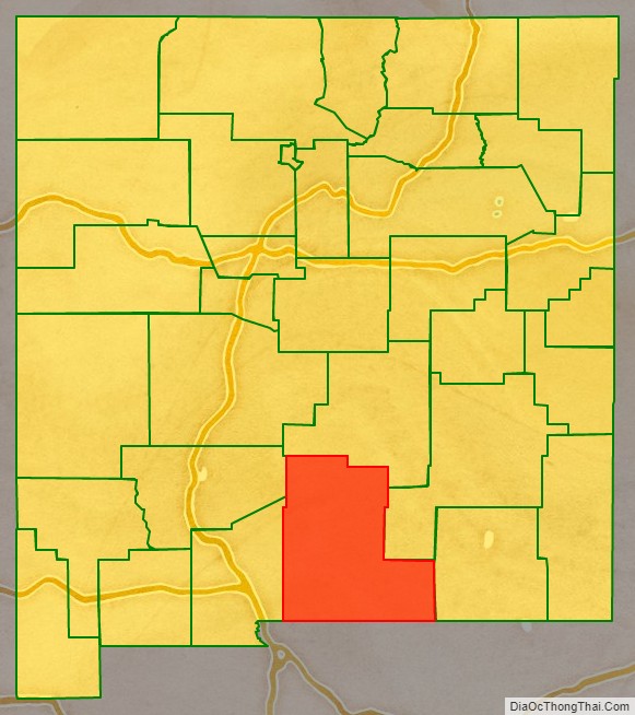
Otero County Road Map
Geography
According to the U.S. Census Bureau, the county has a total area of 6,628 square miles (17,170 km), of which 6,613 square miles (17,130 km) is land and 14 square miles (36 km) (0.2%) is water. It is the third-largest county in New Mexico by area.
Adjacent counties
- Doña Ana County – west
- Sierra County – northwest
- Lincoln County – north
- Chaves County – east
- Eddy County – east
- Culberson County, Texas – southeast
- Hudspeth County, Texas – south
- El Paso County, Texas – southwest
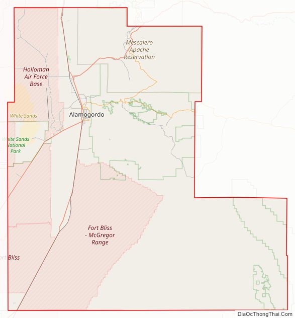
National protected areas
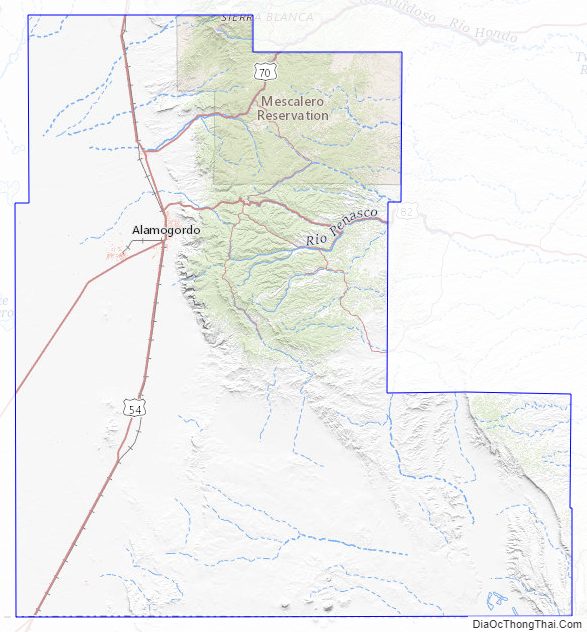
- Lincoln National Forest (part)
- White Sands National Park (part)
Otero County Topographic Map
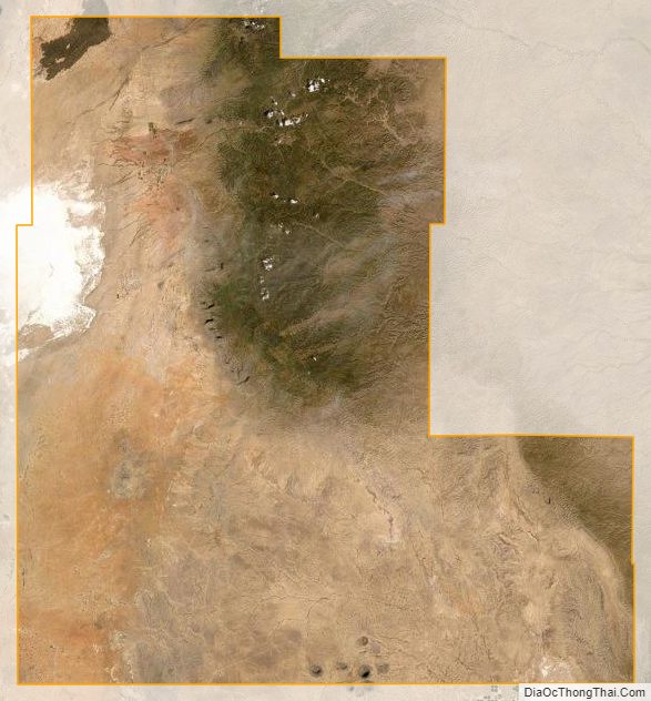
Otero County Satellite Map
Otero County Outline Map