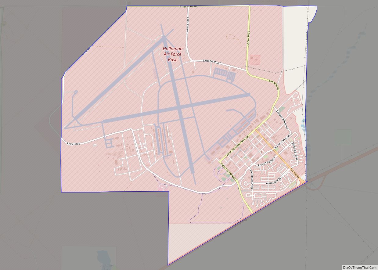
Alamogordo (/ˌæləməˈɡɔːrdoʊ/) is the seat of Otero County, New Mexico, United States. A city in the Tularosa Basin of the Chihuahuan Desert, it is bordered on the east by the Sacramento Mountains and to the west by Holloman Air Force Base. The population was 31,384 as of the 2020 census. Alamogordo is known for its connection with the 1945 Trinity test, which was the first ever explosion of an atomic bomb.
Humans have lived in the Alamogordo area for at least 11,000 years. The present settlement, established in 1898 to support the construction of the El Paso and Northeastern Railroad, is an early example of a planned community. The city was incorporated in 1912. Tourism became an important economic factor with the creation of White Sands National Monument in 1933, which is still one of the biggest attractions of the city today. During the 1950s–60s, Alamogordo was an unofficial center for research on pilot safety and the developing United States’ space program.
Alamogordo is a charter city with a council-manager form of government. City government provides a large number of recreational and leisure facilities for its citizens, including a large park in the center of the city, many smaller parks scattered through the city, a golf course, Alameda Park Zoo, a network of walking paths, Alamogordo Public Library, and a senior citizens’ center. Gerald Champion Regional Medical Center is a nonprofit shared military/civilian facility that is also the hospital for Holloman Air Force Base.
| Name: | Alamogordo city |
|---|---|
| LSAD Code: | 25 |
| LSAD Description: | city (suffix) |
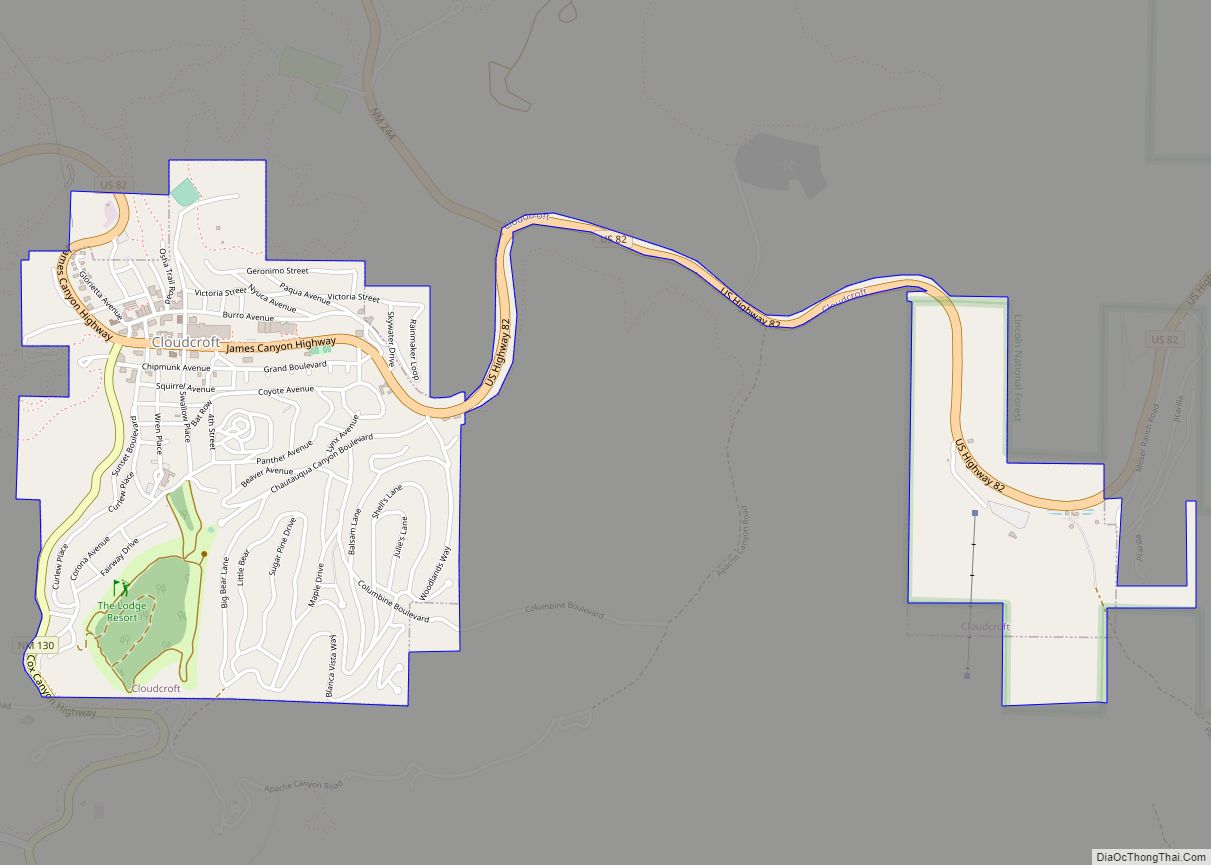
| State: | New Mexico |
| County: | Otero County |
| Founded: | 1898 |
| Incorporated: | 1912 |
| Elevation: | 4,330 ft (1,320 m) |
| Total Area: | 21.58 sq mi (55.90 km²) |
| Land Area: | 21.57 sq mi (55.87 km²) |
| Water Area: | 0.01 sq mi (0.03 km²) |
| Total Population: | 31,384 |
| Population Density: | 1,432.32/sq mi (553.02/km²) |
| ZIP code: | 88310, 88311 (PO Box) |
| Area code: | 575 |
| FIPS code: | 3501780 |
| GNISfeature ID: | 2409672 |
| Website: | ci.alamogordo.nm.us |
Online Interactive Map
Click on ![]() to view map in "full screen" mode.
to view map in "full screen" mode.
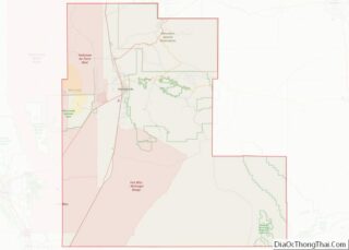
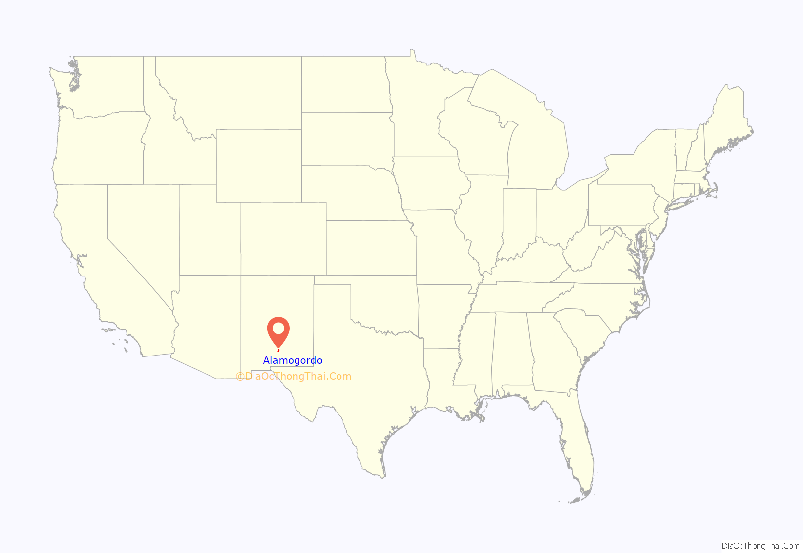
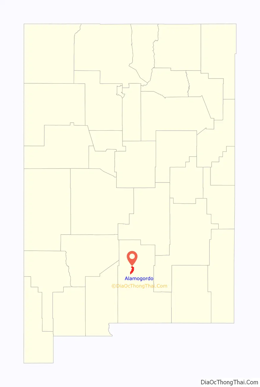
Alamogordo location map. Where is Alamogordo city?
History
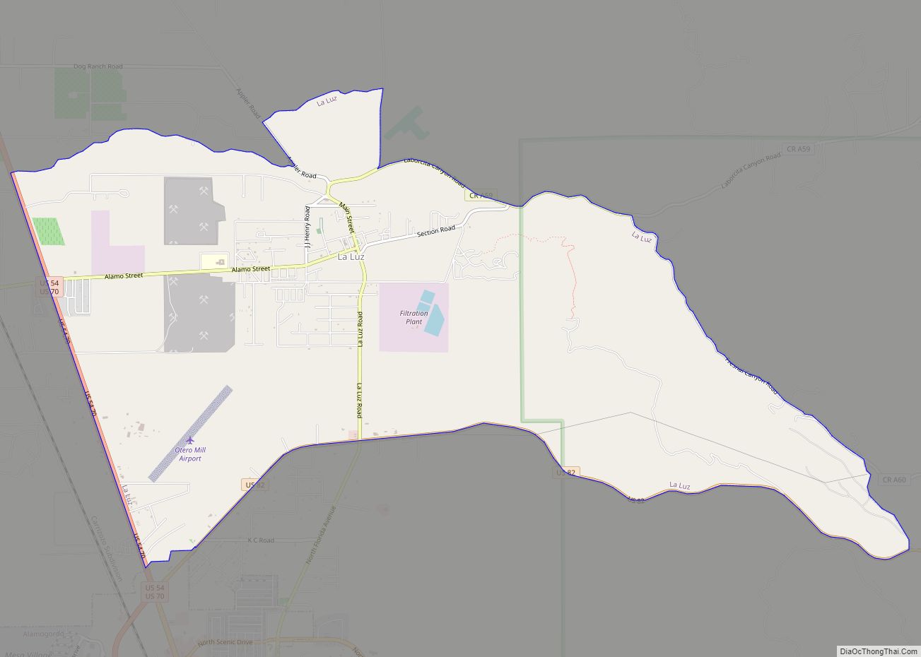
Tularosa Basin has been inhabited for at least 11,000 years. There are signs of previous inhabitants in the area such as the Clovis culture, the Folsom culture, the peoples of the Archaic period, and the Formative stage. The Mescalero Apache were already living in the Tularosa Basin when the Spanish came in 1534, and Mescalero oral history says they have always lived there. The Spanish built a chapel at La Luz (about 5 miles (8.0 km) from the future site of Alamogordo) in 1719, although La Luz was not settled until about 1860.
The city of Alamogordo was founded in June 1898, when the El Paso and Northeastern Railroad, headed by Charles Bishop Eddy, extended the railway to the town. Eddy influenced the design of the community, which included large wide thoroughfares and tree-lined irrigation canals. Charles Eddy’s brother, John Arthur Eddy, named the new city Alamogordo (“large/fat cottonwood” in Spanish) after a grove of fat cottonwoods he remembered from the Pecos River area. When Alamogordo was laid out in 1898, the east–west streets were given numerical designations, while north–south streets were named after states. The present-day White Sands Boulevard was then called Pennsylvania Avenue.
Several government buildings in Alamogordo were constructed by the Works Progress Administration, a government program created in 1935 in response to the Great Depression. These include the Otero County Administration Building at 1101 New York Avenue, a Pueblo style building originally constructed as the main U.S. Post Office in 1938. The building is listed in the National Register of Historic Places. The main entrance portico features frescoes by Peter Hurd completed in 1942. The Post Office moved out in 1961, and the building was used by a succession of Federal agencies and was known as the Federal Building. The last Federal agency to occupy it was the United States Forest Service who used it as the headquarters of the Lincoln National Forest until October 2008, when that agency moved to a newly constructed building. Ownership of the building was transferred to Otero County government and many government offices were moved from the Courthouse to its new Administration Building in February 2009.
In 1983, Atari, Inc. buried over 700 thousand Atari 2600 video game cartridges, most notably E.T. the Extra-Terrestrial, in Alamogordo’s landfill. Alamogordo briefly made international news in late 2001 when Christ Community Church held a public book burning of books in the Harry Potter series, and several other series, on December 30.
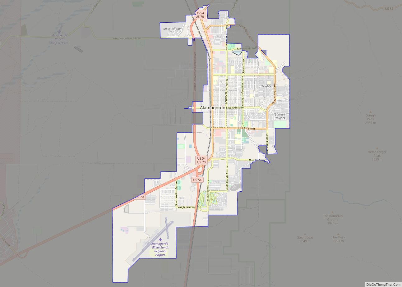
Alamogordo Road Map
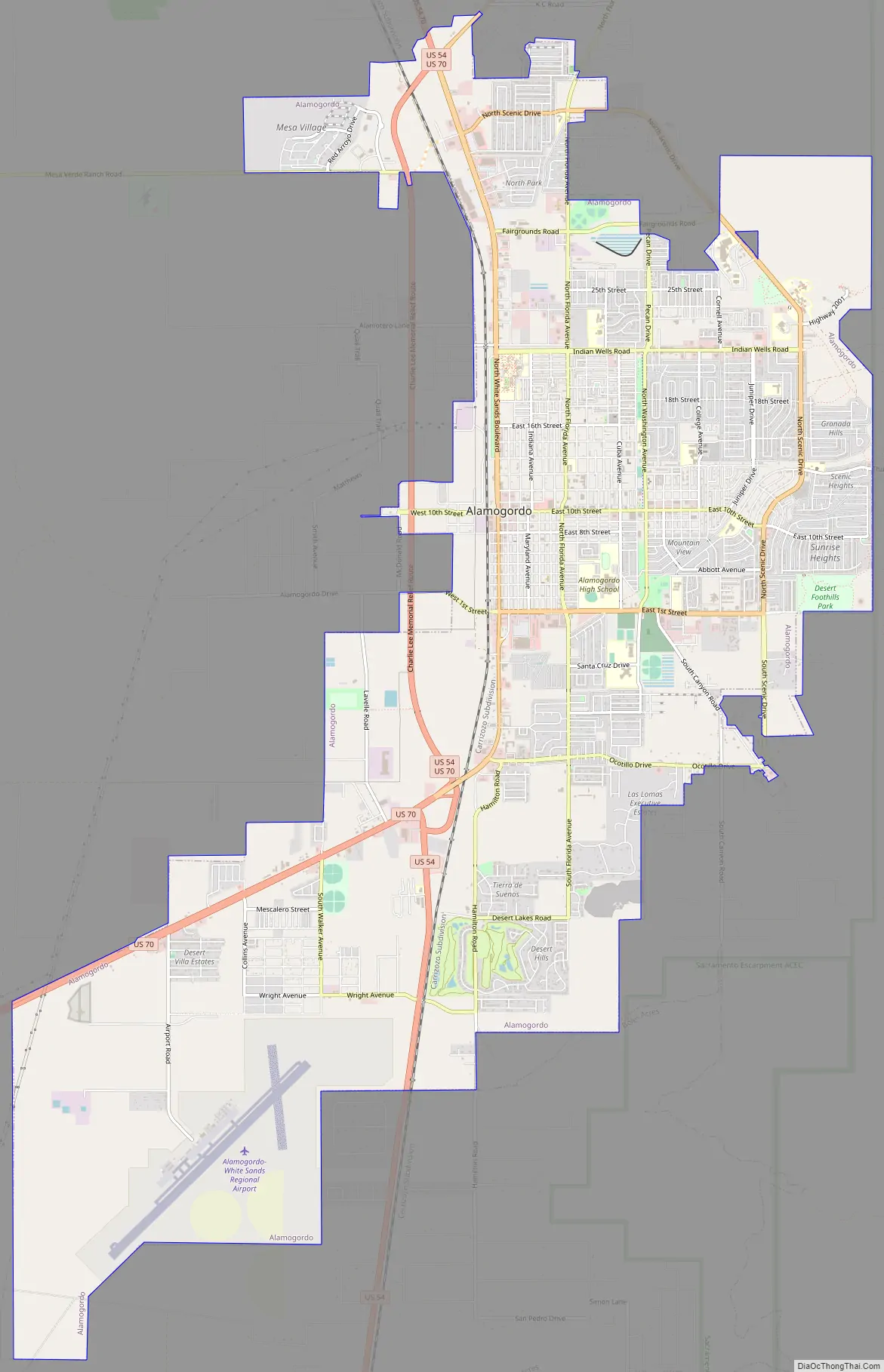
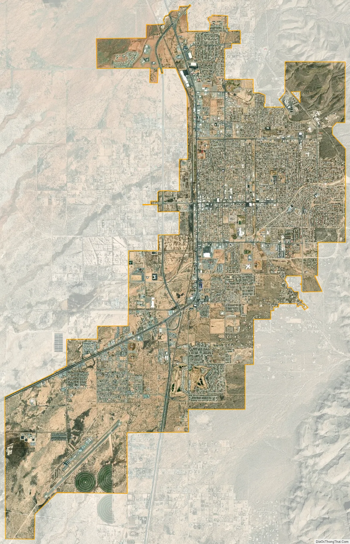
Alamogordo city Satellite Map
Geography
As of 2010, Alamogordo had a total area of 19.3 square miles (50.0 km), all land. The city is located at an elevation of 4,330 feet (1,320 m) on the western flank of the Sacramento Mountains and on the eastern edge of the Tularosa Basin. It lies within the Rio Grande rift and in the northernmost part of the Chihuahuan Desert. Tectonic activity is low in the Tularosa Basin. Plants native to the area are typical of the southern New Mexico foothills and include creosote bush, mesquite, saltbush, cottonwood, desert willow, and many species of cactus and yucca.
The Tularosa Basin is an endorheic, or closed, basin; that is, no water flows out of it. Because of this and because of the geology of the region, water in the basin is hard: it has very high total dissolved solids concentrations, in excess of 3,000 mg/L. The Brackish Groundwater National Desalination Research Facility, a Bureau of Reclamation laboratory doing research and development on desalination of brackish water, is located in Alamogordo. The gypsum crystals of White Sands National Park are formed in Lake Lucero. Water drains from the mountains carrying dissolved gypsum and collects in Lake Lucero. After the water dries, the winds pick up the gypsum crystals and distribute them over the basin.
Climate
Alamogordo has a cool arid climate (Köppen BWk) with hot summers and mild winters. Rainfall is low and usually confined to the monsoon from July to September, when half a typical year’s rainfall of 10.63 in (270.0 mm) will occur – although December 1991 did see 5.45 in (138.4 mm). The wettest calendar year has been 1941 with 21.87 in (555.5 mm) and the driest 1952 with 4.85 in (123.2 mm), while the wettest month on record has been September 1941 when 6.94 in (176.3 mm) fell. September 1941 also saw the largest daily rainfall at Alamogordo with 2.60 in (66.0 mm) falling on the 22nd of that month.
Temperatures outside of monsoonal storms are very hot during the summer: 94.8 days exceed 90 °F (32.2 °C) and temperatures as high as 110 °F (43.3 °C) occurred on June 22, 1981, and July 8 of 1951. During the winter, days are very mild and sunny, but nights are cold, with 32 °F (0 °C) reached on 73.6 mornings during an average winter, although only seven mornings have ever fallen to or below 0 °F (−17.8 °C), with the coldest temperature recorded at Alamogordo being −4 °F (−20.0 °C) during a major cold wave on January 11, 1962. Snow is very rare, with a mean of no more than 4.1 in (0.10 m) and a median very close to zero. The most snowfall in one month was 10.0 in (0.25 m) in December 1960.
See also
Map of New Mexico State and its subdivision: Map of other states:- Alabama
- Alaska
- Arizona
- Arkansas
- California
- Colorado
- Connecticut
- Delaware
- District of Columbia
- Florida
- Georgia
- Hawaii
- Idaho
- Illinois
- Indiana
- Iowa
- Kansas
- Kentucky
- Louisiana
- Maine
- Maryland
- Massachusetts
- Michigan
- Minnesota
- Mississippi
- Missouri
- Montana
- Nebraska
- Nevada
- New Hampshire
- New Jersey
- New Mexico
- New York
- North Carolina
- North Dakota
- Ohio
- Oklahoma
- Oregon
- Pennsylvania
- Rhode Island
- South Carolina
- South Dakota
- Tennessee
- Texas
- Utah
- Vermont
- Virginia
- Washington
- West Virginia
- Wisconsin
- Wyoming